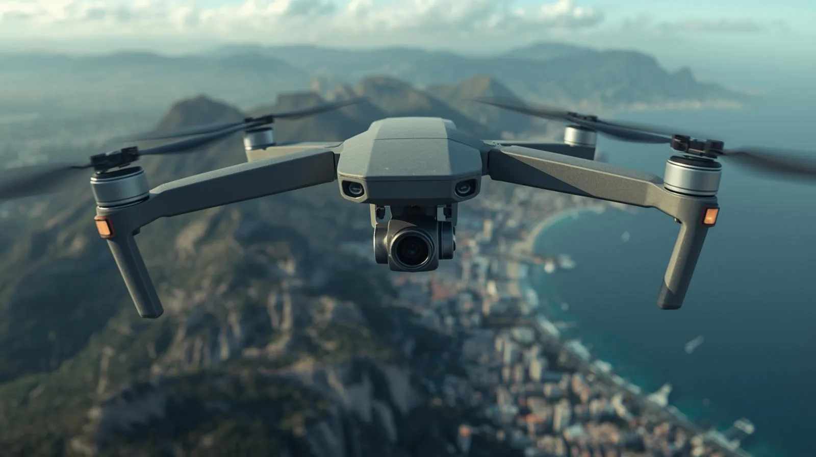
All SkySnap Articles
Discover what you can achieve by using SkySnap’s tools. Read about new technologies in geodesy, construction site management, and drone utilization.
Featured Articles
17 February 2025
All Articles
Property managers, communities and insurers are looking for operators who provide a complete report - not just flight footage. Most operators don't know how to structure and price it. In this webinar, we will walk you through the entire process from A to Z.

Free SkySnap webinar - 21.04.2026, at. 11:00. We will show a new inspection module for buildings and automatic data processing functions (3D models, orthophotos). Practical demo and implementation ideas for drone companies, surveyors and photogrammetrists.
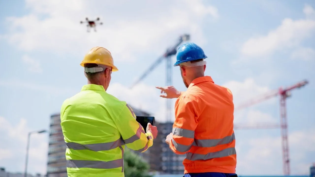
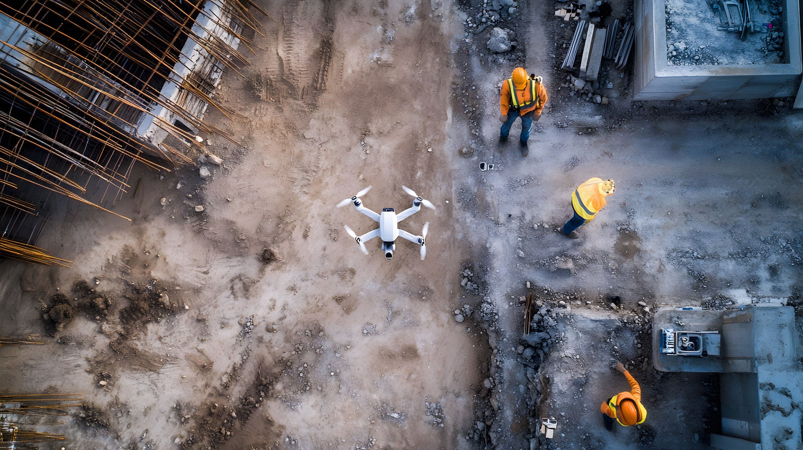
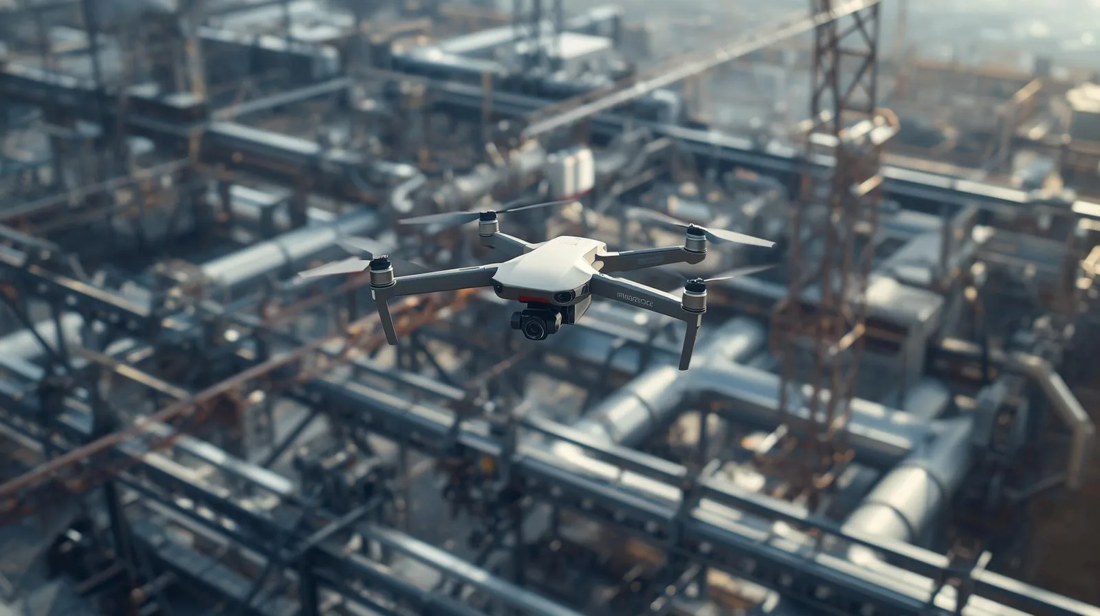
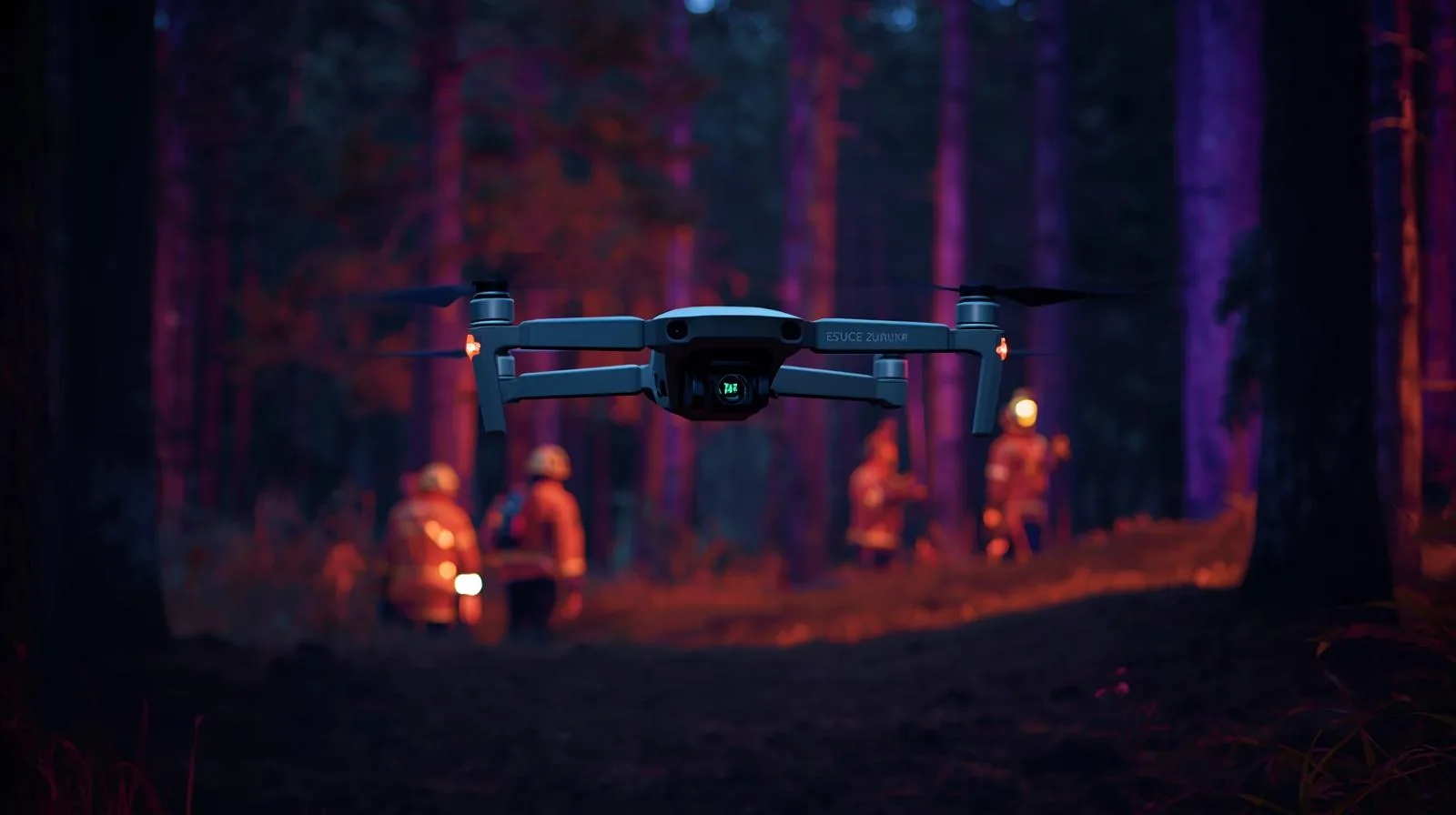
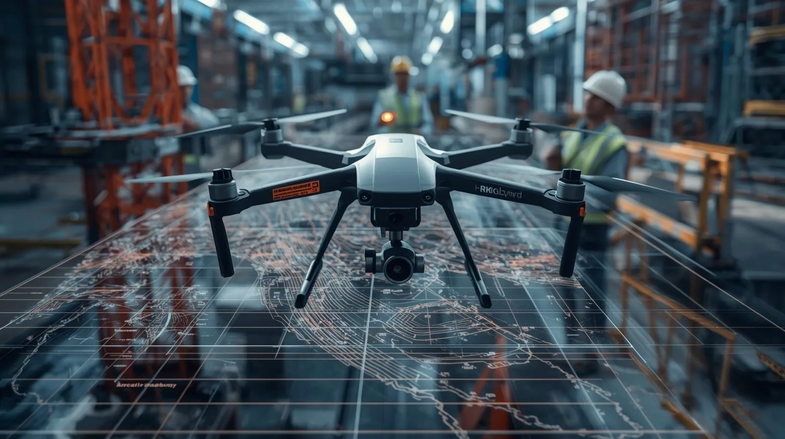
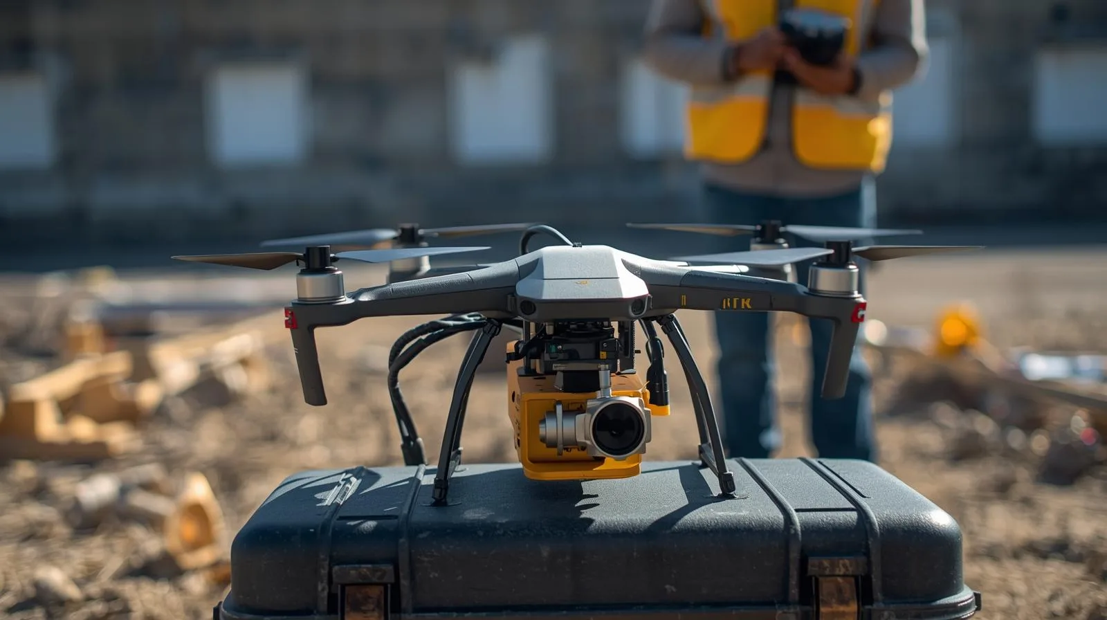
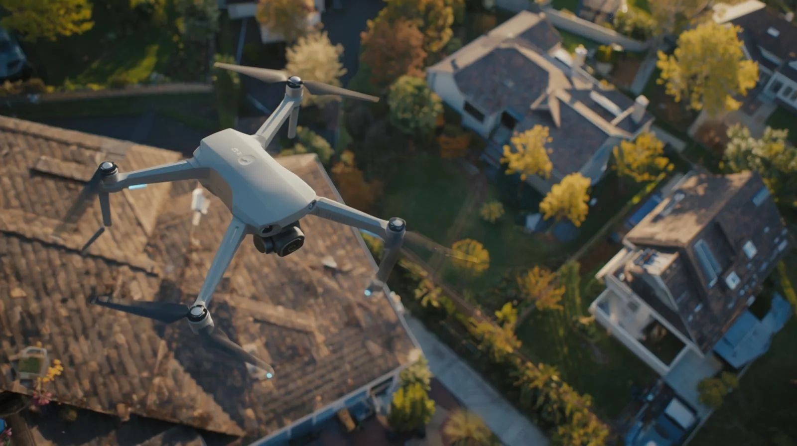
Managing a modern building is a constant battle against the passage of time and the destructive influence of nature. Whether you're looking after an office building, an industrial hall or a housing development, the greatest dangers lurk where the eye can't see - in the highest parts of the structure and in hard-to-reach places. The roof, gutters, flashings and facade details are the front line in the clash with rain, frost and UV radiation.

The roof is one of the most expensive parts of a building... especially when problems are noticed too late. Leaks, damage or lingering water often remain invisible without an expensive and risky visual inspection.
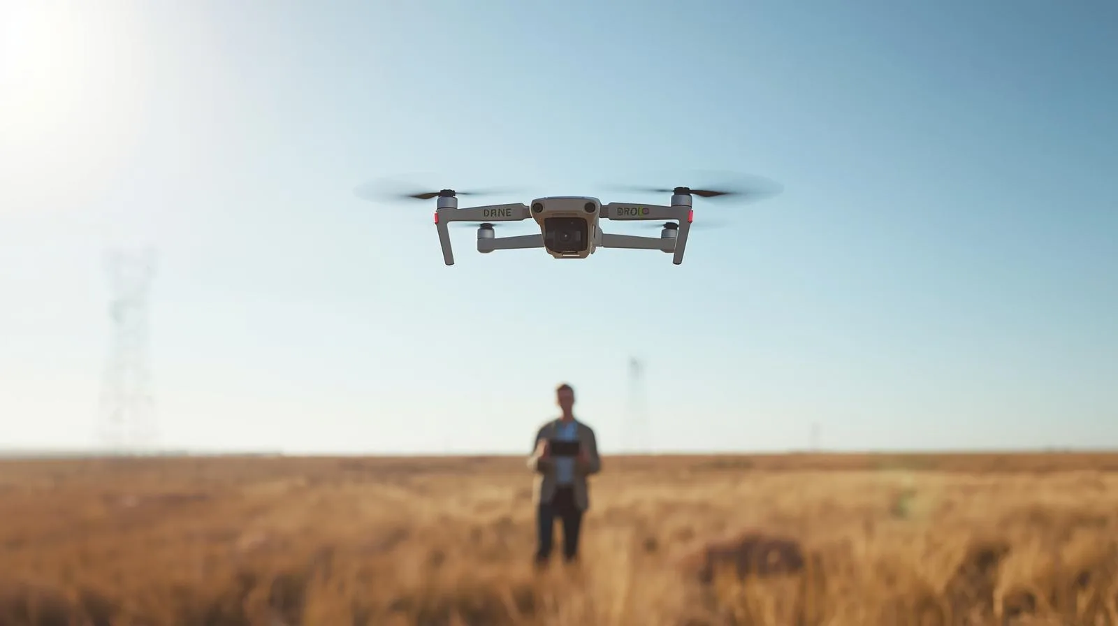
What if you could check the condition of the roof quickly, accurately, and without climbing high?
During the webinar, we will show how to use roof inspection drones in practice - not just to take pictures, but to create real-world useful documentation that supports renovation decisions and conversations with contractors.
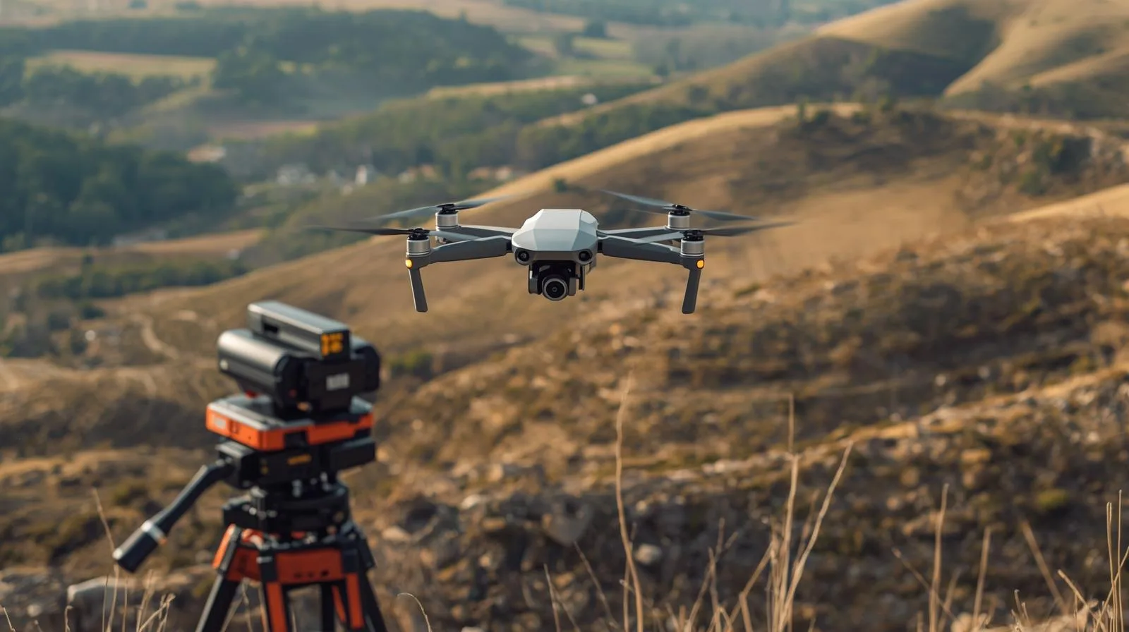
It used to be that inventories of waterfronts and reservoirs required difficult point measurements. Today, unmanned technology and the use of bathymetry make it possible to create a complete set of depth data. Having data from above and below the water yields a continuous terrain model which allows for earthwork measurements and spatial analysis.

On the occasion of Surveyor's Day, Megadron and SkySnap have prepared a special promotional campaign for those who want to work faster, more convenient and more professionally. It's an offer aimed at surveyors, drone operators and companies carrying out measurements, documentation and field analysis using BSP technology.
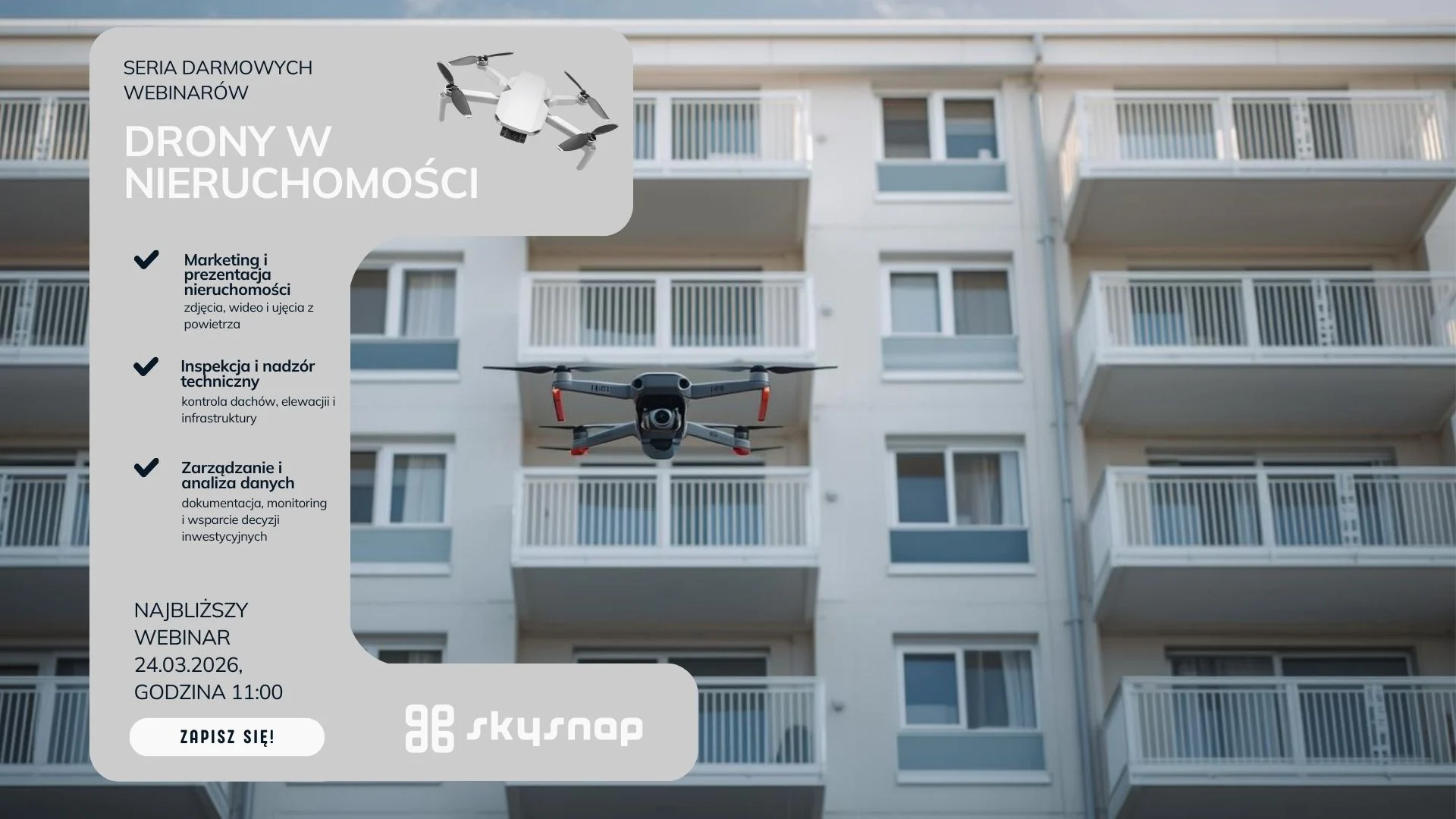
Learn how drones support property managers and housing communities in inspections and documentation. Webinar 24.03 at 11:00 a.m. Check out practical implementations.

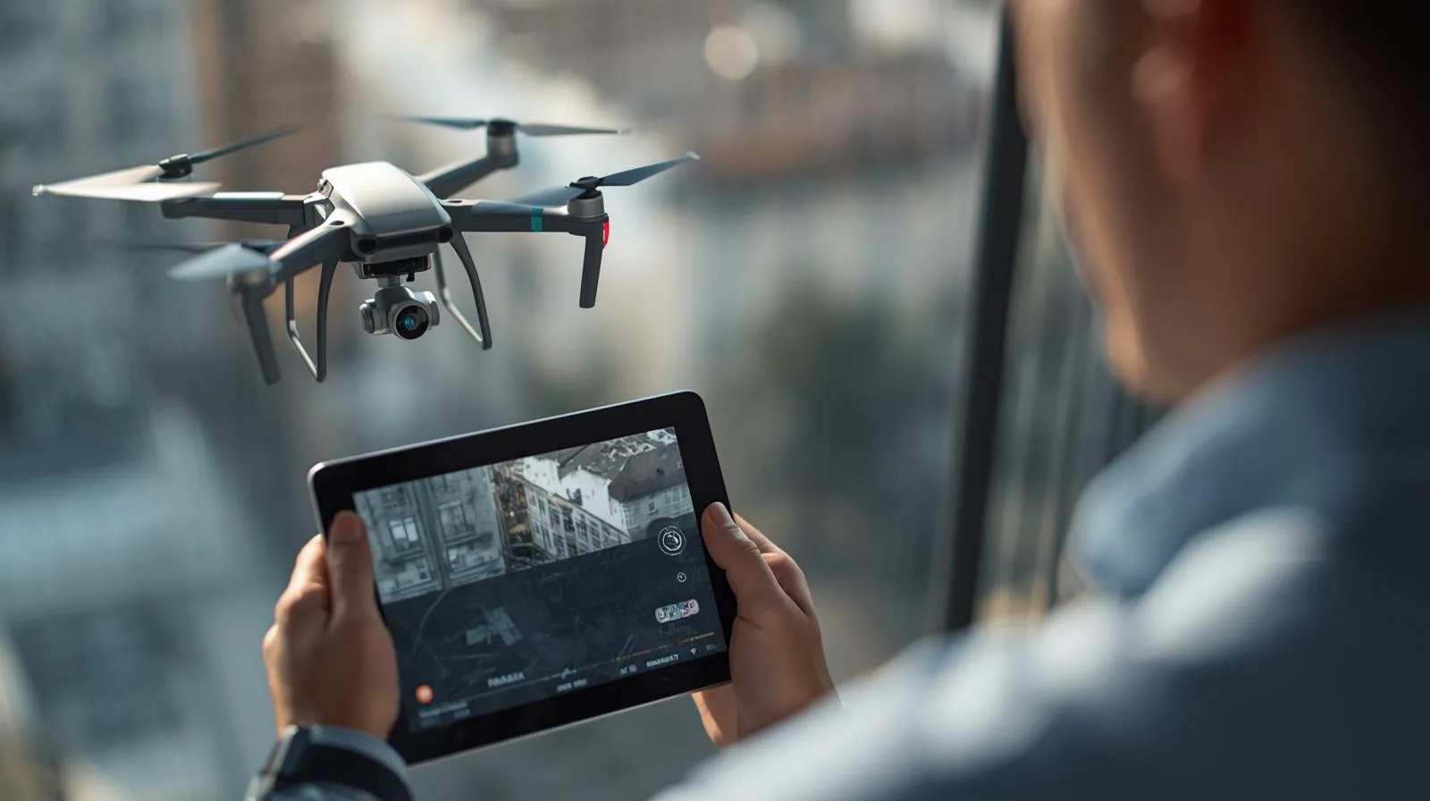
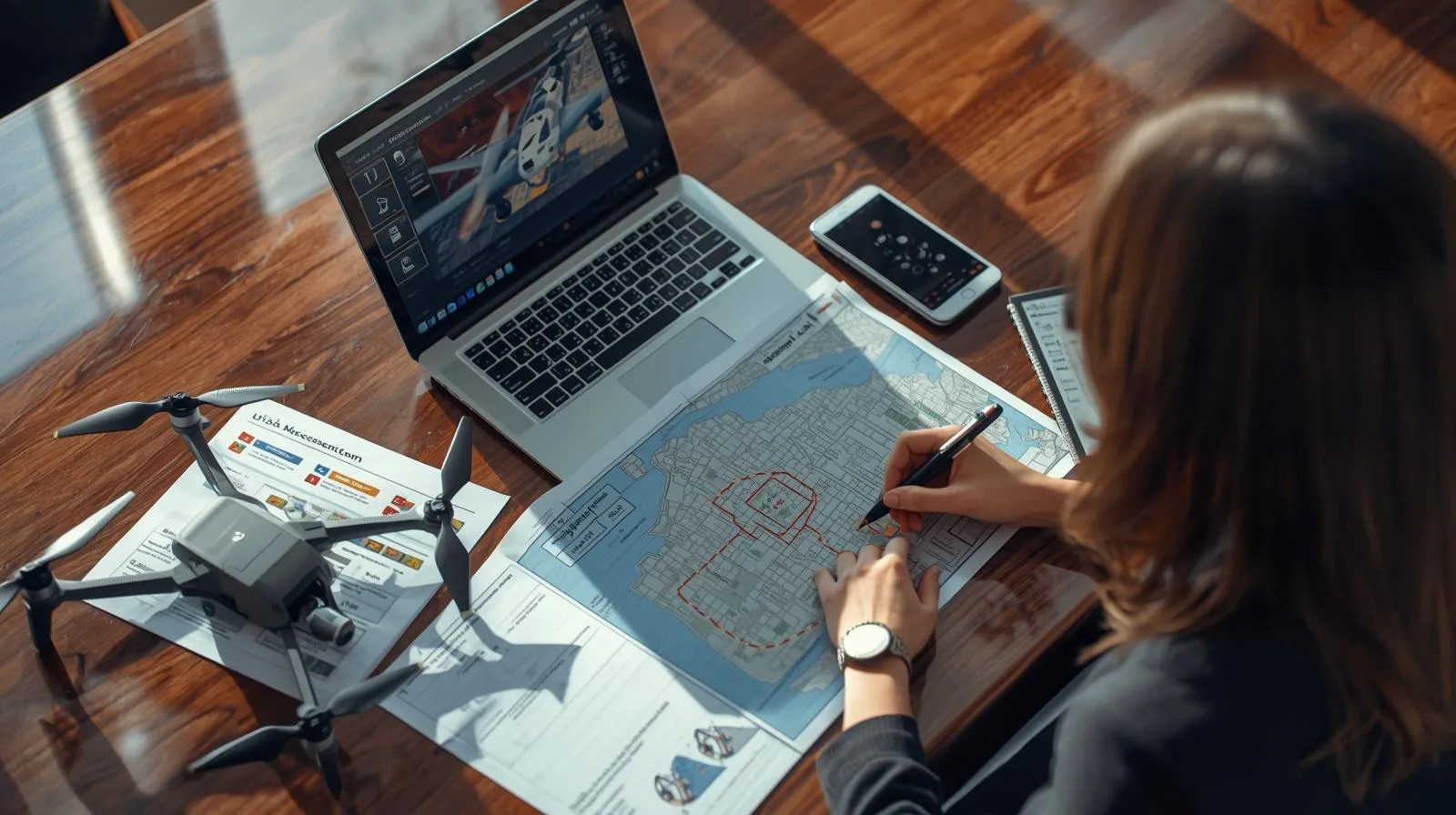
Warsaw, February 2, 2026 SkySnap announces the launch of an inspection module in SkySnap Portal. The new functionality has been designed primarily for the real estate industry, where inspections of roofs, elevations, balconies and installations are increasingly being carried out with drones, faster, more accurately and more cheaply than with traditional methods. Inspection materials, including photos, video and data for analysis, are reviewed and discussed in the portal. An inspection report is then created on this basis as a result of the drone operator's collaboration with an engineer, building inspector or field expert. SkySnap emphasizes that the report is both a PDF document and a "live" record in the portal that can be revisited when planning repairs, verifying defects and monitoring progress.

In an era of technological innovation, drones vs. traditional construction [...]

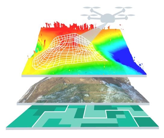
In modern construction and surveying, data has become the new currency, whose real value depends on one uncompromising factor - accuracy. While traditional field surveying has for years been regarded as synonymous with reliability, drone photogrammetry is still sometimes seen by some as a glamorous but risky gadget. This is misguided thinking, as a properly designed raid process and professional processing can achieve geodetic precision of 1-5 cm, saving hundreds of hours of work. Therefore, it is worth considering how to move from the stage of taking aesthetically pleasing photos to creating full-fledged engineering documentation that will pass any inspection.
Drone technology is gaining popularity and contributing to many advances [...]
Today, technology is constantly evolving, providing us with innovative solutions [...]

Science and technology are improving the quality of life and [...]

An expert panel on what's really working on construction sites today: from AI trends, SkySnap and R&D approaches, to practical Q&A in three areas: automation and reporting, detection/classification, and as-built vs. as-designed (BIM/IFC) comparison.

Free SkySnap webinar: learn how to get funding and grow your drone business - April 14, 2026

Do you feel that pricing drone services is a "shot in the dark"? In an episode of the series "Earning with a Drone: Photogrammetry" we'll show how to approach pricing realistically and marginally: from costs, to risks and scope, to a bid that defends itself against clients and competitors. Together we'll walk through the key factors of valuation and the typical pitfalls (underestimation, gratuitous "giveaways," overly broad scope).
Warsaw, February 2, 2026 SkySnap provides two key functionalities in the SkySnap Portal: support for BIM files in IFC format and visualization and analysis of 3D mesh models directly in the browser. Users can work in a single environment with the full range of spatial data: from orthophotos and point clouds, to DTM/DSM, to 3D (mesh) and BIM (IFC) models. According to SkySnap, it is one of the few solutions on the market that combines these types of data in a single online portal.
In the age of new technologies, we are able to [...]
Scan to BIM technology addresses one of the key challenges in construction and infrastructure - the lack of up-to-date, accurate and reliable documentation of existing facilities. In practice, design and construction decisions are often made on the basis of incomplete or outdated data, which generates the risk of errors and costly corrections.
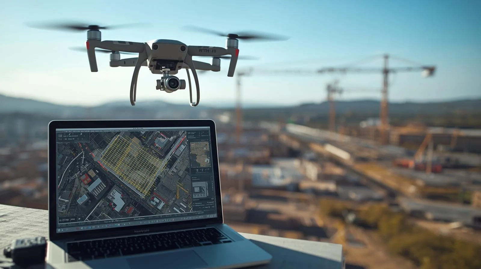
BIM is increasingly moving beyond the design office and directly into the construction site. In this article, we show how, by integrating BIM (IFC) models with drone and AI data in SkySnap, you can compare the design with the actual state of the work, control the progress of the work and build a digital construction site in practice - from the design to the operation stage.
Monitoring construction progress by drone is one of the most effective investment control tools today. In this article, we show you how to plan a photogrammetric raid step-by-step, process the data and use it in the SkySnap Portal for progress analysis, design comparisons and BIM. Find out how to work with up-to-date aerial data and make decisions based on the actual status of construction.
Free SkySnap webinar: find out what drone to buy for professional tasks in 2026! - February 3, 2026
Modern construction is transforming in many ways, but one of [...]
An orthophoto map is a type of map that is [...]

We are proud to announce that SkySnap will be present as an exhibitor at the inaugural edition of Drone World Expo, a new event dedicated to drone technologies and unmanned systems. We invite you to visit the SkySnap booth and discuss the practical use of drone data. See you in Warsaw, March 3–5, 2026.

We are proud to announce that SkySnap will be present as an exhibitor at the 11th edition of DroneTech World Meeting - one of the key events dedicated to unmanned and autonomous technologies. DroneTech has been bringing together industry leaders, innovators and practitioners for years, creating a space for knowledge sharing, technology presentations and networking. The 11th edition of the event is another installment of meetings that are really shaping the future of drones. We invite you to visit the SkySnap booth and talk about practical applications of drone data. See you at DroneTech World Meeting - 11th edition.
The development of drone technology has opened up a whole [...]

Drones today provide a huge amount of data useful for construction supervision, inventories and monitoring. However, the usefulness of this data depends directly on its quality and on understanding the limitations of measurement methods. During the webinar, we explain the difference between precision and accuracy, what elements affect the results of photogrammetric measurements, and how to interpret and validate portal and report data. We will show practical examples comparing surveyor's measurements with results from drone studies, and present best practices and procedures to guarantee acceptable results in engineering work.
Introduction to 3D modeling of buildings from drones Recent years [...]
Surveying plays a key role in the modern world. Thanks [...]
Nowadays, drone technology is being used in more and more [...]
When we think of drones, we usually imagine a toy [...]
Free SkySnap webinar: learn how to perform a photogrammetric raid with a small drone - January 8, 2026

Digital twin at every stage of the investment process - for existing and planned infrastructure. During the webinar, we will show how SCAN-to-BIM technology together with AI solutions integrate the investment process: from precise bidding, to automatic generation of BIM models, to image analysis used for monitoring the progress of work and infrastructure maintenance. We will present practical implementations and an end-to-end demonstration using SkySnap tools.

Free SkySnap webinar: learn how to plan and execute photogrammetric raids, create orthophotos, 3D models and reports. December 2, 2025 - sign up today.
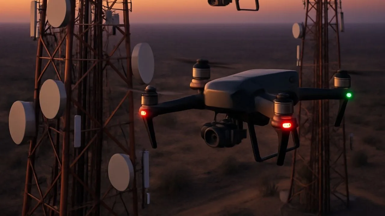
See how drones are improving the inspection of telecommunications infrastructure - faster, safer and cheaper.

Free webinar: integration of SGPR GPR data with orthophotos and 3D models from a drone. Practical applications in construction and geotechnics.
Effective advertising of drone services requires showing real benefits, not just technical parameters. In this article, we discuss how to promote orthophotos, 3D models, construction site monitoring, inspections, land mass analysis and precision agriculture. Learn about target industries, ready-made sales messages and application examples from SkySnap's 13.11 webinar.
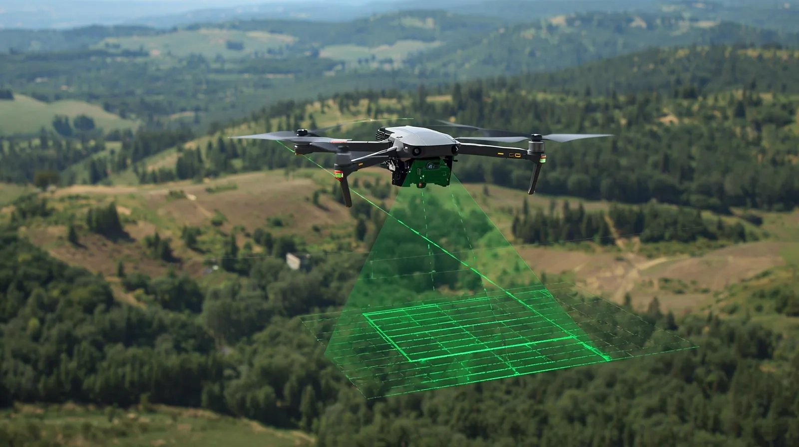
Drones are changing the way we monitor cities, infrastructure and the environment. With their high-speed data collection, autonomy and advanced sensors, they are becoming a key component of modern surveillance. Find out how drones are revolutionizing the future of surveillance and the benefits they offer.
Drones are changing the way surveillance is conducted, from cities to agriculture to infrastructure. Thanks to cutting-edge technology, they offer fast, precise and secure monitoring, opening up new opportunities for many industries.
Discover the best drones for surveillance in 2025. See their applications and choose the perfect model for your needs.
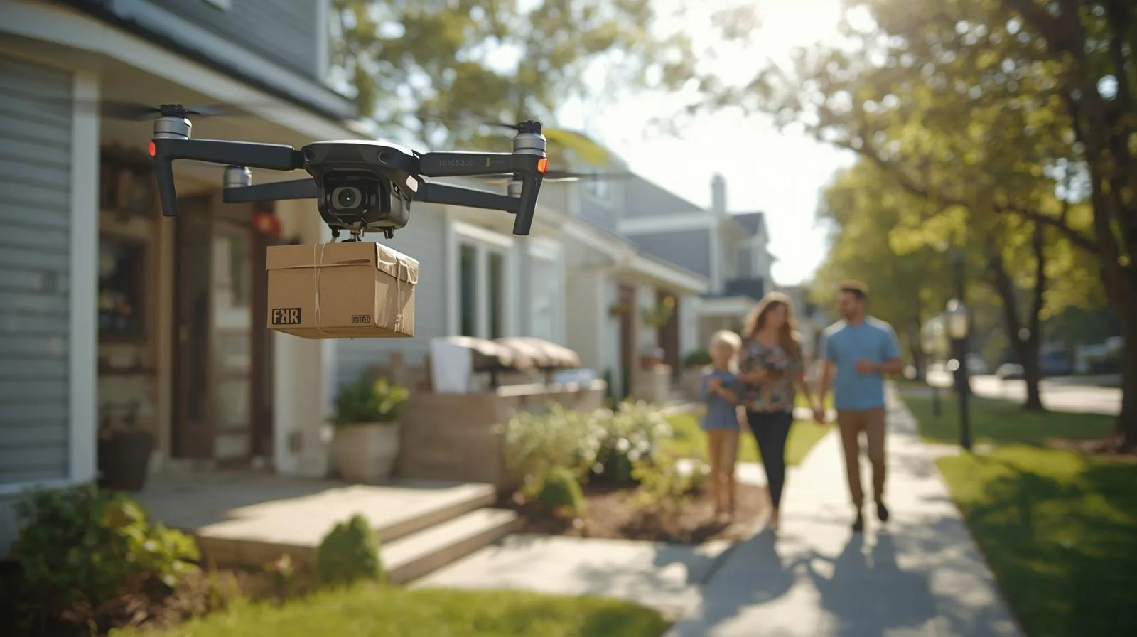
Unmanned aerial vehicles are changing the rules of the game in aviation. Discover how UAV and BVLOS technology is impacting transportation, logistics and the future of the entire industry.
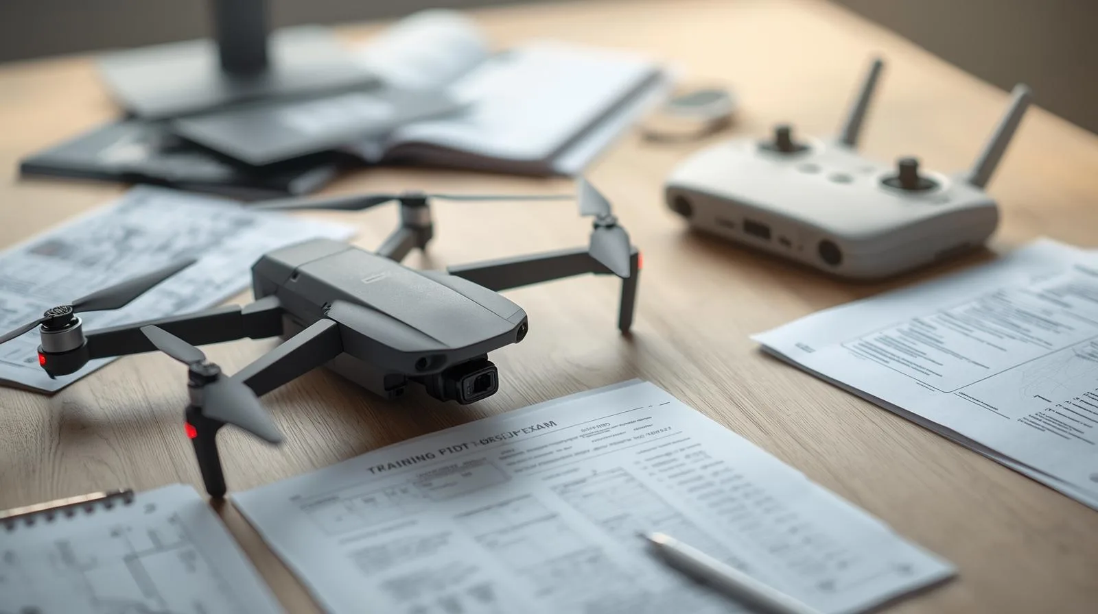
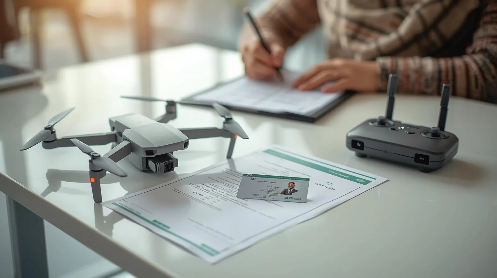
The drone pilot exam is a crucial step for anyone who wants to legally and professionally operate these devices. The certification process involves both theory and practice, so proper preparation is essential for success. In this article, you'll find practical tips for learning, techniques for effective memorization and how to avoid the most common mistakes. You will also learn what skills are worth mastering before the exam and what to do on the day of the test to increase your chances of a positive result.
The drone pilot exam is a crucial step for anyone who wants to legally and professionally operate these devices. The certification process involves both theory and practice, so proper preparation is essential for success. In this article, you'll find practical tips for learning, techniques for effective memorization and how to avoid the most common mistakes. You will also learn what skills are worth mastering before the exam and what to do on the day of the test to increase your chances of a positive result.
The drone pilot exam is a crucial step for anyone who wants to legally and professionally operate these devices. The certification process involves both theory and practice, so proper preparation is essential for success. In this article, you'll find practical tips for learning, techniques for effective memorization and how to avoid the most common mistakes. You will also learn what skills are worth mastering before the exam and what to do on the day of the test to increase your chances of a positive result.
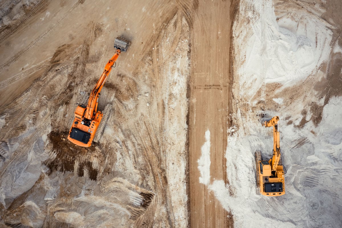
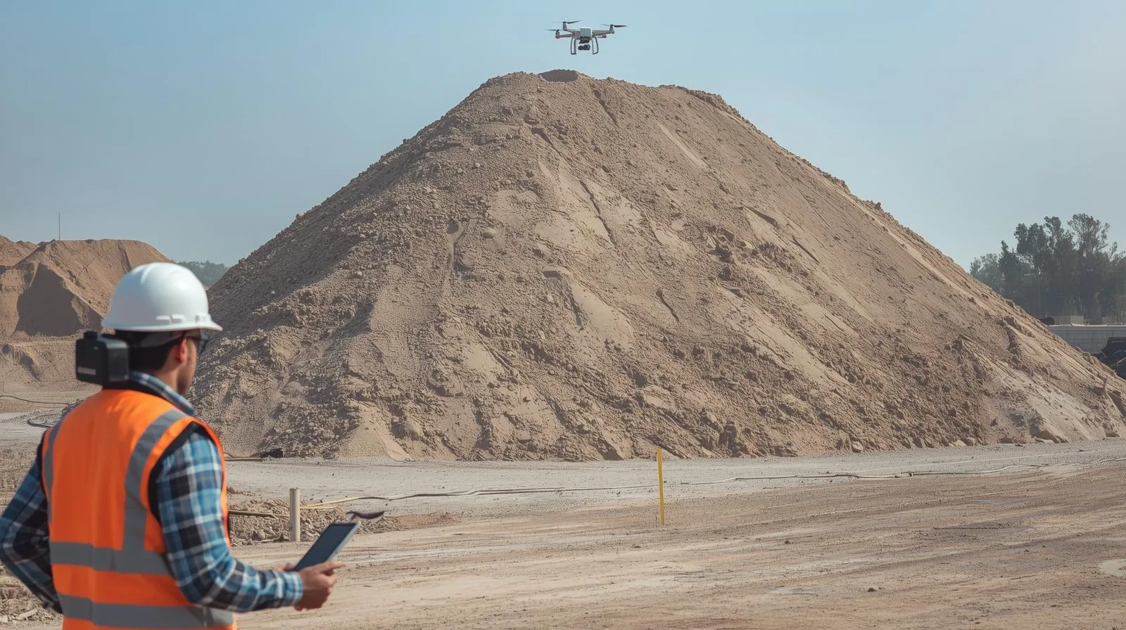
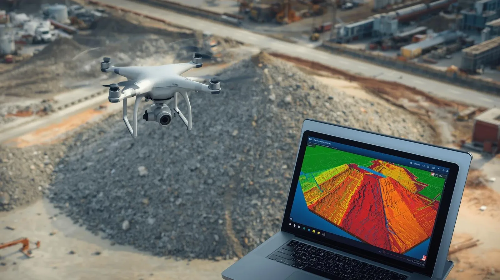
In the construction and investment sector, inspection of earth masses, including heaps, is a key component of project management. Traditional surveying methods are time-consuming, costly and prone to human error. That's why more and more companies are choosing to digitize the process using drone technology and tools such as SkySnap Portal. Up until now, due to the time-consuming and complicated nature of traditional methods, and thus the cost of the service, they have taken place much less frequently than they should. Thanks to new technologies, today it is much easier and more accessible than before.
Find out how drone inspection allows you to assess the condition of roofs and facades quickly, safely and at low cost.

SkySnap webinar 6.11 (11:00-12:00, online): 2D/3D measurements, 360° panoramas, IFC/BIM, project management. Practice + Q&A. Join!
Warsaw, October 17, 2025. - SkySnap has successfully completed the largest project in its 10-year history - a comprehensive inventory of drainage facilities and reclaimed land commissioned by the National Water Management Company Wody Polskie. The project, covering vast agricultural areas in the Lublin Province, was a challenge in terms of scale, logistics, precision and data consistency.
Warsaw, October 20, 2025. - SkySnap, a leader in spatial data analytics, announced the launch of a groundbreaking update to its portal on October 9, 2025, directly addressing the industry's growing needs for data interoperability and advanced 3D visualization. The new features, including full support for 360° panoramas, 3D DXF vector file import and advanced data export to DXF/CSV formats, are designed to fundamentally improve the work of surveyors, general contractors and designers.
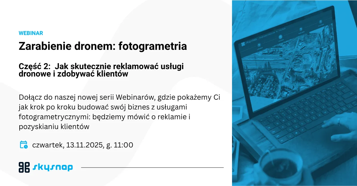
EARNING DRONES: Photogrammetry Episode 2 📸 How to effectively advertise drone services and gain customers 📅 Thursday, November 13 | 🕚 Time: 11:00 | 💻 Format: online
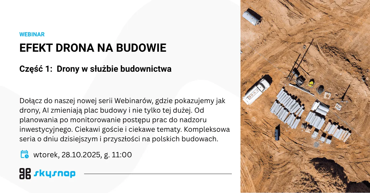
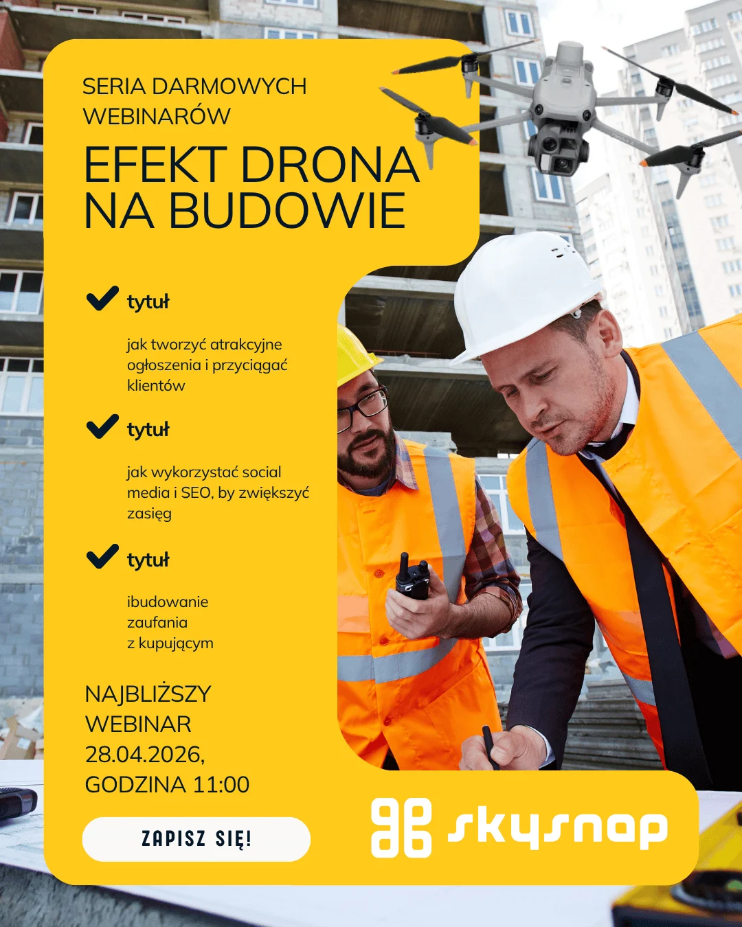
New Series: Drone EFFECT ON CONSTRUCTION 📸 Construction Planning and Monitoring - Drones Not Only on Large Projects 📅 Tuesday, October 28 | 🕚 Time: 11:00 | 💻 Format: online
Warsaw, October 8, 2025. - SkySnap, a leader in geospatial data analysis using drones, is celebrating its 10th anniversary this year. It's a moment to take stock of a decade of intensive development, technological transformation and the collective work of a team that has - literally and figuratively - taken the company to a new level.
Drones have permanently entered the business world - supporting construction, agriculture, energy or property management. But one thing is certain: without proper mission planning, even the best drone will not provide useful data. Inappropriate flight altitude, too little coverage of images or failure to take into account weather conditions can render the material useless. That's why we have prepared for you a practical e-book that explains step by step how to plan flights for photogrammetry and how to avoid common mistakes.
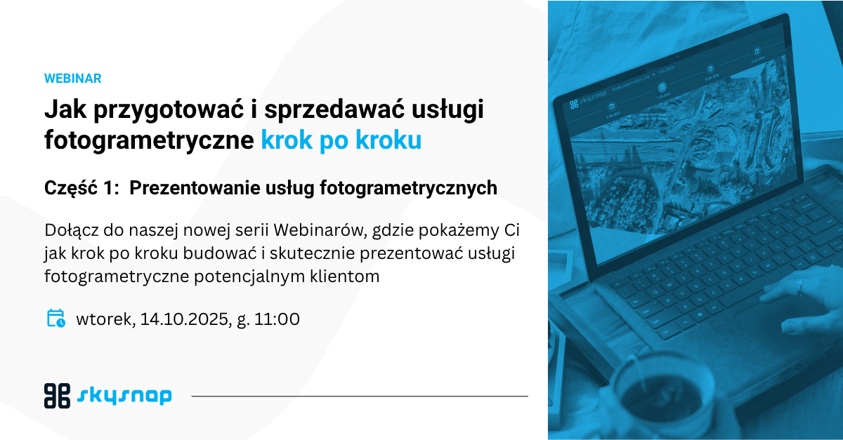
How to prepare and sell photogrammetric services step by step.
Choosing the right drone is a crucial step for any operator planning to carry out photogrammetric tasks. Even the best software or data processing (such as SkySnap) will not ensure quality if the source data - the images - are not taken with the right equipment.
In this article, we provide recommendations from SkySnap experts, backed by practical experience from projects in construction, agriculture and field inventory.
The increasing number of UAV operators means that competition in the photogrammetric industry is growing every month. Whether you offer orthophotos, roof inspections or heap volume calculations, how you communicate your offerings and reach the right customers is crucial. SkySnap's E-book "Service Examples and Marketing and Sales Tools" helps drone and surveying companies not only sell more effectively, but also understand the language of the customer and select the right promotional channels.
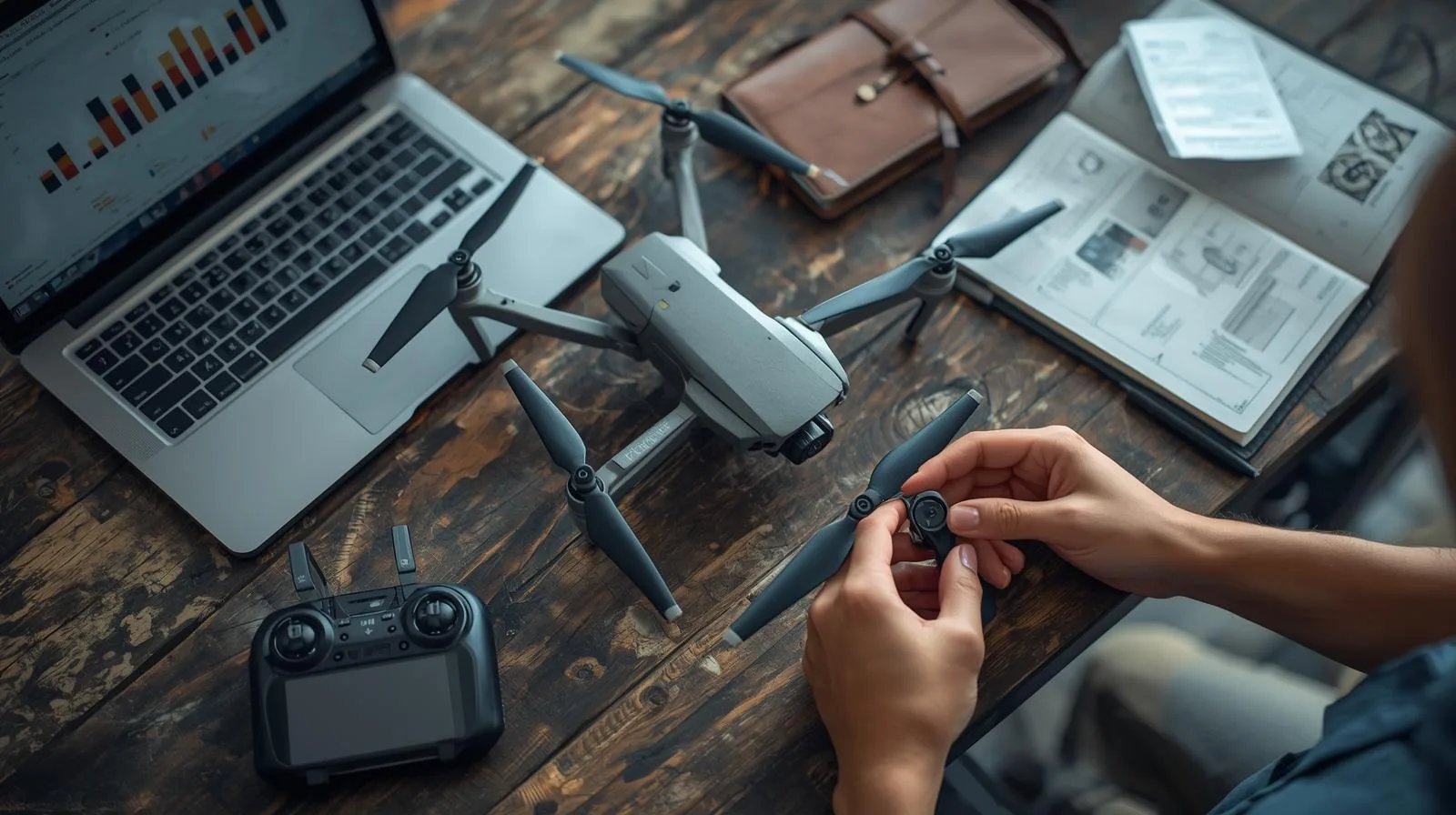
How to price photogrammetry services from a drone? Learn about factors affecting pricing, examples of billing models and download SkySnap's free e-book on pricing drone services. Keywords: drone services pricing, photogrammetry pricing, drone pricing, photogrammetry pricing, drone services calculator, SkySnap.
If you're just getting started with photogrammetry, you've probably come across abbreviations and terms that sound technical: RTK, PPK, GSD, LIDAR, DSM, DTM... In this article, we explain what they really mean - and which ones are worth knowing if you want to professionally monetize your drone data. Because a good knowledge of the basics will allow you to understand your customers' needs, choose the right equipment and create higher value-added services.
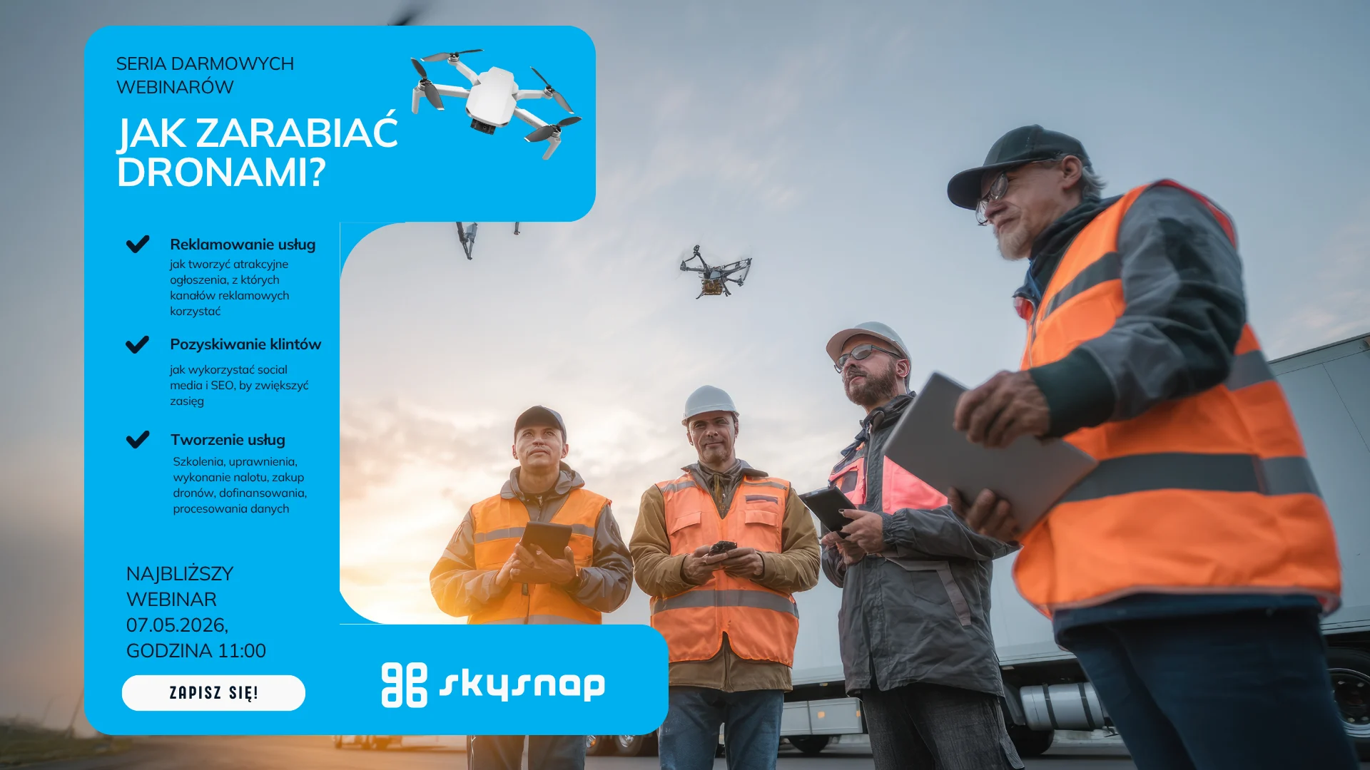
Learn how to make money from drones through photogrammetry. Check out the business potential in construction, surveying and agriculture. See what services you can offer today.
Learn a simple surveying dictionary: as-built map, base map, boundary erection, plot division, drone orthomosaic and many other terms. Practical definitions, application examples and help with formalities.
Learn how to properly plan a drone mission for a linear construction site and a 3D model of a roof. We compare principles, techniques and the most common mistakes.
Drone × Mission × Processing - the three pillars of accurate terrain mapping Orthophotomap is one of the most accurate terrain mapping available to construction, surveying and agricultural companies. It is created from photos taken from a drone, which are then processed in specialized photogrammetric software. But what exactly determines its quality?
Learn how to fit a drone raid into a geodetic layout: GCP, RTK, PPK, CRS and quality control. Step-by-step guide + checklists.
Drones in logistics enable accurate volume monitoring and better management of warehouse space.

Warsaw,September 15, 2025 - SkySnap, a leading provider of photogrammetric solutions, announces the release of a new version of its platform, SkySnap Portal. The update introduces a number of innovations that increase the precision of measurements, make it easier to work in 2D and 3D views, and expand the tool's accessibility with support for an additional language - German.
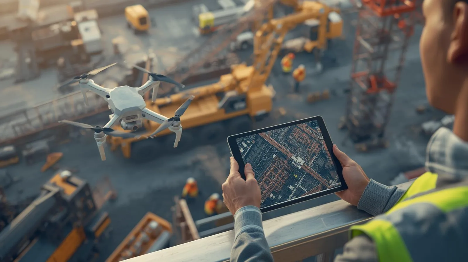
The SkySnap portal supports general contractors and investors with 3D visualization and ongoing monitoring of investments.
Planning a drone mission is the first and most important step if you want to obtain data that is suitable for photogrammetry. Even the best equipment and software won't guarantee high-quality orthophotos or 3D models if the raid is conducted haphazardly. That's why this guide was created to show you step-by-step how to prepare flights - both over linear developments and when creating models of buildings or roofs.
See how drones are revolutionizing heap measurements, offering greater accuracy and safety than traditional methods.

In the age of digitization of all kinds of information, [...]
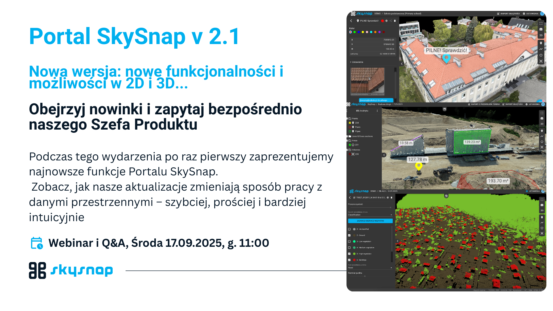
See how our updates are changing the way you work with spatial data - faster, simpler and more intuitive.
We are proud to announce that SkySnap will be present at the tenth anniversary edition of DroneTech World Meeting, which will be held on October 28-30, 2025 at Torun Plaza and Jordanki Cultural and Convention Center. This is a unique event that has been bringing together leaders and enthusiasts of unmanned technology from around the world for a decade - and this year is a double celebration for us, as SkySnap is also celebrating its 10th anniversary! 🎉
Automated reports and heap volume analysis enable accurate monitoring of materials in mining and logistics.
Check out how SkySnap Portal 2.0 allows you to detect changes and analyze progress in one place.
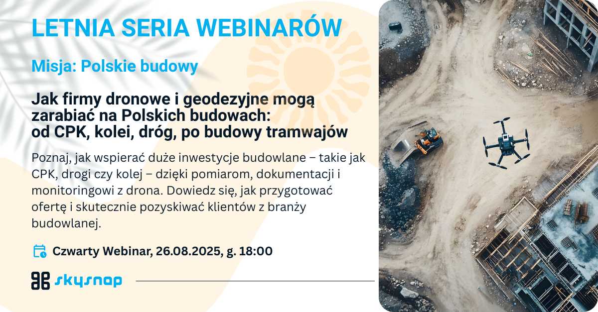
Learn how to support major construction projects - such as CPK, roads and railroads - with measurement, documentation and monitoring from a drone. Learn how to prepare a bid and effectively attract construction clients.
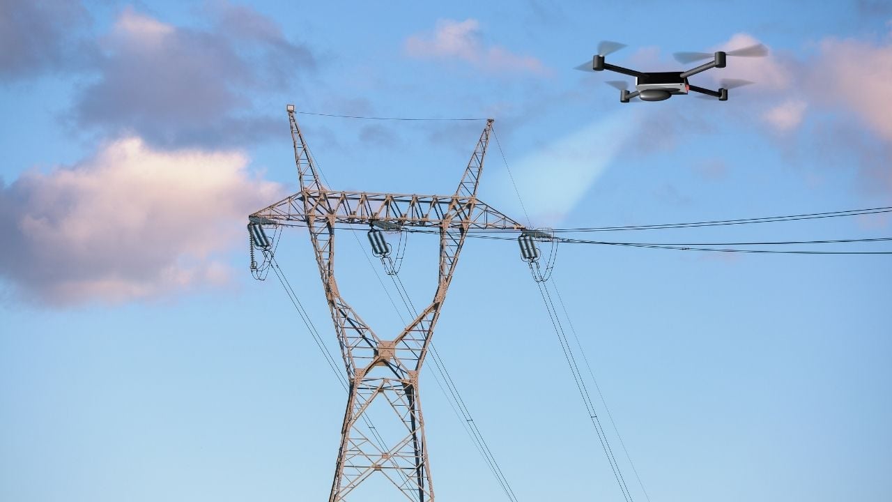
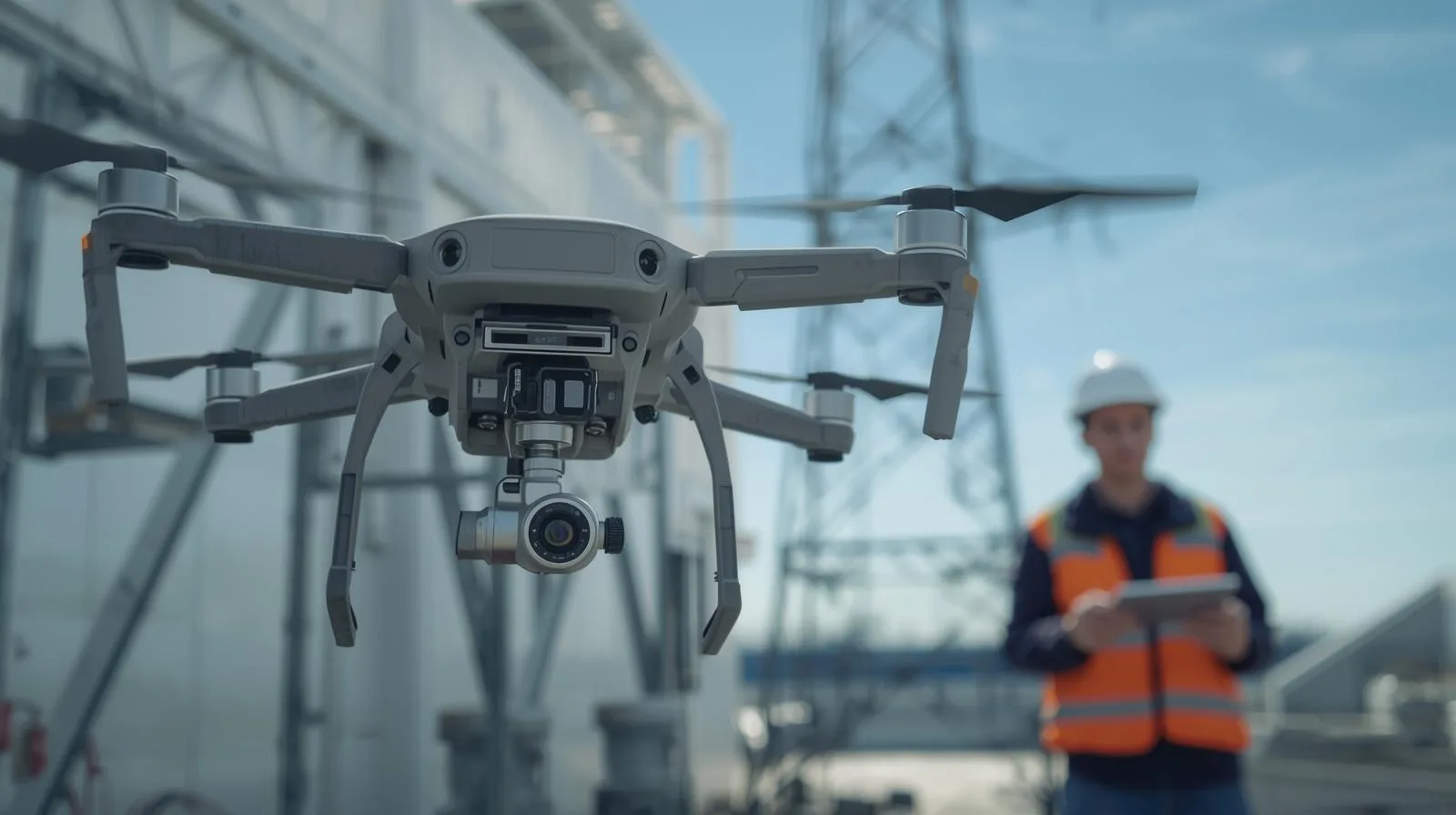
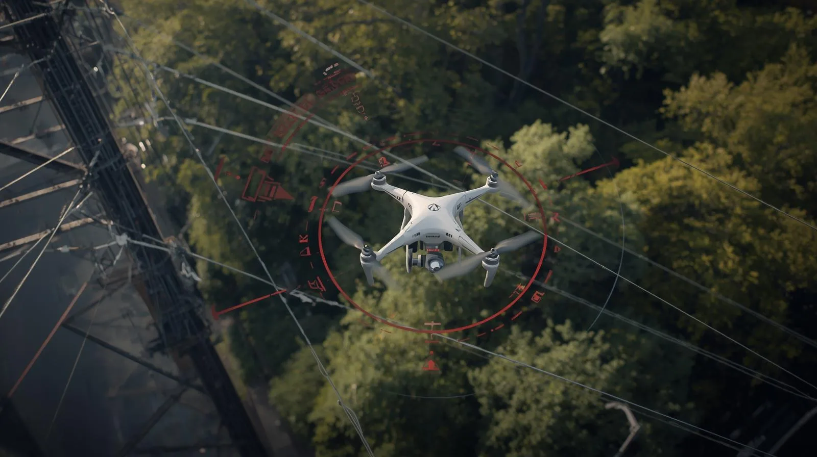
Inspection of power lines using drones allows for faster, safer and more accurate monitoring of infrastructure.
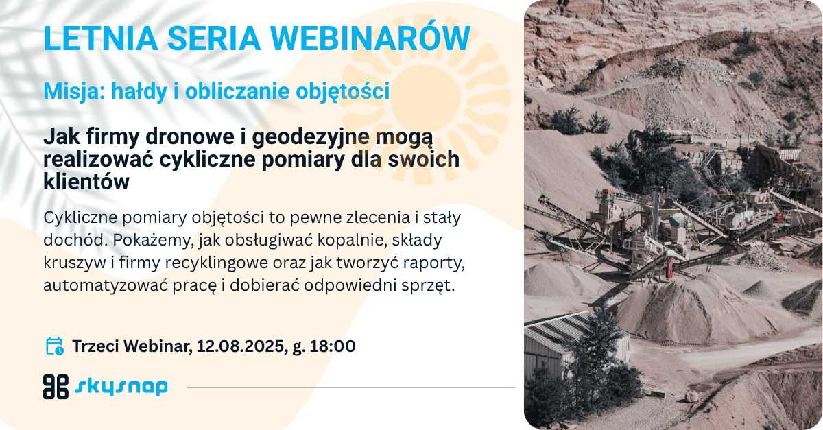
On August 12, 2025, a webinar was held on modern heap measurement and volume calculation methods using drones. Pawel Wojcik of SkySnap and Kamil Kaczorowski of Colidrone showed how UAV technology is changing the mining, construction and recycling industries, offering greater precision, faster turnaround times and higher job safety. They talked about the dynamic development of the drone market in the last decade - from the first DJI and Flytech models to advanced surveying systems - and how they have gained the trust of customers through efficiency and data quality.
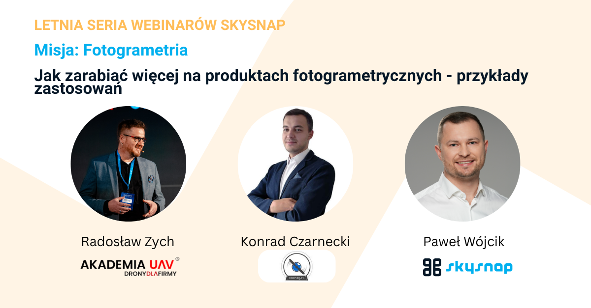
Join our summer webinar series to learn how to really start monetizing your drone and geospatial data. Instead of flying aimlessly - learn about specific monetization paths and proven operating models.

Join our summer webinar series to learn how to really start monetizing your drone and geospatial data. Instead of flying aimlessly - learn about specific monetization paths and proven operating models.
In the construction and investment sector, inspection of earth masses, including heaps, is a key component of project management. Traditional surveying methods are time-consuming, costly and prone to human error. That's why more and more companies are choosing to digitize the process using drone technology and tools such as SkySnap Portal. Up until now, due to the time-consuming and complicated nature of traditional methods, and thus the cost of the service, they have taken place much less frequently than they should. Thanks to new technologies, today it is much easier and more accessible than before.
Wondering how to save time and money when inspecting bulk material dumps? Traditional measurement methods often take days and are prone to error. See how, with the SkySnap Portal, construction companies can perform fast, accurate and frequent heap volume calculations at a fraction of the cost to date.
Discover how a subscription model in drone services - modeled after giants like Netflix - can transform an operator's offering. In this step-by-step guide, we'll show how to use the SkySnap platform to create compelling subscription packages, automate mission processes and build a loyal customer base.
Drones have gained immense popularity in recent years, and their use in various fields continues to expand. One area that particularly benefits from this technology is surveying, where drones are revolutionizing laser scanning. They make it possible to collect field data quickly and accurately, which significantly affects the efficiency and accuracy of surveys. In this article, we will take a look at how drones are changing the approach to laser scanning, what benefits they bring, and what challenges surveyors may face when using this modern technology. So let's explore how these flying devices are transforming traditional methods of working in this field.
Do you own a drone and are wondering how to make money from it? Or are you already performing commercial flights, but want to expand your offerings to more profitable services? If so, you might be interested in heap counting - a service that opens up new opportunities for cooperation with the mining, construction or recycling industries.
Many drone operators provide services on a one-time basis. Meanwhile, services such as heap counting, monitoring of construction projects or cyclical inspection flights offer the possibility of steady income in a subscription model. But how to collect regular payments, issue invoices and automate the process - especially if you operate in Poland? Read our guide and learn an easy way to implement professional billing with the Stripe platform.
Discover how drones can revolutionize inspections in the engineering industry. Learn about the best solutions and their applications.
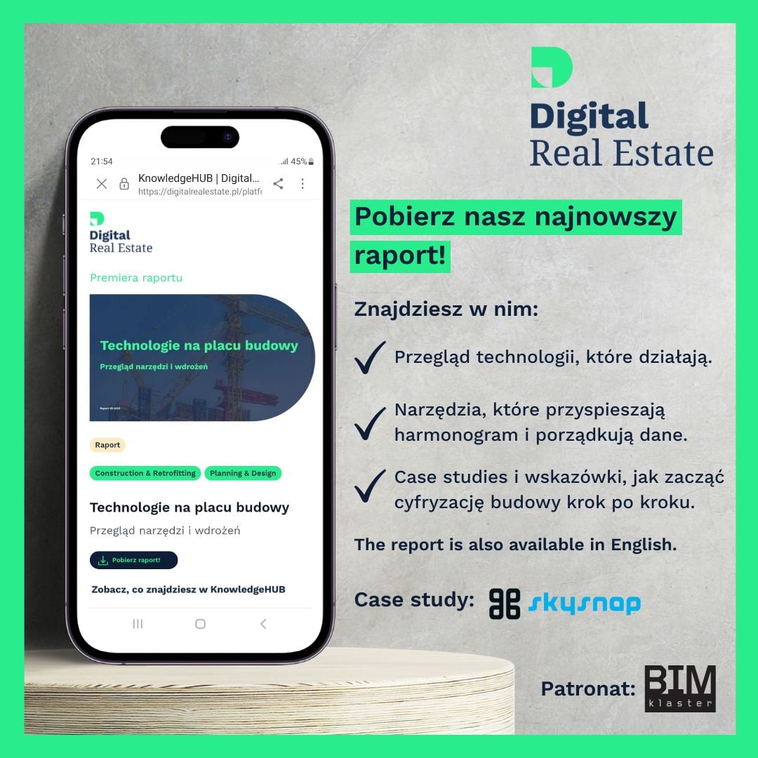
We are pleased to announce that SkySnap was among the technology companies invited to participate in the latest "Technology on the Construction Site" report compiled by Digital Real Estate. The publication is an independent overview of tools that realistically support construction processes - from planning to execution to operation.
The profession of drone operator is gaining ground. Find out how to start a career in drone inspection and what steps are worth taking.

Drones are changing inspection - faster, safer and more precise. See how they support infrastructure monitoring.
Drones in surveying are a breakthrough - faster, cheaper and more accurate land surveys. Check out how they work and what they offer.
Create maps for design purposes faster and more precisely with drones. Check out our step-by-step guide!
Prepare for your drone exam like a pro! Learn effective tips and pass the first time without stress.
Explore user reviews of the latest 2025 drones. See which model to choose and what to look for before buying.
Learn proven tips on how to take great photos with a drone. From flight planning to editing, a guide for every photographer.
Wondering which drone to buy? Find out what to look for and choose the perfect model for your needs. A guide for everyone!
Drones are revolutionizing situational surveying - faster, more precise and safer. Learn about modern methods and their applications.
Filming 3D with a drone opens up a new dimension of video creation - capturing depth and realism unavailable in traditional shots. Learn how 3D technology works, what equipment you'll need, and how to harness the potential of a drone for 3D filming.
In today's fast-paced world, technology is constantly redefining the limits of human capabilities, and one of the most fascinating tools in this revolution is drones. These unmanned aerial vehicles have revolutionized the way we take measurements, offering unprecedented precision and efficiency.
From agriculture to construction to surveying and environmental protection, drones are not only speeding up processes, but increasing the accuracy of the data they collect.
Today, technology plays a key role in optimizing business processes, and one of the latest trends is the use of drones in inventory management. As companies strive to increase operational efficiency, drones are becoming an invaluable tool to quickly and accurately monitor inventory. With remote control capabilities and advanced camera systems, drones can reduce inventory time and minimize the risk of human error. In this article, we will look at how this modern technology is changing the approach to traditional inventory management, offering new perspectives on efficiency and savings.
Drone flying is gaining popularity for both recreational and professional applications. However, a key aspect that every drone operator should keep in mind is weather conditions, which can significantly affect flight safety and efficiency. Variable weather, including high winds, rainfall or fog, can pose serious challenges to drone stability and navigation. In this article, we'll take a look at how various weather phenomena can affect the performance of these modern devices, as well as what precautions can be taken to minimize the risks associated with harsh weather conditions. We invite you to discover the secrets of safe flying in all weather conditions.
In today's fast-paced world of technology, the construction revolution is taking on a whole new dimension thanks to advanced drones. These high-tech devices are becoming an invaluable tool that is changing the rules of the game in the construction industry by introducing innovative survey and monitoring techniques. With the help of drones, it is possible to carry out precise inspections that allow faster detection of potential problems and increase the safety of workers on construction sites. In our article, we take a look at how these flying machines are affecting the efficiency of construction projects, their cost and the way we see the future of construction. We invite you to discover how drones are transforming traditional approaches to construction and project management.
Learn how drones with LiDAR technology are revolutionizing surveying, construction and other industries by offering fast and precise measurements.
Drones are changing the face of surveying, offering fast, precise and safe field measurements. Learn how modern technology is supporting mapping, infrastructure inspection and data analysis in engineering and construction projects.
Learn the 5 key principles of a successful drone inspection - from equipment selection to mission planning to data analysis. Learn how to conduct safe, legal and accurate inspections using UAVs in 2025.
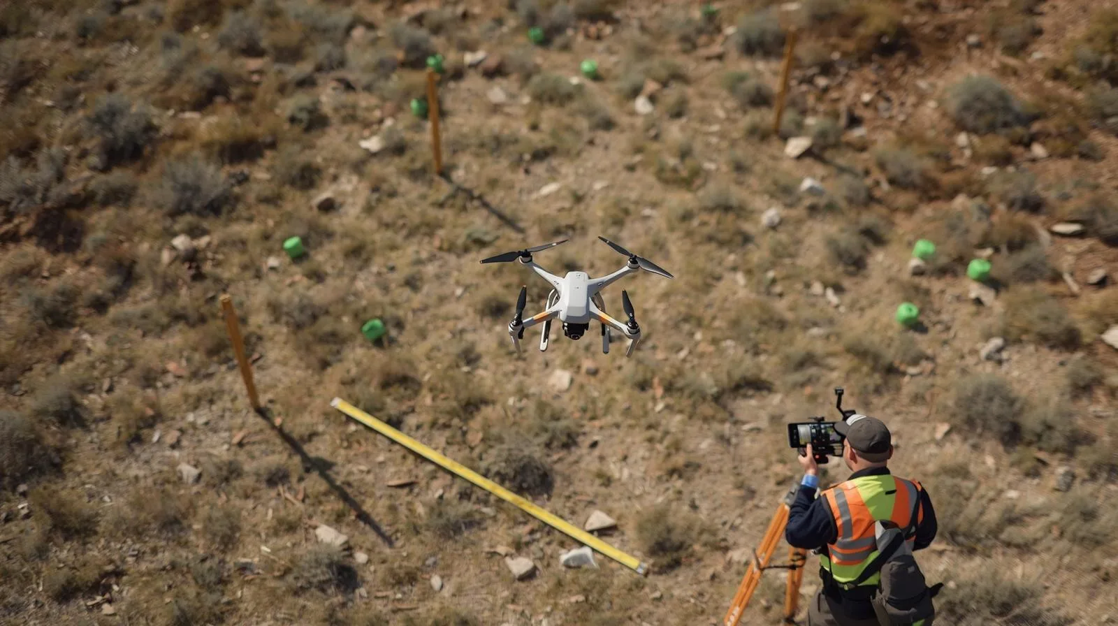
Drones are transforming land surveying, offering speed, precision and access to hard-to-reach places. Learn about the latest technologies, applications in surveying, engineering and environmental protection, and the prospects for their development.
Learn how infrared camera drones work, where they are used and which models are worth choosing. Aerial thermal imaging is the new standard in inspection, rescue, agriculture and industry.
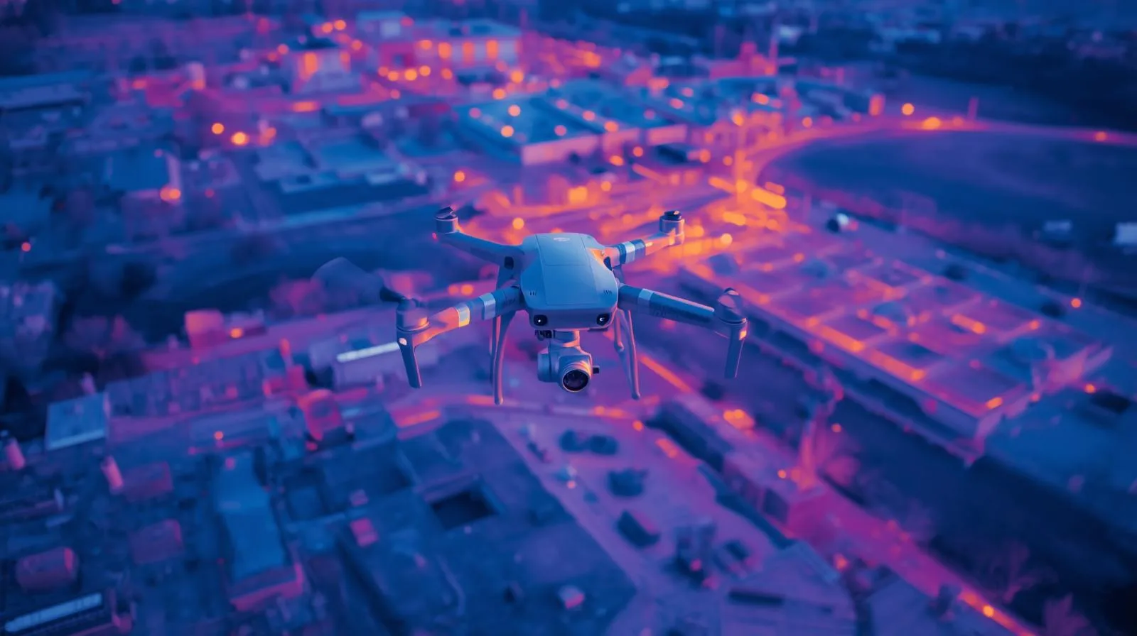
Drones with thermal imaging cameras are revolutionizing industrial inspections. They are helping to detect defects faster, increase safety and reduce costs. Check out how UAVs are changing the approach to thermal data analysis across industries.
Drone design research is revolutionizing construction inspections. Find out how new materials, propulsion and autonomous systems are making UAVs more efficient and precise.
Drones are revolutionizing surveying, reducing the risk of errors and speeding up measurements. Learn how to use UAVs for precise measurements and how to avoid the most common surveying mistakes.
Learn how drones with built-in laser scanners are revolutionizing surveying. Find out what benefits modern technology brings to the industry and how to increase the precision of field measurements.
Discover how drone lidar imagery is changing surveying. Learn how LiDAR technology works, its benefits and why it is becoming a key tool for modern land mapping.
Drones are improving the creation of digital terrain models, offering fast, precise and cost-effective measurements. See how UAVs are supporting surveying, construction and environmental monitoring.
Learn how drones are revolutionizing cartography. Discover new possibilities for creating maps and 3D models - faster, more precise and safer than ever before. Find out how technology is supporting surveyors.
Filming 3D with a drone opens up a new dimension of video creation - capturing depth and realism unavailable in traditional shots. Learn how 3D technology works, what equipment you'll need, and how to harness the potential of a drone for 3D filming.
Filming 3D with a drone opens up a new dimension of video creation - capturing depth and realism unavailable in traditional shots. Learn how 3D technology works, what equipment you'll need, and how to harness the potential of a drone for 3D filming.
In this article, we'll look at the various ways you can make money from drones, providing practical tips and ideas for growing your own business.

Filming 3D with a drone opens up a new dimension of video creation - capturing depth and realism unavailable in traditional shots. Learn how 3D technology works, what equipment you'll need, and how to harness the potential of a drone for 3D filming.
Filming 3D with a drone opens up a new dimension of video creation - capturing depth and realism unavailable in traditional shots. Learn how 3D technology works, what equipment you'll need, and how to harness the potential of a drone for 3D filming.
Filming 3D with a drone opens up a new dimension of video creation - capturing depth and realism unavailable in traditional shots. Learn how 3D technology works, what equipment you'll need, and how to harness the potential of a drone for 3D filming.
Filming 3D with a drone opens up a new dimension of video creation - capturing depth and realism unavailable in traditional shots. Learn how 3D technology works, what equipment you'll need, and how to harness the potential of a drone for 3D filming.
LiDAR technology is opening a new chapter in archaeological research - including in Poland. Thanks to lidar images, it is possible to discover the remains of ancient settlements and structures hidden under dense vegetation, without the need for invasive excavations. The article explains how LiDAR works, what benefits it brings to archaeologists and why it is becoming an indispensable tool in modern exploration of the past.

Warsaw, April 4, 2025, SkySnap, in cooperation with rabies control services, has developed a set of geospatial data to enable precise planning of vaccine discharges. The project covered the three provinces of Mazowieckie, Lubelskie and Świętokrzyskie.
Warsaw, April 10, 2025, Modern technologies in the service of urban security.
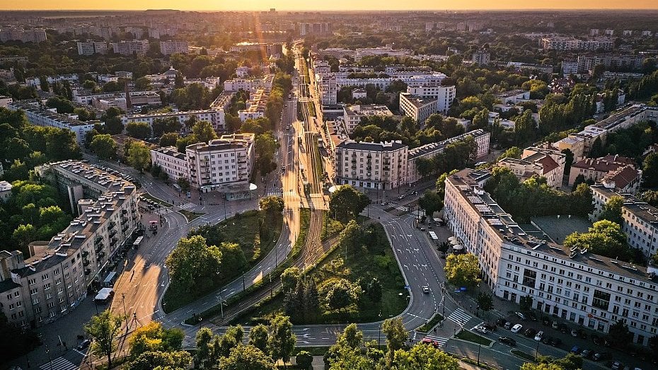
Wilson Square, located in the heart of Warsaw's Żoliborz district, is one of the most characteristic intersections of the capital - both spatially and functionally. Every day this place connects different forms of transportation: pedestrians, cyclists, cars, city buses and streetcars. Due to its complex traffic layout and intense traffic volume, Wilson Square poses a significant challenge from the point of view of safety and organization of road space. In response to these needs, the Warsaw City Roads Authority commissioned a comprehensive traffic safety analysis of the location. The study was carried out by SkySnap, in cooperation with the TOR Economic Advisory Group. The analysis was carried out using the proprietary, innovative PROBRD service, which is based on drone technology and artificial intelligence algorithms.
LiDAR technology is opening a new chapter in archaeological research - including in Poland. Thanks to lidar images, it is possible to discover the remains of ancient settlements and structures hidden under dense vegetation, without the need for invasive excavations. The article explains how LiDAR works, what benefits it brings to archaeologists and why it is becoming an indispensable tool in modern exploration of the past.
Accuracy in surveying is not a luxury, but a necessity. Accurate measurements are the foundation for safe construction, effective urban planning and sustainable urban development. Learn how modern technologies are affecting the quality of surveying data.
Accuracy in surveying is not a luxury, but a necessity. Accurate measurements are the foundation for safe construction, effective urban planning and sustainable urban development. Learn how modern technologies are affecting the quality of surveying data.
Filming 3D with a drone opens up a new dimension of video creation - capturing depth and realism unavailable in traditional shots. Learn how 3D technology works, what equipment you'll need, and how to harness the potential of a drone for 3D filming.
Filming 3D with a drone opens up a new dimension of video creation - capturing depth and realism unavailable in traditional shots. Learn how 3D technology works, what equipment you'll need, and how to harness the potential of a drone for 3D filming.
LiDAR technology is opening a new chapter in archaeological research - including in Poland. Thanks to lidar images, it is possible to discover the remains of ancient settlements and structures hidden under dense vegetation, without the need for invasive excavations. The article explains how LiDAR works, what benefits it brings to archaeologists and why it is becoming an indispensable tool in modern exploration of the past.
Filming 3D with a drone opens up a new dimension of video creation - capturing depth and realism unavailable in traditional shots. Learn how 3D technology works, what equipment you'll need, and how to harness the potential of a drone for 3D filming.
Warsaw, 2025 - SkySnap has been selected to carry out a key project for the Central Communication Port (CPK). Under the contract, SkySnap will develop a digital orthophotomap and 3D models for the areas located in the municipalities of Baranów, Teresin, Wiskitki and Grodzisk Mazowiecki. The project is an important part of preparations for the construction of a new airport and associated infrastructure.
3D photogrammetry using drones is a breakthrough in surveying, architecture and urban planning. Learn how precise terrain models are being created, the technologies behind the process and in which industries they are becoming increasingly important.
Accuracy in surveying is not a luxury, but a necessity. Accurate measurements are the foundation for safe construction, effective urban planning and sustainable urban development. Learn how modern technologies are affecting the quality of surveying data.
LiDAR technology is revolutionizing the way we measure and analyze the world around us. From terrain mapping to autonomous vehicles to archaeology, the technology's precision and versatility are making it applicable to a growing number of industries. Learn about the principle of LiDAR, its key components, practical applications and the developments that are shaping the future of this innovative technology.
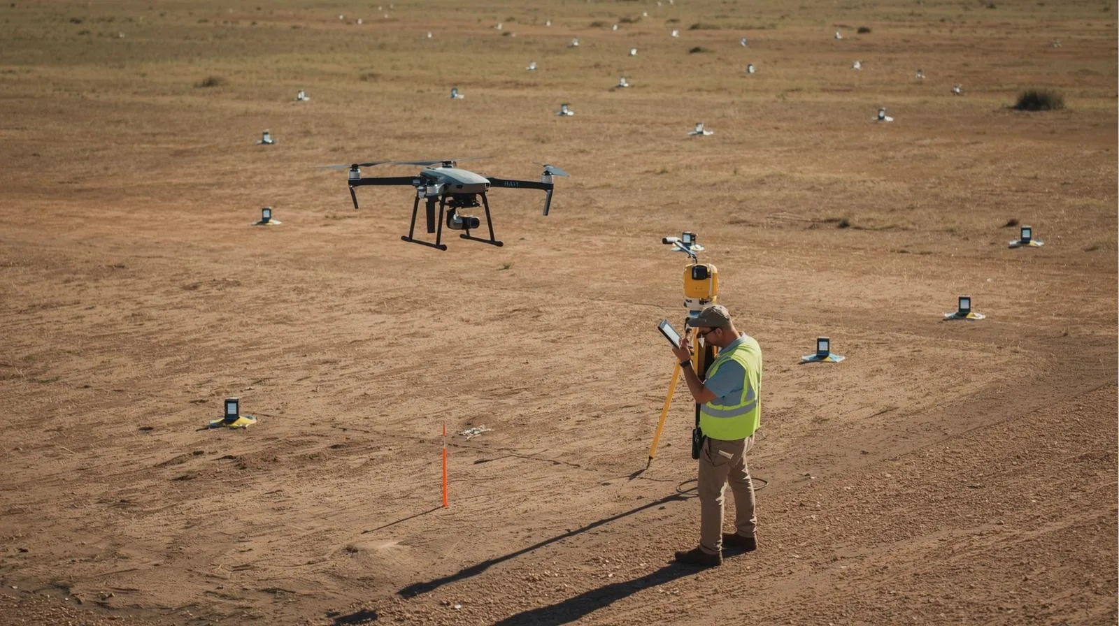
Precision matters - especially in surveying, construction and precision agriculture. The RTK (Real-Time Kinematic) method allows measurements to be taken with centimeter accuracy in real time, making it one of the most important solutions in modern satellite positioning. In this article we explain what RTK technology is, how it works, where it is used and why it is worth investing in its implementation. This is a practical guide for beginners and professionals alike.
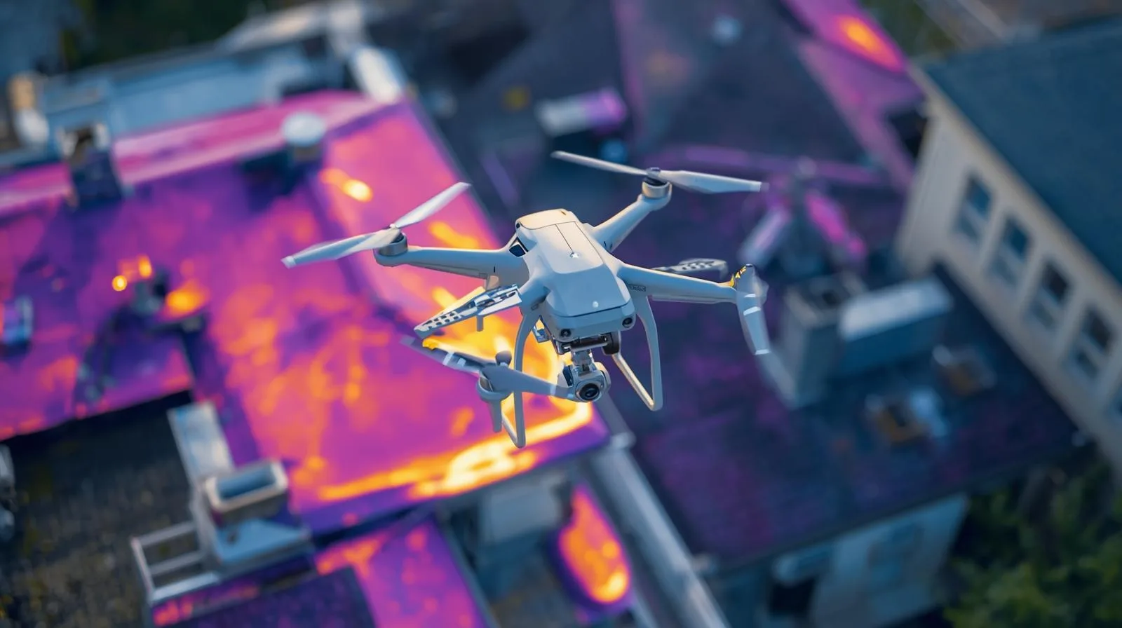
Thermal imaging using drones is a revolution in real-time diagnostics, monitoring and data analysis. It makes it possible to quickly detect leaks, overheating installations or problems in crops - and without the need for large teams or getting into hard-to-reach places. In this article, we explain what thermal imaging technology is, how drone-mounted cameras work, and in which industries it brings the greatest benefits. Learn about the potential of this technology and see how it can improve your business operations.
LiDAR technology is opening a new chapter in archaeological research - including in Poland. Thanks to lidar images, it is possible to discover the remains of ancient settlements and structures hidden under dense vegetation, without the need for invasive excavations. The article explains how LiDAR works, what benefits it brings to archaeologists and why it is becoming an indispensable tool in modern exploration of the past.
Drones with thermal imaging cameras are becoming an invaluable aid in rescue operations, environmental monitoring and technical inspections. Thanks to their ability to detect temperature differences from the air, they make it possible to quickly locate missing people, assess the condition of infrastructure and analyze plant health. In the article, we show how this technology works in practice, what benefits it brings, and why it is increasingly becoming a standard in the work of services and specialists in various industries.

Thermal imaging cameras on drones are not just the future, but already the present of modern operations in rescue, industry and environmental protection. In this article, we discuss how these advanced systems work, what capabilities they offer, and what to consider when choosing equipment for professional applications.
Flying a drone is a fascinating hobby, but it requires knowledge of regulations and safety rules. In this practical guide, you'll find everything a novice drone pilot needs to know - from choosing your first model, to basic maneuvers, to current regulations in Poland. Learn how to fly legally, safely and with pleasure, getting the maximum benefit from this modern technology.
Flying a drone is not only a passion, but also a responsibility. In this guide, we explain how to legally and safely fly a drone in the Polish sky - for beginners and professionals alike. You'll learn about current regulations, registration rules and the most important issues regarding privacy, safety and drone use in various industries.
A drone in a company is not only a modern working tool, but also a real opportunity to optimize business costs. In the article we explain how to correctly account for the purchase of a drone, how an expense differs from a cost, what documents are needed, and what legal and tax regulations apply to entrepreneurs. This is a practical guide for those who want to legally and effectively incorporate a drone into company resources.
Flying a drone may seem like innocent fun, but ignorance of regulations can result in severe penalties. In this article, we outline the most common reasons for fines, current regulations, financial consequences and practical ways to avoid problems. Learn how to fly legally, safely and knowingly so you don't risk confiscation of equipment or restrictions in the future.
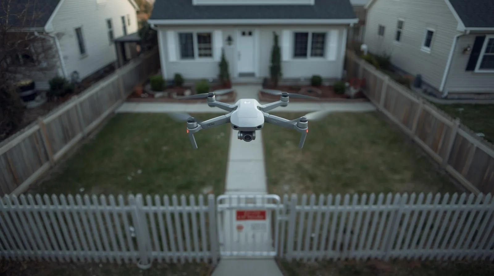
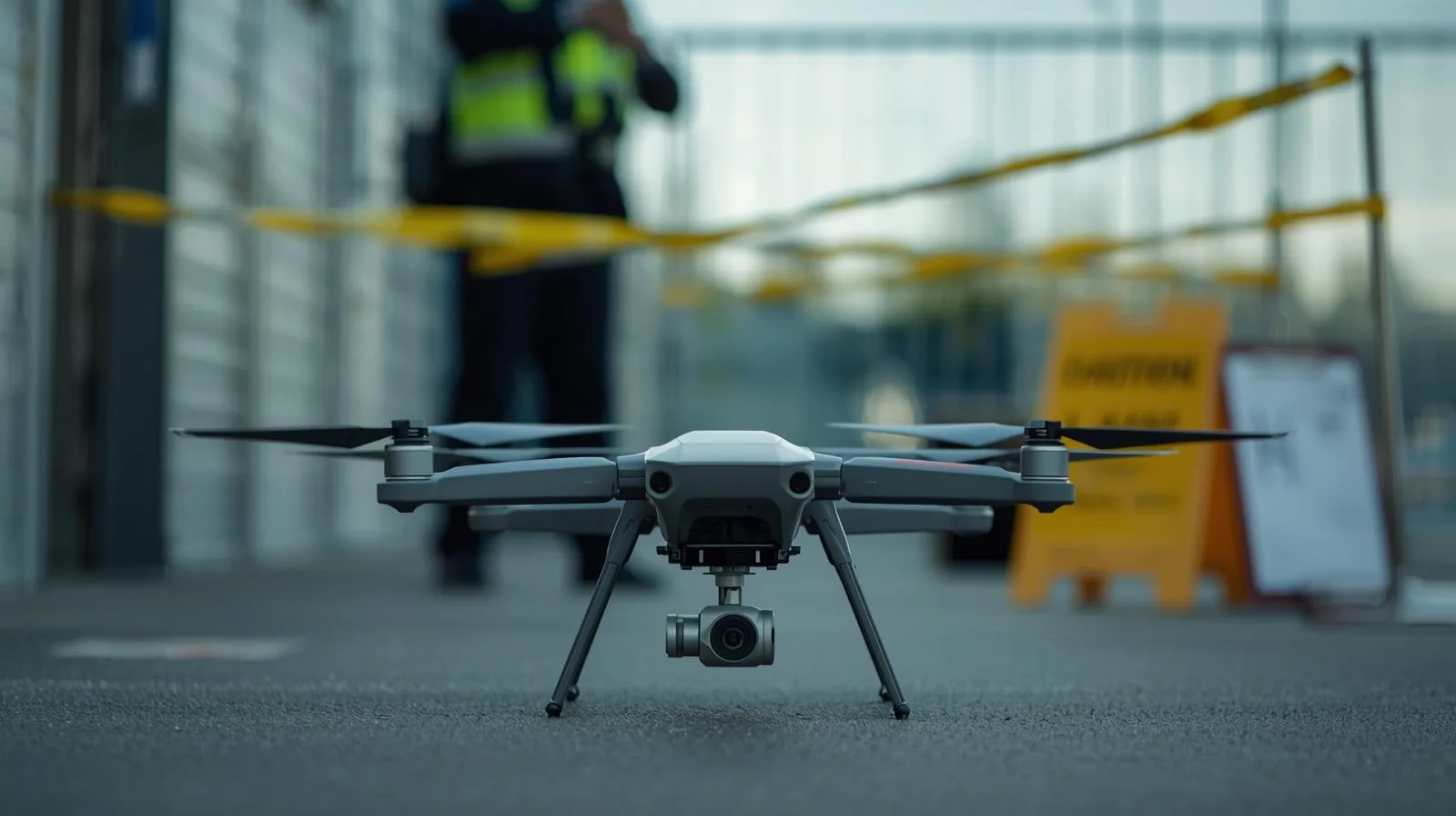
Can someone fly a drone over your land without your permission? This article explains the most important aviation and privacy laws in Poland. You'll learn what your rights are as a property owner, when drone flight requires special permission, and when you can report a violation. We also suggest how to spot a drone and what to do if it appears over your house.
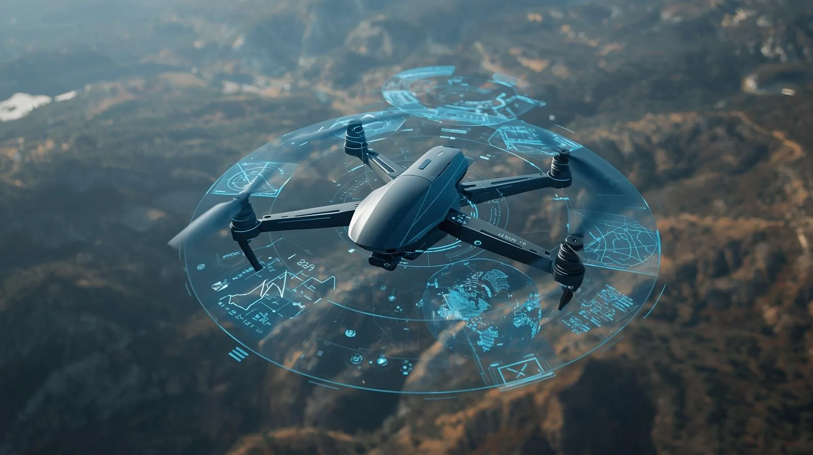
Drone software today is more than just control - it is a comprehensive tool for fleet management, mission planning and real-time data analysis. In this article, we show how cutting-edge technologies such as AI and IoT are revolutionizing the use of drones in industry, rescue and infrastructure monitoring. Learn about the features that are changing the way we work with drones and see what the future of aerial management looks like.
Drones are changing the rules of the game in business. Whether you operate in agriculture, construction or media, professional drone services can significantly increase efficiency, reduce costs and open the door to innovative solutions. In this article, we show you how modern drone technologies support the development of companies and in which industries they are worth implementing.
Drone mapping is one of the most effective tools today for creating accurate terrain models and spatial analysis. In this article, we explain what affects the accuracy of measurements, what technologies are worth using and how to avoid the most common mistakes. This is a guide for anyone who wants to get the most out of drones in practice - regardless of industry.
Technical inspections by drone are revolutionizing the way infrastructure is monitored, improving safety and saving time. In this article, we explain how drones are being used in the construction, energy and environmental sectors. You'll learn about the advantages of this technology, practical applications and challenges to consider when implementing modern inspection solutions.
Lublin,March 12, 2025-SkySnap has signed another contract with the State Water Company Wody Polskie (Polish Waterways) for an inventory of water reclamation facilities and reclaimed land in the area of the Zamosc Water Catchment Board.
This is the second project carried out by SkySnap for Wody Polskie in this regard - the previous contract included an inventory in the area of the Sandomierz Water Catchment Board.
Drones have become an integral part of modern aviation, but can they be formally recognized as aircraft? In this article, we analyze the definitions, regulations and classification of drones under aviation regulations. We also discuss the differences between drones and traditional aircraft, and outline the most important rules of use and required licenses. Find out how the law treats drones and what obligations their operators have.
The gyroscope is one of the most important components of a drone, responsible for its stability and precise control. It allows the device to maintain balance, respond to changes in position and perform smooth maneuvers in flight. In this article, we explain what a gyroscope is, how it works and its use in various drone models. Learn about the key aspects of this technology and why a gyroscope is essential in any modern drone.
A drone's range is one of the most important parameters affecting its functionality. From short-range recreational models to advanced industrial drones covering tens of kilometers, flight distance is influenced by transmission technology, battery capacity, weather conditions and legal regulations. In this article, we discuss the key factors determining drone range and how to optimize it. Learn how to choose a model that suits your needs and how to increase flight efficiency.
How high can a drone fly? This question troubles both amateurs and professionals. Maximum flight altitude is influenced by regulations, technical limitations and atmospheric conditions. In this article, we explain the key factors determining the flight ceiling of drones, discuss current regulations and advise on how to safely use their full capabilities.
Can a drone fly over private property? This question raises many privacy and regulatory concerns. In this article we discuss current regulations, the rights of property owners and the responsibilities of drone operators. Find out what the rules are for flying over private property and how to effectively protect your space from unauthorized flights.
Do you need a permit to fly a drone? Regulations vary from country to country, as well as the purpose of the flight - recreational or commercial. In this article we explain when licenses are required, what the process of obtaining a permit looks like, and what rules apply in Poland. Find out how to fly a drone legally and safely!
Unmanned aerial vehicles (UAVs) are high-tech devices used in military, industry and everyday life. In this article, we explain what UAVs are, their applications and how they affect the development of modern technology. Learn about their history, operation and future!
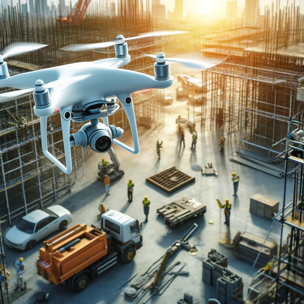
Drones are revolutionizing the construction industry, enabling precise inspections, monitoring the progress of work, and increasing safety on construction sites. In this guide, we discuss how modern drone technologies are impacting the construction sector, the benefits they bring, and the regulations that govern their use.
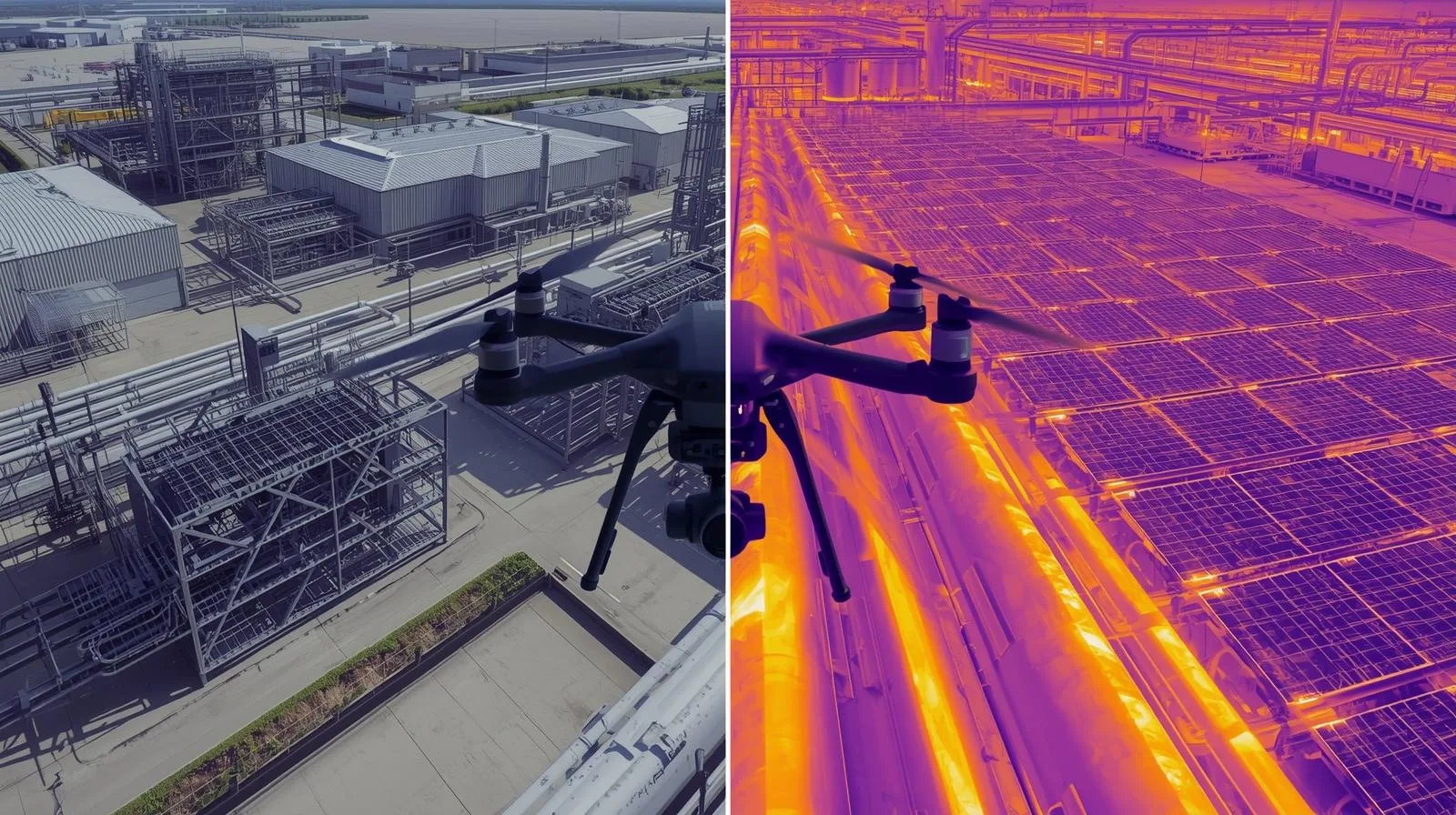
Thermal imaging measurements from a drone are an innovative diagnostic tool used in the construction, energy and environmental fields. Thanks to infrared technology, heat loss, installation damage and other anomalies invisible to the naked eye can be quickly detected. Find out how thermal drone cameras work and their practical applications.
Drones have become an integral part of modern technology - they are used for both recreational and professional purposes. However, before you take to the air, it's worth checking whether you need a drone certification. In this article, we explain what regulations apply to drone operators, when registration is required, and what training and exams you need to pass. Learn about the legal requirements and how to avoid unpleasant consequences by flying under the current regulations.
The drone pilot exam is a crucial step for anyone who wants to legally and professionally operate these devices. The certification process involves both theory and practice, so proper preparation is essential for success. In this article, you'll find practical tips for learning, techniques for effective memorization and how to avoid the most common mistakes. You will also learn what skills are worth mastering before the exam and what to do on the day of the test to increase your chances of a positive result.
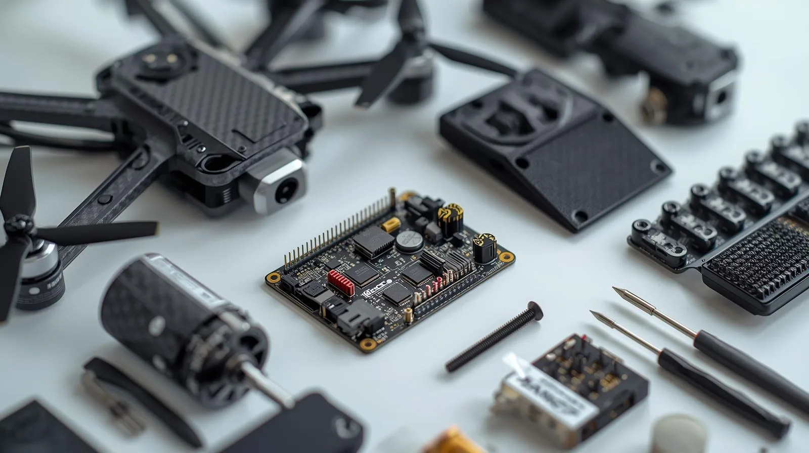
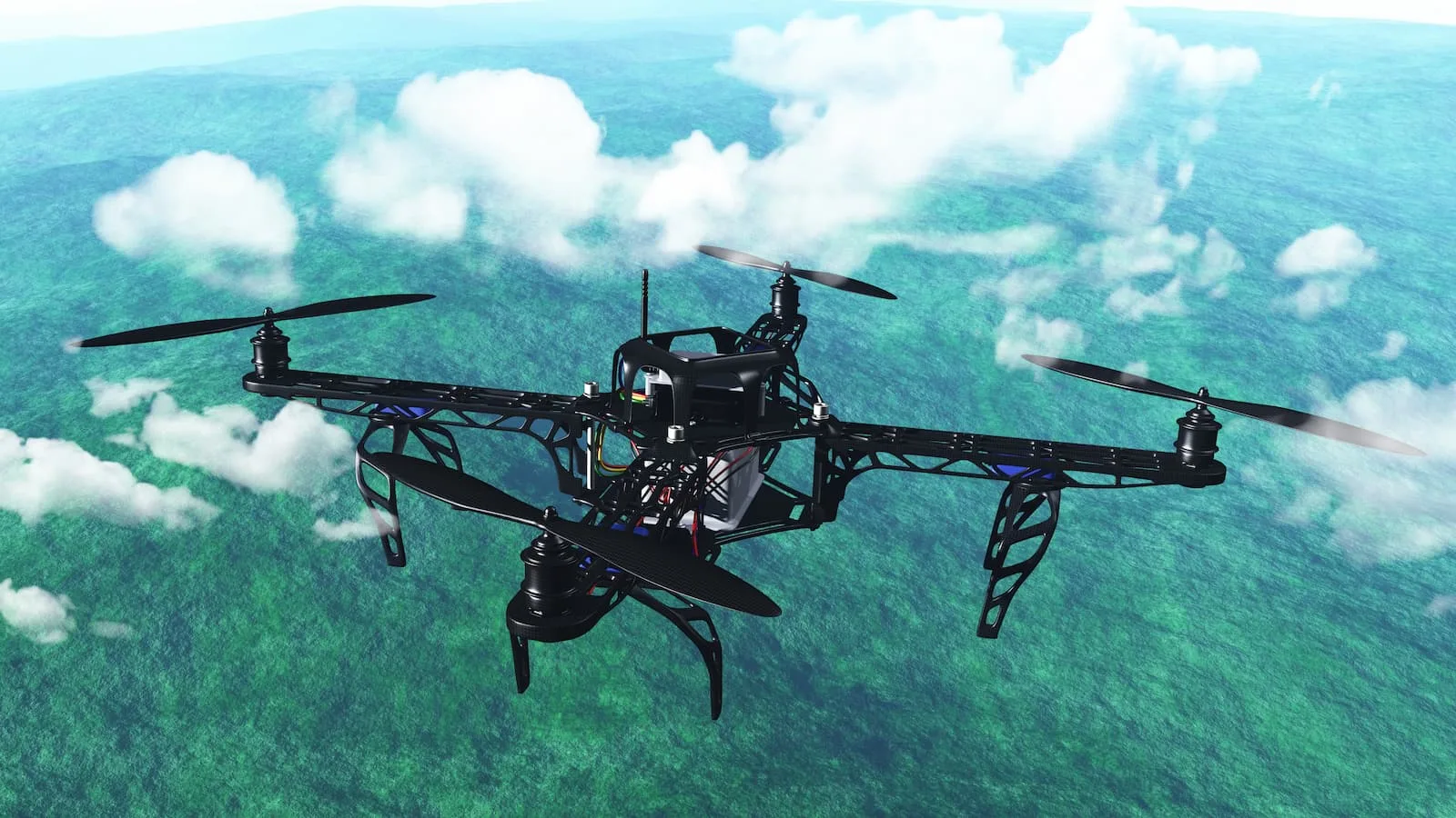
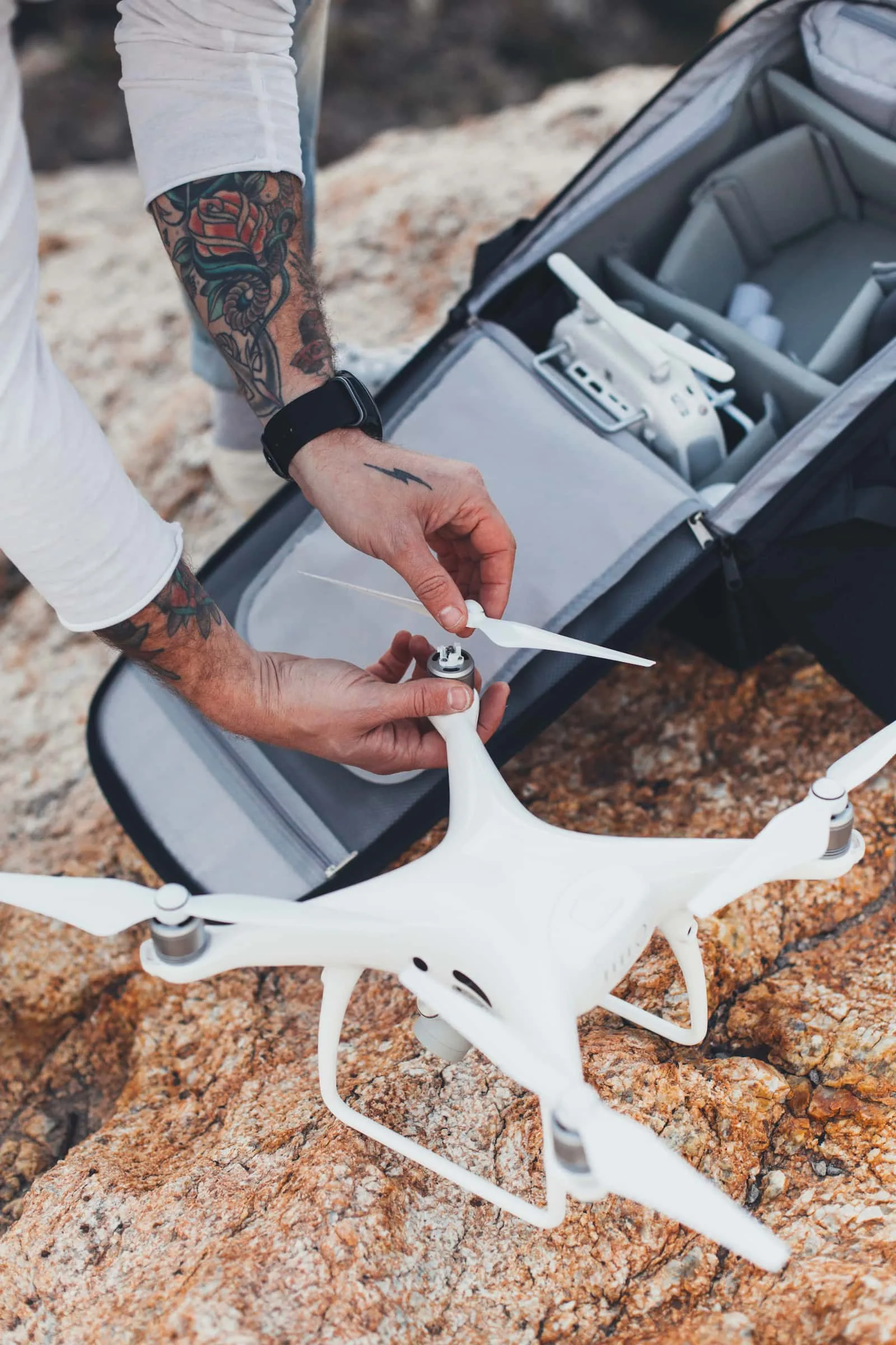
Building your own drone is an exciting challenge that allows you not only to better understand aviation technology, but also to customize the device. Choosing the right components - from the frame and motors to the flight controller - is crucial to the drone's performance and functionality. In this guide, we discuss the most important materials and technologies to consider during construction. You'll learn step-by-step how to assemble and configure your drone for stability, durability and optimal performance.
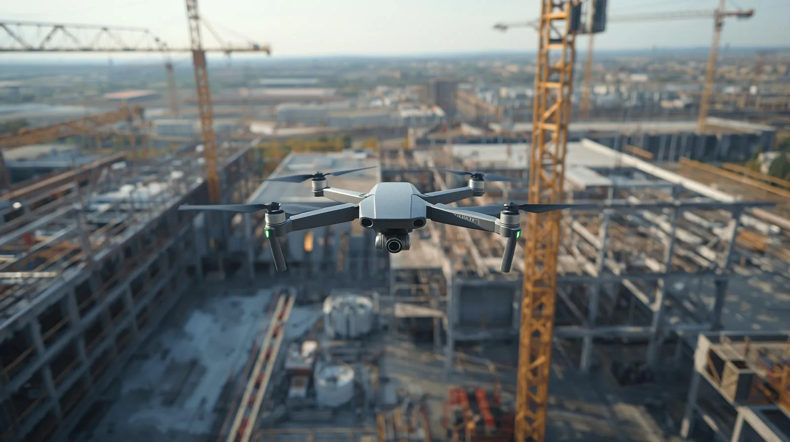
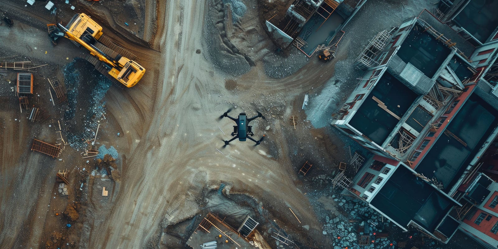
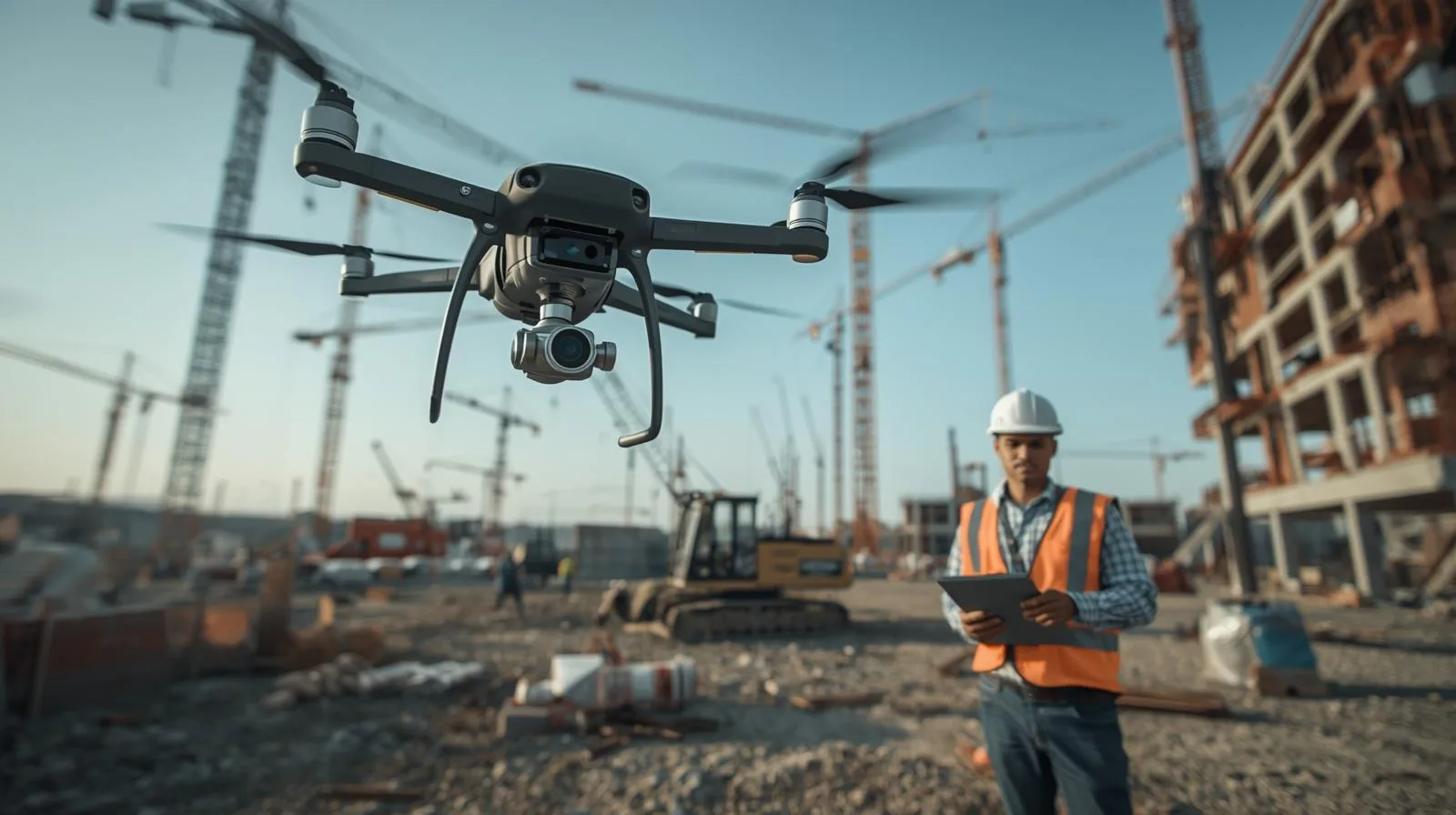
Drones are increasingly becoming an indispensable tool in the construction industry, streamlining progress monitoring, inspections and investment management. With precise site mapping, process automation and quick access to key data, construction companies can reduce costs and minimize the risk of errors. In the article, we look at how drones are revolutionizing the industry, what technologies are currently being used and how they could impact the future of the construction sector.
Orthophotos are a key tool in surveying, construction and urban planning, but their quality and accuracy can be compromised by various errors. Geolocation problems, low image resolution or terrain mapping errors can lead to inaccurate analyses. In this article, we discuss the most common challenges associated with orthophotos and proven methods to successfully resolve them. Learn how to improve data quality, optimize processing, and take full advantage of the potential of orthophotos in your work.
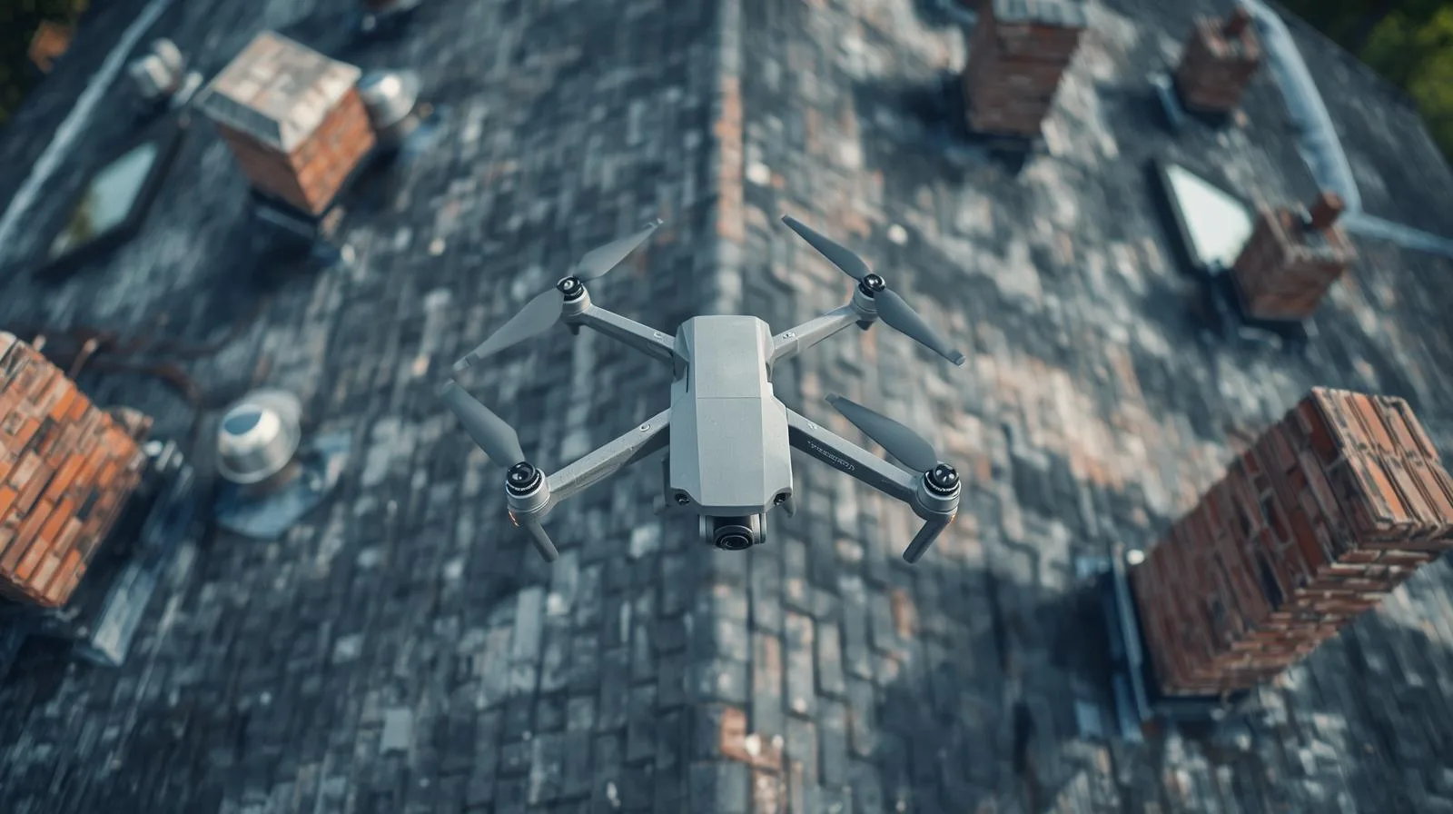
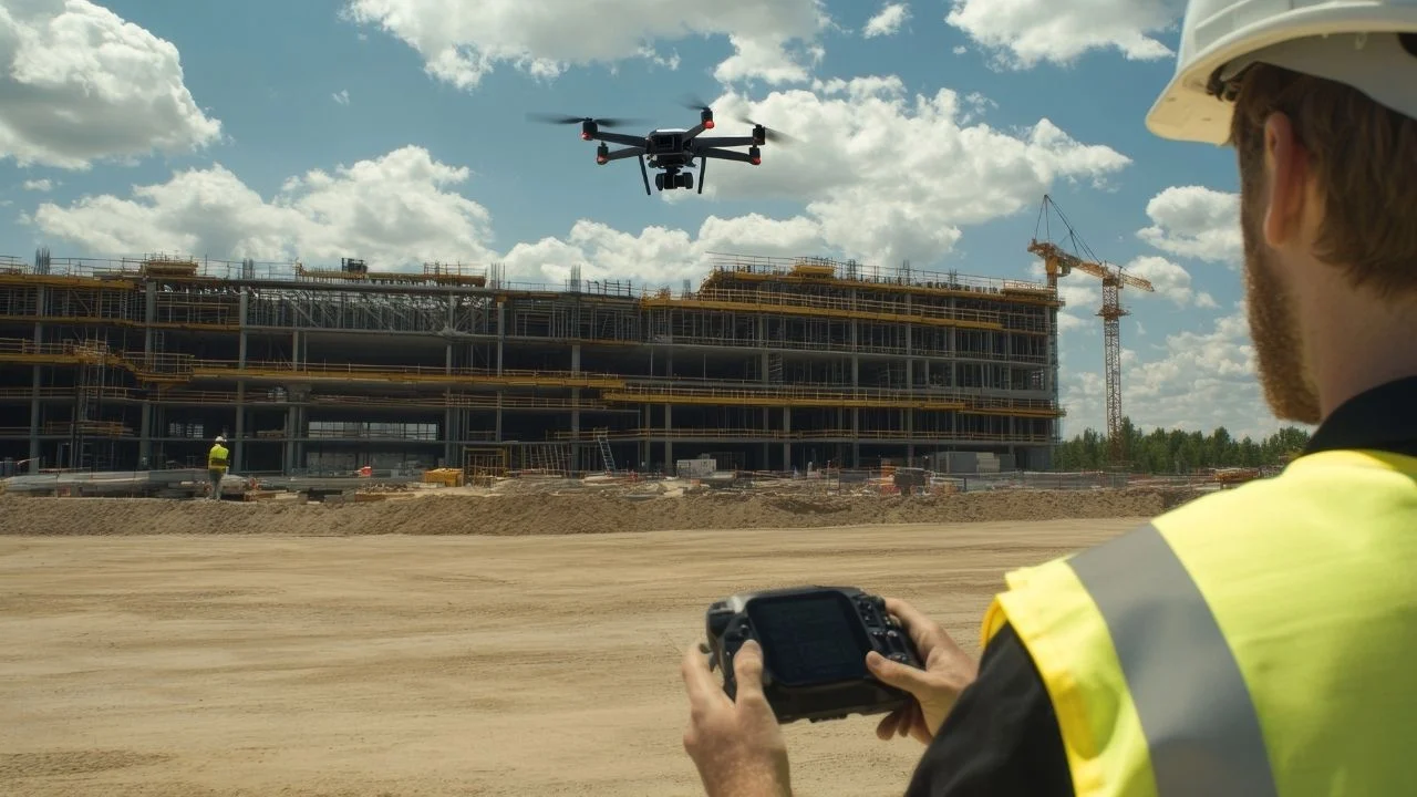
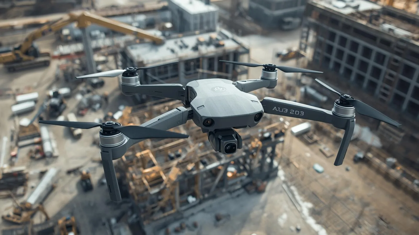
Drones are revolutionizing the construction industry, and their use in roof inspections is a modern and effective solution. Traditional inspection methods require working at height, which entails risks and high costs. With drones, roof inspection becomes safe, fast and precise - high-quality cameras allow detection of damage, assessment of roofing condition and more effective maintenance planning. In this article, we outline the advantages of this technology, its applications, and future possibilities for using drones in property management.
Drones have revolutionized the surveying industry, enabling the rapid and precise collection of terrain data. Drone photogrammetry allows the creation of detailed maps, 3D models and orthophotos, significantly improving surveying and mapping work. In the article, we will discuss how this technology works, what benefits it brings and its main applications. You will learn how to properly perform measurements with a drone and how to avoid the most common mistakes in aerial photogrammetry.
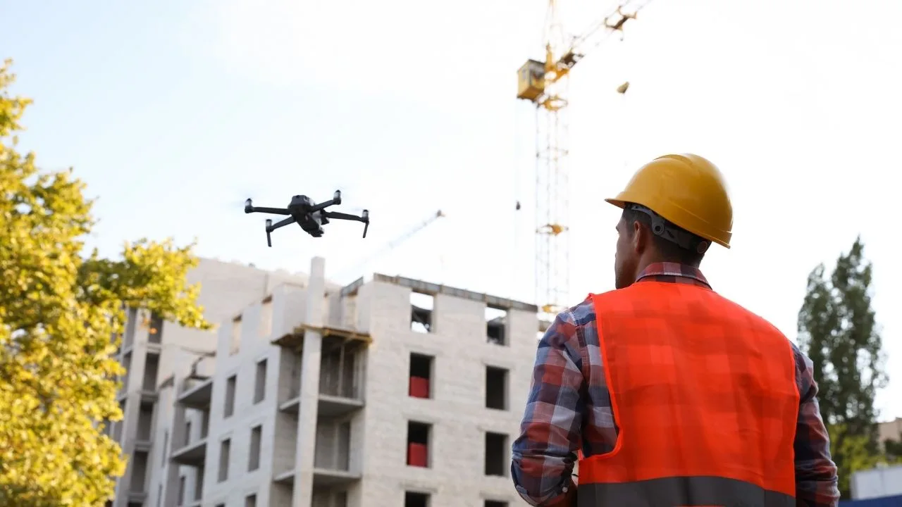
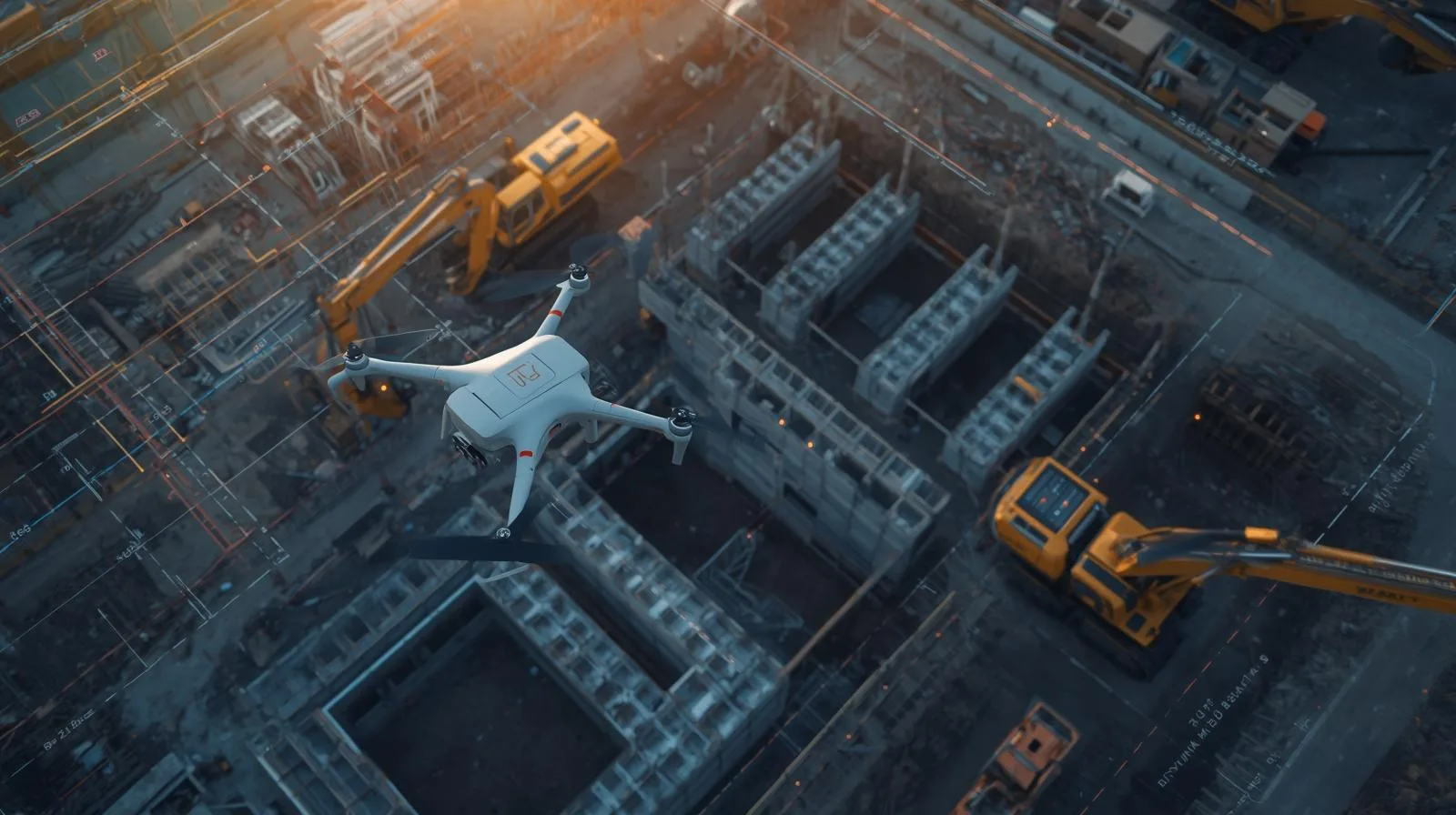
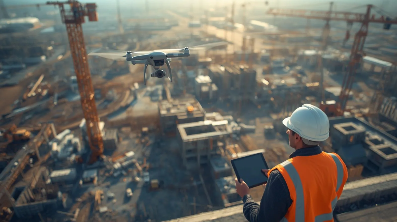
Modern technologies enable precise monitoring of work progress, accurate site mapping and improved safety on construction sites. With drones, investors and engineers can quickly identify potential problems and optimize construction processes. In the article, we look at how aerial filming is revolutionizing the industry and the benefits it brings.
Drones are revolutionizing the construction sector, enabling fast, accurate and safe site surveys and monitoring the progress of work. The use of modern technologies, such as LiDAR and RTK, allows precise mapping and optimization of investment processes. In this article, we analyze the benefits of drones on construction sites, their use in various stages of projects, and their impact on reducing costs and increasing work efficiency.
RTK (Real-Time Kinematic) technology is revolutionizing the way we use drones in agriculture, surveying and other industries requiring precise measurements. It provides accurate real-time data, resulting in greater efficiency and optimized operational costs. In this article, we look at how RTK improves the accuracy of mapping, crop monitoring and spatial analysis, helping farmers and engineers make more accurate decisions.
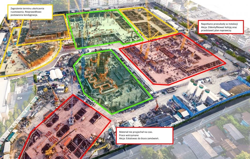
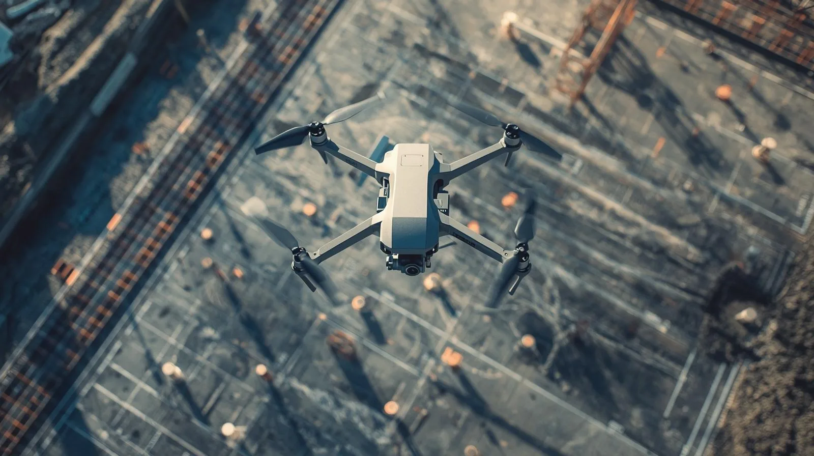
Monitoring construction progress is an essential part of effective project management. Thanks to modern technologies such as drones, image analysis systems and IoT monitoring, it is possible to accurately track work at every stage. In this article, we discuss the key tools, the stages of monitoring implementation and its impact on construction safety and efficiency. Learn how effective monitoring can prevent delays and increase the quality of an ongoing project.

Effective inventory analysis is a key element of efficient logistics and supply chain management. Adequate monitoring and optimization of inventory avoid both shortages of goods and excessive storage costs. Modern technologies, such as ERP systems and process automation, enable precise, real-time inventory management. In this article, we will look at methods, tools and strategies that help companies increase operational efficiency.
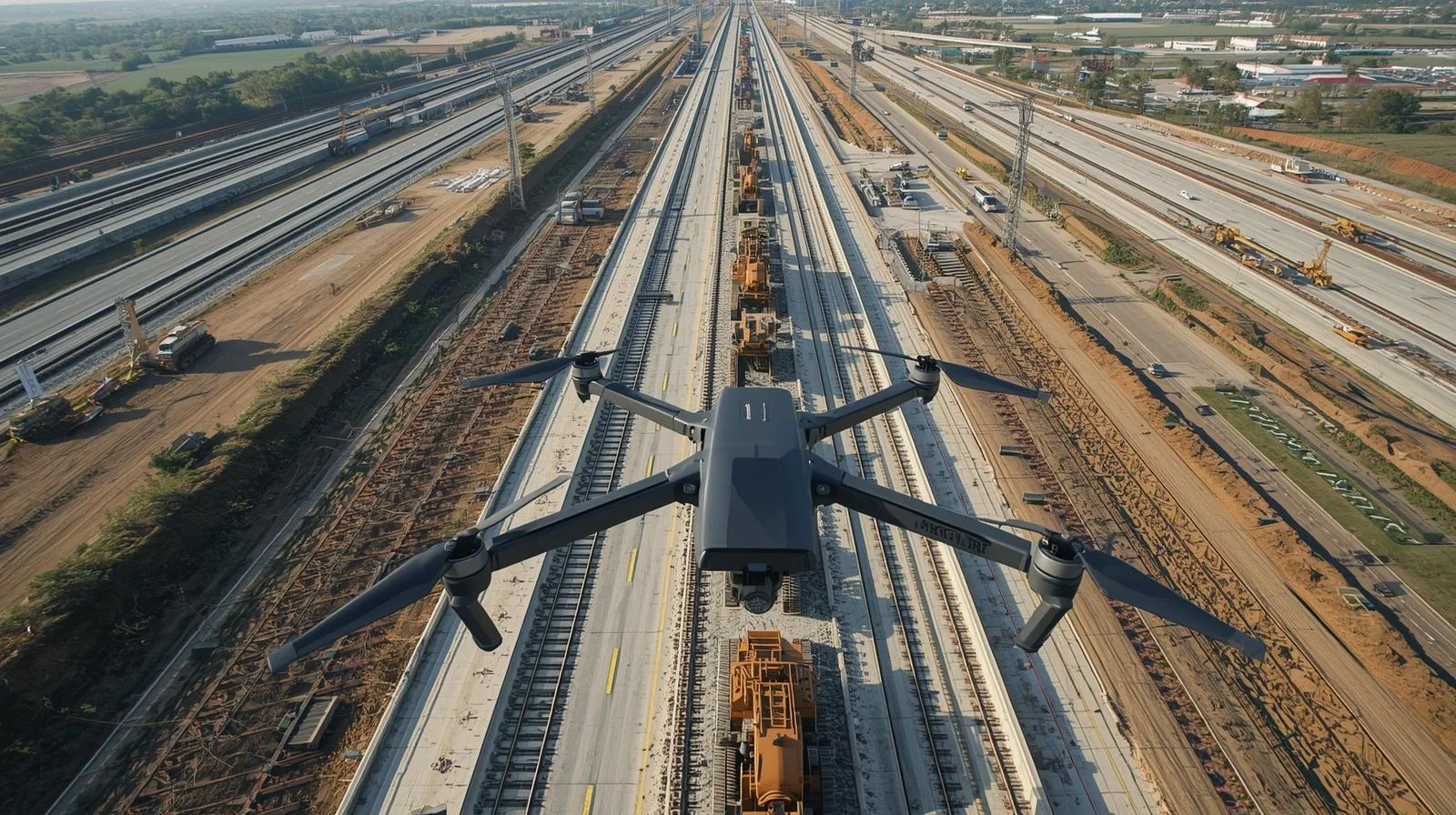
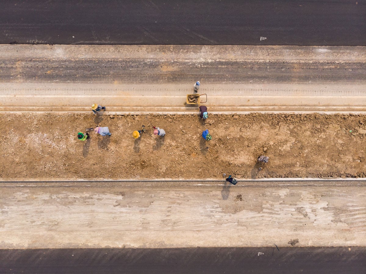
Drones are playing an increasingly important role in linear construction, offering cutting-edge solutions for project monitoring, planning and supervision. With precise terrain mapping and rapid data collection, they can significantly increase the efficiency of infrastructure projects. Their use helps improve safety and reduce operating costs, minimizing the risk of errors and delays. In this article, we take a look at how drone technology is revolutionizing linear construction and the benefits it brings to the industry as a whole.
Modern technologies enable precise monitoring of work progress, accurate site mapping and improved safety on construction sites. With drones, investors and engineers can quickly identify potential problems and optimize construction processes. In the article, we look at how aerial filming is revolutionizing the industry and the benefits it brings.
LiDAR technology from a drone is revolutionizing the way land is mapped and analyzed, providing precise data in less time. Thanks to its ability to scan even hard-to-reach areas, it is widely used in surveying, construction or environmental protection. The use of drones equipped with LiDAR allows to increase the accuracy of measurements and optimize operational costs. In the article, we will look at how this technology is changing the approach to spatial data collection and what benefits it brings to various industries.
Drones are changing the way we create surveying maps, offering faster, more accurate and more efficient surveying methods. Thanks to modern aerial technologies and advanced sensors, they enable precise mapping of terrain even in hard-to-reach areas. The use of drones in surveying allows for significant time and cost savings, while increasing the quality of the data collected. In this article, we will look at how drones are revolutionizing cartography and the benefits they bring to the surveying industry.
Land mapping is a key process in surveying, construction and urban planning, which is becoming increasingly precise and efficient thanks to modern technologies. The use of drones and advanced data analysis systems allows the rapid collection of information from large areas, while minimizing costs and work time. Professional tools, such as photogrammetry and LiDAR, make it possible to create accurate 3D models and analyze terrain structure. In this article, we will discuss the best techniques and tools used in mapping, which help professionals achieve the highest quality and precision of measurements.
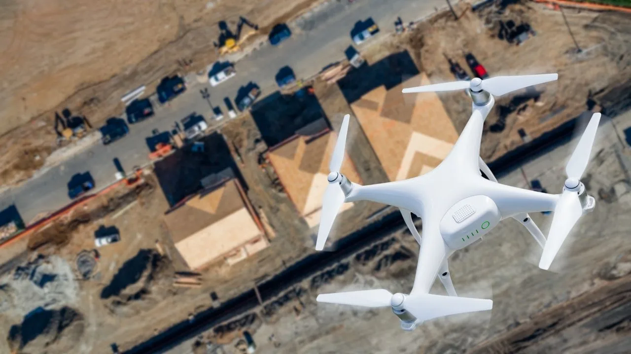
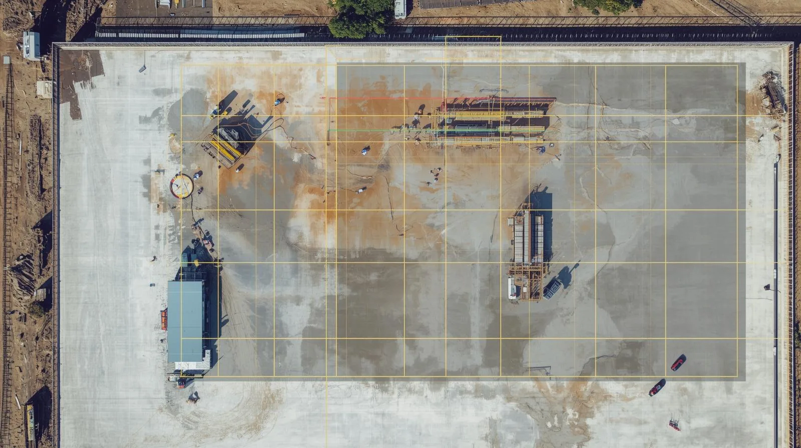
Construction site inventory is a key process that allows for effective project management, cost control and monitoring of work progress. Thanks to modern technologies, such as drones and 3D modeling, it is possible to quickly and accurately collect data on the status of construction. Automating the process increases safety, reduces errors and allows better planning of the next stages of implementation. In this article, we'll take a look at why construction site inventory is essential, and what tools can help make it effective.
Inspections from a drone are becoming an indispensable part of modern construction, enabling quick and precise assessments of structural health. With advanced cameras and sensors, drones allow monitoring of hard-to-reach areas without the need for expensive scaffolding or inspection teams. Their use not only reduces inspection time, but also increases safety and minimizes risks to workers. In this article, we take a look at the best practices and techniques used in drone inspections and their impact on the efficiency and quality of construction processes.
Drones in surveying are a breakthrough technology that significantly increases the precision and efficiency of land surveys. With advanced sensors and high-resolution cameras, they enable rapid mapping of hard-to-reach areas and eliminate the need for time-consuming traditional methods. Their use in surveying translates into time savings, reduced operating costs and improved work safety. In this article, we will look at how to effectively use drones in surveying and which technologies achieve the best results.
Drone flights are becoming an indispensable part of modern construction, enabling fast and precise inspections of construction sites. Thanks to advanced camera and sensor systems, drones make it possible to monitor the progress of work, analyze risks and optimize construction processes. This innovative solution not only increases safety and efficiency, but also reduces operational costs. In this article, we will discuss how drones are revolutionizing construction site inspections and what technologies are maximizing their potential.

Drone flight planning is a key element that determines the safety and effectiveness of a mission. Whether you're using a drone for inspection, mapping or photography, proper preparation helps avoid technical and legal issues. In this guide, we outline the most important principles, tools and strategies to help both beginners and advanced pilots optimize their flights. You'll learn how to analyze weather conditions, use supporting applications and manage risks during flight operations.
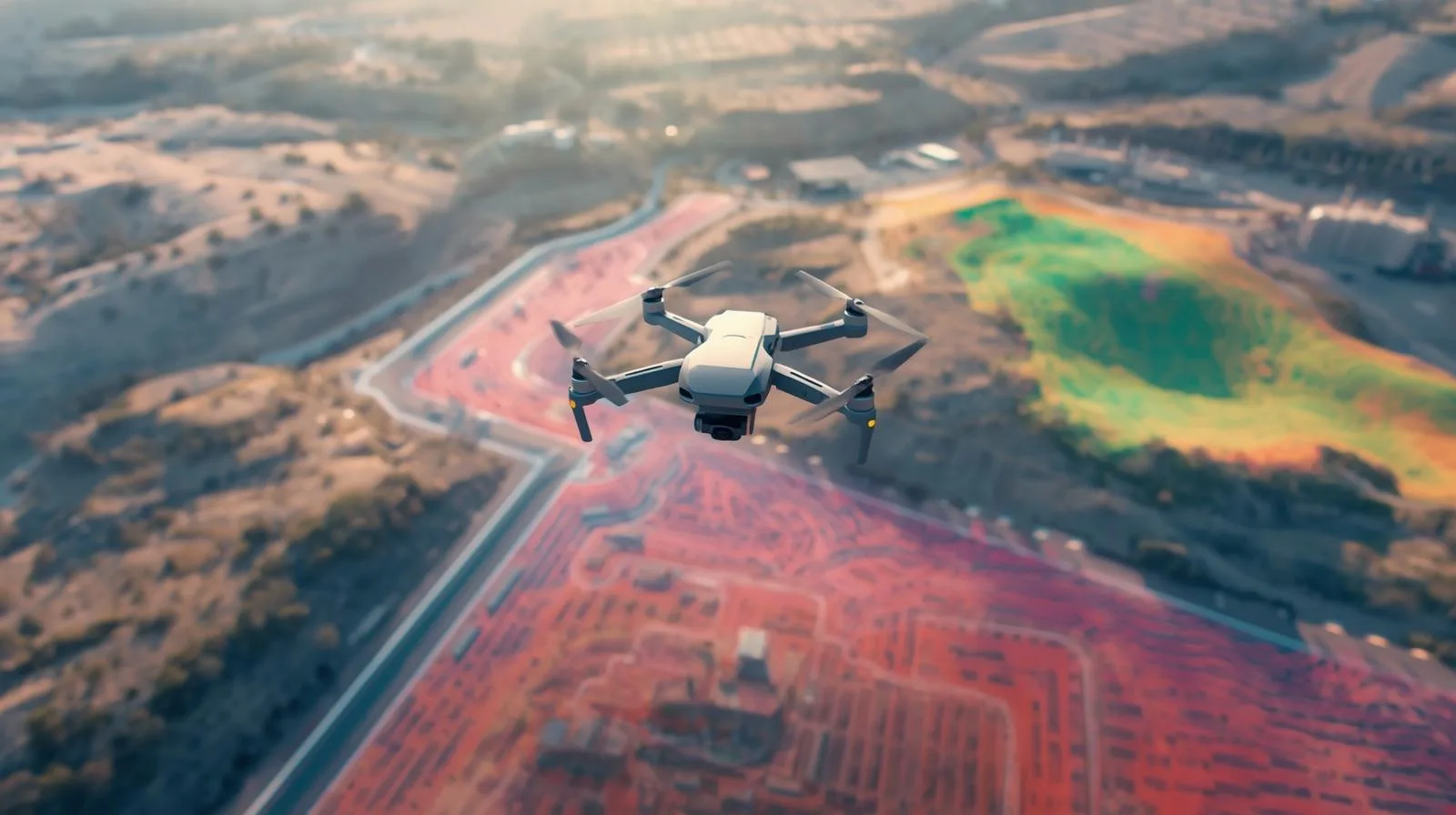
The measurement accuracy of drones is revolutionizing the way we collect data in surveying, construction and engineering. With state-of-the-art sensors such as LIDAR and photogrammetry, drones offer precise results, reducing survey time and operational costs. In this article, we'll discuss key aspects of survey accuracy, its impact on various industries, and best practices in using drones for precise terrain analysis. Learn how drone technology is changing accuracy standards and what tools are helping to achieve the best results.
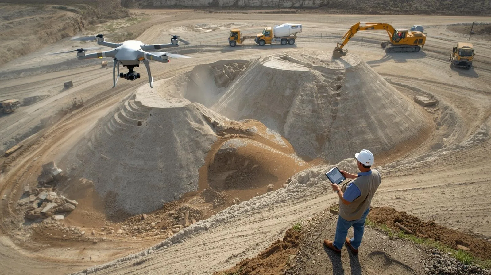
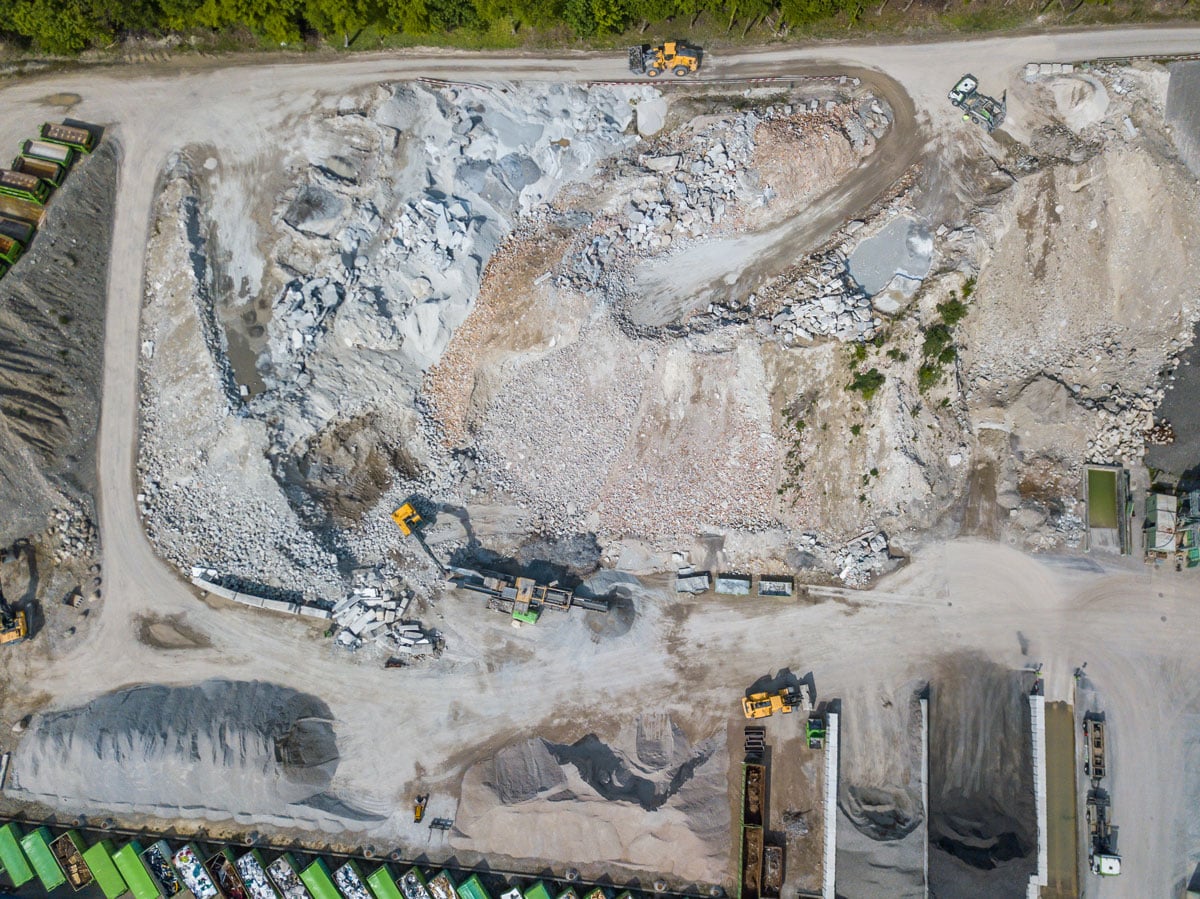
Measuring the volume of heap land masses plays a key role in construction, mining and bulk material logistics. Traditional methods are often labor-intensive and can be prone to error. The use of drones and modern measurement technologies allows for quick and accurate volume determination, resulting in time and cost savings. In this article, we will look at the calculation methods and tools used in modern surveying.
Measuring the volume of materials, aggregates and earthworks on a construction site is one of the most important uses of drones. Why? Because it's time and money!
Modern technologies enable precise monitoring of work progress, accurate site mapping and improved safety on construction sites. With drones, investors and engineers can quickly identify potential problems and optimize construction processes. In the article, we look at how aerial filming is revolutionizing the industry and the benefits it brings.
Photogrammetry in the construction industry is opening up new opportunities in planning, monitoring and execution of projects. Thanks to drone technology and advanced image analysis, companies can obtain accurate 3D models of terrain and objects, increasing work efficiency and reducing errors. In this article, we take a look at the key applications of photogrammetry in the construction sector, discuss its benefits, and show how professional services can improve investment processes.
Drone land mapping is an innovative solution that offers high precision and efficiency in a variety of industries, from construction to agriculture. The cost of this service depends on a number of factors, such as the type of drone, the size of the area to be covered and the level of detail of the required data. This article discusses the key aspects that affect price, compares applications in different sectors, and provides strategies for optimizing costs. Learn what to look for before choosing a drone mapping service and how to maximize the potential of this technology.
The stability of a drone's flight depends on many factors, such as aerodynamics, wind strength, temperature, as well as the quality of components such as engines, propellers and navigation systems. Proper flight preparation and operator skills are key to safe and precise drone operation. This article discusses the key aspects affecting flight stability, the importance of atmospheric conditions, as well as modern drone stabilization and autonomy technologies. Learn the principles that will help you improve your drone's control and avoid common problems during flight.
Drone photogrammetry is a modern method of acquiring spatial data that is used in construction, agriculture and surveying. By using drones equipped with advanced cameras and sensors, it is possible to quickly and accurately create maps and 3D models of the area. The technology offers time savings, cost reductions and increased accuracy of measurements compared to traditional methods. The article discusses the basic principles of drone photogrammetry, its key applications and the prospects for further development of this technology.

Training in UAV surveying technology is becoming a key element in the development of many industries. Thanks to modern training methods, professionals can effectively use drones for precise land surveying, infrastructure inspection or environmental monitoring. In this article, we outline the most important aspects of UAV training - from the technologies used to the benefits of implementing them in everyday work. Learn how to improve your skills and realize the potential of UAVs in your industry.
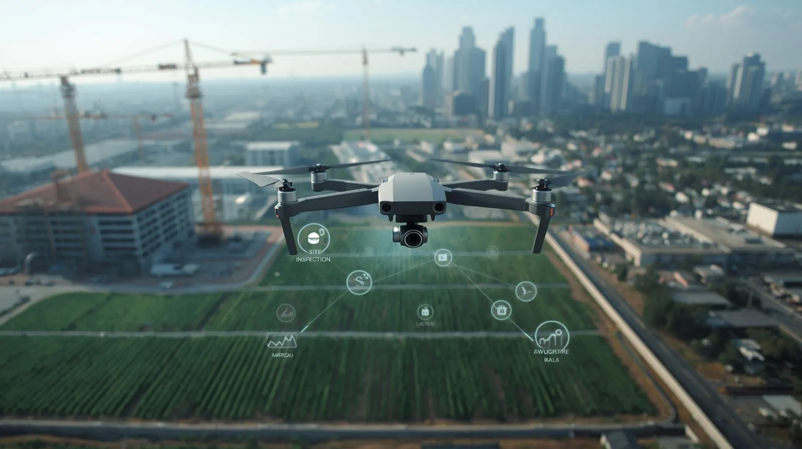
Drones are becoming an indispensable tool in business, streamlining processes in agriculture, logistics, infrastructure inspection or rescue. In this article, we discuss the most important commercial applications of drones, their impact on business efficiency and future trends in this rapidly developing technology. Find out how drones can change the way you do business and make your company more competitive!
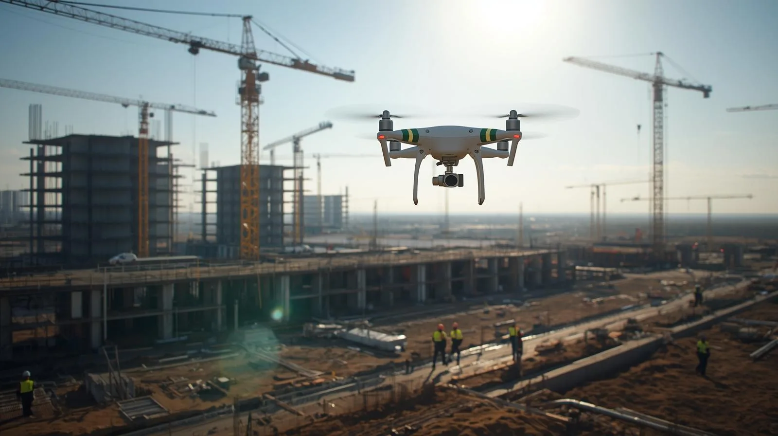
Drones have revolutionized the construction industry, offering precise monitoring, inspection and real-time data analysis. Their use increases project efficiency, improves worker safety and reduces operational costs. Find out how modern technology is influencing the development of the construction sector and what opportunities it opens up for engineers and investors.
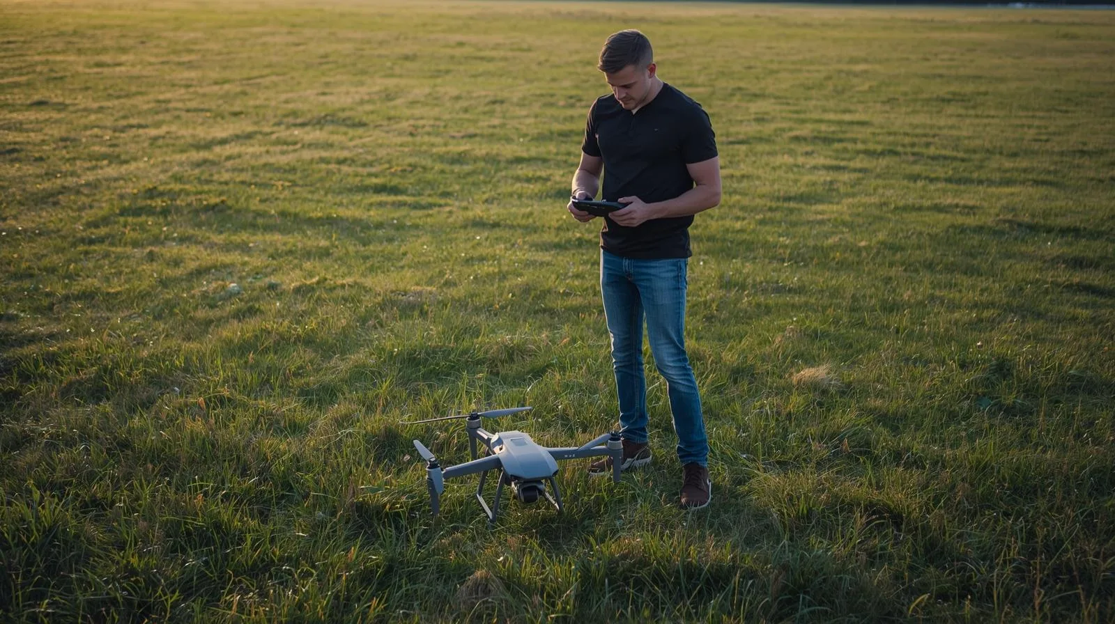
Flying a drone is not only great fun, but also a huge responsibility. In order to avoid technical and legal problems, every operator - both novice and experienced - should plan his flight accordingly. In this article, we will discuss the most important steps to help you prepare for a drone mission: from choosing the right equipment, to analyzing weather conditions, to complying with applicable regulations. Learn how to organize a safe and effective drone flight!
The construction industry is changing rapidly, and drones are playing an increasingly important role in it. Thanks to modern technology, they make it easier to monitor the progress of work, inspect hard-to-reach areas and take precise measurements. They allow to increase efficiency and safety, minimizing risks on the construction site. In this article, we take a look at the most important applications of drones in construction and the benefits they can bring to your project.
Modern topography is based on innovative technologies, and topographic drones play a key role in it. Thanks to their advanced sensors and GPS systems, they make it possible to map terrain quickly and accurately, making them indispensable in construction, agriculture or urban planning. In this article, we will take a look at how these modern devices work, their main advantages and how they can revolutionize the way geographic data is collected.
Modern drones equipped with advanced surveying technologies are revolutionizing the construction industry. With LiDAR systems, photogrammetry and 3D modeling, they enable fast, precise and efficient data collection, improving every stage of a project. In this article, we take a look at key drone surveying techniques and their application in construction projects. Find out how modern technologies can improve the accuracy and safety of construction site work.
As the number of drones in the airspace increases, so does the risk of collisions with other aircraft. Analyzing the airspace, monitoring weather conditions and using modern obstacle detection and avoidance systems are key here. In this article, we outline the most important factors to consider when assessing the risk of a drone collision and tips on how to increase flight safety.
UAVO training is the key to flying drones legally and professionally. Find out what certification entitles you to and how to get it!
UAVO training is the key to flying drones legally and professionally. Find out what certification entitles you to and how to get it!
UAVO training is the key to flying drones legally and professionally. Find out what certification entitles you to and how to get it!
Drone technology is revolutionizing many fields - from property monitoring to support in accident analysis and event documentation. High-quality aerial photos and recordings can be key evidence in legal cases, technical inspections or field investigations. In this article, we will look at the practical applications of drone evidence and its role in everyday life.

Drones have come a long way - from the first concepts of unmanned flight to advanced systems used in various industries. Their development has affected industry, agriculture, logistics and many other sectors, revolutionizing the way data is collected and processes are managed. Thanks to modern technologies such as artificial intelligence and GPS, drones are becoming increasingly autonomous and precise. In this guide, we trace the key stages of their evolution and future directions.
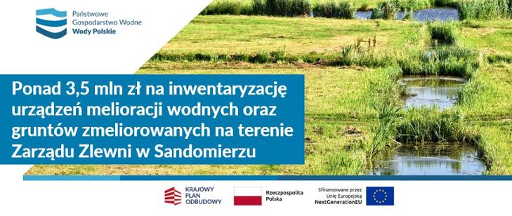
Warsaw, 31/12/2024. - SkySnap, a leader in geospatial data acquisition and analysis, has been selected to carry out a project to inventory water reclamation facilities and reclaimed land in the Sandomierz River Basin Authority. The project, funded under the National Reclamation Plan (NRP), includes state-of-the-art drone technologies: orthophotos, LiDAR scanning and point cloud, which will enable precise assessment of hydraulic infrastructure.

We share some nice news - SkySnap was mentioned in the prestigious Forbes Poland magazine! 🎉
The article on the Polish drone industry addresses key issues related to the dynamic development of technology and the growing importance of companies offering innovative solutions.
UAVO training is the key to flying drones legally and professionally. Find out what certification entitles you to and how to get it!
STS and drone training courses are the key to gaining new skills and professional development in the rapidly growing technology industry. How do STS courses work? Why is it worth completing them? What are the benefits of learning to operate drones? In this article, you'll find all the most important information about training courses that open up new opportunities in the job market and allow you to fully exploit the potential of drones in various sectors. Find out how to prepare for the course and its practical applications!
Safety and regulation are key aspects in drone operations. The SORA (Specific Operations Risk Assessment) risk analysis is a tool that helps drone operators identify and minimize potential risks. What steps does this process include? Why is it essential for professionals and companies using drones? In this article, we take a look at the most important aspects of SORA and its role in ensuring safe drone operations.
Commercial drones are opening up entirely new opportunities for companies, increasing operational efficiency, reducing costs and revolutionizing processes in many industries. From logistics and delivery, to infrastructure inspection, to photography and marketing, these advanced devices are changing the way business is done. Find out how drones can help your company gain a competitive edge and adapt to the future of technology.
Drones have become an indispensable tool in modern surveying, offering precise measurements, fast mapping and time savings. In this guide, you'll learn which models work best for surveying - for both beginners and advanced users. You'll learn about key features, technologies and tips to help you choose the perfect drone for professional surveying applications.
In this age of technological revolution, the ability to operate drones is becoming a core competency in many industries. Drone training not only enhances professional opportunities, but also opens the door to new career paths in construction, agriculture, logistics or filmmaking. Find out how drone courses can help you develop your skills and why they are an investment in your future!
Survey drones have revolutionized the way spatial data is collected, offering precise, fast and efficient solutions for surveying, construction and infrastructure inspection. In our beginner's guide, you'll learn what survey drones are, their applications and what to look for when choosing one. Find out how modern technologies can improve your work and open up new opportunities!
Want to become a certified drone pilot? Our step-by-step guide will walk you through the entire process - from entry requirements, to preparing for the exam, to earning your official certification. Learn how to get a license, what skills are necessary and what career opportunities certification opens up.
Photogrammetric air strikes and drones are a technological revolution that is changing the way maps and 3D models are created. Using precise aerial data, surveyors, urban planners and environmental specialists can analyze terrain faster and more accurately. Find out how these innovations are affecting modern cartography and the benefits they bring to various industries.
Orthophotos created by drone are a fast and accurate method of mapping terrain. In this step-by-step guide, we explain how to plan a flight, collect data and process it into accurate maps. Learn which drones and software will work best and how to avoid the most common mistakes!
Drones are revolutionizing volume measurement, offering a fast, precise and cost-effective solution for the construction, mining and logistics industries. In our step-by-step guide, you'll learn how to use drones for accurate calculations, avoiding errors and saving time.
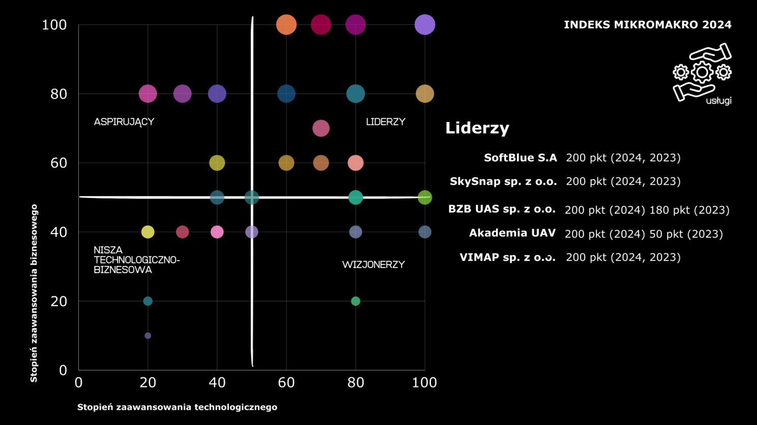
SkySnap has risen to 5th place in the Micromacro 2024 Index, confirming its position as a leader in drone services in Poland. Learn how our innovation and technological development contributed to this success.
Drone flight mapping is a complicated process that becomes more manageable with the right approach. Explore our guide.
Drone flight mapping can be simple and effective! In this step-by-step guide, you'll learn the key principles of planning, choosing equipment, and using modern technology.
From this article, you'll learn how drones are changing our everyday lives - from package deliveries and crop monitoring to spectacular aerial shots. You'll see what innovations they're bringing to logistics, agriculture and filming, and what challenges the technology is facing, especially in terms of regulation and safety.
Drones are revolutionizing land mapping, offering fast and precise solutions for construction, agriculture and environmental monitoring. In this article, you will discover the key benefits of this technology and how to use it effectively.
Drones have made their home in surveying for good, changing the way land surveying and analysis is done. Learn how modern technology is speeding up surveyors' work, increasing data precision and opening up new opportunities in the industry.
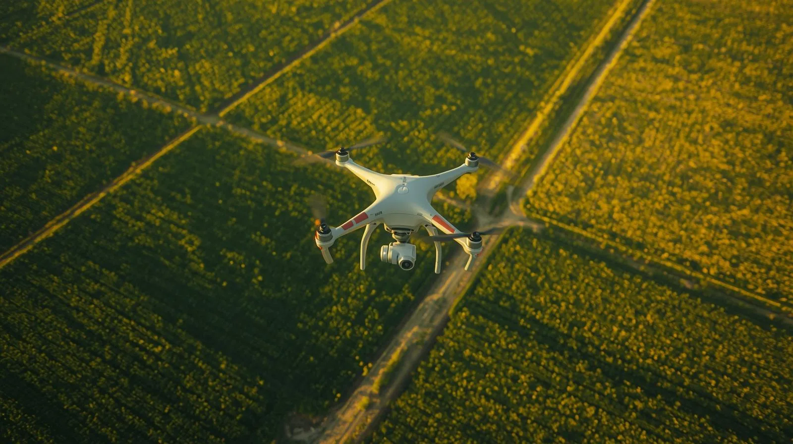
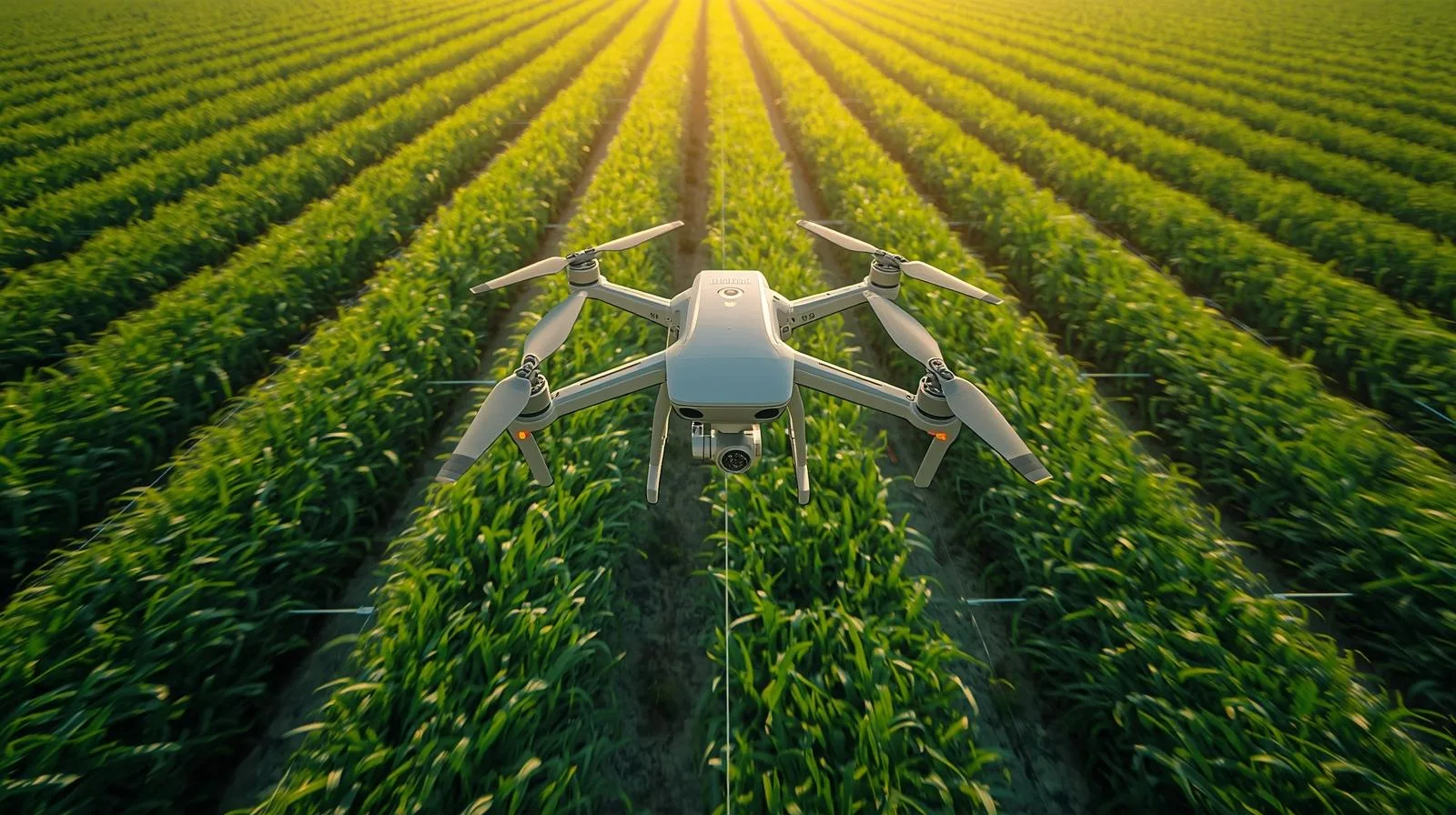
Drones are revolutionizing the mapping of agricultural fields, allowing precise monitoring of crops, optimization of yields and better management of resources. In this guide, you'll learn how to effectively use drones in agriculture and the benefits they can bring to your farm.
Drones are gaining popularity in many sectors - from agriculture and construction to logistics and medicine. Find out why demand for drone services is growing so rapidly and the benefits of these modern technologies.
Surveying drones are redefining land surveying, offering speed, precision and access to hard-to-reach areas. Find out how modern technology is changing the surveying industry and the benefits it brings to professionals and investors.
Land denivelization plays a key role in construction and urban planning, affecting structural stability and efficient land use. Find out what the process entails, what technologies are used and why it is so important for the environment and infrastructure.
From this article you will learn what an orthophoto is, how it is created and what technologies are used to create it. Its key applications in urban planning, agriculture and environmental management will also be presented, as well as the future directions of this technology.
Drones are becoming an integral part of modern life, facilitating everyday tasks in a wide range of areas - from package delivery to crop monitoring to infrastructure inspection. Find out how modern drone services can affect your convenience, safety and efficiency in daily operations.
In this article, we'll look at the basic aspects of drone photogrammetry, discuss how to get started with the technology, and outline the key benefits of using it.
In this article, we'll look at the basic aspects of drone photogrammetry, discuss how to get started with the technology, and outline the key benefits of using it.
Drones are revolutionizing filming, offering spectacular shots and new creative possibilities. Learn how to use them in your production!
Want to start filming with a drone? Find out what equipment to choose, how to record spectacular shots and avoid mistakes. Practical tips for beginners!
In this article, we'll look at the basic aspects of drone photogrammetry, discuss how to get started with the technology, and outline the key benefits of using it.
Drones are revolutionizing construction monitoring, providing rapid data collection, better progress control and improved safety. They enable accurate documentation, cost reduction and more effective project management, becoming a key tool in modern construction.
Drones are revolutionizing surveying by providing fast, precise and safe data collection. They make it possible to create orthophotos, 3D models and monitor terrain changes. Compared to traditional methods, they offer greater efficiency, cost savings and better accessibility to hard-to-reach areas.
LiDAR from a drone is a precision land mapping technology that creates accurate 3D models. Thanks to the drone's mobility, it enables fast and efficient data collection in surveying, construction and agriculture. Ideal for analyzing hard-to-reach areas.
Drone data sharing is revolutionizing technology, enabling faster analysis and better decision-making. The use of drones in agriculture, infrastructure and monitoring allows for more efficient data management, supporting the development of smart systems and process automation.

Drone photography opens up new possibilities for capturing spectacular aerial views. Learn how to choose the right drone, master basic techniques and avoid common mistakes. Discover practical tips to help you get started with aerial photography!
Drone services are changing the way many industries, from agriculture to logistics, operate. They are making precise inspections, efficient resource management and fast deliveries possible. Check out how drones are revolutionizing business and the benefits they can bring to your industry!
Drones are revolutionizing surveying, offering precision, speed and cost savings. How do they work and what technologies do they use? Check out our guide and learn how drones are changing the future of surveying!
Drones are not just a hobby, but also a great way to build a profitable business! Learn how to use your equipment for photography, technical inspections, or logistics services. Check out our practical tips and start earning today!
Online point cloud is an innovative solution that is revolutionizing the engineering, architectural and surveying industries. By accurately mapping objects in 3D, it enables accurate analysis, modeling and visualization. Learn how this technology works and the benefits it can bring to your industry!
The use of drones in construction not only saves time and costs, but also makes work more precise and safer. In this article, we take a look at how modern technology is revolutionizing the construction sector and what benefits it brings to companies and engineers.

Image processing is more than just photo editing - it is a technology that is driving the development of artificial intelligence, medicine and security. Learn about the latest developments in this field and see how they are changing our digital reality.
Advanced drone software is changing the way the world around us functions. From autonomous deliveries and infrastructure monitoring to precision analysis in agriculture and rescue, drones are becoming an integral part of everyday life. Find out how modern technology is impacting our lives and what opportunities smart drone control systems are opening up for us!
Surveying drones are revolutionizing the way field data is collected and analyzed. With precise aerial measurements, surveyors can create maps faster and more accurately, monitor changes in the field, and optimize construction processes. In this guide, we present key information for beginners and advanced users - from choosing the right equipment to best practices in aerial surveying.
Modern drones equipped with advanced sensors and cameras are becoming a key tool in surveying, construction and agricultural measurements. Find out how these innovative devices are improving data collection and why you should use them in your daily work.
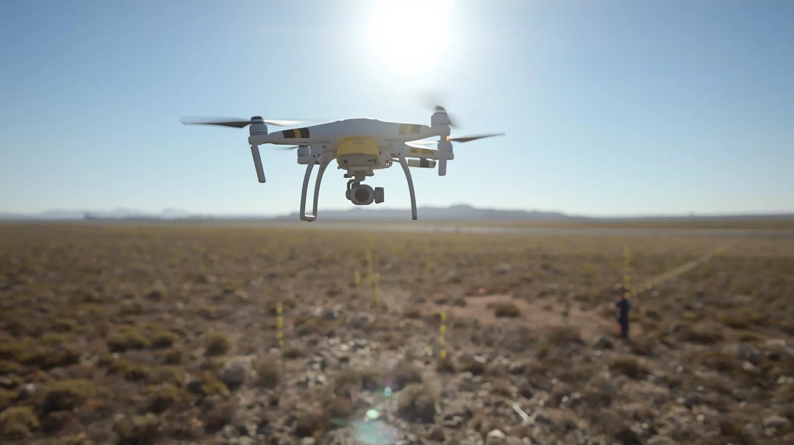
Drones in surveying are not the future - they are the present! Thanks to modern technologies such as lidar, photogrammetry and multispectral cameras, surveyors can take field measurements faster, more accurately and more safely. In this article, we discuss the key applications of drones in surveying, their advantages over traditional methods, and the challenges facing this rapidly developing technology.
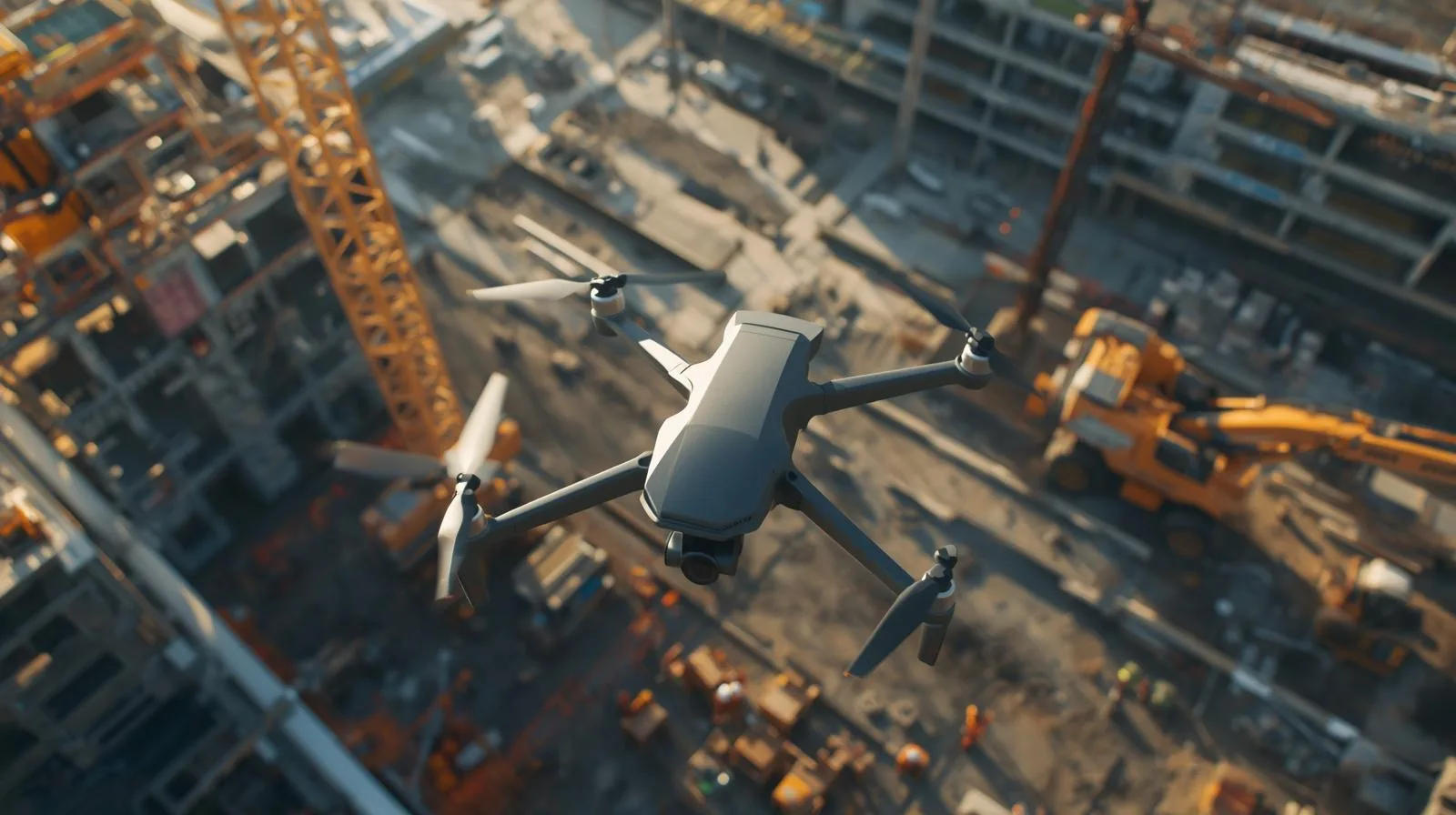
Drones are revolutionizing the construction industry with cutting-edge solutions that increase efficiency, improve safety and reduce costs. In this article, we discuss the key applications of drones in the construction industry - from monitoring the progress of work to precise infrastructure inspections. Learn how UAV technology can streamline construction processes and bring real benefits to your business.
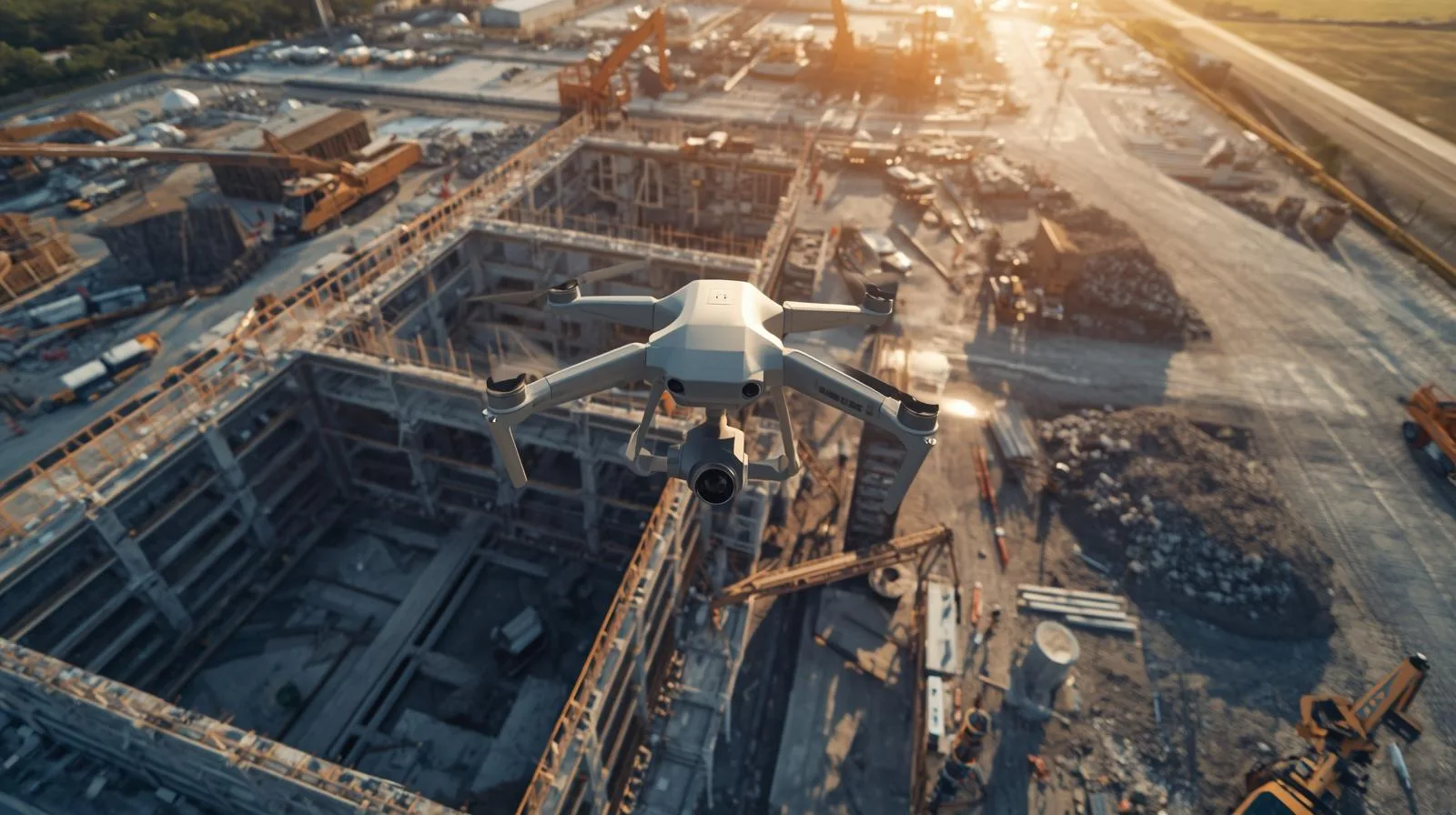
Today's construction industry is increasingly turning to modern technology, and drones are playing a key role in the inventory of construction sites. With precise measurements, rapid data collection and automated analysis, they allow for better project management and cost reduction. In this article, we'll take a look at how drones are streamlining the monitoring of work progress, improving safety and changing the way inventory is conducted in the construction industry.
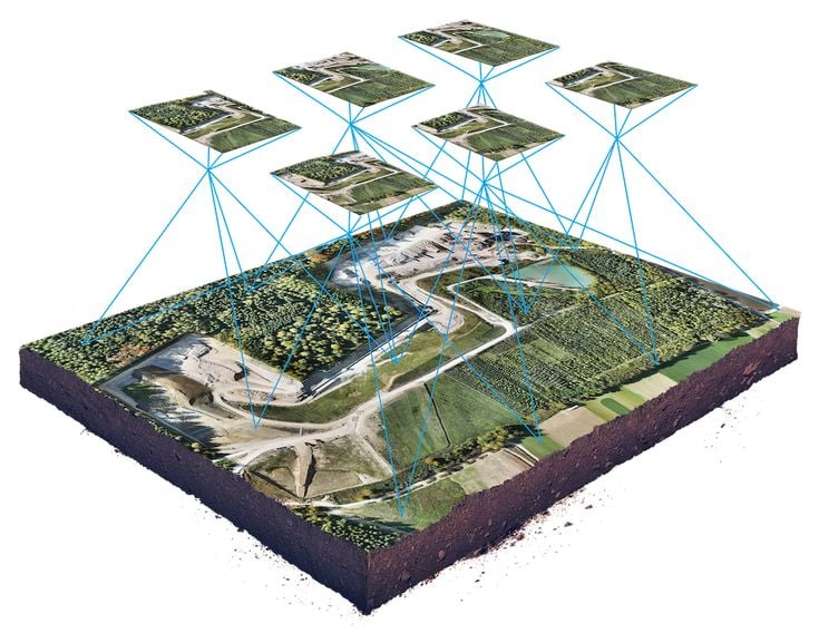
Drones are revolutionizing land mapping, offering fast and precise data collection. In this guide, you'll learn the basics, key applications and benefits of this technology.
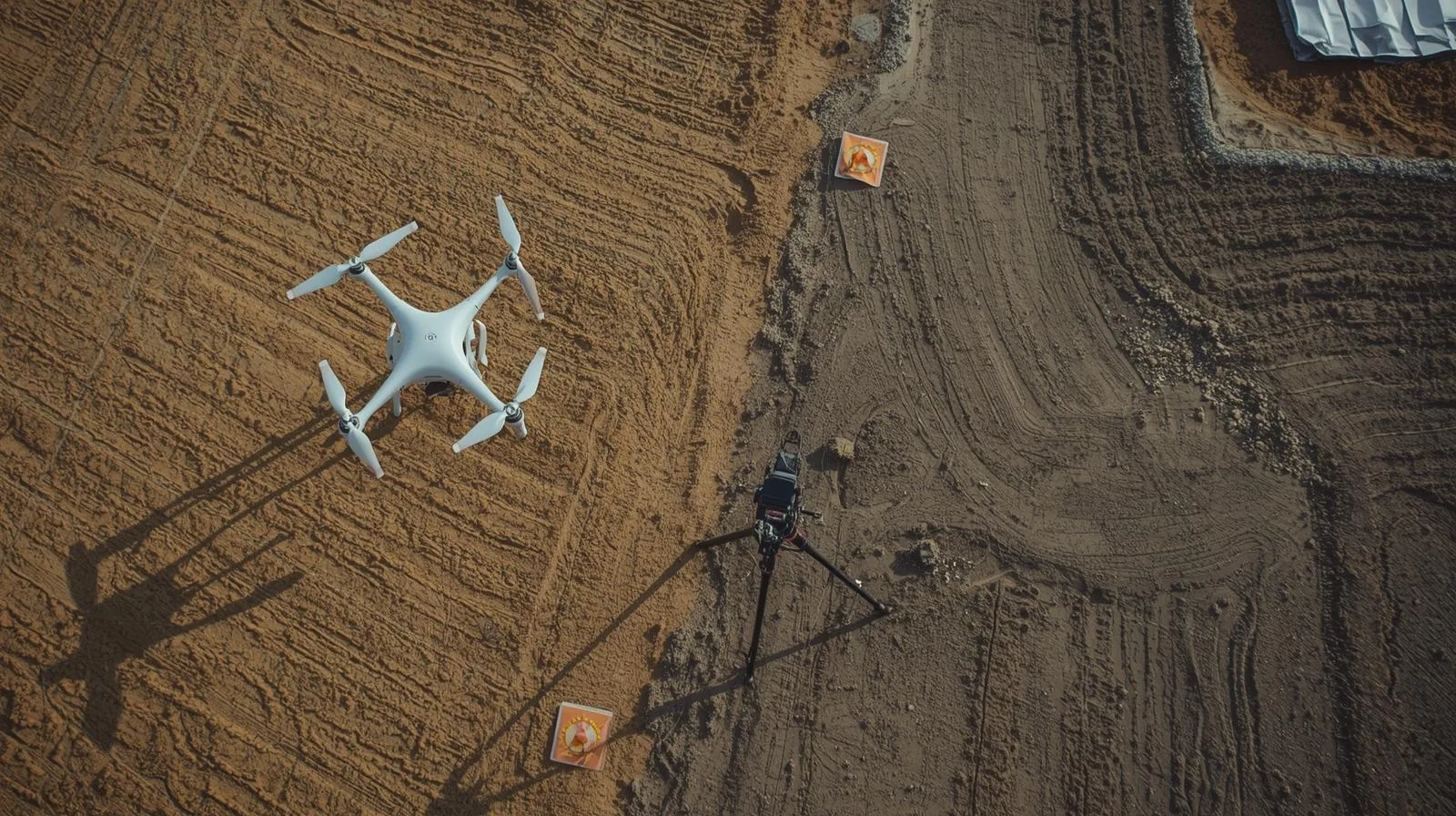
Surveying maps from a drone makes measurements faster and more precise, revolutionizing surveying. Thanks to modern technology, they allow for faster, more accurate and more efficient creation of terrain models.
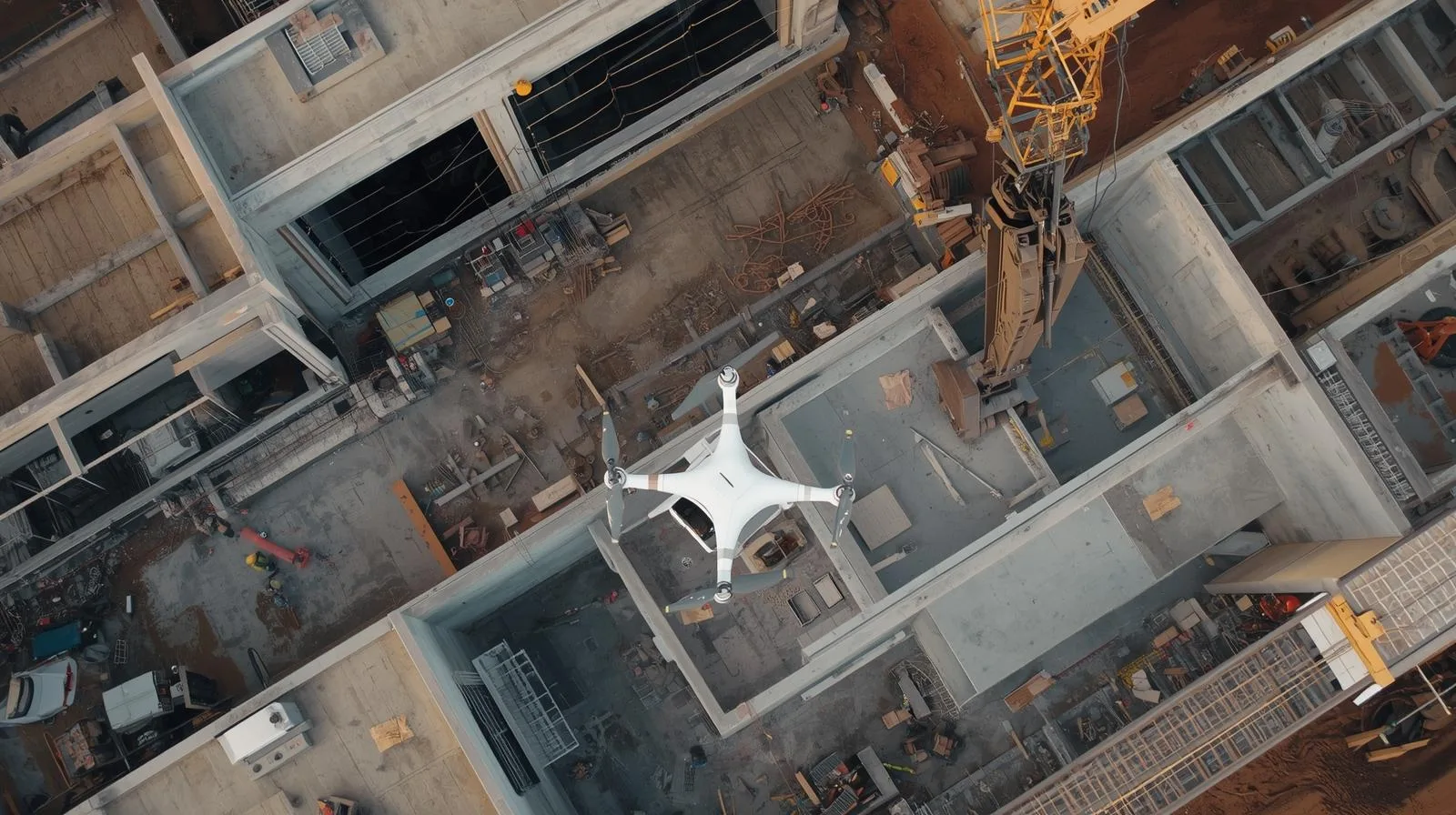
Monitoring construction with a drone allows you to track the progress of work quickly, accurately and efficiently. With precise aerial imagery and data analysis, you can better manage your project and avoid costly delays.

Drones are revolutionizing warehouse management, enabling fast and precise inventory monitoring. By automating inventory, reducing operational costs and minimizing human error, they are becoming a key tool in logistics. In this article, we will discuss how drones work in warehouses, the benefits they bring, and the challenges of implementing them.
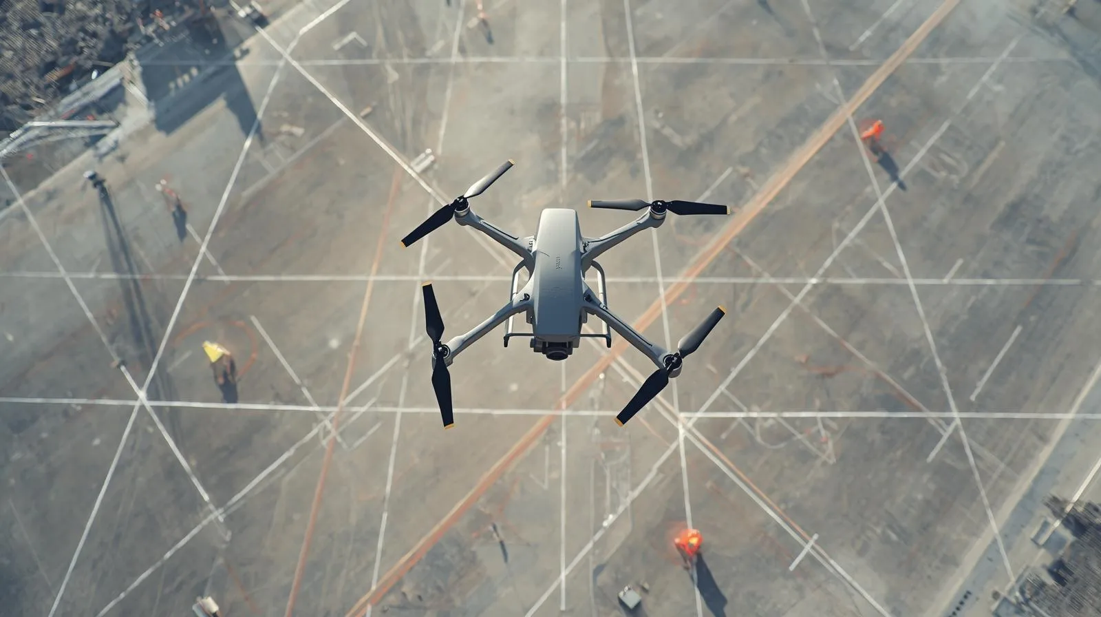
Drone photogrammetry is a breakthrough technology that allows for quick and precise creation of maps and 3D models. In this article, you'll learn the basics of photogrammetry, key applications, and how to start your adventure with modern measurements. Check out the benefits of this method and how it can improve work in your industry
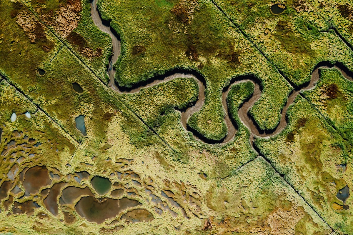
Orthophotos from a drone are a precise and fast tool that is changing the way we analyze space. Used in urban planning, agriculture and environmental protection, they provide timely and accurate data. Find out how they can improve work in your industry!
SkySnap, a leading Polish provider of photogrammetric solutions, unveils a new version of its platform, SkySnap Portal Dedicated to surveyors, drone companies and general contractors in the construction industry.
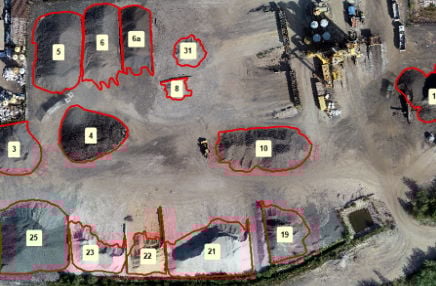
Measuring the volume of aggregates - whether heaps of aggregate, sand, ballast or other bulk materials - is an essential part of inventory management in many industries, including construction, mining and logistics. Traditional methods (such as surveying with a total station or GPS receiver) are time-consuming, expensive, error-prone and dangerous. That's why more and more companies are opting for drone-based volume measurement, which is fast, precise and safe.

Already at the bidding stage, cost estimators face the challenge of correctly pricing a given investment at the various stages: design, preparation of the land for the construction site, and implementation of the investment.
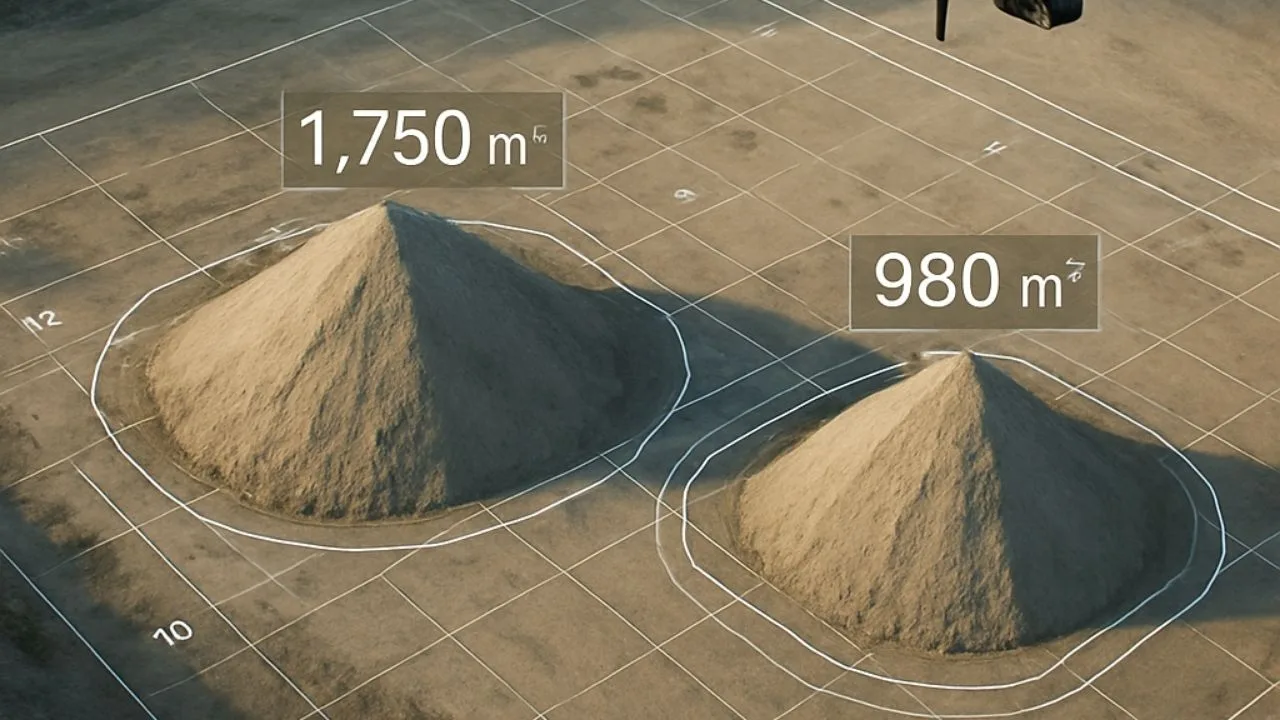

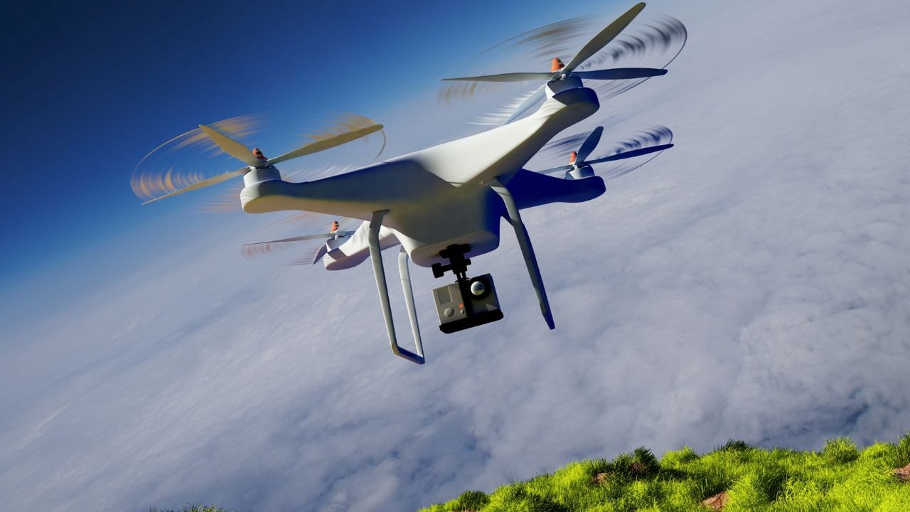
Contact
Fill out the form and arrange a presentation of our solutions.
Write or call us if you have any questions or need advice.


")
")

")
")