How to price drone and photogrammetric services (including road/infrastructure).
When?
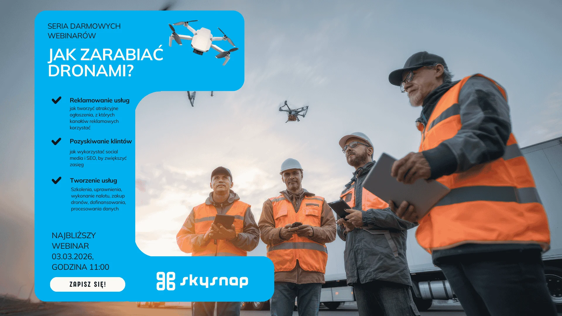
- Date: 03.03.2026 (Tuesday)
- Time: 11:00-12:00 (CET)
- Format: online (Google Meet)
For whom?
For individuals and companies that sell or want to sell UAV/photogrammetry services – especially in the areas:
- Infrastructure / linear (road) investments,
- geodesy and photogrammetry,
- construction and investment supervision,
- drone operators to raise rates and stop “adding to projects.”
What will you learn ?
- How to count the cost of performing the service (equipment, labor, travel, processing, corrections),
- How to take into account risks and variability in scope (terrain, weather, paperwork, accessibility, security),
- How to build packages and price list (variants: minimum / standard / premium),
- How to talk to customers about price: selling value, not “price per flight.”
- Where the margin most often escapes and how to prevent it (scope creep, “extras”, patches).
Agenda
- How customers compare offers and what they realistically pay for in drone services
- Pricing model: fixed vs variable costs + “risk buffer”
- Pricing of photogrammetric and infrastructure services: scope, end products, liability
- Packages / price list / terms and conditions (what needs to be in the offer so that it does not “roll out”)
- Q&A – your cases, questions, examples
Leading
- Pawel Wojcik (guest)- Director of Business Development at SkySnap. A pioneer and evangelist of digital transformation and digitalization in the construction industry.
- Agnieszka Kordus (SkySnap) – presenter
Why is it worth it?
Because it’s a “down to earth” webinar – about the realities of the market and how to price so that the project has a challenging but realistic margin, and so that your bid is clear and comparable (without underselling).
drone
photogrammetry
drone photogrammetry
Data Robots
Daters
regular revenue by drone
earning with a drone
2D measurements and reports vs. 3D models
drones on the construction site
series - earning with a drone
series - drone effect on construction site
drones in the construction industry
volume counting by drone
drone volume calculation
computing services
measurement by drone
highlighted
related to product updates
recommended drones
drones in line construction
drone flight map
SkySnap 2.0 Portal
series - product updates
drones in surveying
drone flights
LiDAR
BIM AGA
series - drones in real estate
application of drones practically
accuracy of measurement from a drone
Inspection of roofs and facades by drone
Land surveying with a drone
3D model of a building from a drone
Drones in the telecommunications industry
Volume analysis of earth materials from a drone
Monitoring of work progress from a drone
Orthophotomap from a drone
geospatial data
drone training
drones on construction site monitoring
construction monitoring
Romania
webinar
orthophotomap by drone
orthophotomap
Tips, news, insights
Related articles
Check out our articles and get the latest industry news.


")
")

")
")