Rozwiązania SkySnap
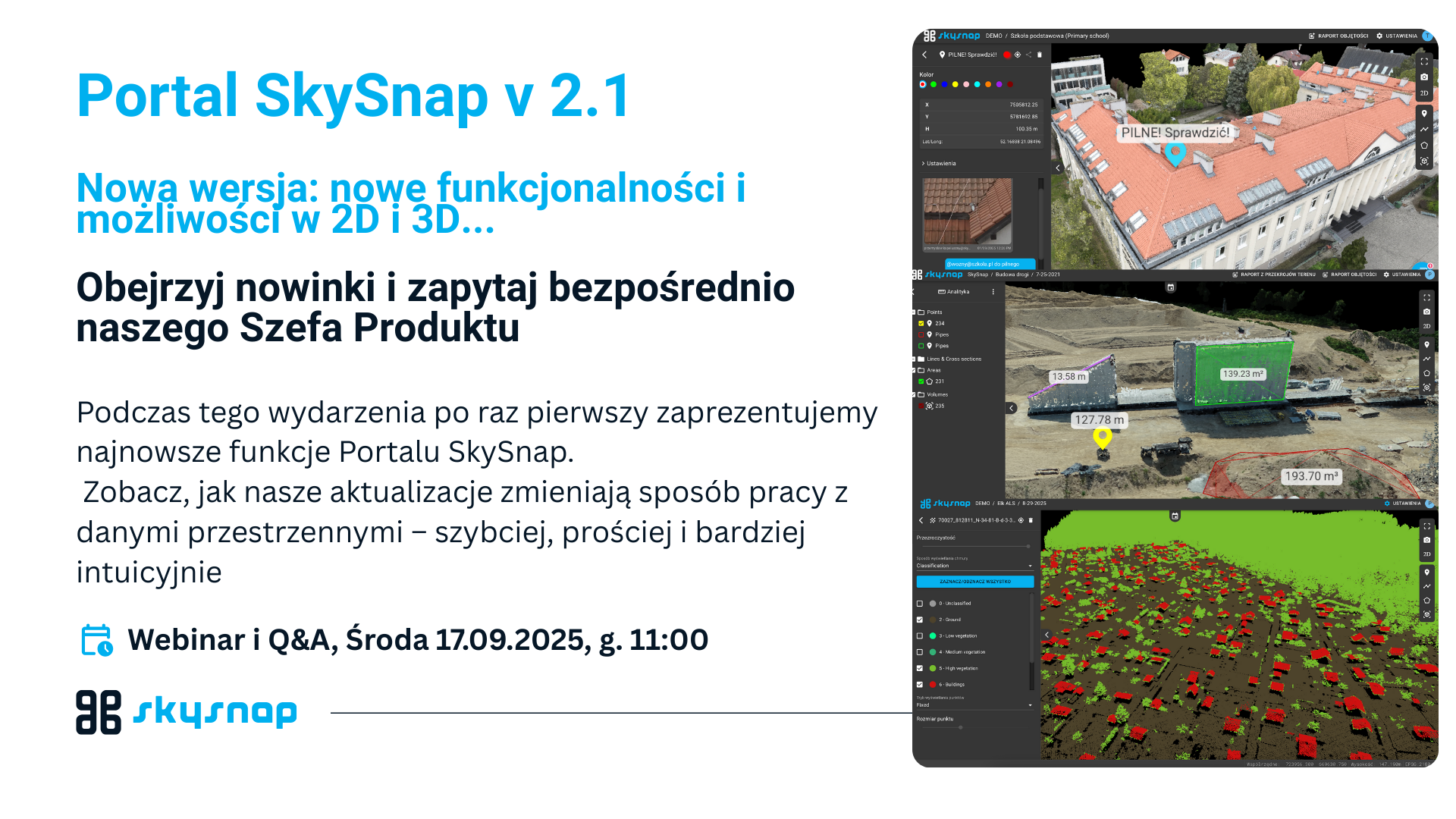
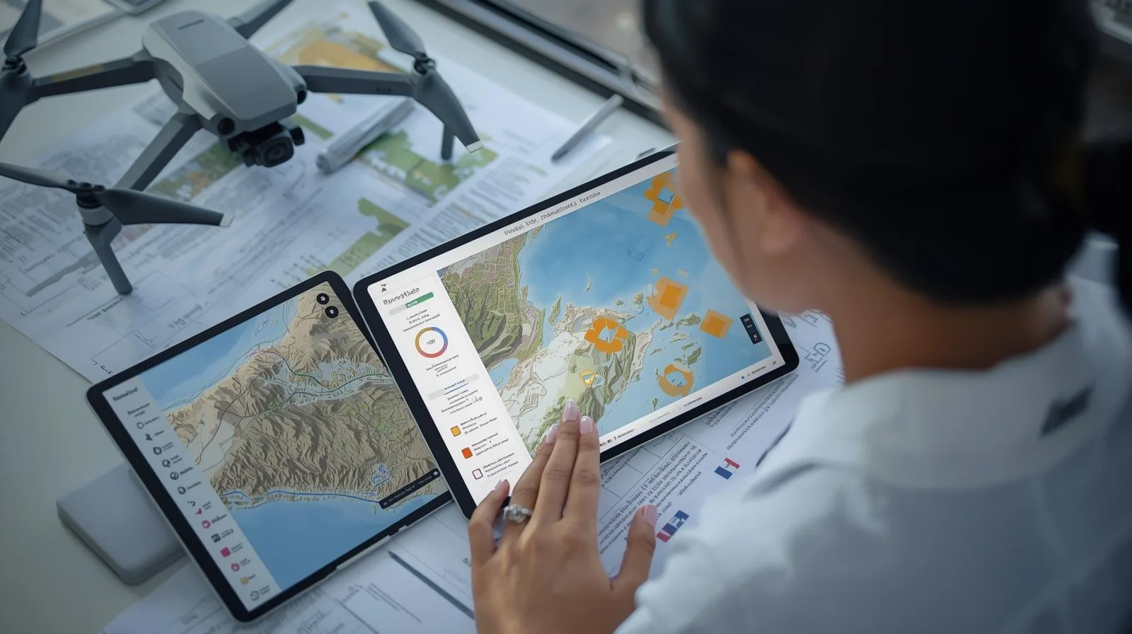
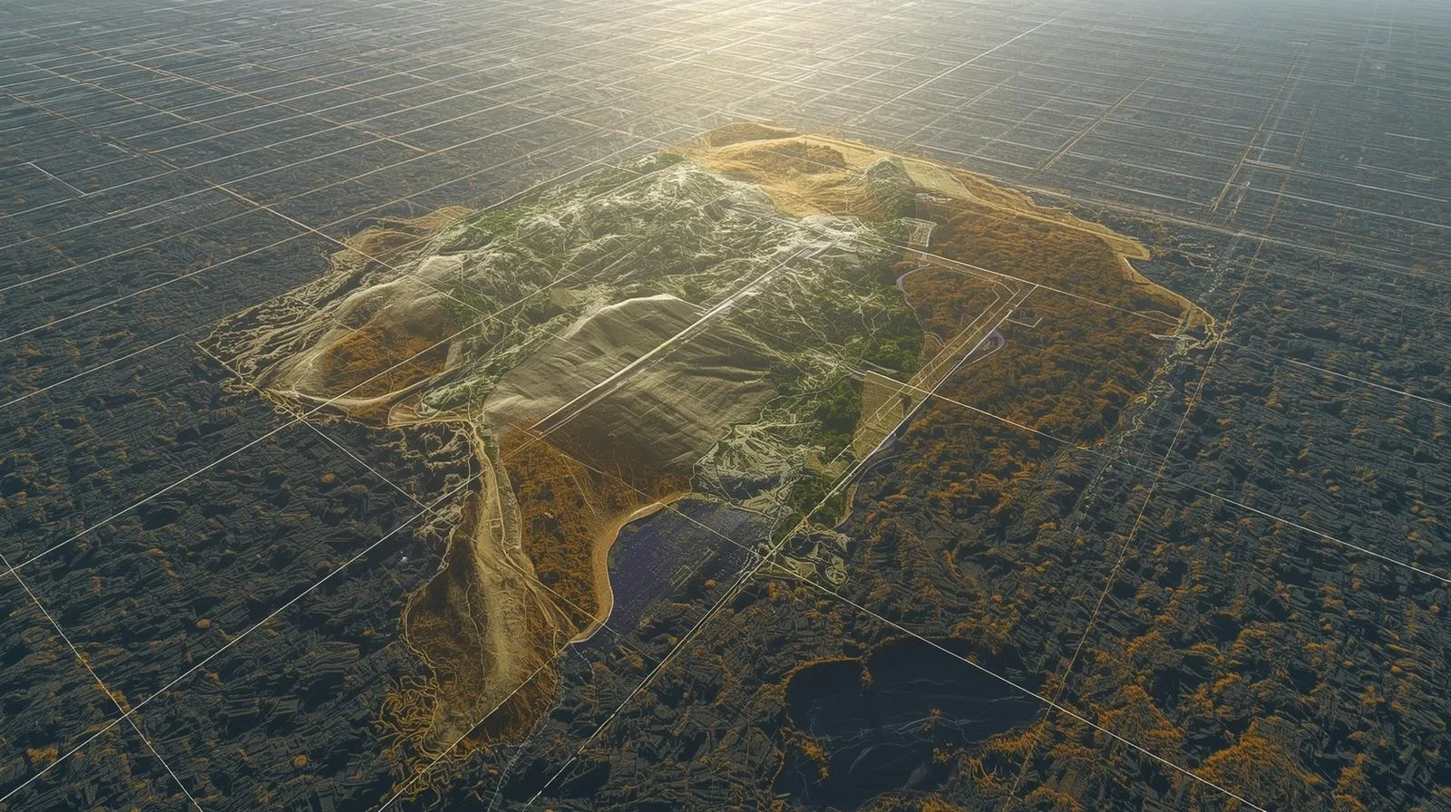
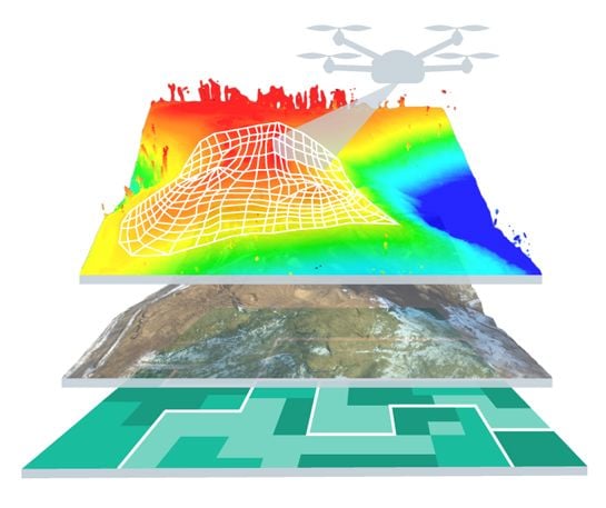
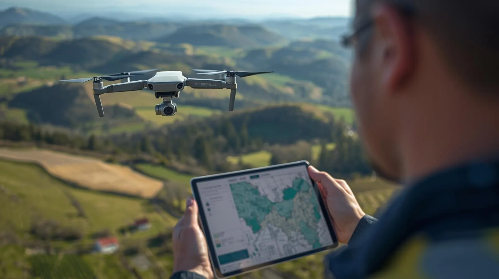
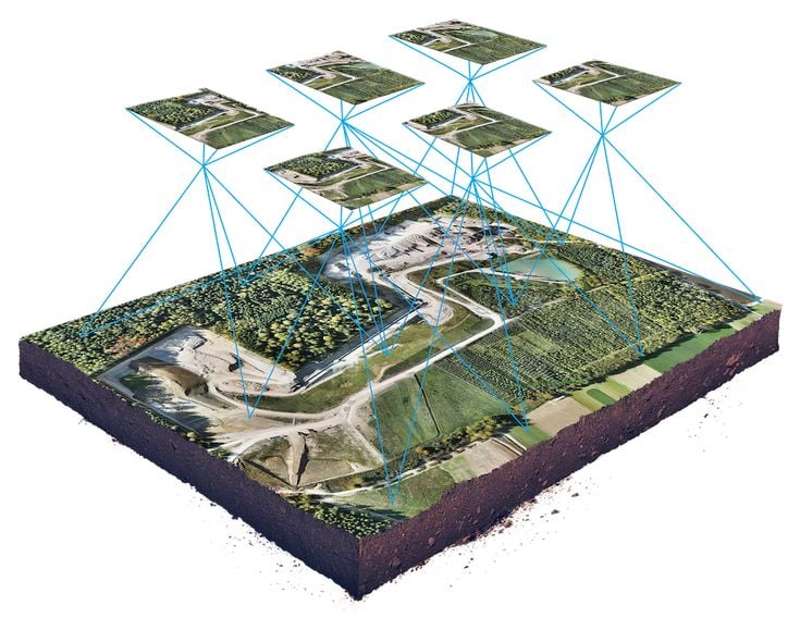
Sharing, analyzing photogrammetric data.
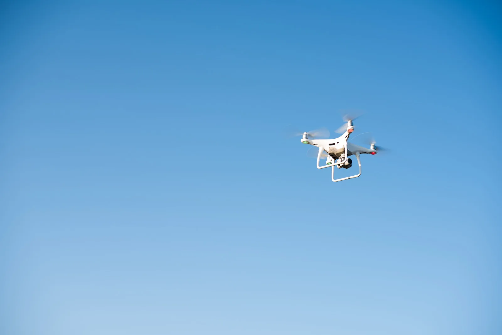
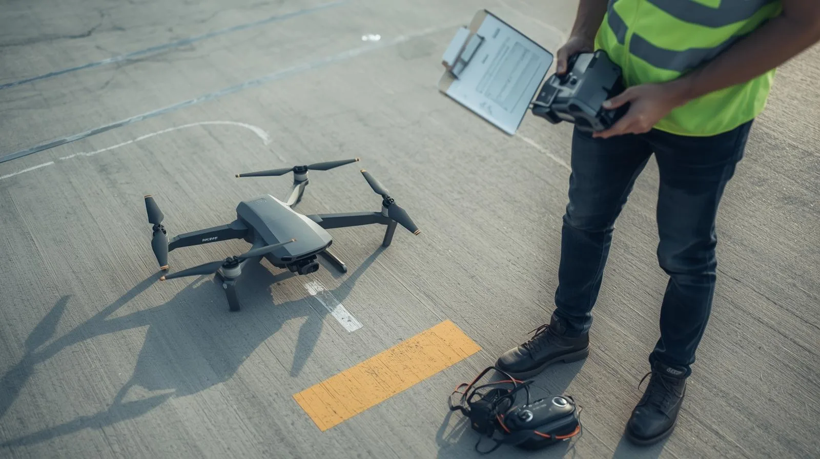
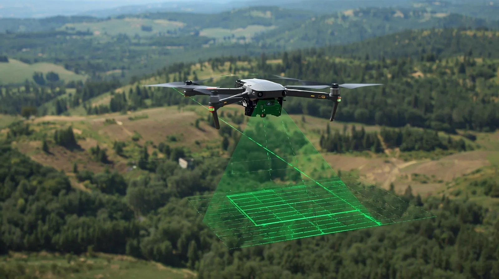
Enables processing of drone data into photogrammetric data
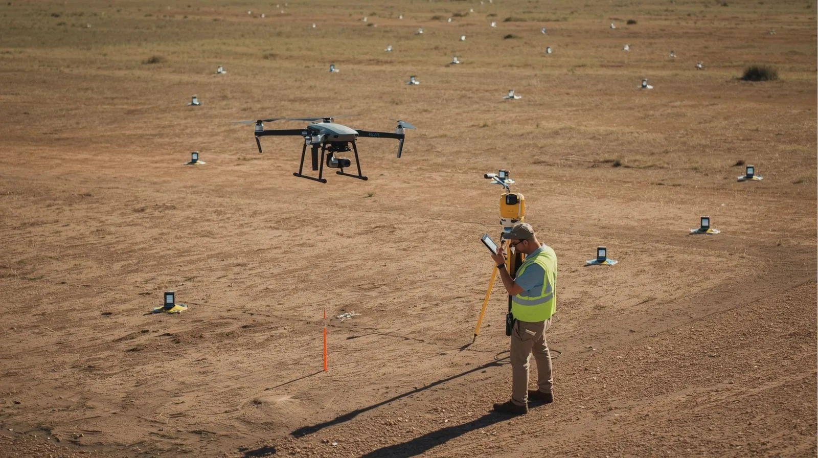
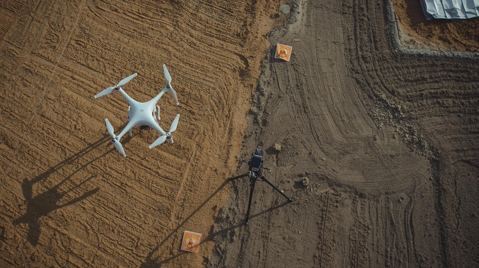
Drone services and spatial data analysis from 2015. Dozens of Polish and international investments
Information about SkySnap’s research and development projects.
Grupy docelowe
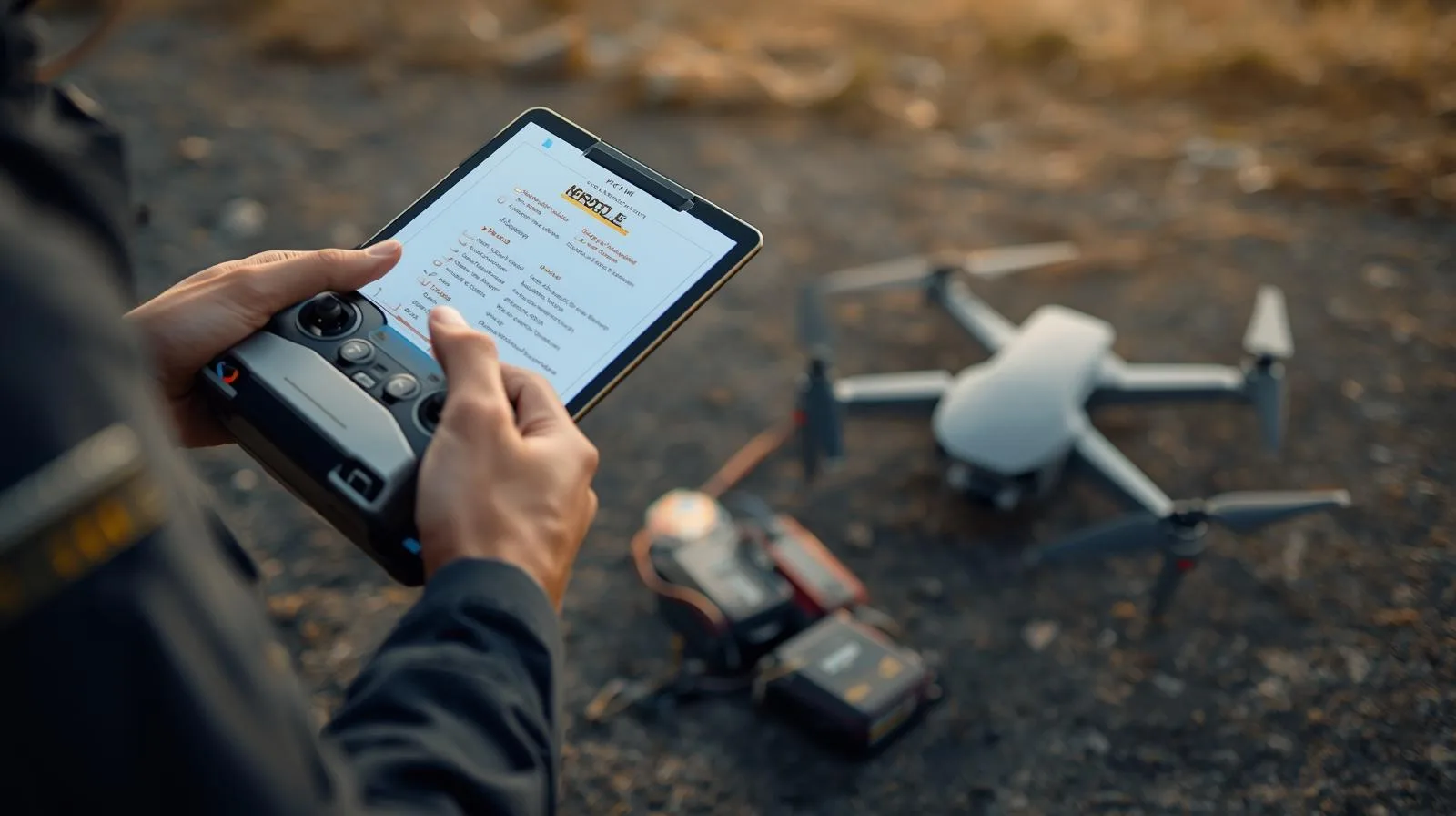
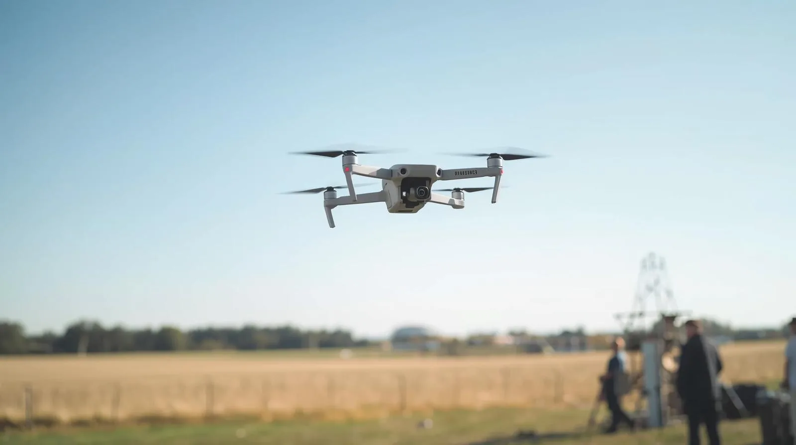
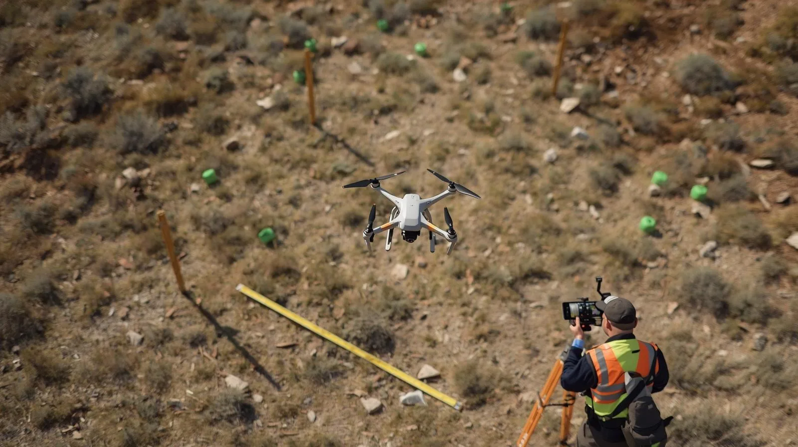
Easier site management with up-to-date drone information.
Designing and supervising an investment becomes easier when the collected data can be quickly and easily analyzed.
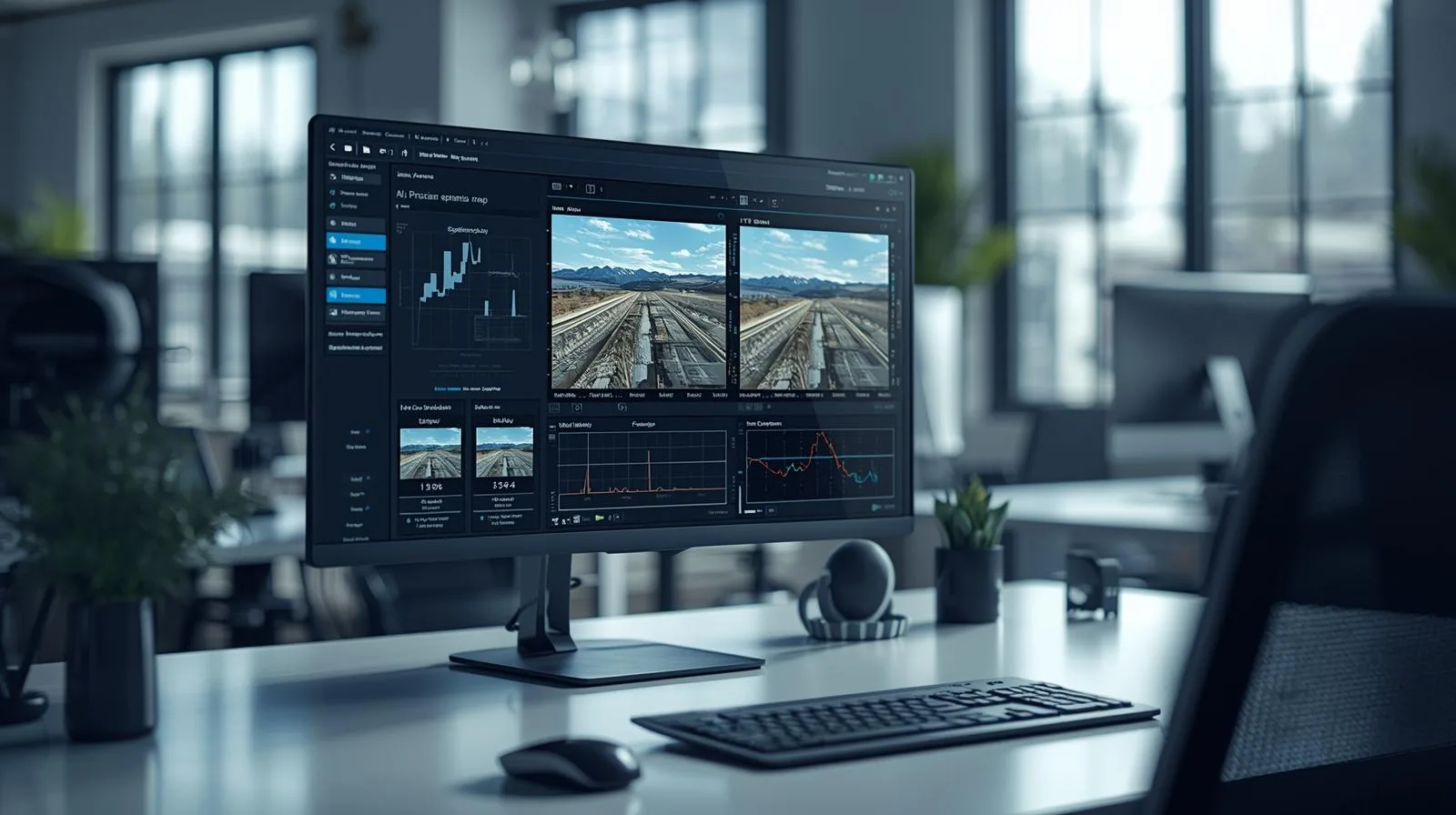
Process, analyze and share data with your customers online.
Sell the acquired data and your services in a modern way to attract new customers.
Ostatnie artykuły
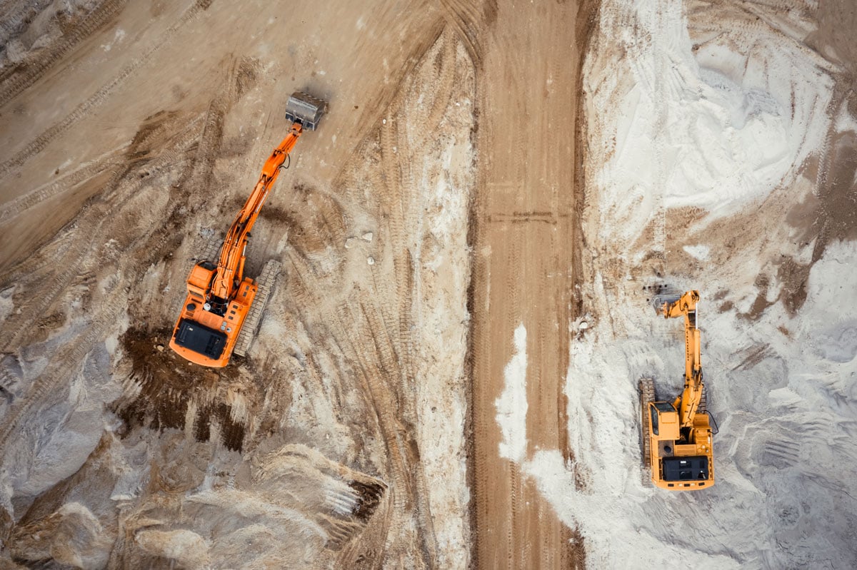
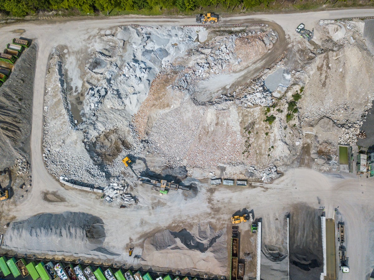
Already at the bidding stage, cost estimators face the challenge of correctly pricing a given investment at the various stages: design, preparation of the land for the construction site, and implementation of the investment.
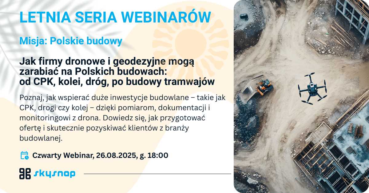
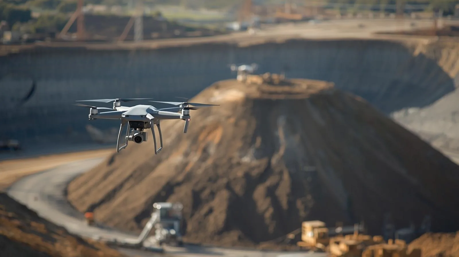
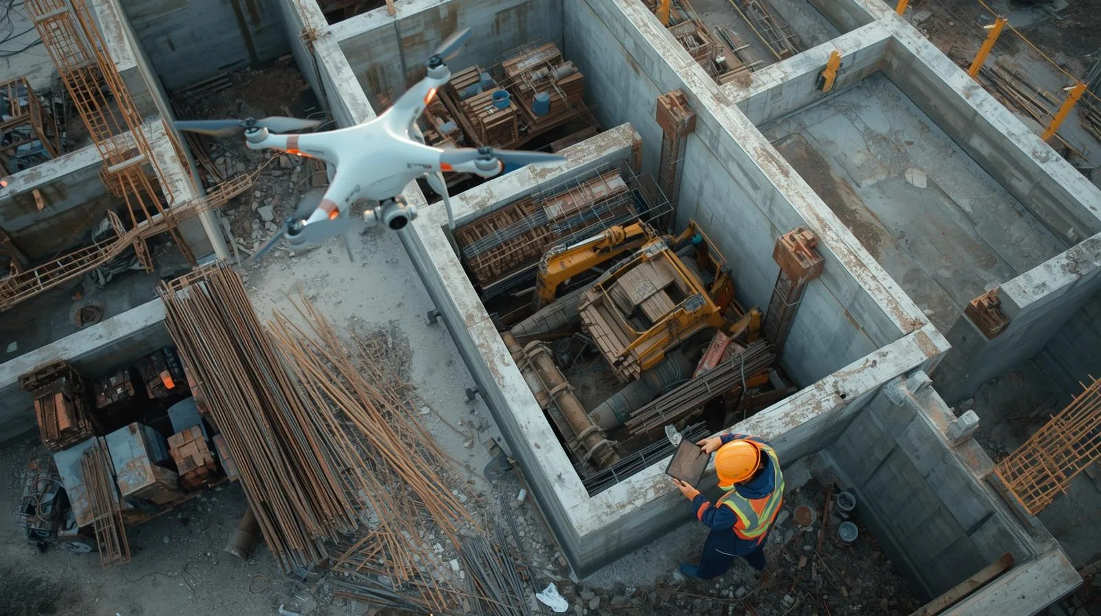
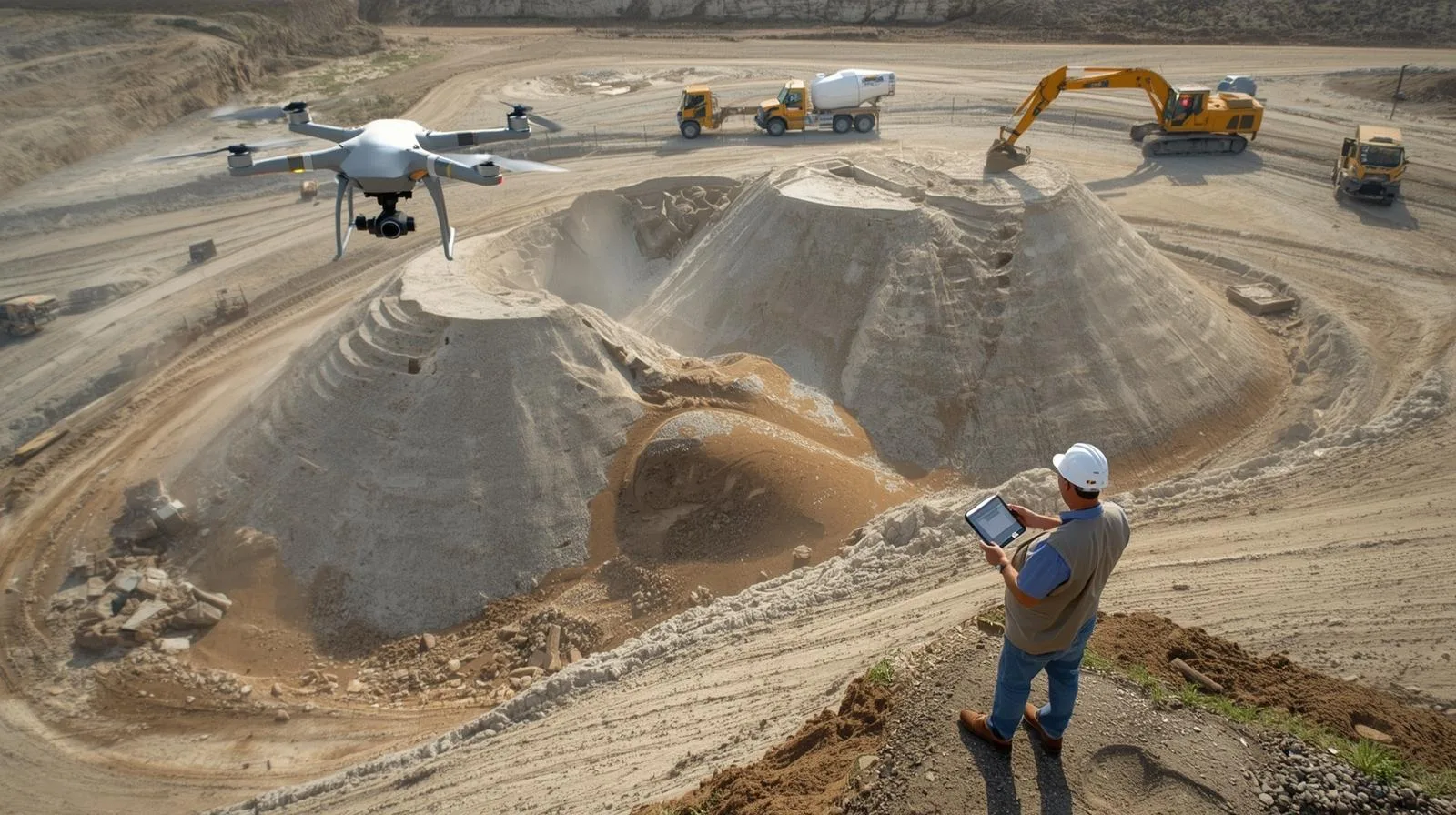
Hundreds of Polish construction sites already have our solutions in operation! Find out why we are useful throughout the investment process and why drone data on construction sites
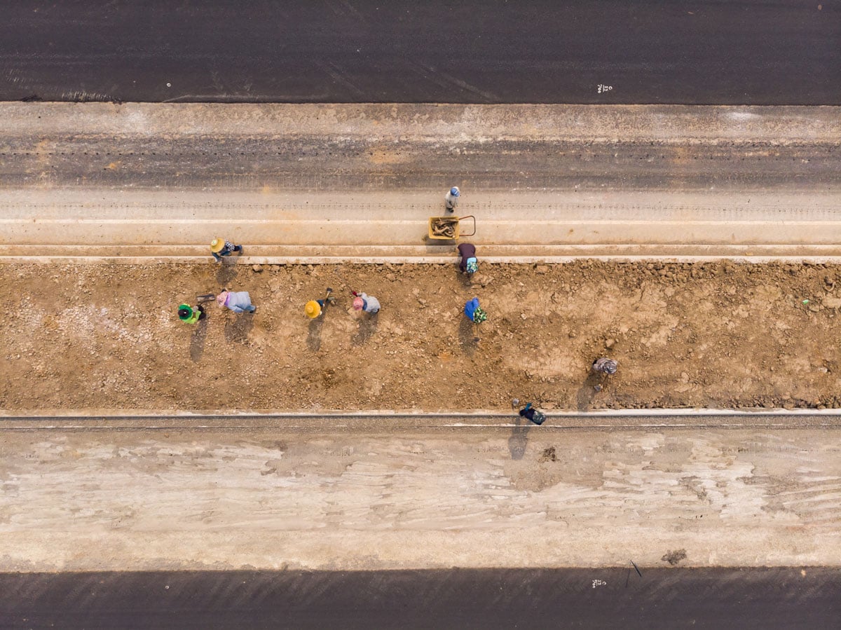
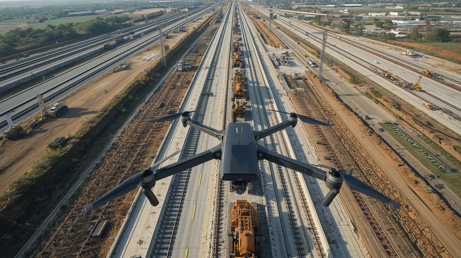
Building railroads and maintaining them is much more efficient with our solutions
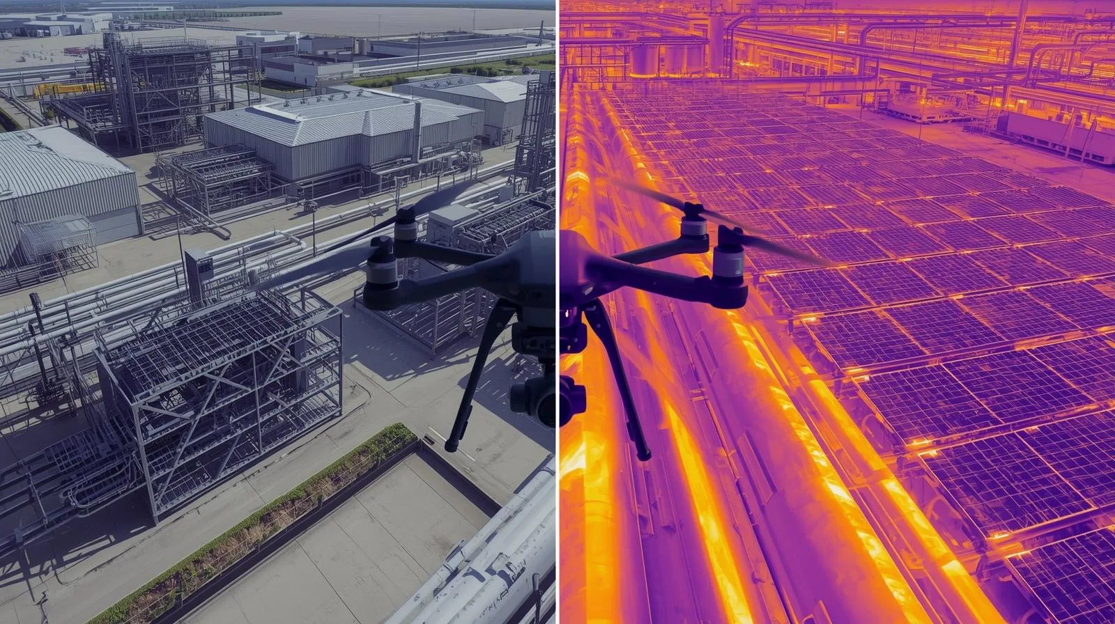
Drones and information collected from the air help maintain energy infrastructure
Telecommunications infrastructure in the form of digital twins provides new opportunities for maintenance through more complete and up-to-date information from the field
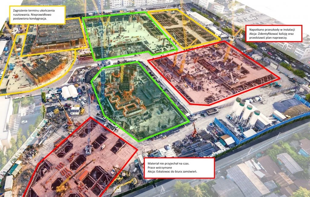
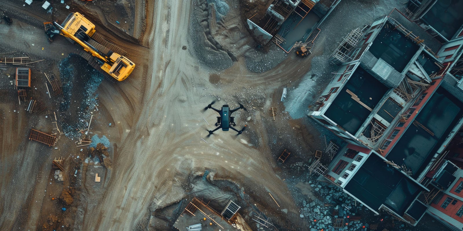
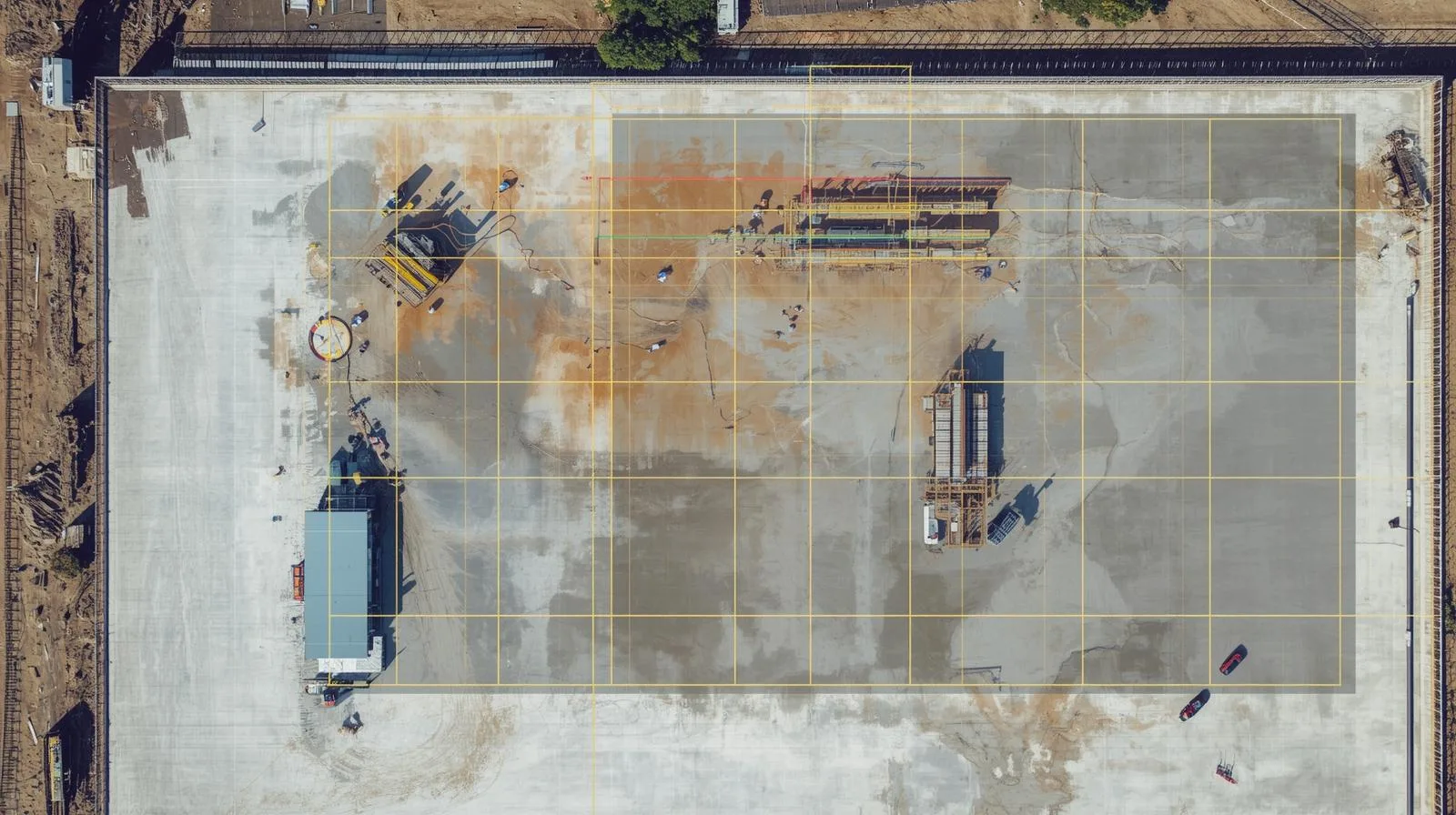
The dynamics of change on the construction site of industrial and logistics halls is high. Use drones and image analysis to effectively monitor the progress of work
With more information about the progress of construction work, you can more easily manage and check the status of the cubic construction project
Drones can quickly and easily gather information about a building. Its maintenance and non-invasive inspection become easier
Collecting, processing and presenting damage data has never been so easy
Up-to-date data and information from the field is the basis for making sound decisions in local government and setting development directions
Wiedza
Learn more, find out useful industry information and tips about our product
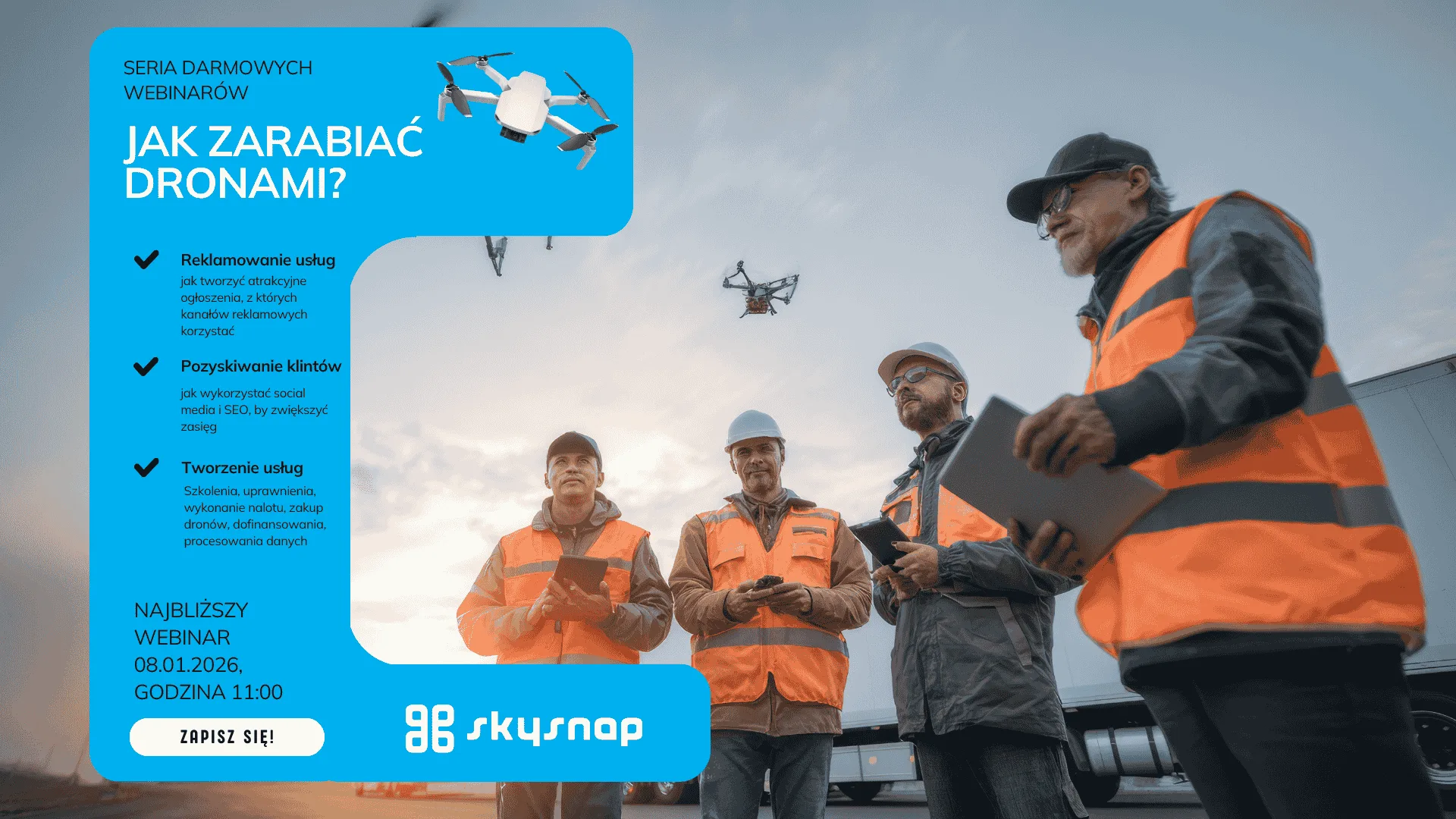
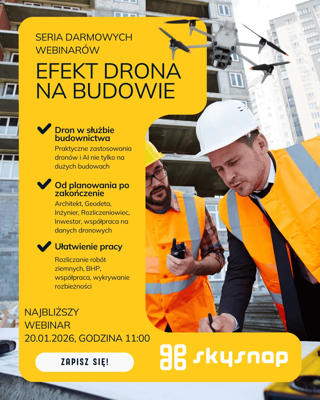
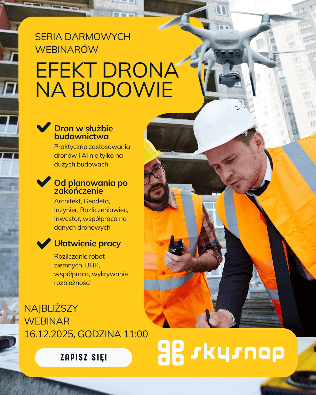
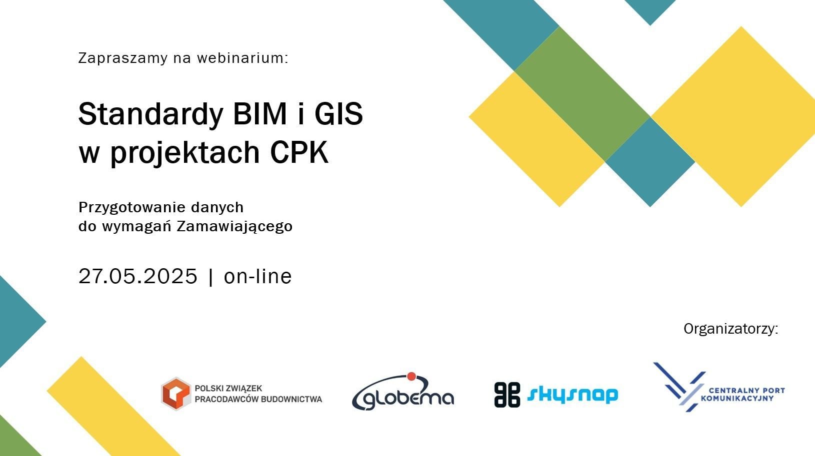
Watch our past Webinars and see what industry and product information you can get
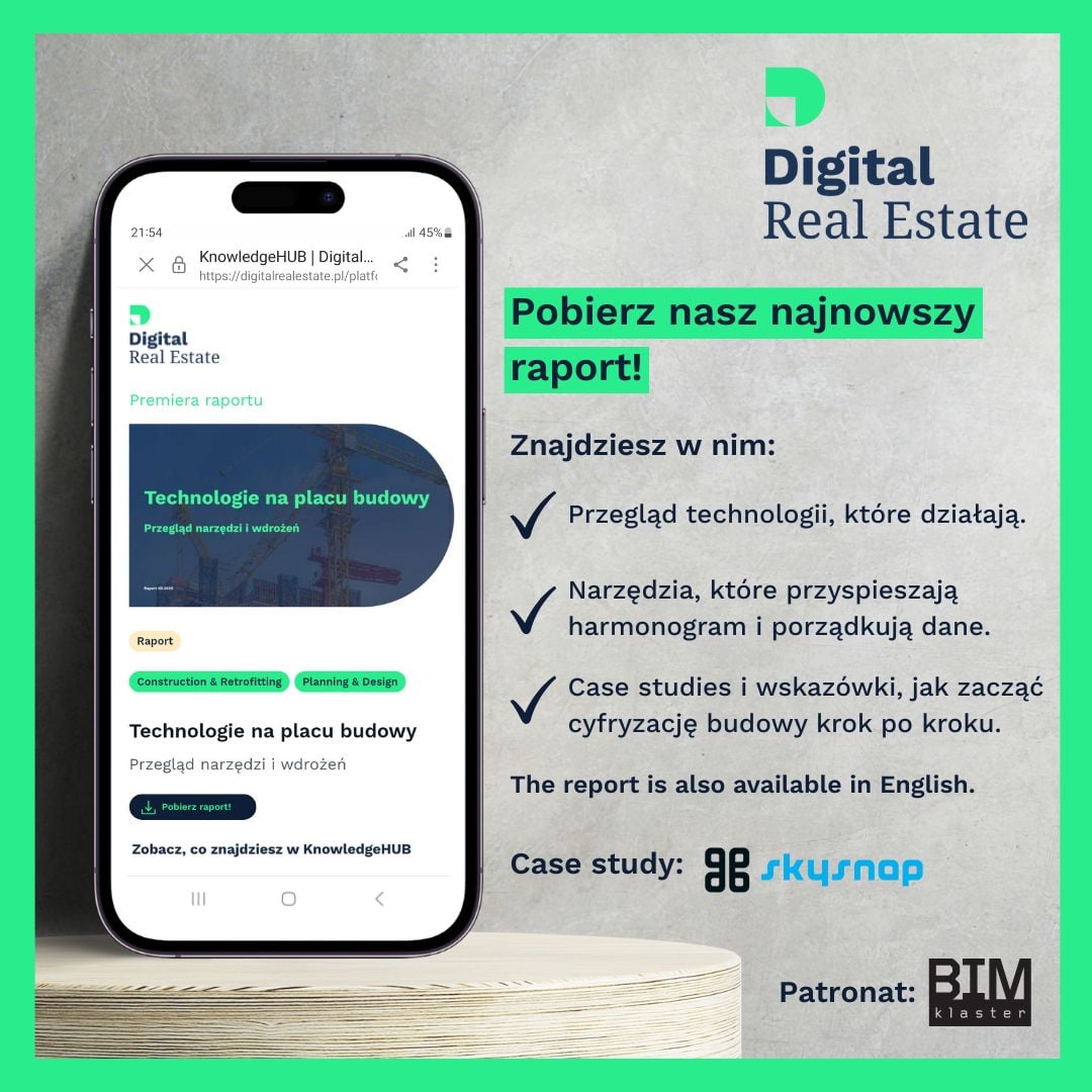
Check out our reports and e-books – we share industry knowledge, technology and best practices to help you run projects better and grow your business.
Wsparcie Klienta
Our service department is at the disposal of our customers. You don’t have to call overseas or try to solve the problem yourself
See how our solutions are used in their work by companies similar to yours
Browse the SkySnap Portal documentation and find answers to frequently asked questions.
Even at the bidding stage, cost estimators face the challenge of correctly pricing…
Najważniejsze informacje
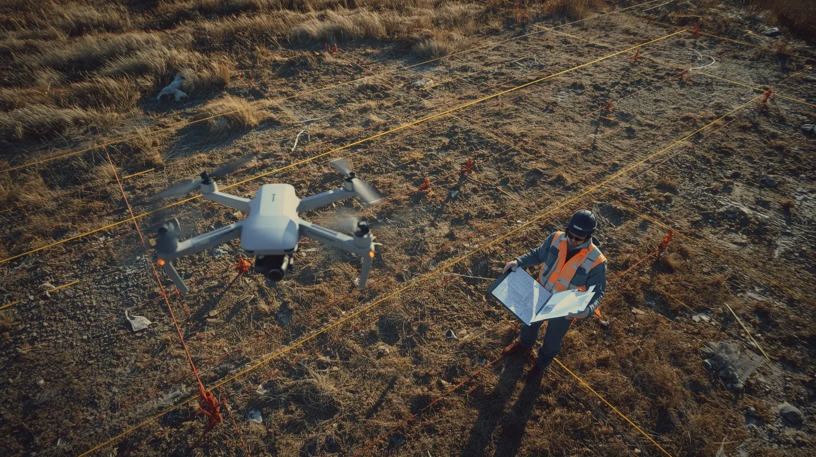
We help professionals make better decisions based on accurate data captured from drones
There’s a lot going on with us, check out what’s new with us
Not just for the media! If you want to find out what the media is writing about us, this is a good place to go
Współpraca
We cooperate in many ways with companies, organizations or individuals. If you want to start a wider cooperation with us – write!
Are you a satisfied user of SkySnap geoportal? Recommend us and earn
Join our amazing team
Kontakt
Sales
Marketing
Technical assistance


")
")

")
")