Drone reviews: Everything you need to know about survey drones – A beginner’s guide – SkySnap
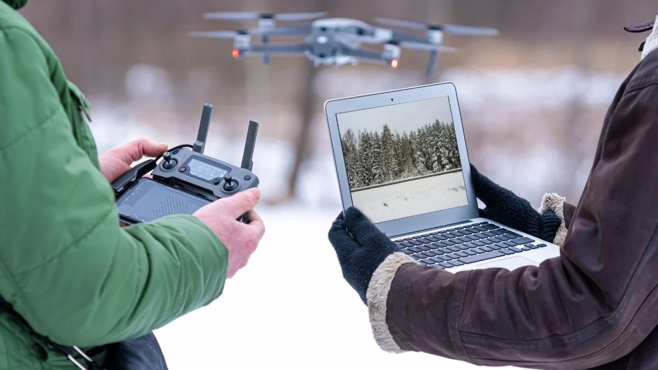
Survey drones have grown in popularity due to their ability to accurately and efficiently collect data from the air. Using advanced technologies such as GPS and high-resolution cameras, these devices have become an invaluable tool in many industries, from agriculture to construction. A survey drone allows you to quickly and accurately map terrain, monitor environmental changes or inspect hard-to-reach areas. In this beginner’s guide, we’ll take a look at how survey drones work, their applications and what to look for when choosing the right model. This will help you understand how to get the most out of a survey drone. You should also pay attention to the propeller guard, which is made of lightweight and durable carbon fiber, increasing the safety of the equipment during transport and flight.
Introduction to survey drones
What is a survey drone?
A survey drone is an unmanned aircraft that is specifically designed to collect data from the air. Equipped with advanced technologies such as GPS systems, high-resolution cameras and sensors, it enables precise mapping and monitoring of large areas. These drones are often used in various fields such as surveying, agriculture and construction, where precise spatial data is essential for decision-making. With their ability to collect data from hard-to-reach locations, survey drones are becoming increasingly popular among professionals who need accurate and timely information. Unlike traditional data collection methods, a survey drone offers faster and more efficient solutions, making it an invaluable tool in many industries.
History and development of technology
The development of survey drone technology dates back to the 1980s, when experiments began with unmanned aerial vehicles for military and research purposes.
Initially, drones were mainly used for surveillance and monitoring tasks. Over time, thanks to technological advances, their applications began to expand into other industries.
The introduction of advanced GPS systems and high-resolution cameras has made drones an indispensable tool in surveying and mapping. In addition, AI subject tracking enables automatic tracking of objects, which is particularly useful when recording dynamic scenes, increasing the quality of the video footage created.
Today, survey drones are used in many fields, combining data collection capabilities with precision and efficiency. Developments in technology have made it possible to create drones of various shapes and sizes, tailored to specific tasks, such as construction inspections or monitoring agricultural crops. As a result, survey drones are steadily gaining importance in the modern world of technology.
Types of drones
Drones come in different types, each designed for a specific purpose. They can be divided into several categories, including recreational drones, professional drones, survey drones and FPV drones.
Recreational drones are designed for people who want to enjoy a fun and relaxing flight. They are characterized by simplicity of operation and are often equipped with basic cameras that allow you to record videos and take aerial photos.
Professional drones are used for commercial purposes such as photography, filming and inspection. These models offer advanced features such as image stabilization, long flight times and high-quality cameras that can record Full HD or even 4K video.
Survey drones are specifically designed for data collection and inspection in various fields such as construction, agriculture and environmental protection. Equipped with advanced sensors and cameras, these drones can accurately measure altitude, temperature, humidity and other parameters, making them an invaluable tool in many industries.
FPV (First Person View) drones are designed for enthusiasts who want to experience flight from a first-person perspective. With real-time video capabilities, operators can control the drone as if they were on board themselves, providing an unforgettable experience and excitement.
Variety of survey drones
Survey drones are used in many fields, such as construction, agriculture and environmental protection. They are equipped with a variety of sensors and cameras that enable precise measurements and inspections.
For example, in the construction industry, survey drones can be used to create accurate 3D models of buildings and sites, making it easier to plan and monitor the progress of work.
In agriculture, survey drones are used to monitor crop health, analyze soil and assess plant health. With advanced multispectral cameras, farmers can quickly identify areas in need of intervention, allowing for more efficient resource management.
In the environmental field, survey drones are used to monitor changes in ecosystems, study air and water quality, and track animal migrations. With real-time data collection capabilities, these drones provide valuable information to help make environmental decisions.
Applications of survey drones
Geodesy and cartography
Survey drones have gained recognition in surveying and mapping due to their ability to collect field data quickly and accurately. The drones’ predictable flight time, which is typically 20 to 30 minutes, allows for better planning of surveying operations.
Traditional surveying methods often require a great deal of time and resources, while drones can significantly shorten the process. Equipped with advanced LiDAR cameras and sensors, drones are able to generate precise terrain models and produce detailed 3D maps. This allows surveyors to plan and execute survey work more efficiently, as well as conduct analysis of landform changes.
Survey drones are also used in monitoring infrastructure to help assess its condition and plan maintenance. Using these modern tools, surveying and mapping professionals can not only increase the efficiency of their work, but also minimize the risk of measurement errors, which is crucial for the accuracy of the data produced.
Infrastructure inspections
Survey drones play a key role in infrastructure inspections, offering cutting-edge solutions for monitoring and assessing the condition of various facilities.
Equipped with high-resolution cameras and thermal imaging sensors, drones can quickly and accurately inspect the condition of bridges, power lines, telecommunications towers or pipelines. Traditional inspection methods often require taking the facility out of service and involving workers in dangerous operations. Drones eliminate these problems, allowing inspections to be carried out safely and quickly without disrupting infrastructure operations.
In addition, the data collected by the drones can be easily analyzed, allowing quick detection of potential faults and planning of corrective actions. This makes survey drones an invaluable tool for infrastructure management companies seeking to increase the efficiency of their processes and minimize the risk of failure.
Choosing the right survey drone
Key features and specifications
When choosing a survey drone, it is crucial to understand its features and specifications, which will affect its operational efficiency and effectiveness.
- First of all, it is important to pay attention to the range and flight time of the drone, as these parameters determine the area that can be explored during a single mission. Drones with longer flight times and longer ranges are ideal for larger and more extensive projects. It’s also worth considering fly more combo kits that offer additional accessories, such as extra batteries, which significantly increase flight time and recording capabilities.
- Another important aspect is the quality of cameras and sensors, such as LiDAR, which affect the accuracy of the data collected. High-resolution cameras and precise sensors allow for detailed maps and analysis.
- Consideration should also be given to the drone’s durability and weather resistance, which is crucial in harsher operating environments.
The final choice should be tailored to the specific needs of the project and the industry in which the drone will be used.
Drone features
Drones are distinguished by a number of features that make them versatile and effective tools.
One of the most important features is their ability to fly and move in different directions, which allows for accurate inspections and measurements from the air.
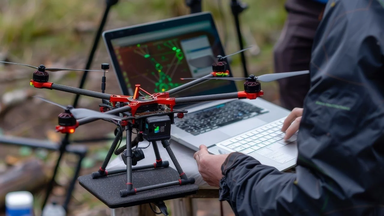
Drones are also equipped with advanced cameras and sensors to collect data and create detailed images and maps. Drones can transmit video in real time, allowing operators to observe objects and areas from different perspectives. This makes it possible to react quickly to changing conditions and make decisions based on up-to-date information.
Navigation systems, such as GPS, allow precise control and steering of drones, which is key to their effective use. The drones are also equipped with automatic return to the takeoff point and automatic landing functions, making operations safer.
Comparison of popular models
There are many models of survey drones on the market, each offering unique features and specifications tailored to different applications.
The DJI Mini 4 Pro is an advanced drone that combines a compact design with professional photo and video features. Among the most popular are
- DJI Phantom 4 RTK,
- Parrot Anafi USA,
- senseFly eBee X.
The DJI Phantom 4 RTK stands out for its precise GPS system and high-resolution camera, making it an ideal choice for surveyors.
Parrot Anafi USA is a model that offers great versatility thanks to its tough weather resistance and advanced thermal imaging camera, which is useful for infrastructure inspections.
The senseFly eBee X, on the other hand, is lightweight and has a long flight time, allowing for efficient mapping of vast areas.
Choosing the right model depends on the specific needs of the user, such as requirements for flight time, image quality and the conditions in which the drone will be used.
Safety and regulation
Drone legislation
Legislation on drone use is key to ensuring safety in the airspace and protecting citizens’ privacy. In Poland, drone use is regulated by the Civil Aviation Authority, which requires drones weighing more than 250 grams to be registered and to obtain the appropriate permits for commercial flights.
Drone operations must comply with the rules set forth in the airspace regulations, which includes restrictions on flight altitudes and flying over people and near airports.
In addition, drone operators must undergo proper training and obtain certifications to prove their skills. Compliance with these regulations is essential to avoid legal sanctions and ensure safe drone use.
Their implementation is aimed at minimizing the risk of collisions and incidents and protecting personal data, which is particularly important in the context of the intense development of drone technology.
Security best practices
Safety of drone operations is a priority for any operator.
- Propeller guards offer additional safety when learning to fly, which is especially important for novice users.
- First of all, before each flight, you should carefully check the drone’s technical condition, including the battery level, the operation of the motors and the condition of the propellers.
- It is also crucial to monitor weather conditions, as strong wind or precipitation can significantly affect flight stability.
- Operators should have a clear flight plan that takes into account potential obstacles and no-fly zones.
- It is important to always maintain visual contact with the drone and avoid flying over people to minimize the risk of accidents.
In addition, all operations should comply with local drone laws and regulations. Regular training and knowledge updates on safety best practices are the next step in ensuring safe drone use, which is key to protecting both people and property.
Drones and the environment
Drones can have a significant impact on the environment, both positive and negative.
The positive impact of drones on the environment is related to their use for nature monitoring and conservation. Drones can be used to monitor air and water quality, track changes in ecosystems, and protect endangered animal and plant species.
Drones are also being used to monitor hard-to-reach areas such as rainforests, mountains and polar areas, allowing valuable data to be collected without interfering with the natural environment. This makes it possible to better understand and protect nature.
However, drones can also have a negative impact on the environment, especially if they are used irresponsibly. Noise generated by drones can disturb wildlife, and air pollution caused by their engines can affect air quality.
Therefore, it is important for drone users to be aware of their environmental impact and follow regulations and guidelines for their use.
Environmental impact of drones
The environmental impact of drones depends largely on how they are used and operated. If drones are used responsibly and in accordance with regulations, they can have a positive impact on the environment. For example, drones can be used to monitor the state of the environment, identify hazards and take protective measures.
However, irresponsible drone use can lead to negative consequences, such as wildlife disturbance, air pollution and noise pollution. Therefore, it is important for drone operators to be aware of their environmental impact and follow regulations and guidelines for their use.
Following the principles of responsible drone use, such as avoiding flights over protected areas and minimizing noise, can help minimize the negative impact of drones on the environment. In this way, drones can be used in a way that benefits both people and nature.
The future of survey drones
Technological innovations
The future of survey drones is extremely exciting thanks to dynamic technological innovations that are constantly expanding their functionality.
- One of the key areas of development is the integration of artificial intelligence and machine learning, allowing drones to operate more autonomously and precisely. This allows drones to analyze data in real time and make decisions based on the information gathered.
- In addition, intelligent flight modes enable automatic actions such as object tracking and obstacle avoidance.
- Another major innovation is the advancement in battery technology, which enables longer flight times and higher performance, which is crucial for extensive survey projects.
- 5G technology also plays a significant role, providing faster and more reliable data transmission between drones and operators.
As survey drones become more advanced, their use in industries such as construction, agriculture and environmental protection will expand, offering new opportunities and making operations more efficient.
Anticipated development directions
The future of survey drones abounds with promising developments that could revolutionize many industries.
The maximum flight speed of drones affects their effectiveness in dynamic situations, which is an important factor in evaluating their capabilities.
One of the most important trends is the development of hybrid drones, which combine the features of different types of drones to offer greater versatility and the ability to operate in diverse conditions.
Automating the process of analyzing data collected by drones is another area that is growing in importance, enabling faster and more precise processing of information. With increasing environmental requirements, survey drones can play a key role in monitoring climate change and managing natural resources.
In addition, drones are expected to be increasingly integrated with other technologies, such as the Internet of Things (IoT), allowing for even more advanced collaboration and data sharing.
These innovative directions point to the growing importance of survey drones in the future and their potential to make a significant difference.

Free E-book
Learn what services to offer, who to sell them to, and how to write an effective offer email. Ready-made templates, tips and examples of campaigns that really work.
Table of Contents:
Do you like the article? Share it with others!
Do you like the article? Share it with others!
Tips, news, insights
Related articles
Check out our articles and get the latest industry news.


")
")

")
")