Measuring land and buildings, environmental monitoring, or use in the film industry – the possibilities for using drones are extensive. However, the main reason why experts are increasingly choosing these small, high-tech devices is not accuracy, but precision and speed of data acquisition. This is what makes measurement not only a faster, but also a more accurate process.
Drone apparatus
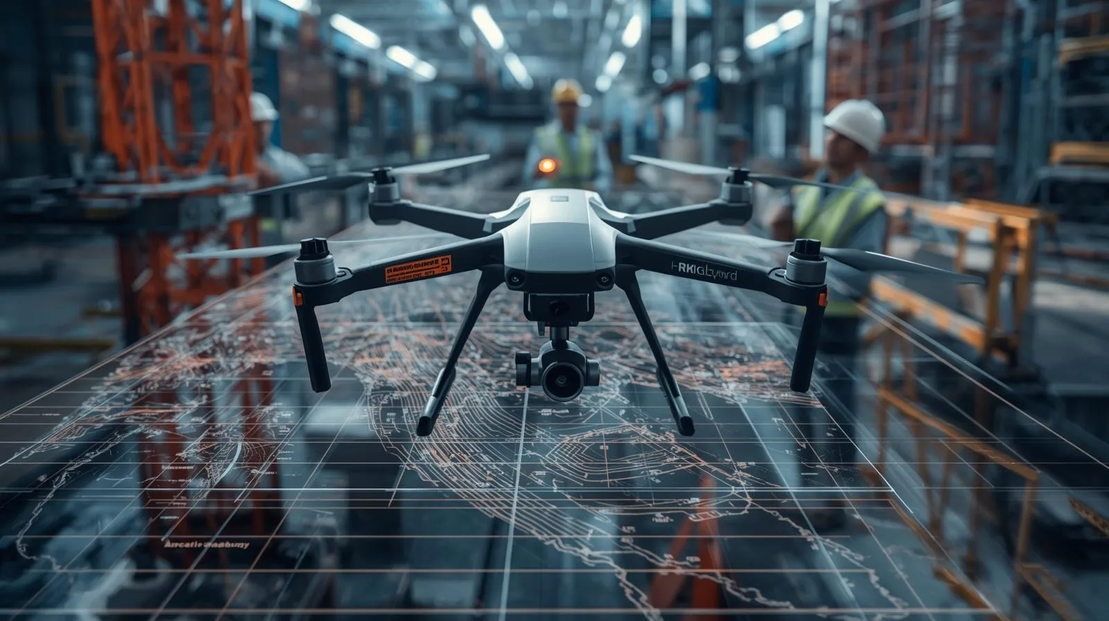
Drones, also popularly known as unmanned aerial vehicles (UAVs), are not just complex algorithms and control systems. It’s first and foremost advanced measurement apparatus and sensors that enable precise surface surveys. This is what makes drone data often more accurate than that obtained using traditional measurements.
Speed and availability
The second reason why experts are increasingly turning to drones is the speed at which these devices are able to operate. Measurement work using traditional techniques is often weeks or even months of hard work. Drones are able to make the same measurement in a matter of hours or days, and the results are available virtually instantly. The high availability of data is another reason why drones are so readily used today.
Versatility of drones
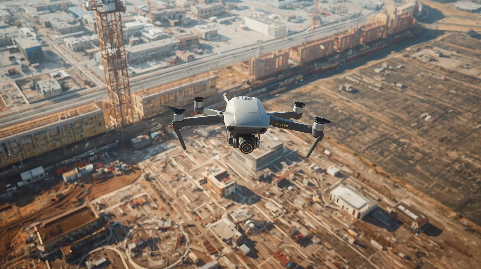
The possibility of using drones in a wide variety of industries is another reason for their popularization. Indeed, these small devices can be used not only for measurement and monitoring, but also in the film industry, advertising, and even agriculture. Versatility is a feature that many traditional measurement techniques lack.
Safety of use
Last, but not least, the argument for using drones is safety. By using drones for measurements, especially of hard-to-reach places, we are not putting ourselves in danger. Traditional measurements such as surveying or topography involved risks to the health and lives of workers, while drones allow us to take safe and accurate measurements from the air.
In conclusion, measurement accuracy, speed, versatility and safety are just a few of the many reasons to replace traditional measurement methods with drone technology. Continued technological development, while interest in these devices is growing, proves that drones are the future of measurement.
Tips, news, insights
Related articles
Check out our articles and get the latest industry news.


")
")

")
")