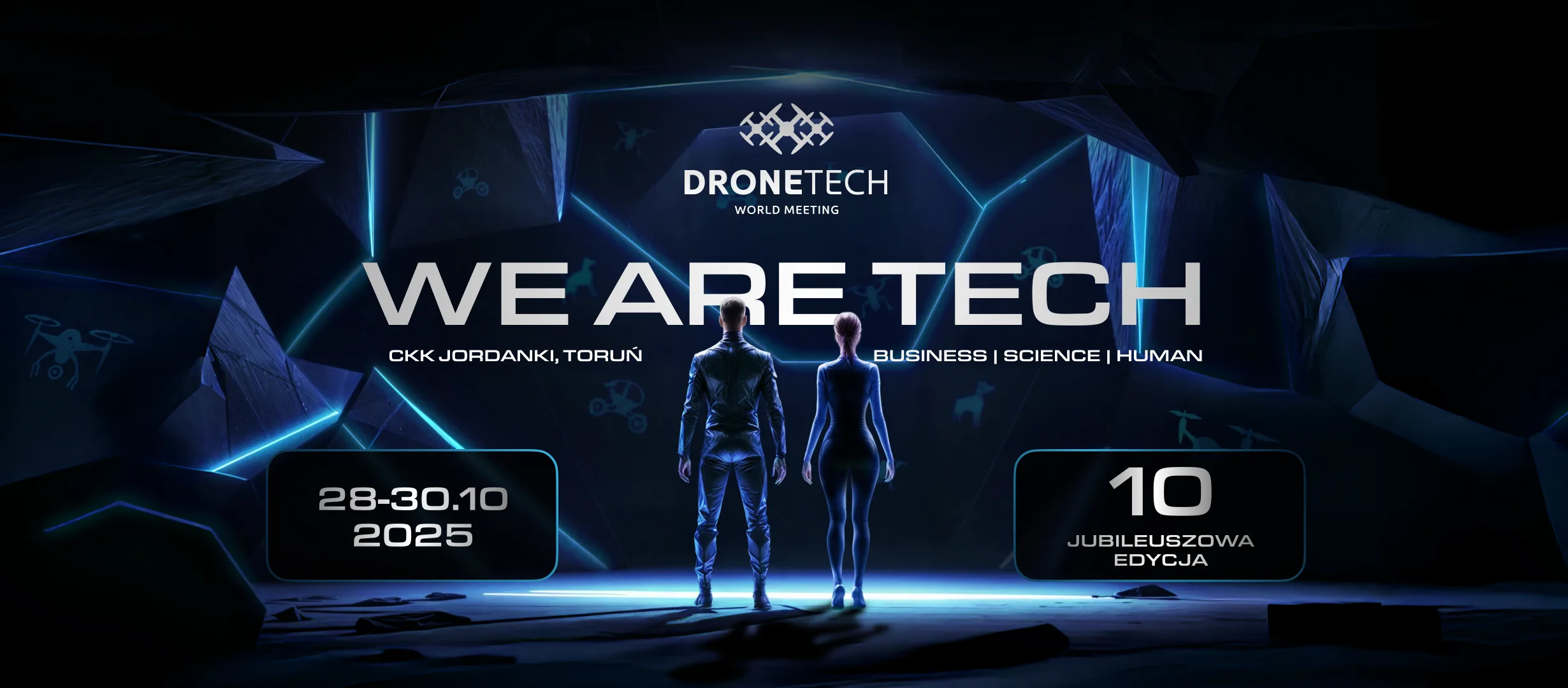
What’s in store for DroneTech 2026 participants?
The 11th edition of DroneTech World Meeting is the meeting place for people who are really creating the future of unmanned and autonomous technologies. In 2026, the event will again combine a conference, trade show, technology demonstrations and business meetings.
During DroneTech 2026, attendees will be able to:
- 🚀 S ee the latest drone solutions
Technology demonstrations, in-flight presentations, and hands-on hardware and software tests. - 🧭 Take part in conference and expert panels
Talks about the future of drones, spatial data, automation and real-world deployments. - 🤝 Meet industry leaders and establish B2B contacts
Networking, sharing experiences and initiating joint projects. - 🛰️ See drones in action
Demonstration flights and simulations carried out under realistic operational conditions.
For more information, visit the event website: dronetechpoland.com
SkySnap at DroneTech World Meeting 2026
SkySnap will be present as an exhibitor at the 11th DroneTech World Meeting. At our booth, we will show how drone data and modern analytical tools support decision-making processes in business and investment.
We will present practical applications of our solutions in areas such as:
- construction and investments,
- surveying and measurements,
- infrastructure management,
- spatial data analysis and visualization.
What will you see at the SkySnap booth?
🔍 SkySnap Platform in action
Photogrammetric project management, data analysis, and 3D visualizations.
💬 Conversations with the SkySnap team
About real-world applications of drones and aerial data in commercial projects.
🧩 Implementation examples and case studies
Specific use cases showing how clients utilize SkySnap in practice.
Join us in Torun!
📍 Where: CKK Jordanki
📅 When: October 19-21, 2026
🎉 Meet: the SkySnap team and the DroneTech community
👉 Admission to the event is free by pre-registering online:
Register here
Visit the SkySnap booth and see what the future of drone data work looks like.
See you at DroneTech World Meeting 2026 – 11th edition.
Tips, news, insights
Related articles
Check out our articles and get the latest industry news.


")
")

")
")