Skip to content
Blog:
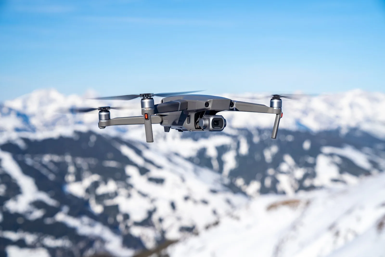
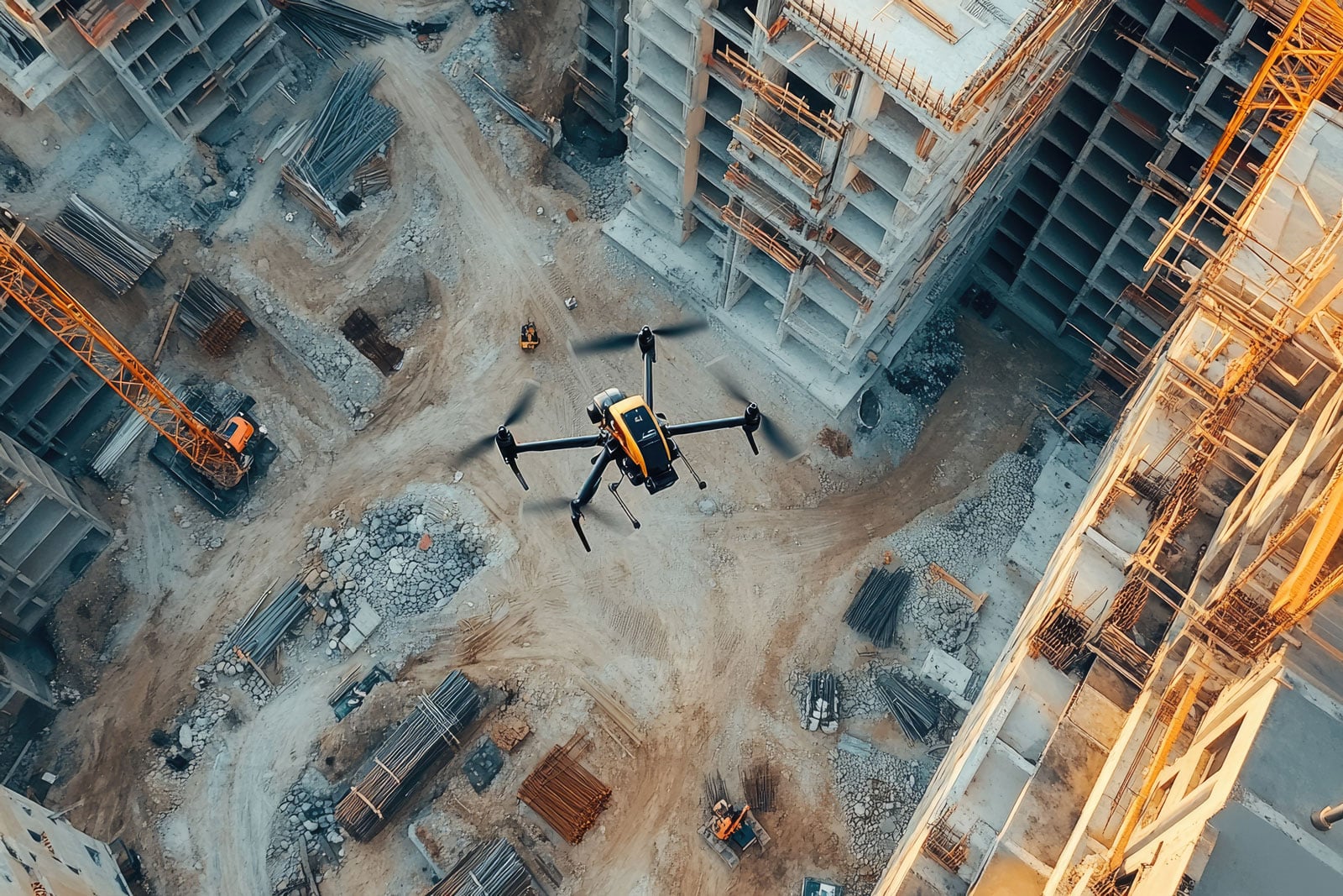
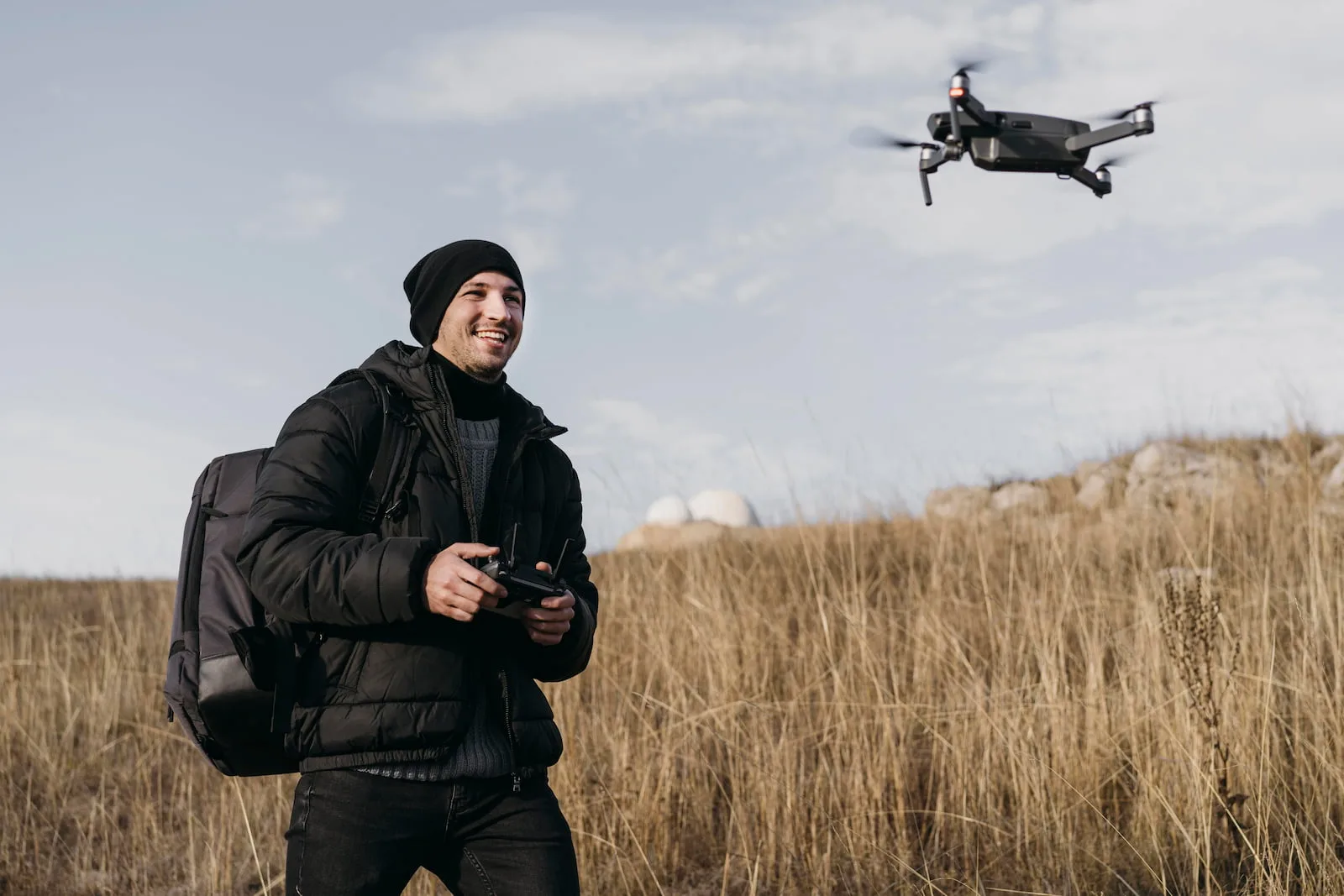
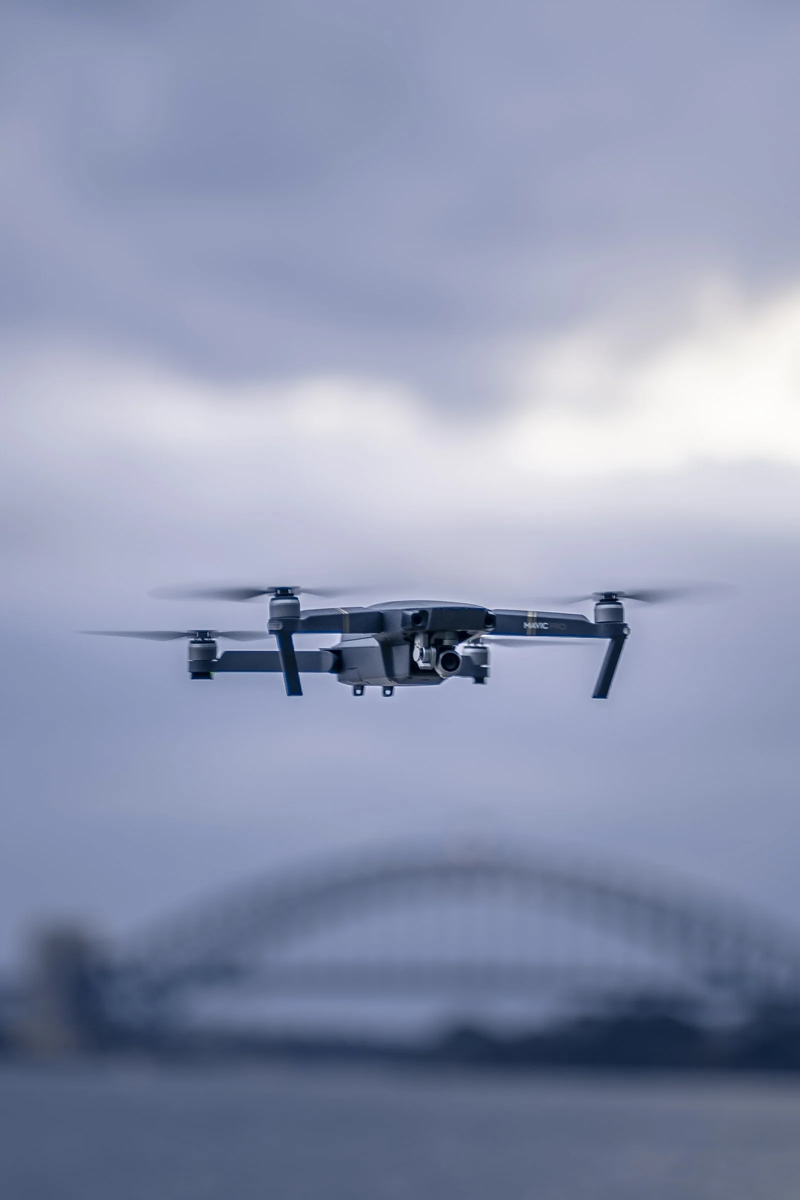
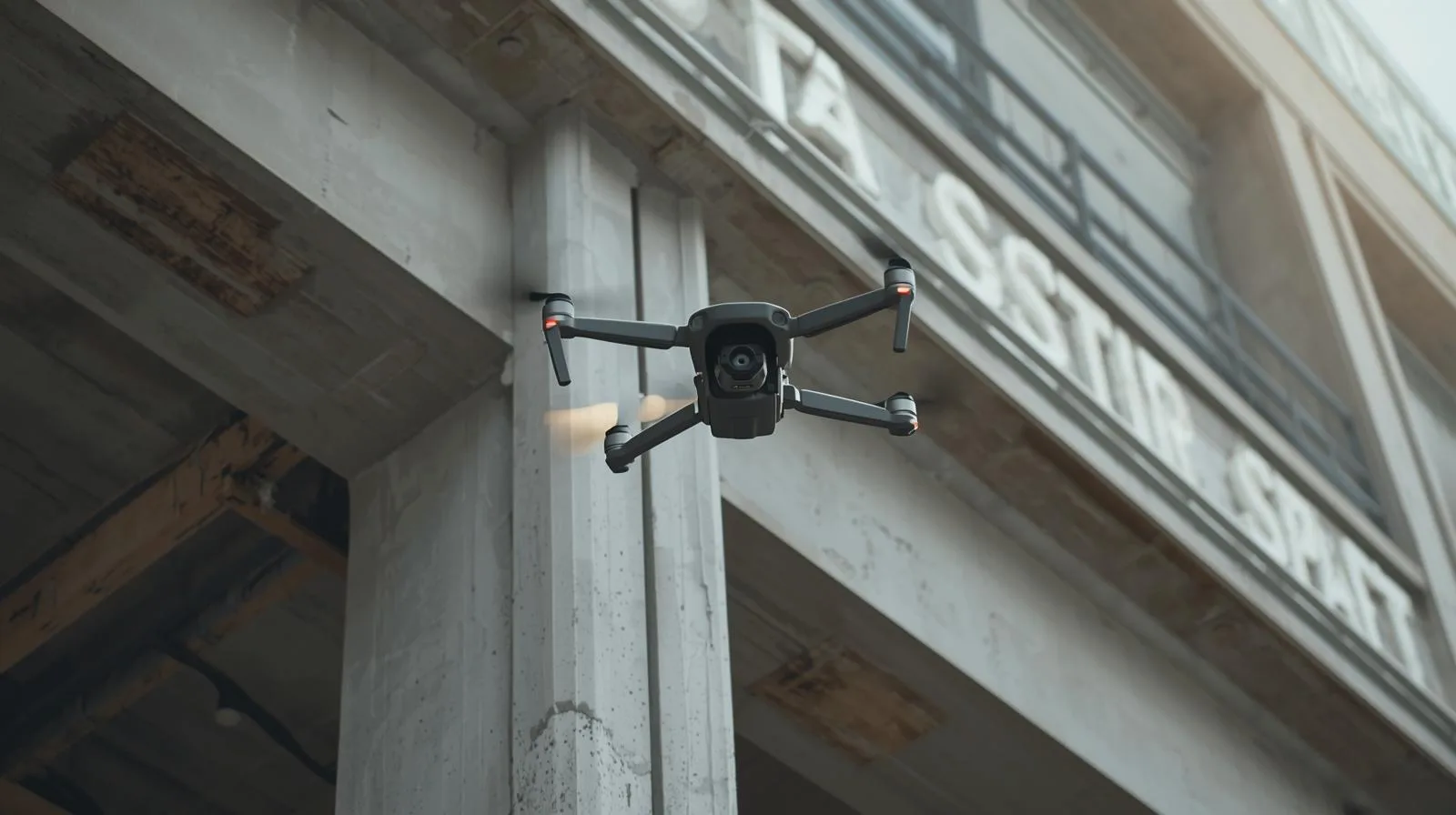
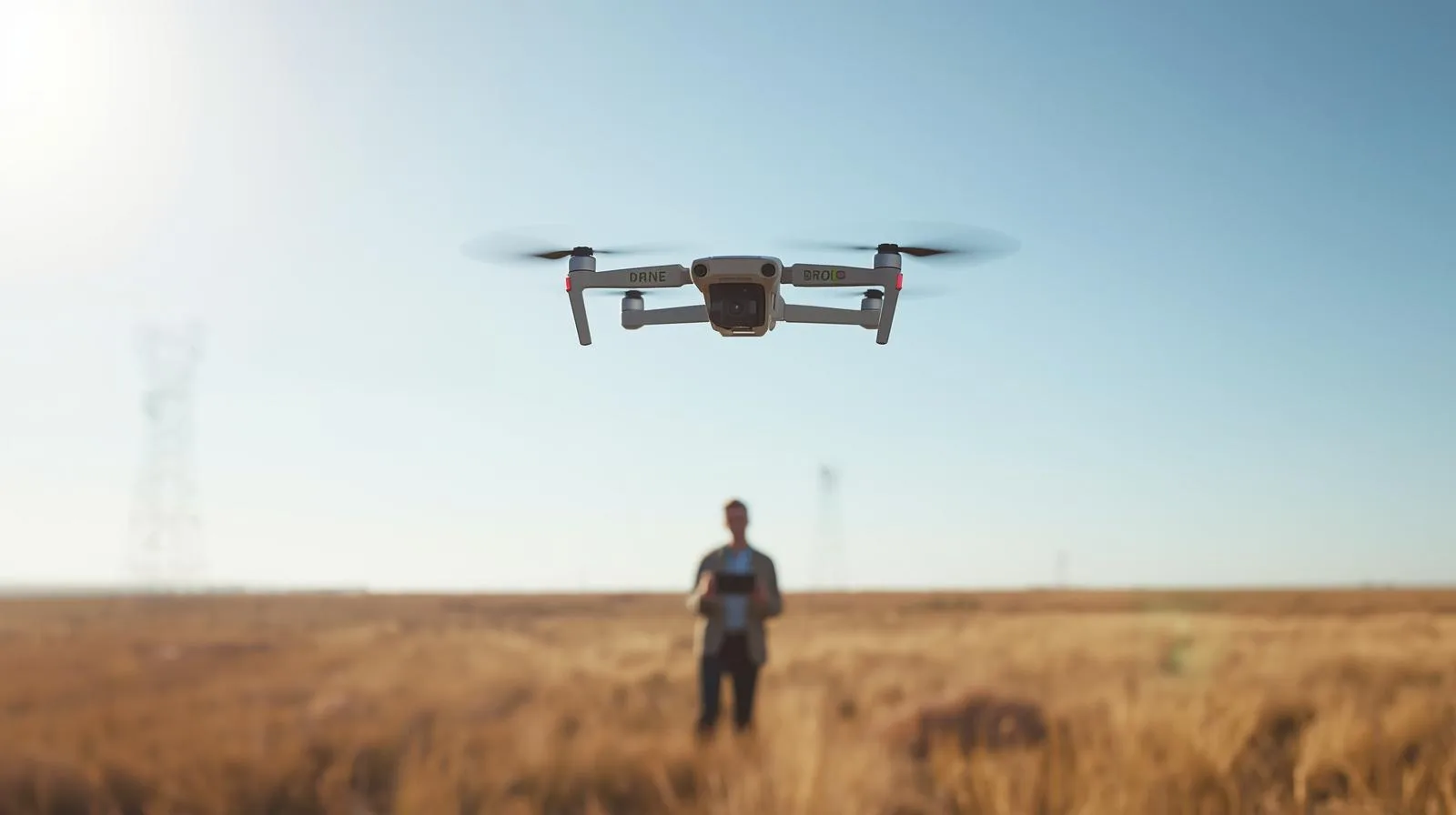
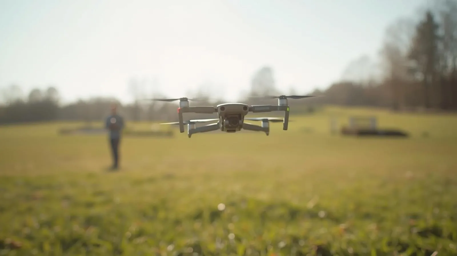
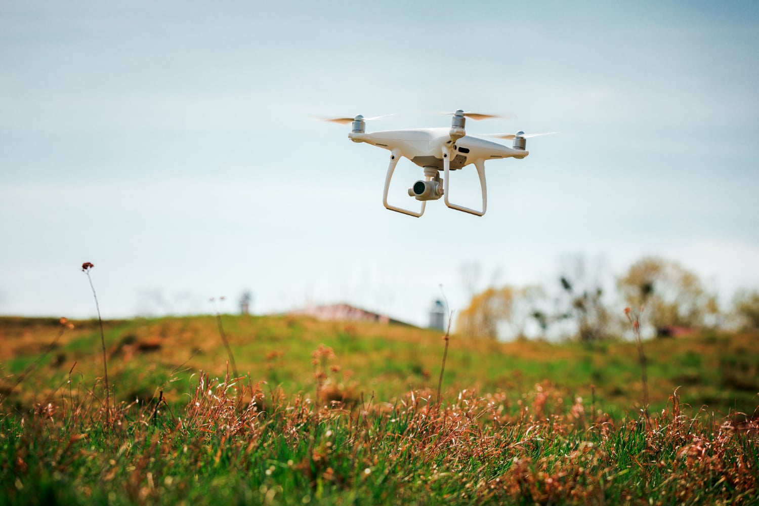
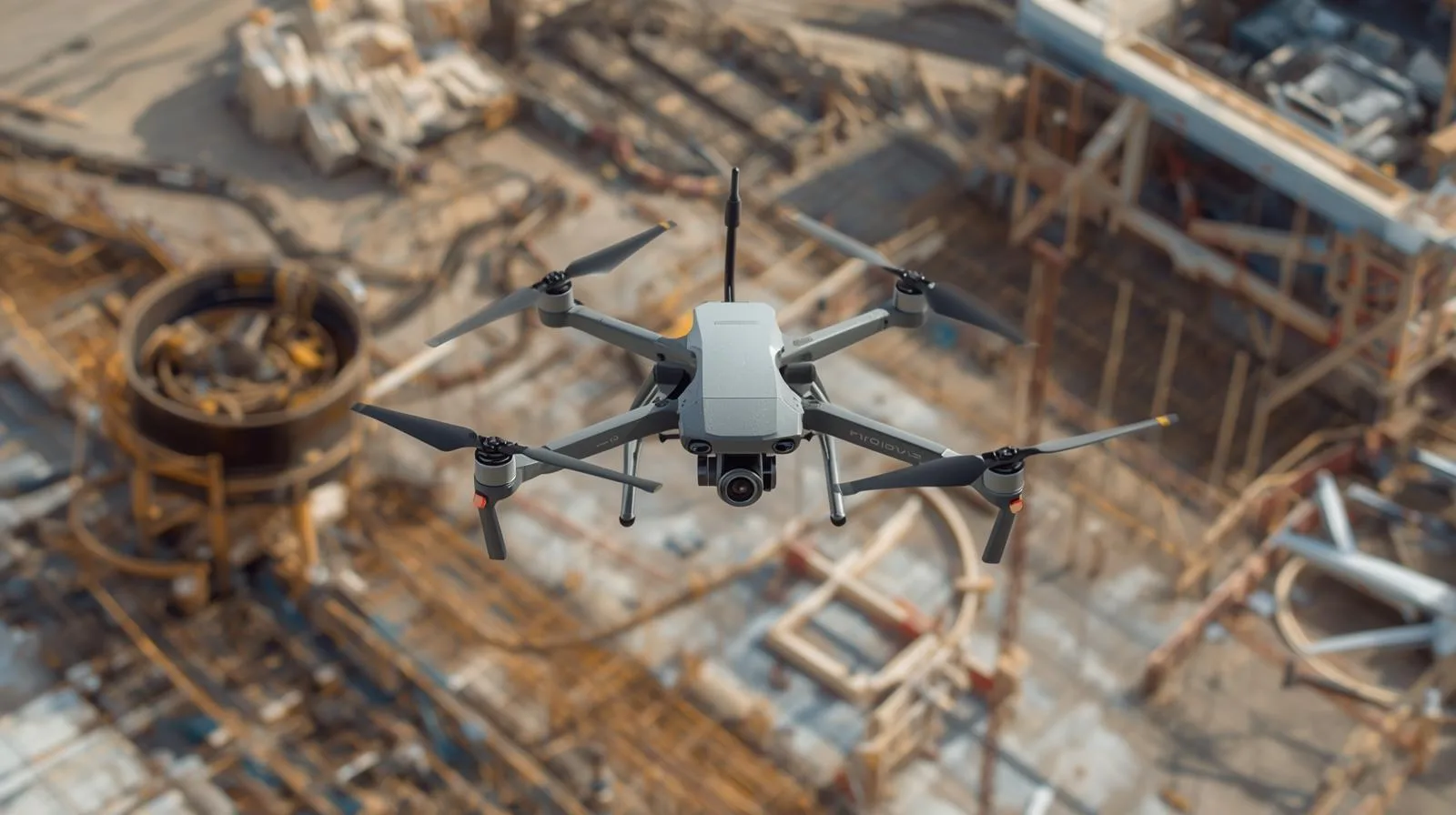
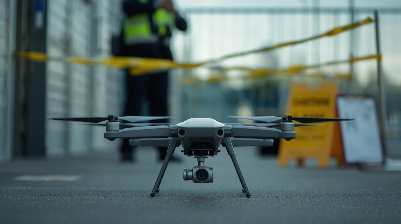
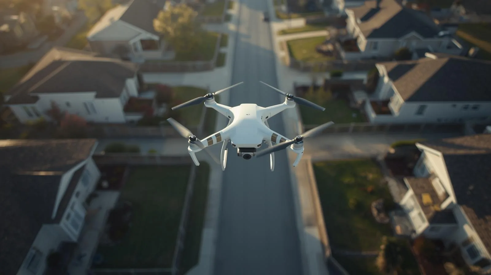
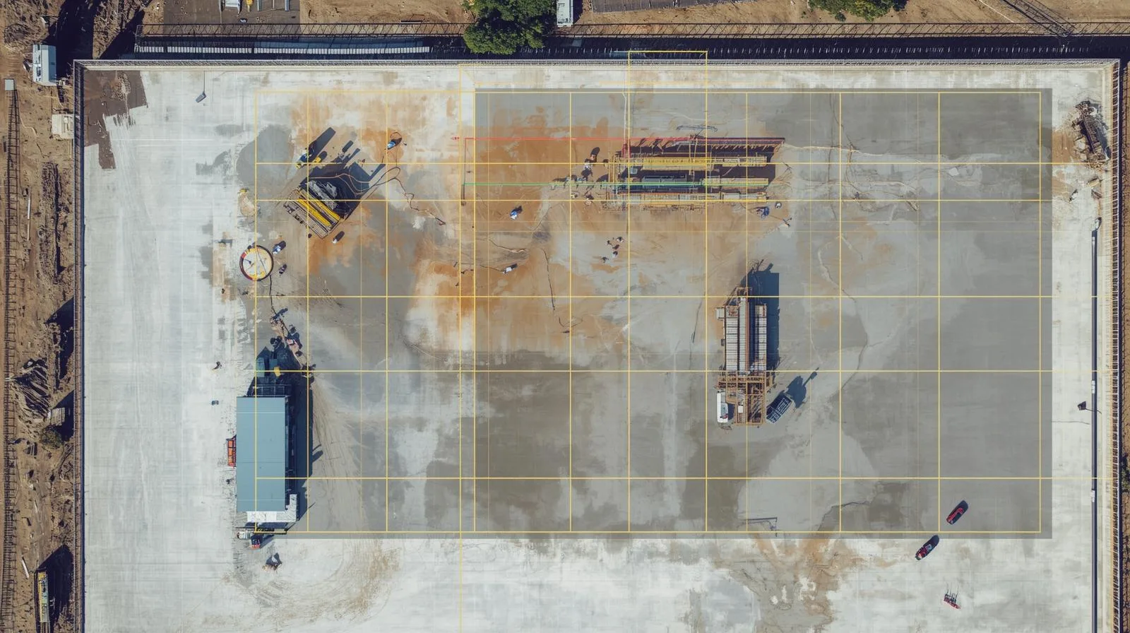
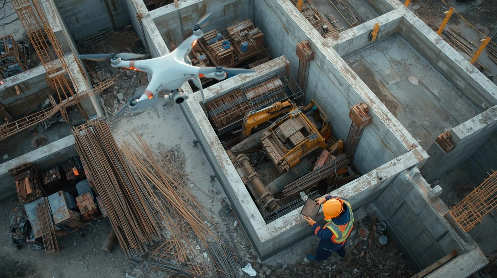
How are drones changing property condition management? Diagnostics start with the roof.
|
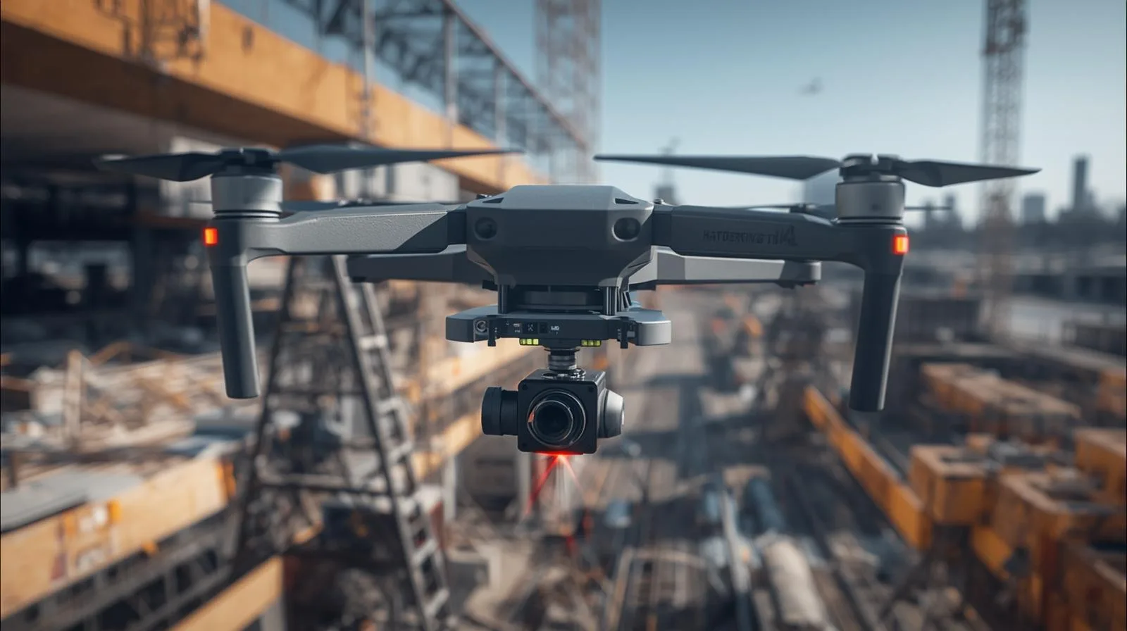
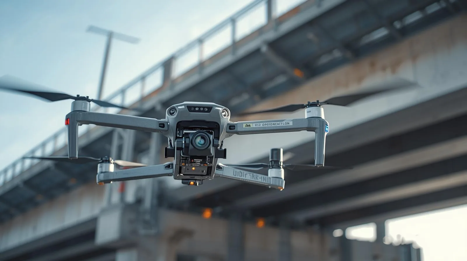
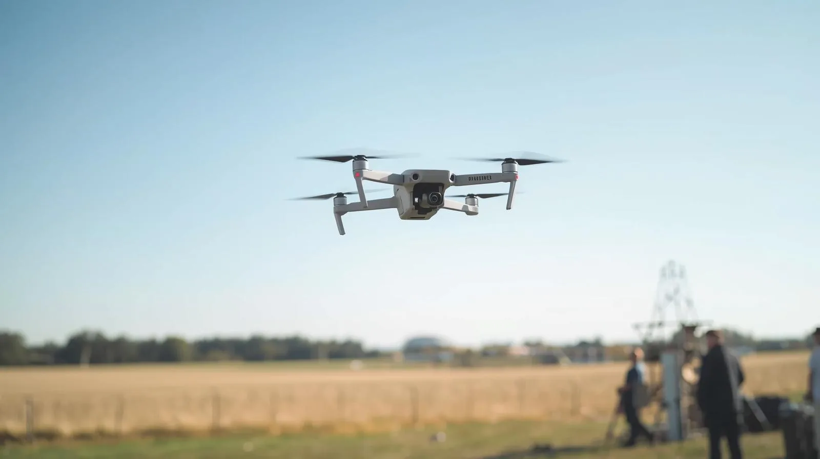
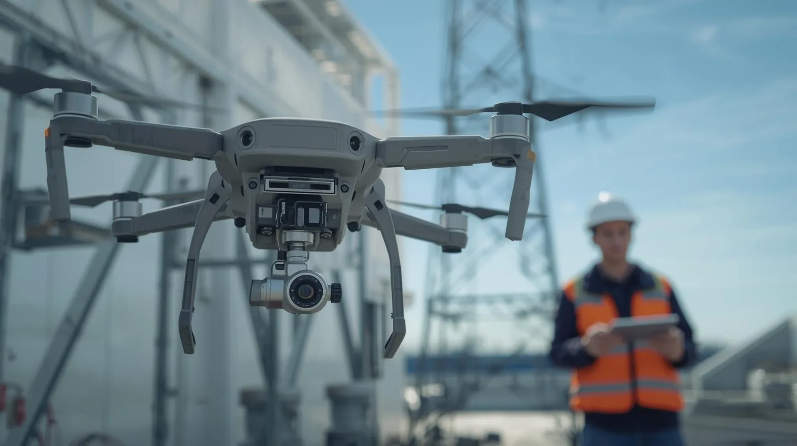
Surveyor’s Day with professional field support. DJI Matrice 4E and 4D Combo with Portal SkySnap package
|
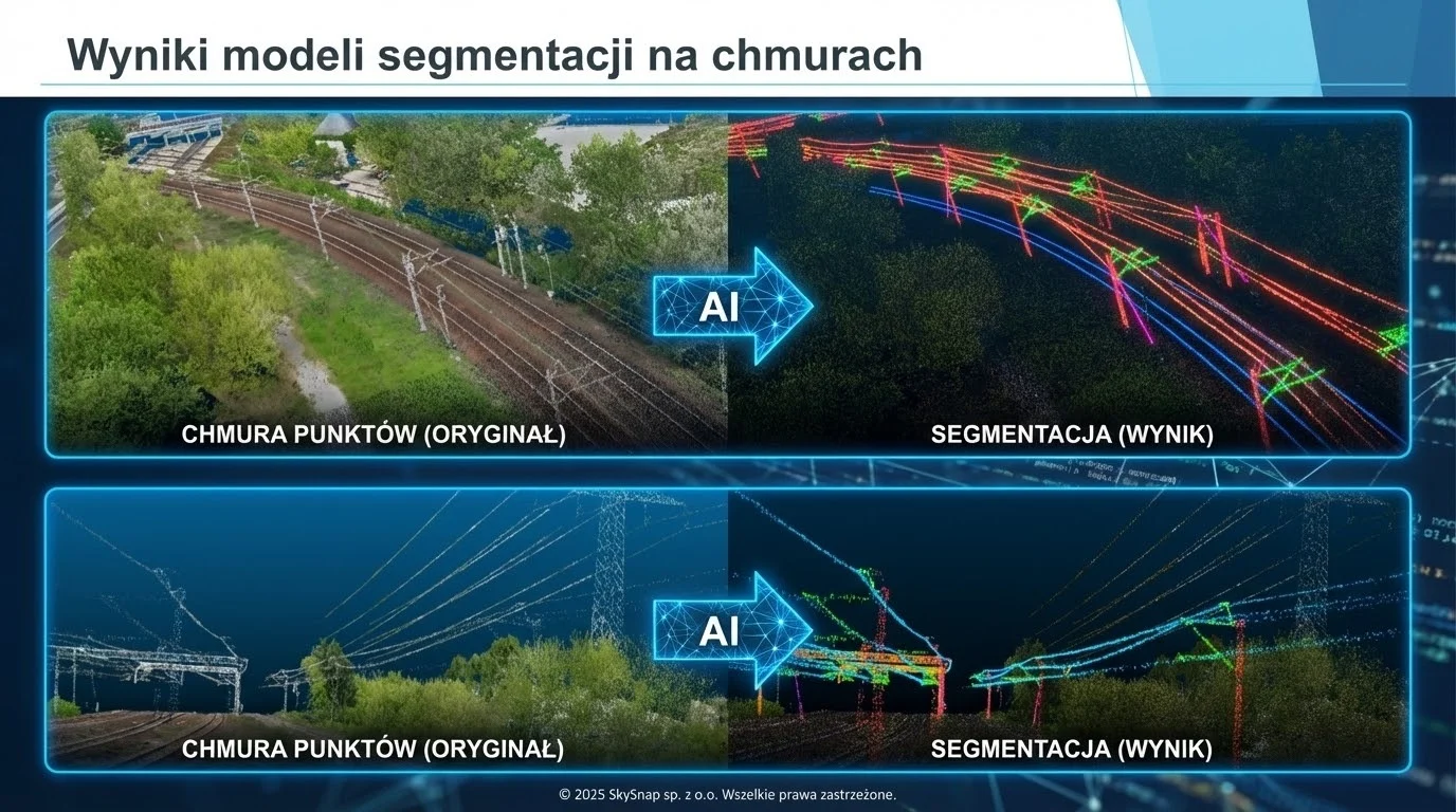
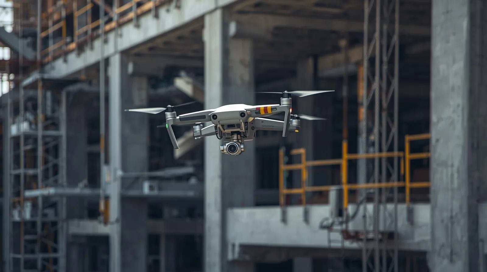
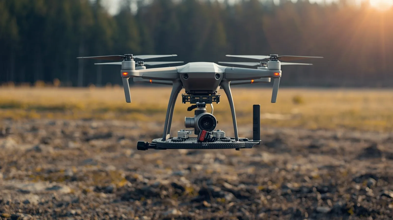
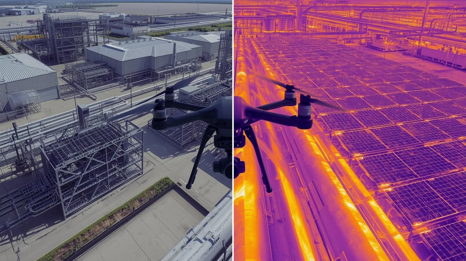
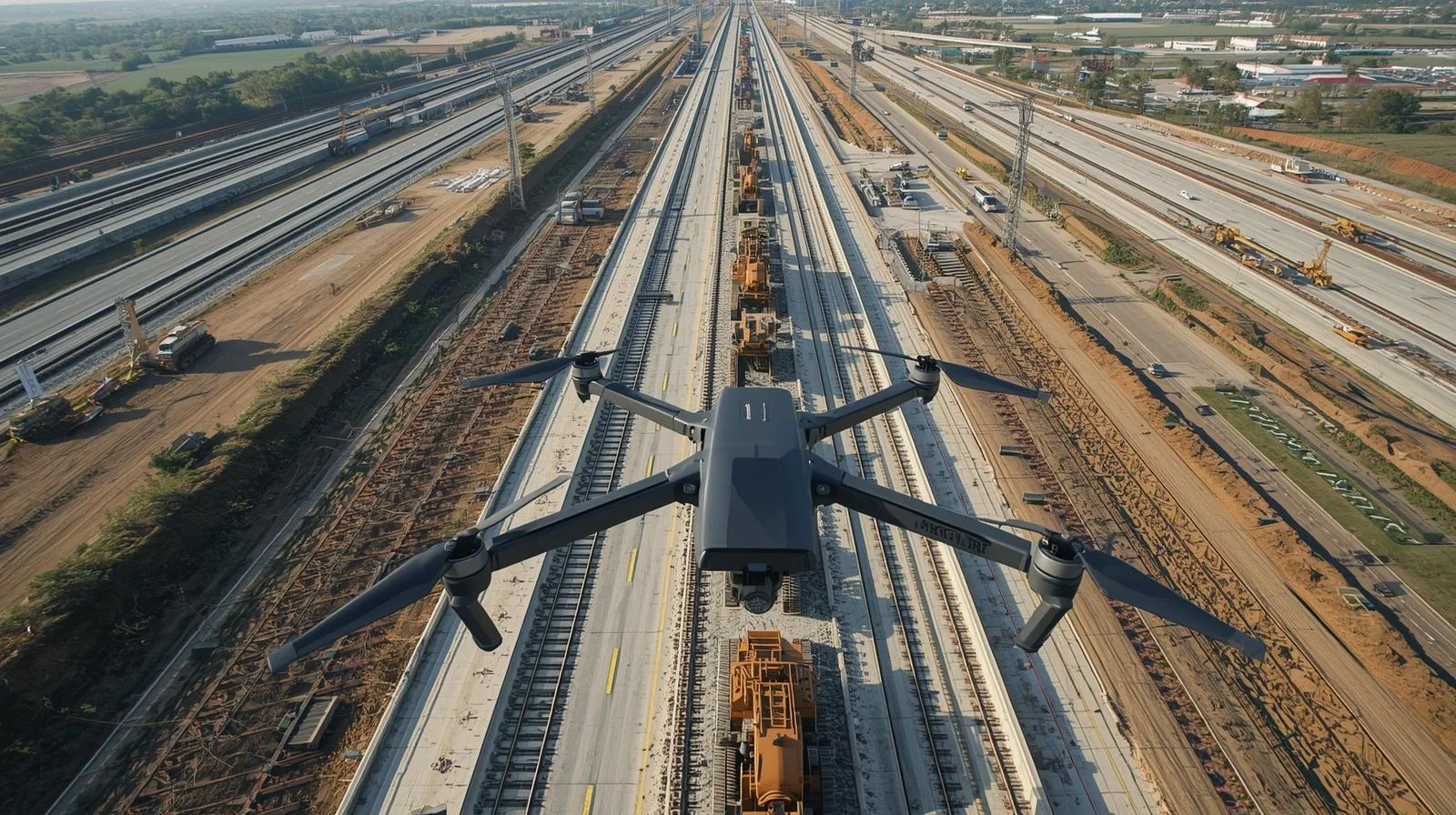
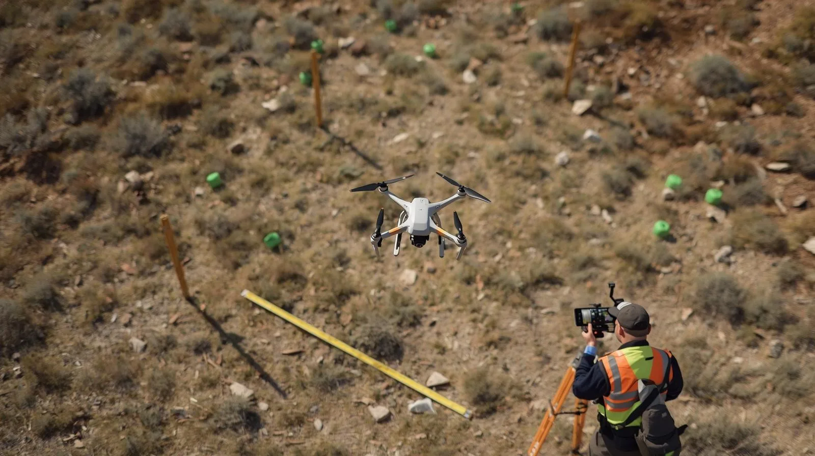
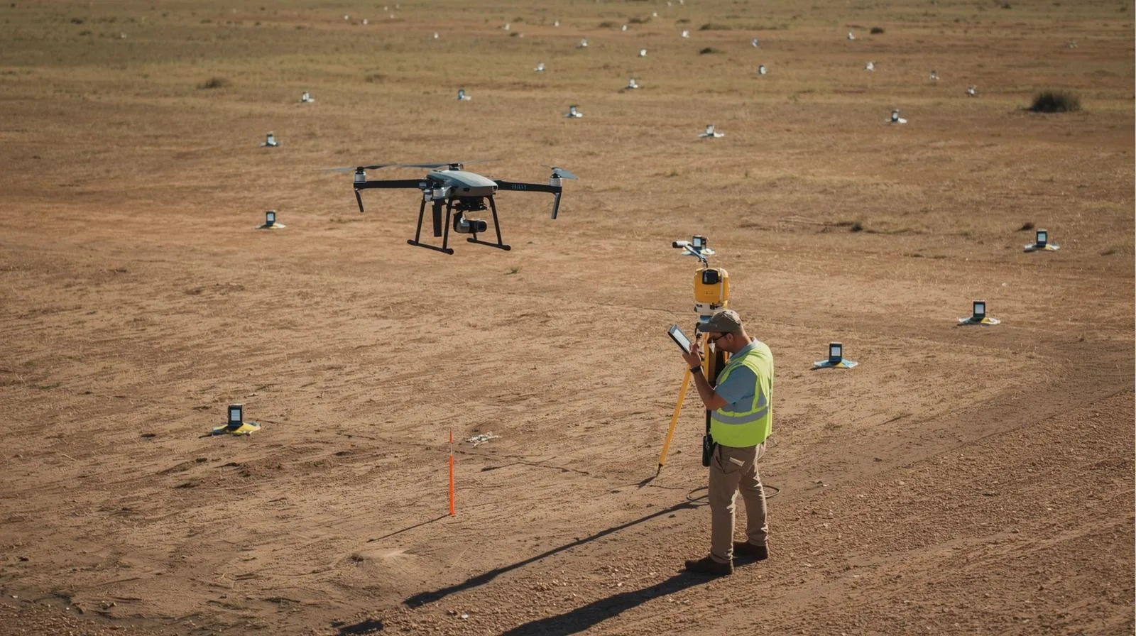
Data accuracy in low-altitude photogrammetry: How drones are revolutionizing engineering measurements.
|
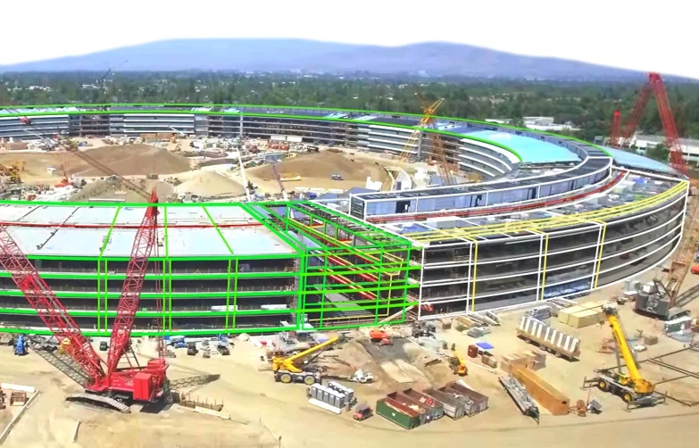
Scan to BIM in practice: How to go from point cloud to BIM model together with SkySnap?
Login / Registration
English (US)
English (GB)
German
Romanian
Login / Registration
English (US)
English (GB)
German
Romanian
Toggle Navigation
Industries
Drones in construction
Drones in building construction
Drones in real estate
Drones in Infrastructure
Drones in Energy
Drones in railways
Drones for Local Governments
SkySnap Portal
About Us
Contact
Order drone service
Try SkySnap
See articles: dron
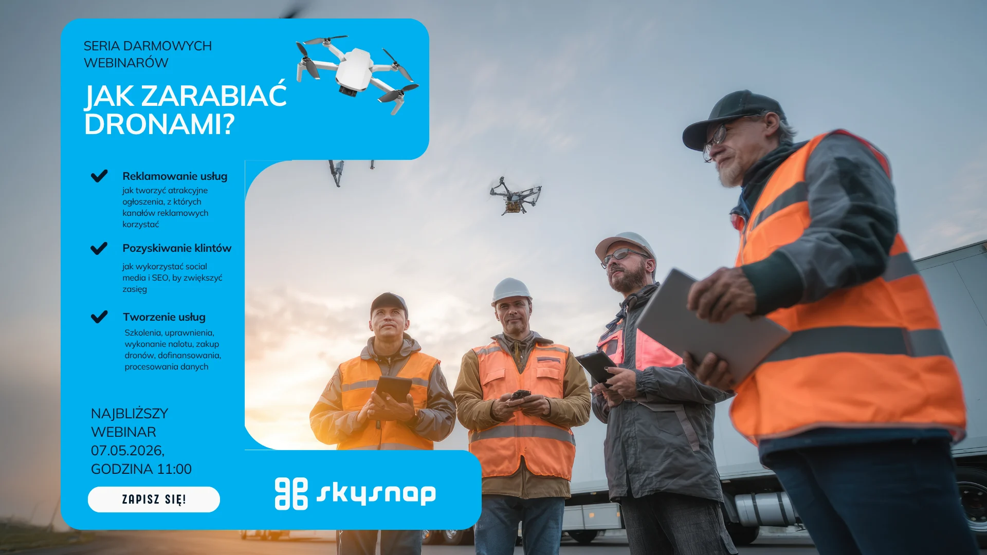
Webinar 07.05 SkySnap: Earning with a Drone: Building Inspections
Czytaj Dalej
Webinar 21.04 SkySnap Product Updates: building inspections and automatic data processing
Czytaj Dalej
How are drones changing property condition management? Diagnostics start with the roof.
Czytaj Dalej
Webinar: 23.04 Drones in Real Estate: Roof Inspections
Czytaj Dalej
Webinar 28.04 DRON EFFECT ON CONSTRUCTION: Integrating data from above and below the water
Czytaj Dalej
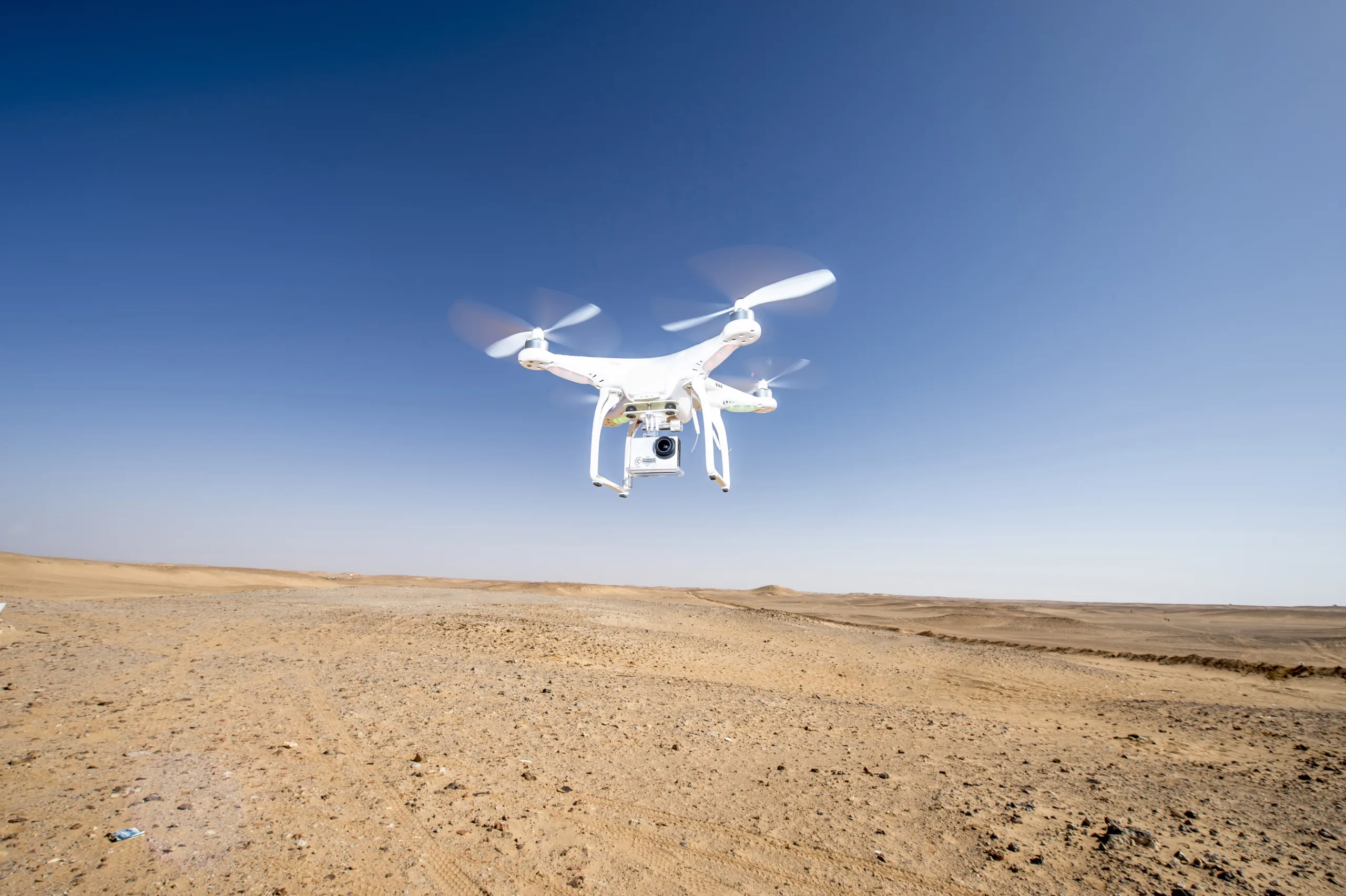
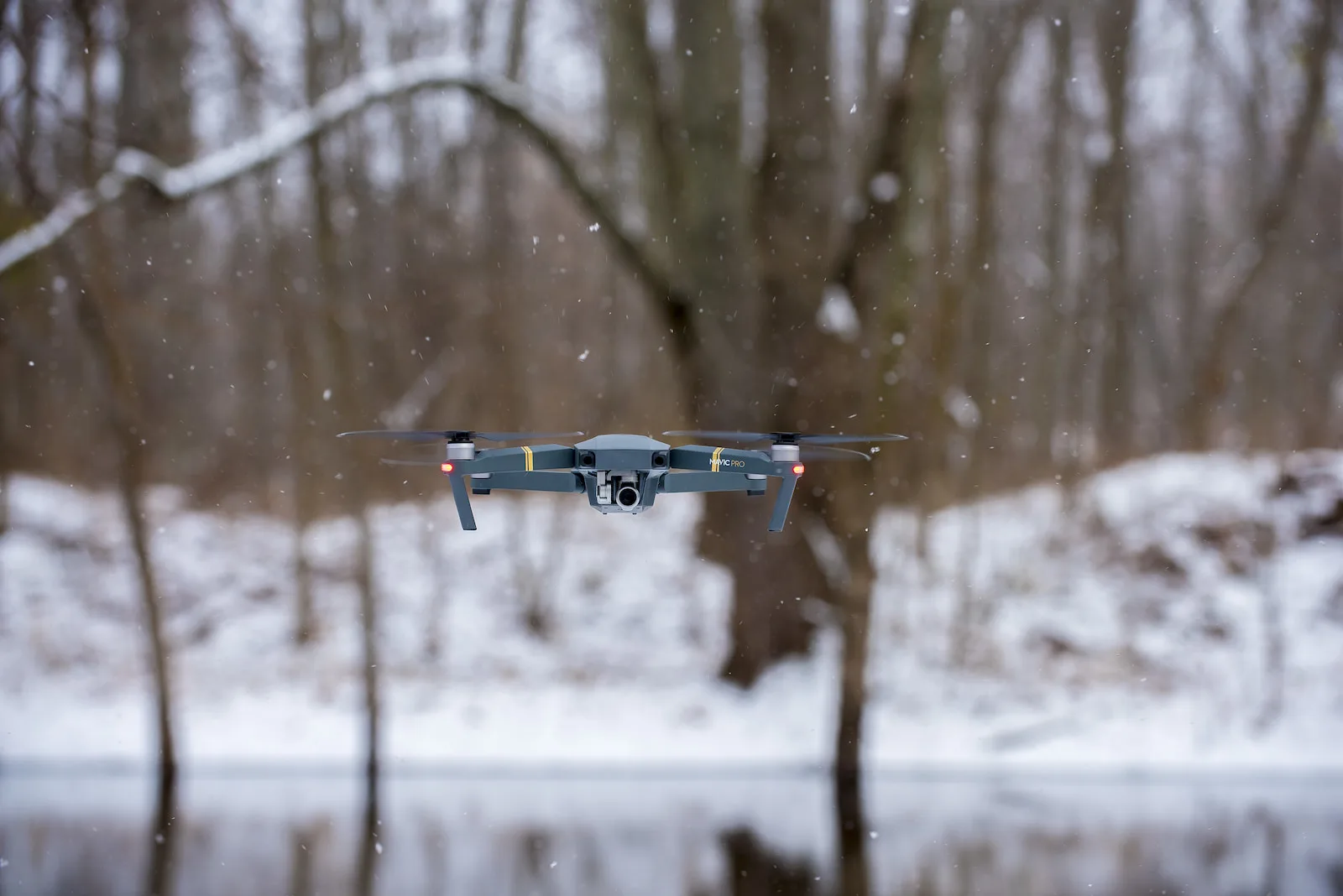
Surveyor’s Day with professional field support. DJI Matrice 4E and 4D Combo with Portal SkySnap package
Czytaj Dalej
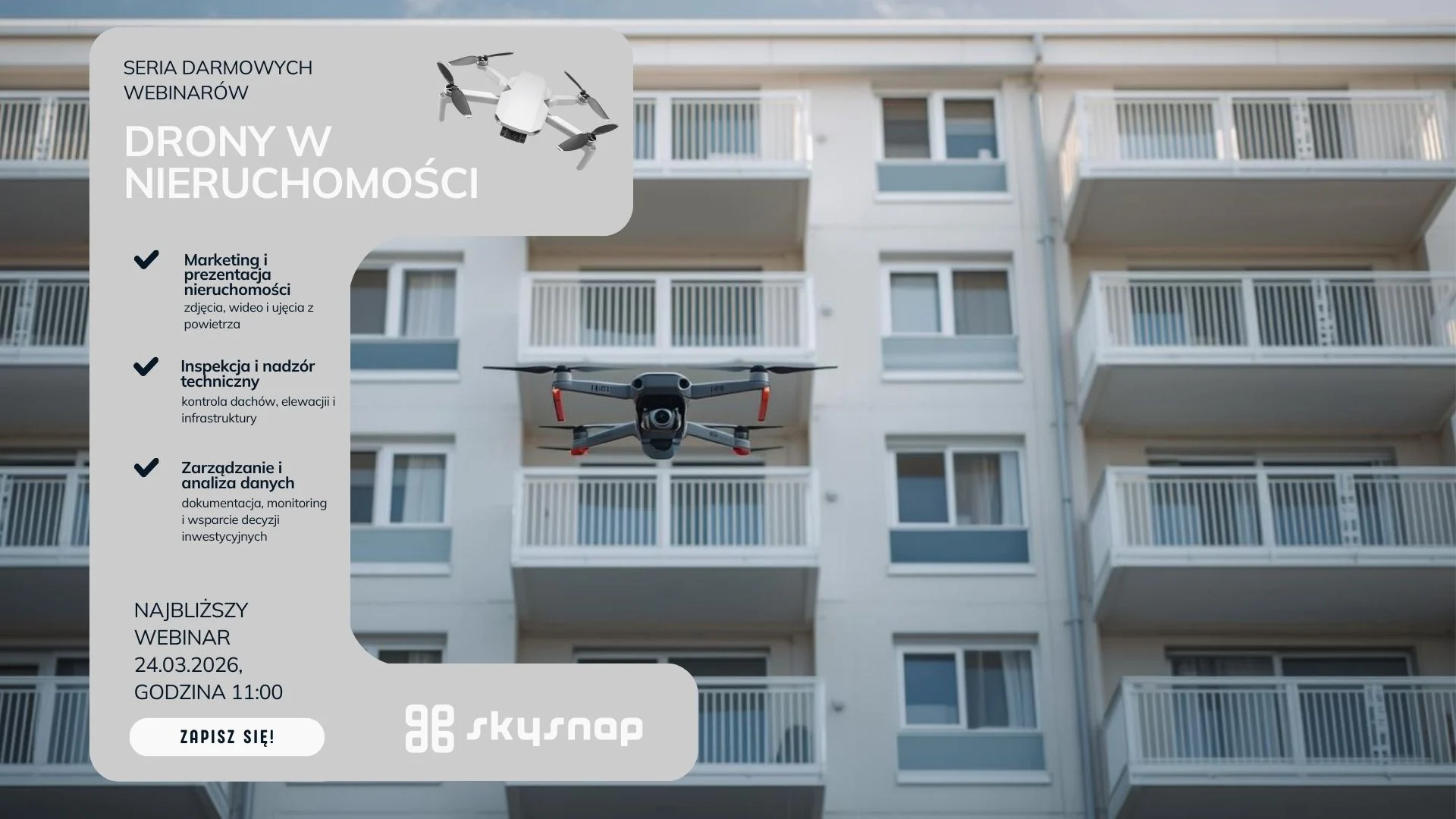
Drones in real estate: Practical Applications for Housing Managers and Communities
Czytaj Dalej
Adding inspection module 02.03.2026
Czytaj Dalej
Data accuracy in low-altitude photogrammetry: How drones are revolutionizing engineering measurements.
Czytaj Dalej
Webinar 24.02 SkySnap: The Drone Effect on Construction: AI at SkySnap: from research to implementation- Ask the Experts
Czytaj Dalej
Drone training and funding. How to get funding and grow your drone business SkySnap X 4Tech
Czytaj Dalej
Webinar 03.03 SkySnap: Earning with a Drone – Valuing drone services. Backstage of Drone World EXPO. Previewing inspection features
Czytaj Dalej
PRESS RELEASE BIM support in IFC format 02.03.2026
Czytaj Dalej
Scan to BIM in practice: How to go from point cloud to BIM model together with SkySnap?
Czytaj Dalej
BIM on site: from theory to practice. How does SkySnap connect the model to reality?
Czytaj Dalej
How to effectively monitor construction progress with a drone?
Czytaj Dalej
Webinar 03.02 SkySnap: What drone to buy for professional tasks in 2026? Skysnap + Megadrone
Czytaj Dalej
Webinar 20.01 SkySnap: The Drone Effect on Construction: Accuracy of Drone Data – What Should You Know?
Czytaj Dalej
Webinar 08.01 SkySnap: How to perform a photogrammetric raid with a small drone
Czytaj Dalej
Webinar 16.12 SkySnap: The Drone Effect on Construction: From Data to Digital Twin: How SCAN-to-BIM and AI are revolutionizing bidding and project lifecycle management
Czytaj Dalej
Webinar 02.12 SkySnap: How to prepare and execute a photogrammetric raid
Czytaj Dalej
SkySnap Webinar: The Drone Effect on Construction Sites: Integrating Data from Below the Ground and From the Air
Czytaj Dalej
How to advertise drone services? A complete guide for the industry
Czytaj Dalej
Innovative surveillance systems with drones for enhanced security
Czytaj Dalej
Surveillance drones: Modern technology for secure surveillance
Czytaj Dalej
Best surveillance drones: Overview and Applications in 2025
Czytaj Dalej
Revolution in aviation: Unmanned aerial vehicles and BVLOS technology
Czytaj Dalej
Do you need a permit for a drone? A guide for beginners
Czytaj Dalej
What range does a drone have? Key information for future users
Czytaj Dalej
Is a drone an aircraft? Key information for beginners
Czytaj Dalej
How to price drone and photogrammetric services in Poland: a guide for operators
Czytaj Dalej
New features in SkySnap portal – November ’25
Czytaj Dalej
SkySnap completes largest project in company’s history – digital inventory for Polish Waters
Czytaj Dalej
SkySnap revolutionizes drone data analysis with advanced 3D visualization and data export features
Czytaj Dalej
SkySnap webinar: How to effectively advertise drone services and gain customers
Czytaj Dalej
🚀 SkySnap webinar: drone in the service of construction
Czytaj Dalej
SkySnap celebrates 10 years! A new decade, the same spirit of innovation
Czytaj Dalej
How to make money with drones? How to prepare and sell photogrammetric services step by step.
Czytaj Dalej
SkySnap Portal with new features and German language support
Czytaj Dalej
How to plan a drone mission to make the data suitable for photogrammetry? [GUIDE]
Czytaj Dalej
Webinar Portal New Features
Czytaj Dalej
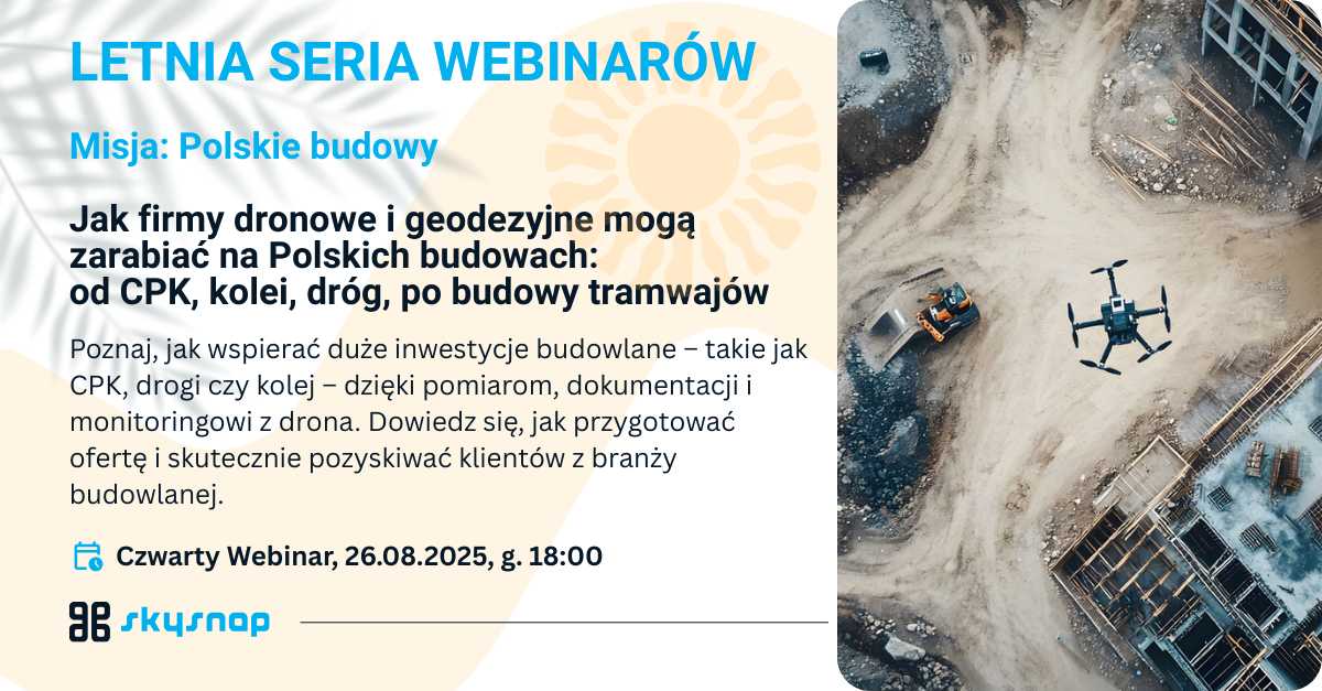
Mission: Polish construction – how drone and surveying companies can make money from investments in Poland: from CPK, railroads and roads, to streetcar line construction.
Czytaj Dalej
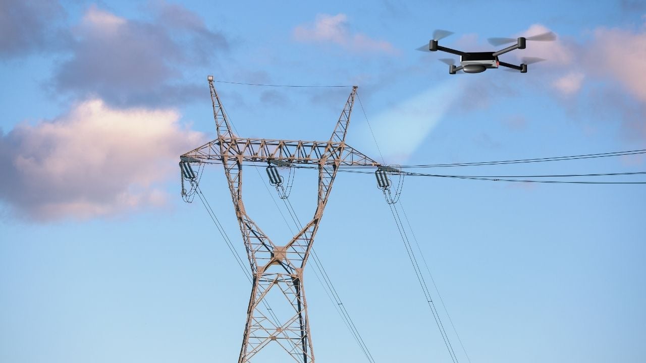
Inspection of power lines from a drone – faster and safer
Czytaj Dalej
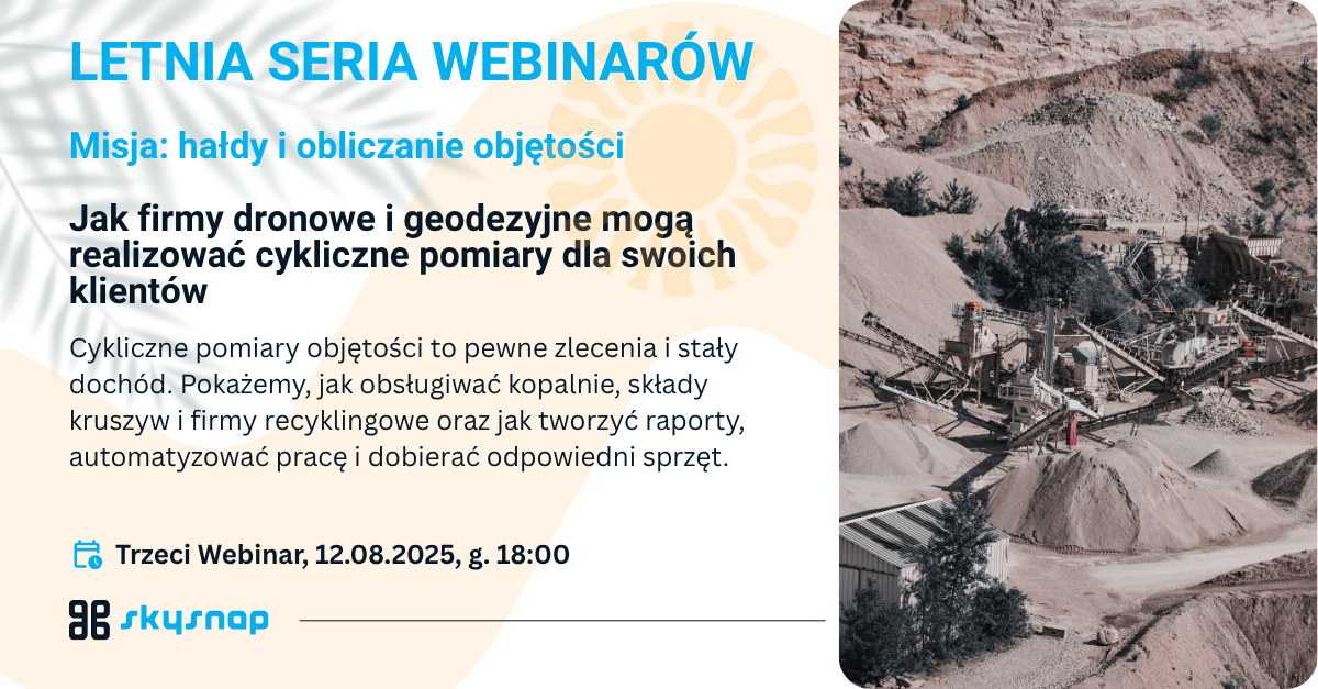
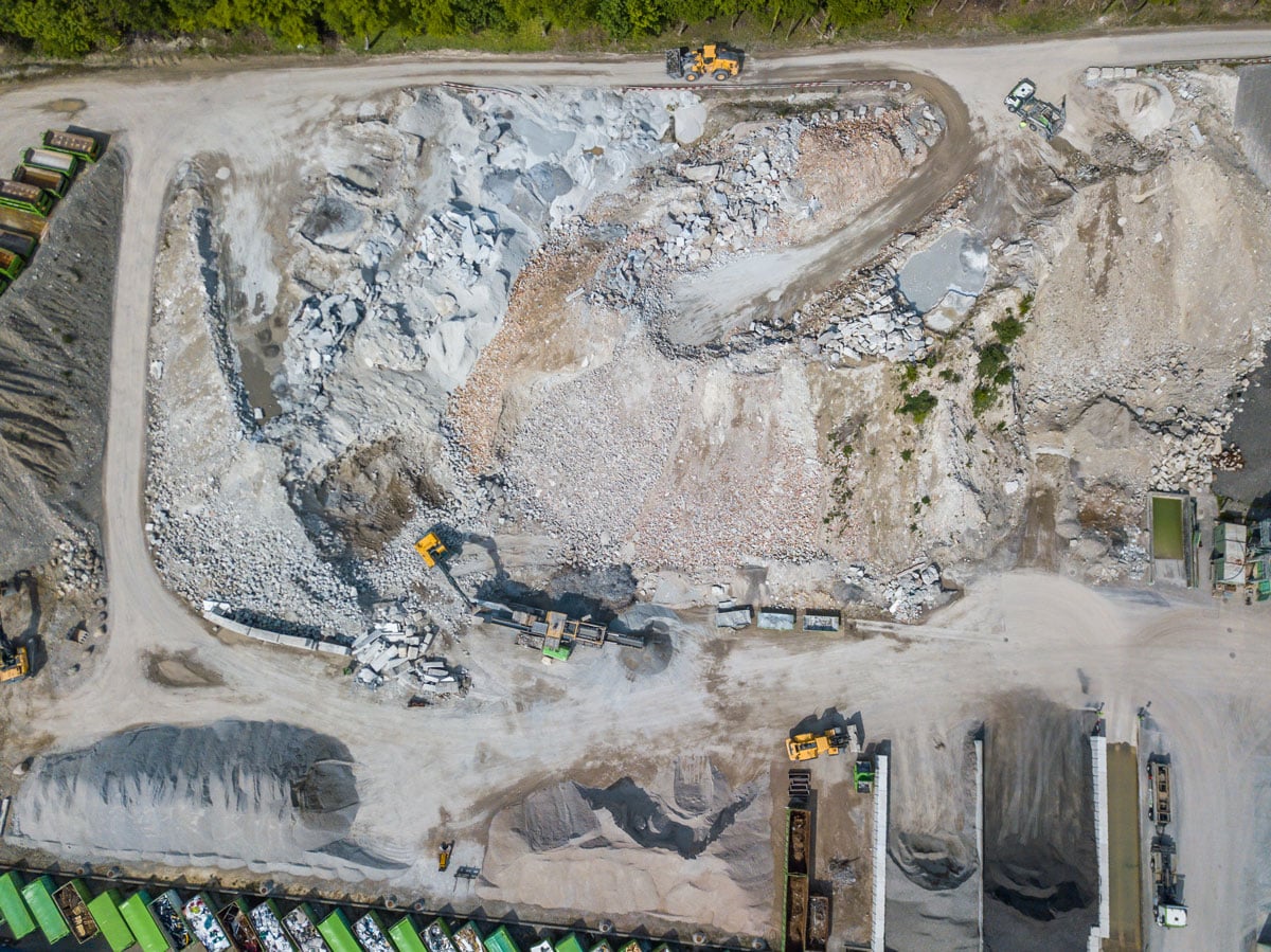
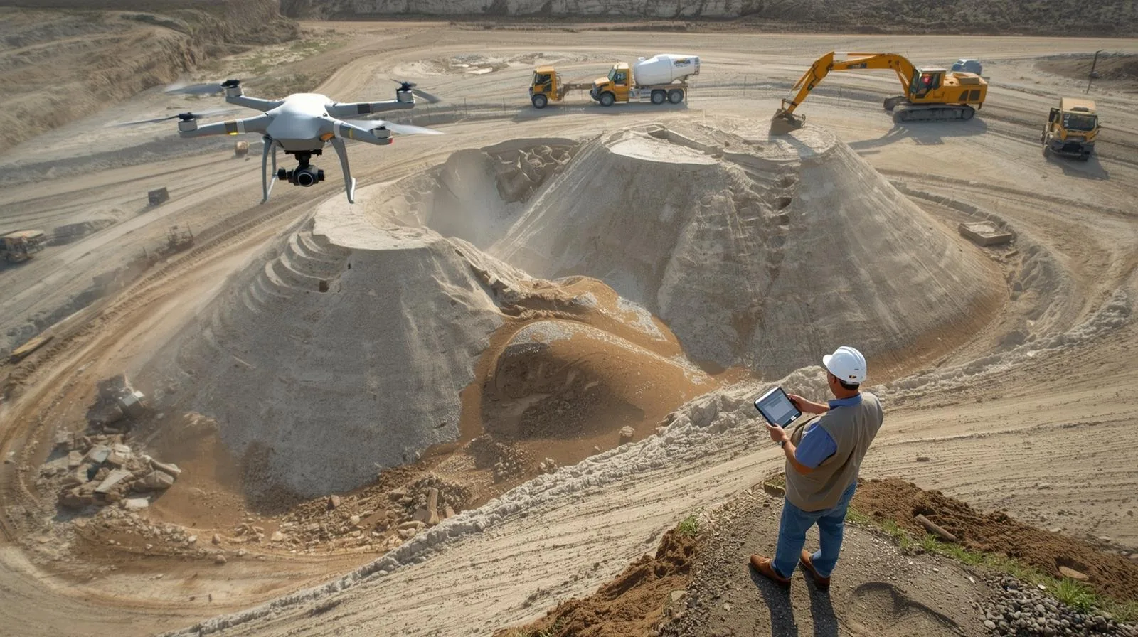
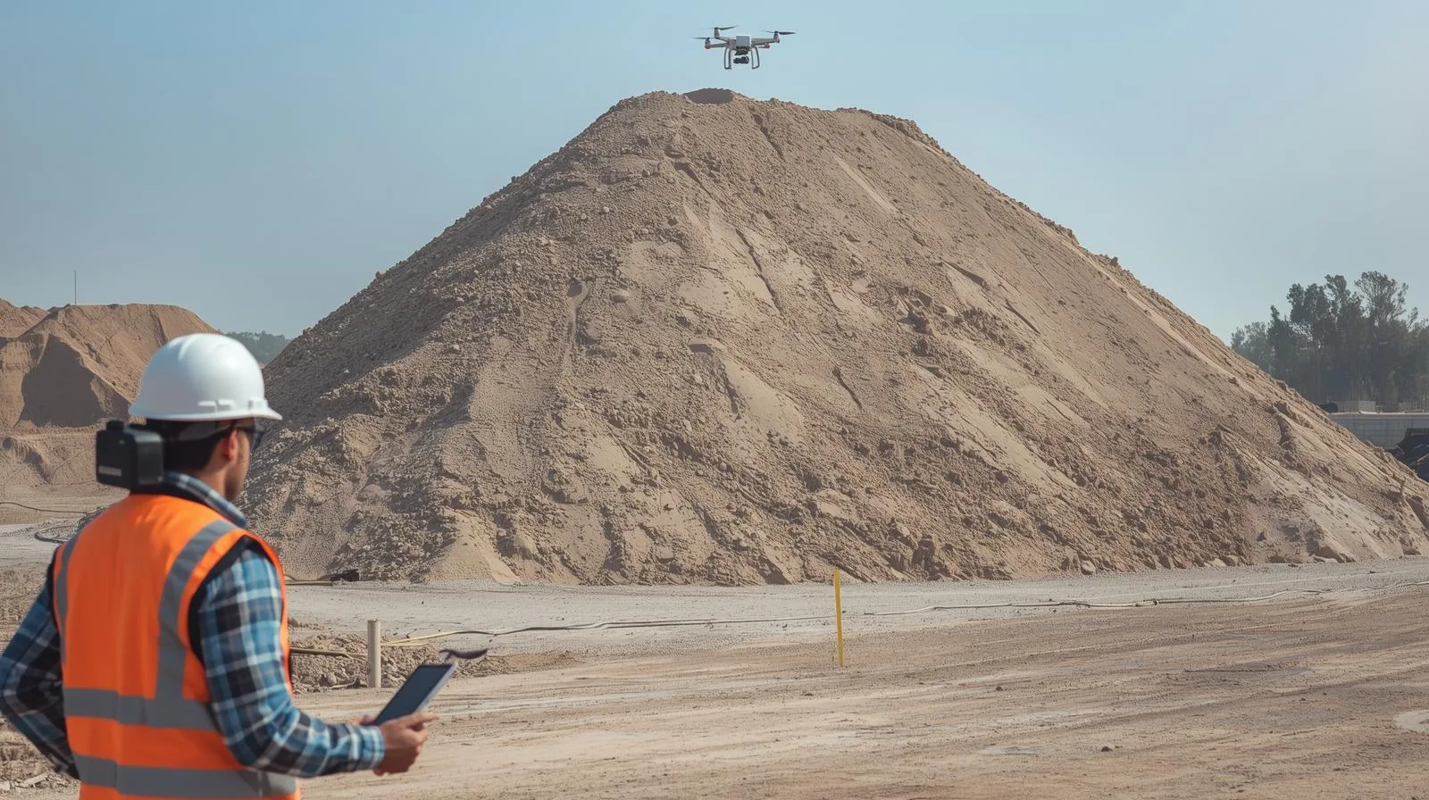
Mission: heaps and volume calculations – how drone and surveying companies can perform cyclic measurements for their clients
Czytaj Dalej
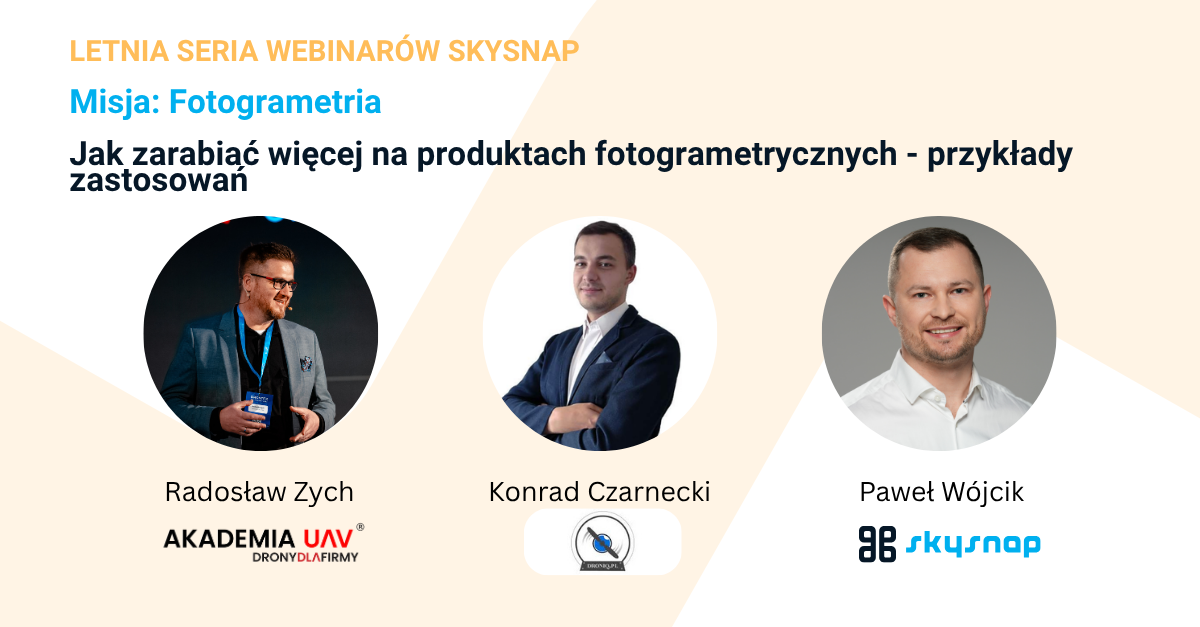
Mission: Photogrammetry. How to earn more from photogrammetric products – application examples
Czytaj Dalej
Mission: profit. How to start making money with a drone? Profit Map: Learn the best paths to monetize your drone and geospatial data
Czytaj Dalej
How construction companies can speed up heap surveys with SkySnap
Czytaj Dalej
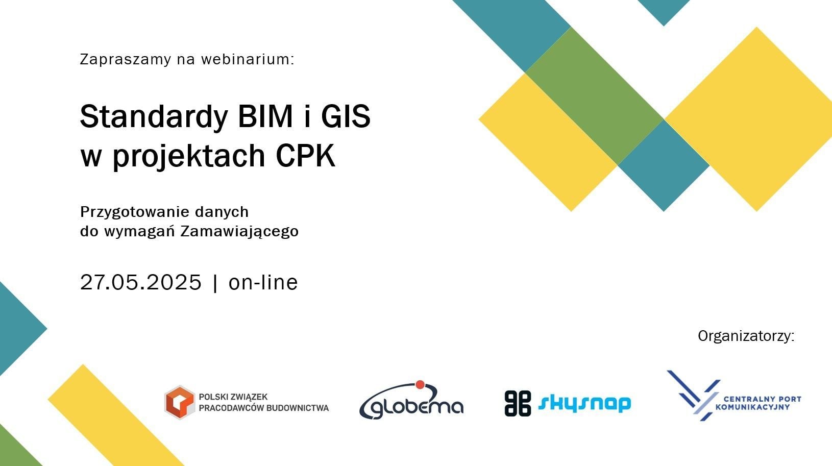
Webinar: BIM and GIS standards in CPK projects.
Czytaj Dalej
How to create a subscription service like Netflix in the drone industry? A guide for operators using the SkySnap platform
Czytaj Dalej
How to make money from drones? Find out how heap counting function can transform your business!
Czytaj Dalej
How can a drone company collect regular payments? A guide to Stripe in Polish conditions
Czytaj Dalej
Inspection drones: The best solutions for the engineering industry
Czytaj Dalej
SkySnap’s “Technology on the Construction Site” report – how digital data supports investment control
Czytaj Dalej
Inspection drone job – how to start a career in a modern profession
Czytaj Dalej
Drone inspections – A modern approach to monitoring infrastructures
Czytaj Dalej
Surveying by drone – modern solutions for surveyors
Czytaj Dalej
The best map for design purposes by drone – A step-by-step guide
Czytaj Dalej
Drone exam – best tips on how to pass the first time!
Czytaj Dalej
Best 2025 drone reviews: What should you know before buying one?
Czytaj Dalej
How to shoot with a drone – proven tips for every photographer
Czytaj Dalej
What to look for when buying a drone? A practical guide.
Czytaj Dalej
Methods of situational surveying by drone: Modern surveying solutions
Czytaj Dalej
How can drone companies increase their revenue?
Czytaj Dalej
Accuracy of drone measurements: Key aspects and practical applications
Czytaj Dalej
Effective inventory management methods using a drone
Czytaj Dalej
Weather conditions and drone flying – how to ensure safety?
Czytaj Dalej
Advanced drone survey techniques in construction – a guide
Czytaj Dalej
Practical applications of drones with lidar technology in various industries
Czytaj Dalej
Modern field measurements with drones – efficiency and precision
Czytaj Dalej
Best practices for drone inspections in 2025
Czytaj Dalej
Field measurements by drone: Modern methods and their application
Czytaj Dalej
Drone with infrared camera: Applications, technologies and model reviews
Czytaj Dalej
UAV thermal imaging – a new era in thermal data analysis
Czytaj Dalej
Innovative drone construction research in construction inspections
Czytaj Dalej
Surveying error vs. drones: How to avoid the most common problems
Czytaj Dalej
Laser scanner surveying vs. drones: Modern solutions in surveying
Czytaj Dalej
Lidar imagery vs. drones: New opportunities in surveying
Czytaj Dalej
Digital terrain model vs. drones: How to use the technology effectively
Czytaj Dalej
Cartography by drone: How to use drones for precision mapping
Czytaj Dalej
Topography by drone: How to create accurate maps and surveying measurements
Czytaj Dalej
Jobs and assignments for surveyor and drone companies – opportunities and challenges
Czytaj Dalej
Making money with drones: Effective methods and tips for beginners
Czytaj Dalej
How to obtain a UAVO qualification certificate? A step-by-step guide
Czytaj Dalej
Operation risk assessment: specific operation risk assessment in practice
Czytaj Dalej
Pre-flight drone checklist: What you need to know before takeoff
Czytaj Dalej
Recreational drone flights – how to fly safely and legally?
Czytaj Dalej
NSTS 05 entitlement and drones – your path to advanced flying
Czytaj Dalej
SkySnap developed spatial data to support fox rabies vaccine drop – SkySnap
Czytaj Dalej
Analysis of traffic safety in Wilson Square. SkySnap and ZDG TOR together for ZDM Warszawa
Czytaj Dalej
What is kinematics? Real-time kinematics and drones: New application possibilities
Czytaj Dalej
Ground checkpoints and drones: how they work together for precise measurement
Czytaj Dalej
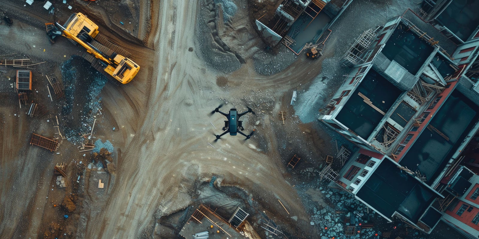
Drones in construction: Modern solutions for more efficient work
Czytaj Dalej
Best drone with IR camera for professional use in 2025
Czytaj Dalej
UAV thermal imaging – the key to effective site monitoring
Czytaj Dalej
Thermal imaging by drone – effective methods for thermal imaging analysis
Czytaj Dalej
3D drone filming – how to create breathtaking videos? – SkySnap
Czytaj Dalej
SkySnap performs tasks for CPK: up-to-date orthophotomap and 3D models for the airport part of an area of about 2,800 hectares
Czytaj Dalej
3D photogrammetry by drone: modern solutions for the surveying industry – SkySnap
Czytaj Dalej
Surveying accuracy – challenges and standards in practice – SkySnap
Czytaj Dalej
Lidar what it is – Key information and applications of LiDAR technology
Czytaj Dalej
RTK method: best practices in precision surveying – SkySnap
Czytaj Dalej
Modern thermal imaging measurements from a drone – effectiveness and applications
Czytaj Dalej
How are lidar images changing archaeological research in Poland?
Czytaj Dalej
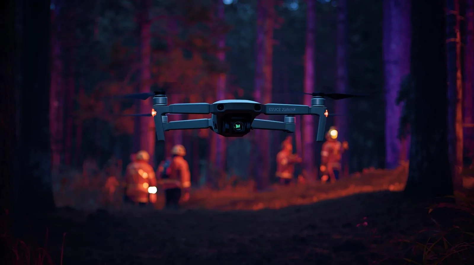
Thermal imaging drone – a key tool for rescuers and professionals
Czytaj Dalej
Best thermal imaging camera on a drone for professional use
Czytaj Dalej
Flying a drone in Poland – a guide to regulations and safety
Czytaj Dalej
Flying a drone in Poland: A guide to regulations and safety
Czytaj Dalej
Drone in company costs – what do you need to know about billing?
Czytaj Dalej
A fine for flying a drone – what do you need to know about penalties and regulations?
Czytaj Dalej
Can a drone fly over a property? Regulations and rules you need to know
Czytaj Dalej
Advanced drone software for effective fleet management
Czytaj Dalej
Professional drone services – The best solutions for your business
Czytaj Dalej
Process mapping detail by drone: how to achieve the best results
Czytaj Dalej
Innovative technical inspection by drone – safety and efficiency
Czytaj Dalej
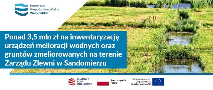
SkySnap is carrying out a key project for the Polish Water Authority – it will inventory more than 6,500 km of drainage ditches
Czytaj Dalej
Is a drone an aircraft? An overview of regulations and definitions.
Czytaj Dalej
What is a gyroscope in a drone? Key information and applications
Czytaj Dalej
What kind of range do drones have? Key factors affecting their capabilities
Czytaj Dalej
How high can a drone fly? A practical guide for everyone
Czytaj Dalej
Can a drone fly over private property? Find out what the regulations say.
Czytaj Dalej
Do you need a permit to fly a drone? A practical guide for everyone
Czytaj Dalej
UAV what is it? Basic information about unmanned aerial vehicles
Czytaj Dalej
Drones construction flight regulations – A complete guide for beginners
Czytaj Dalej
Thermal imaging measurements from a drone – effective plant diagnostics
Czytaj Dalej
Is a drone certification necessary? Check before you take off!
Czytaj Dalej
How to pass the drone exam? Practical tips for future pilots.
Czytaj Dalej
Building a drone – A guide to the best materials and technologies – SkySnap
Czytaj Dalej
Drones in construction: Modern technology for better efficiency
Czytaj Dalej
The most common problems with orthophotos and how to solve them effectively
Czytaj Dalej
Roof inspections by drone – A modern approach to building inspection
Czytaj Dalej
Photogrammetry by drone: How to use drones in surveying?
Czytaj Dalej
Drone data processing and RODO regulations: What you need to know
Czytaj Dalej
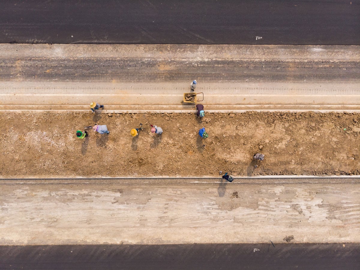
Construction surveying by drone – fast and precise solutions for investments
Czytaj Dalej
Real time kinematics and drones – A precise way to succeed in agriculture
Czytaj Dalej
Effective monitoring of construction progress: Steps and tools for monitoring
Czytaj Dalej
Inventory analysis – the key to efficient company logistics
Czytaj Dalej
Drones in linear construction: modern solutions and applications
Czytaj Dalej
How to make money from a drone? Practical methods and tips for beginners – SkySnap
Czytaj Dalej
Lidar from a drone: modern solutions in mapping and terrain analysis
Czytaj Dalej
Innovative surveying maps from a drone – efficiency and time savings
Czytaj Dalej
Terrain Mapping: Best techniques and tools for professionals – SkySnap
Czytaj Dalej
Construction site inventory – a key step to effective management
Czytaj Dalej
Drone inspections: best practices and techniques for professionals
Czytaj Dalej
Drones in surveying – how to effectively use modern technology
Czytaj Dalej
Drone flyovers for construction – The key to effective construction site inspections
Czytaj Dalej
Effective drone flight planning: a practical guide for pilots
Czytaj Dalej
Measurement accuracy from a drone – key aspects and applications
Czytaj Dalej
Measurements of the volume of mixed masses of heaps – accurate methods and calculations
Czytaj Dalej
VOLUME MEASUREMENTS – A CASE STUDY
Czytaj Dalej
Drone filming for construction projects – Modern Solutions – SkySnap
Czytaj Dalej
Professional photogrammetry services for the construction industry: What you should know
Czytaj Dalej
Drone land mapping price – what should you know before choosing a service?
Czytaj Dalej
Page load link
Go to Top


")
")

")
")