Skip to content
Blog:
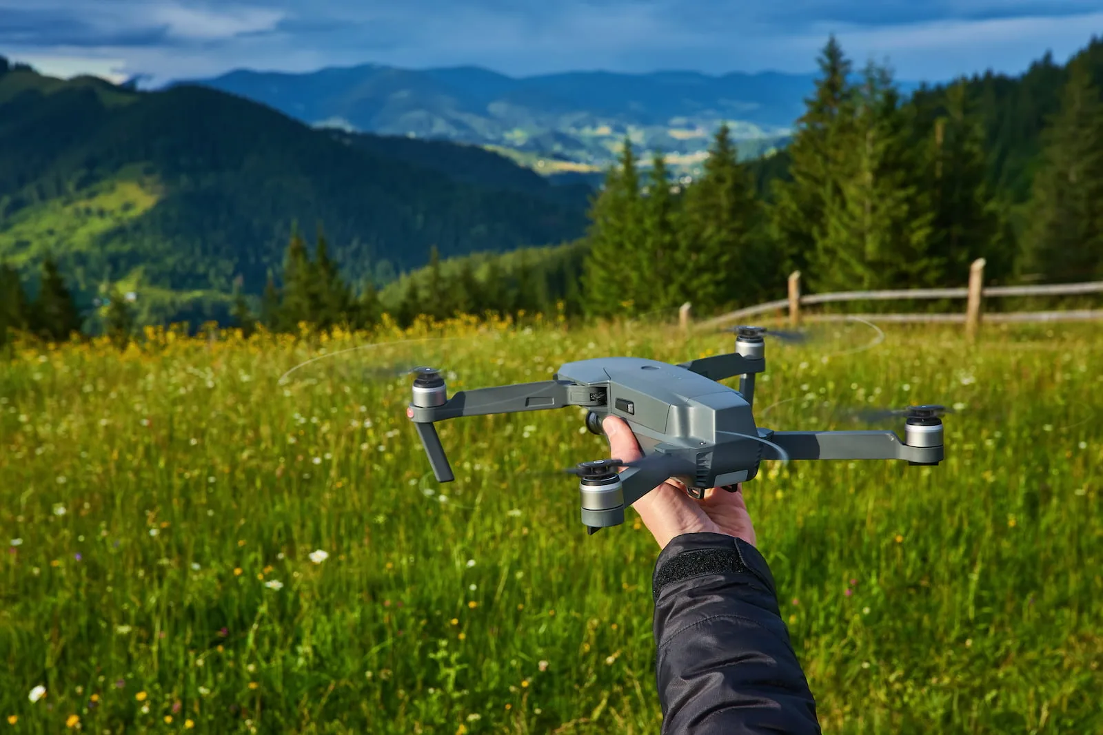
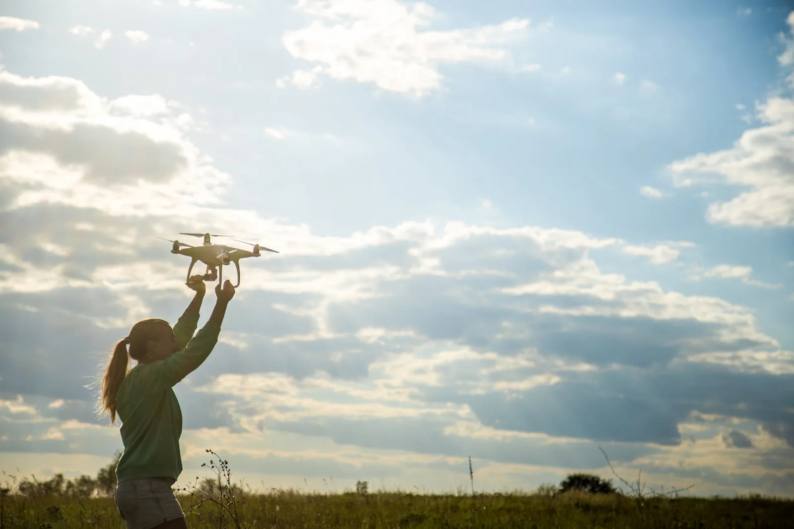
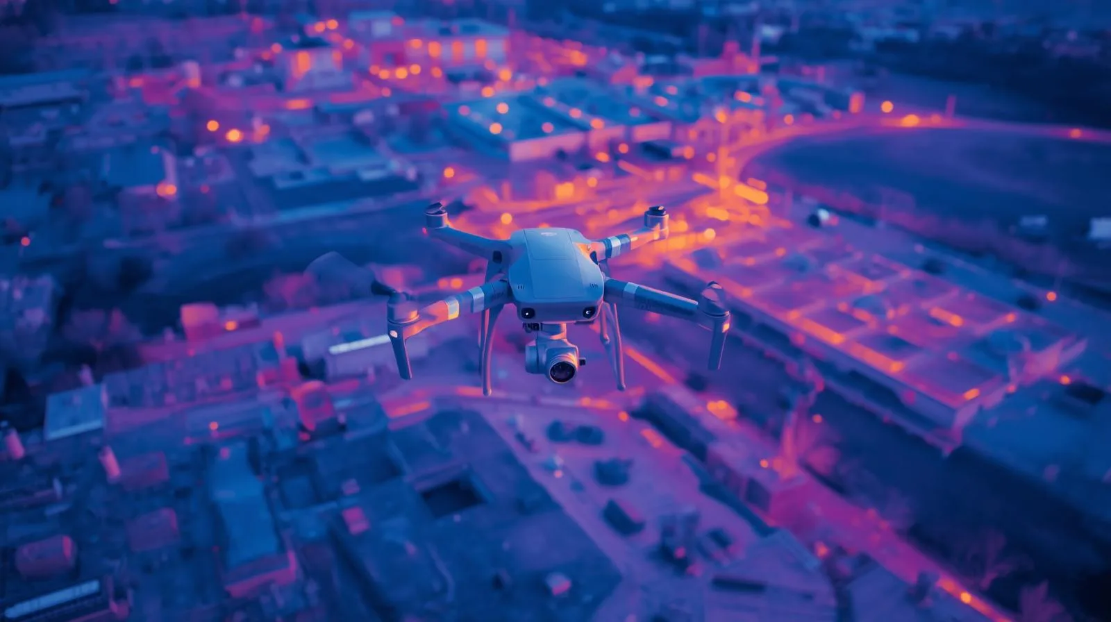
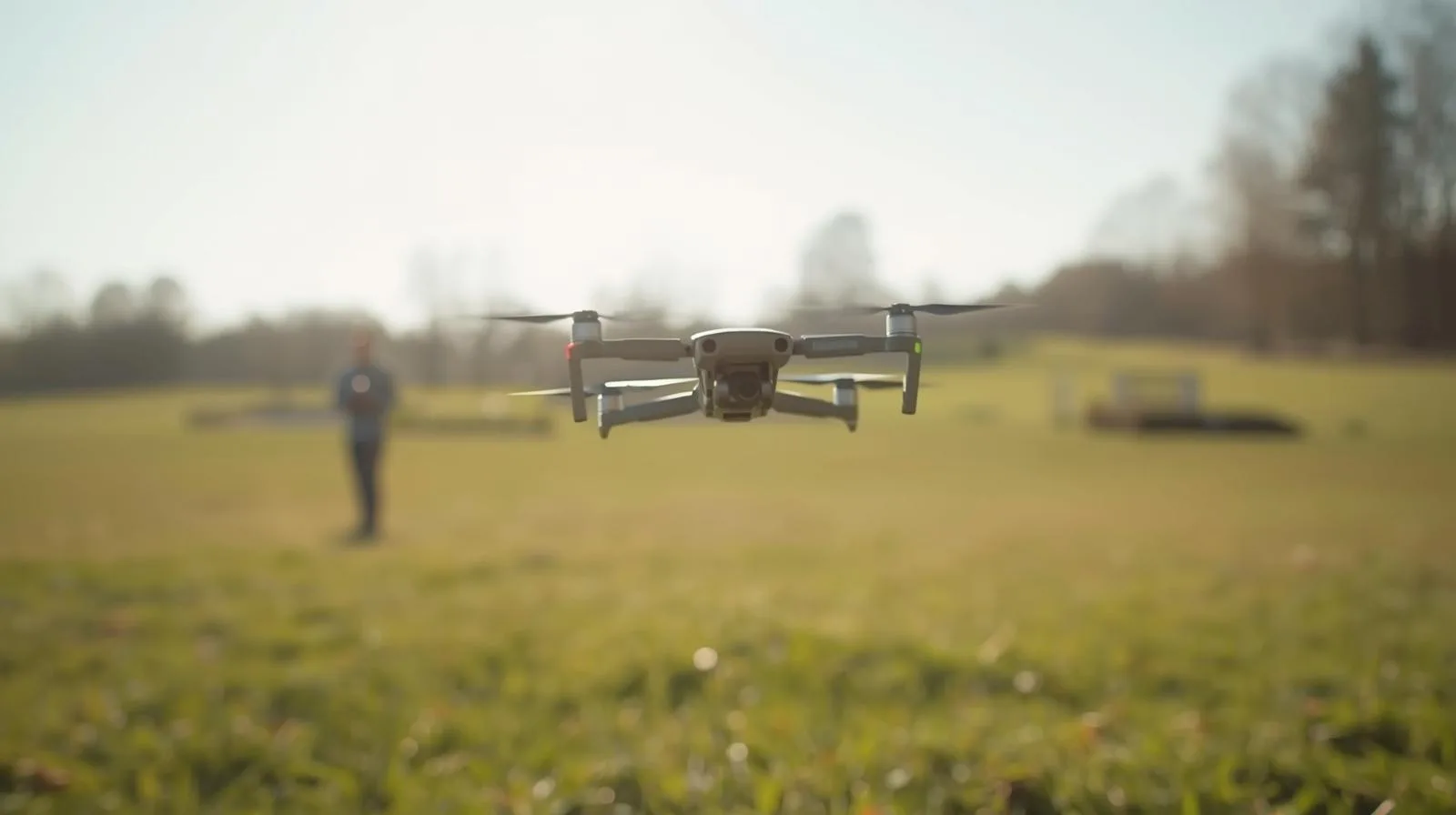
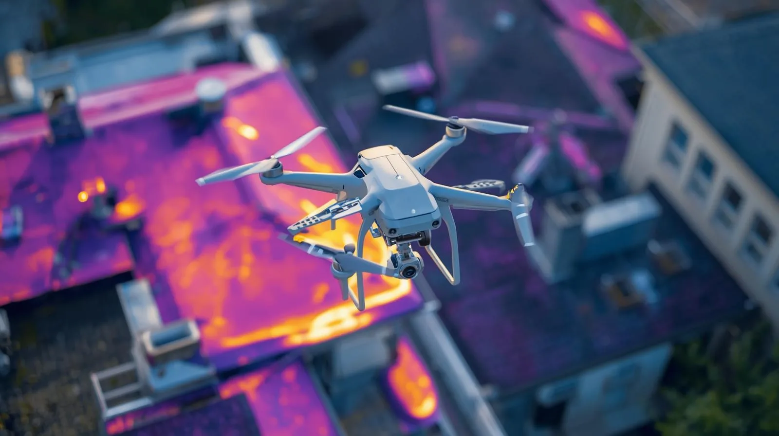
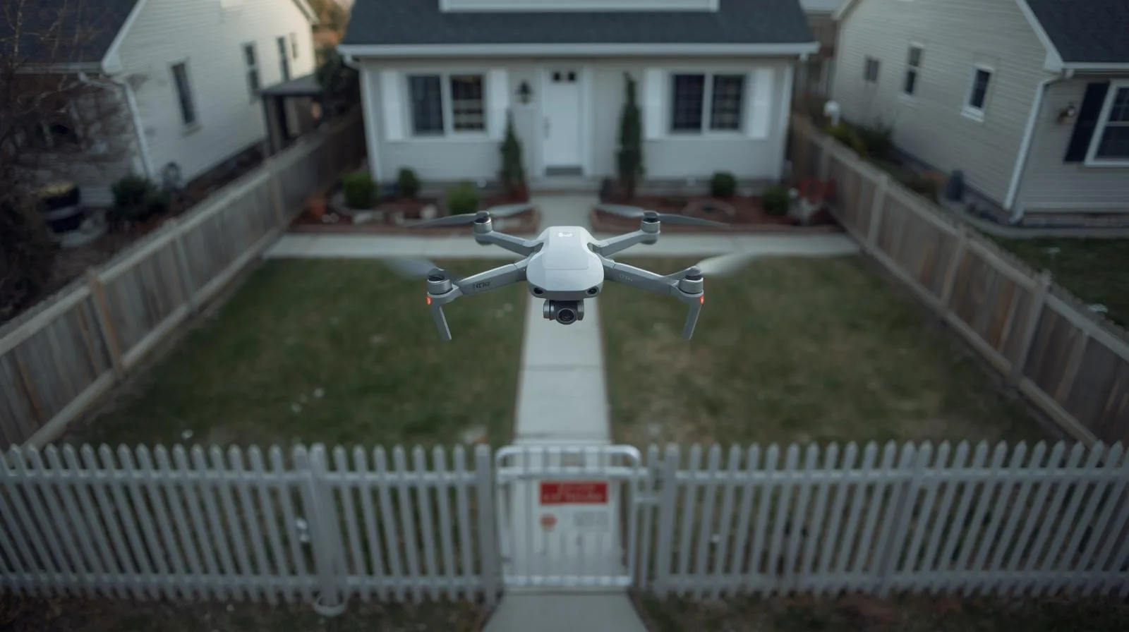
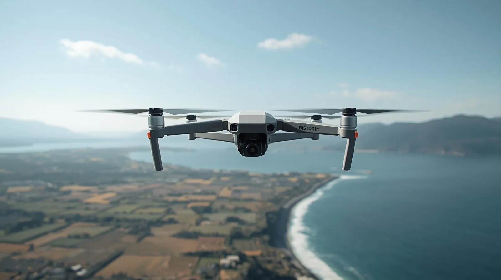
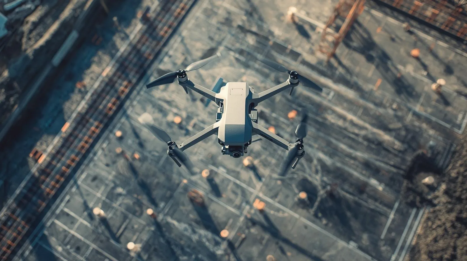
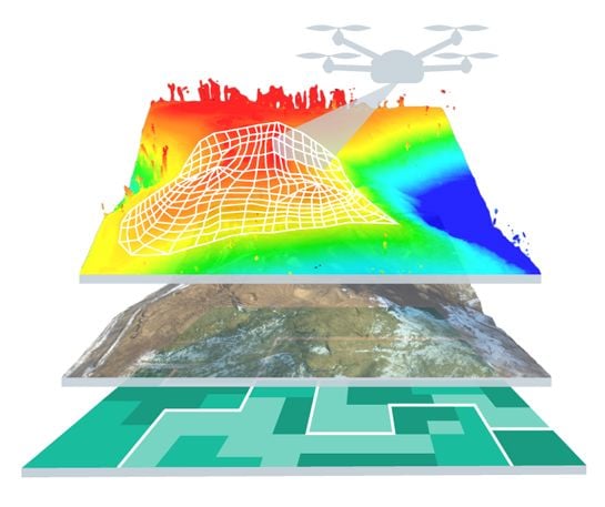
How are drones changing property condition management? Diagnostics start with the roof.
|
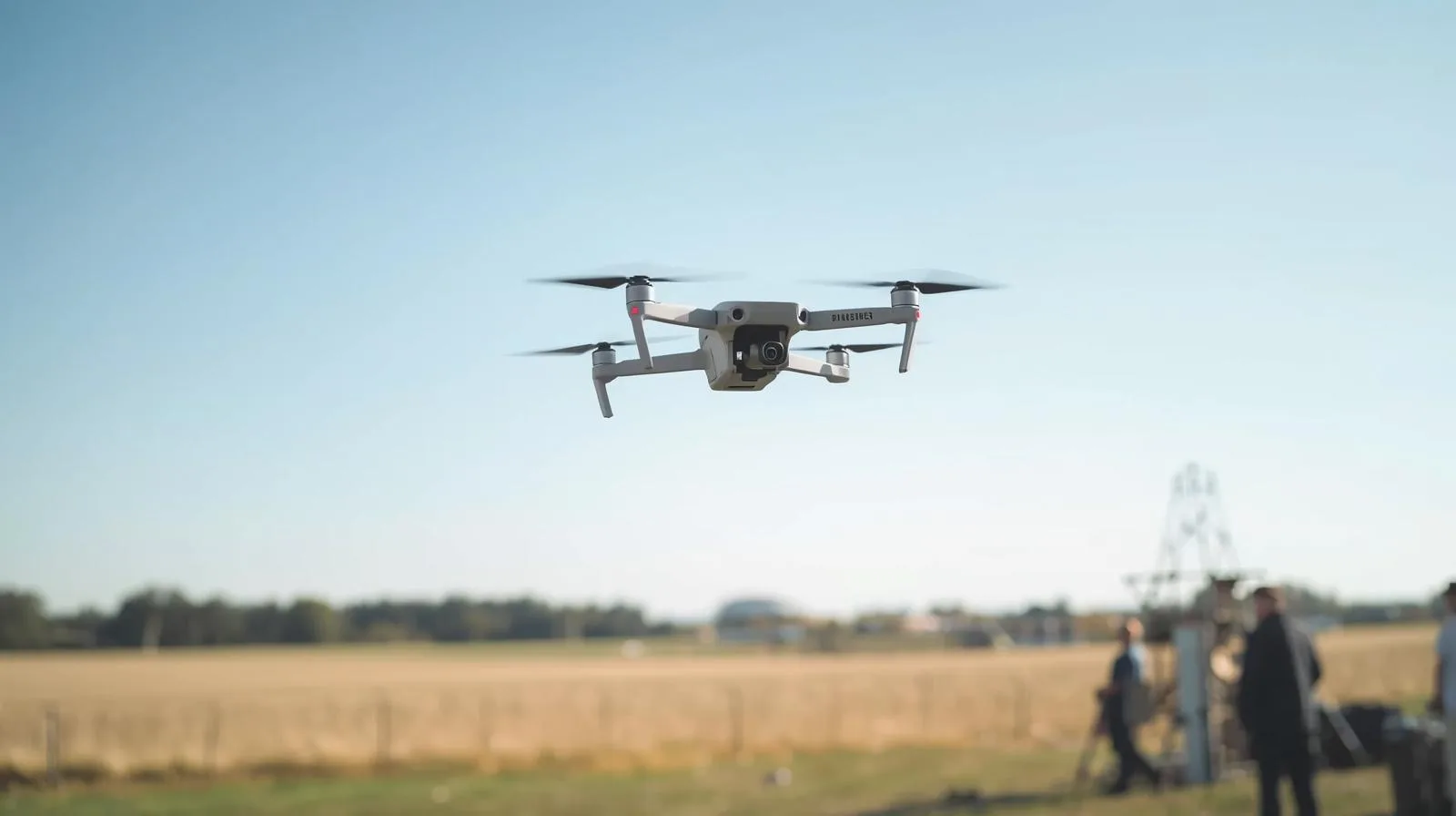
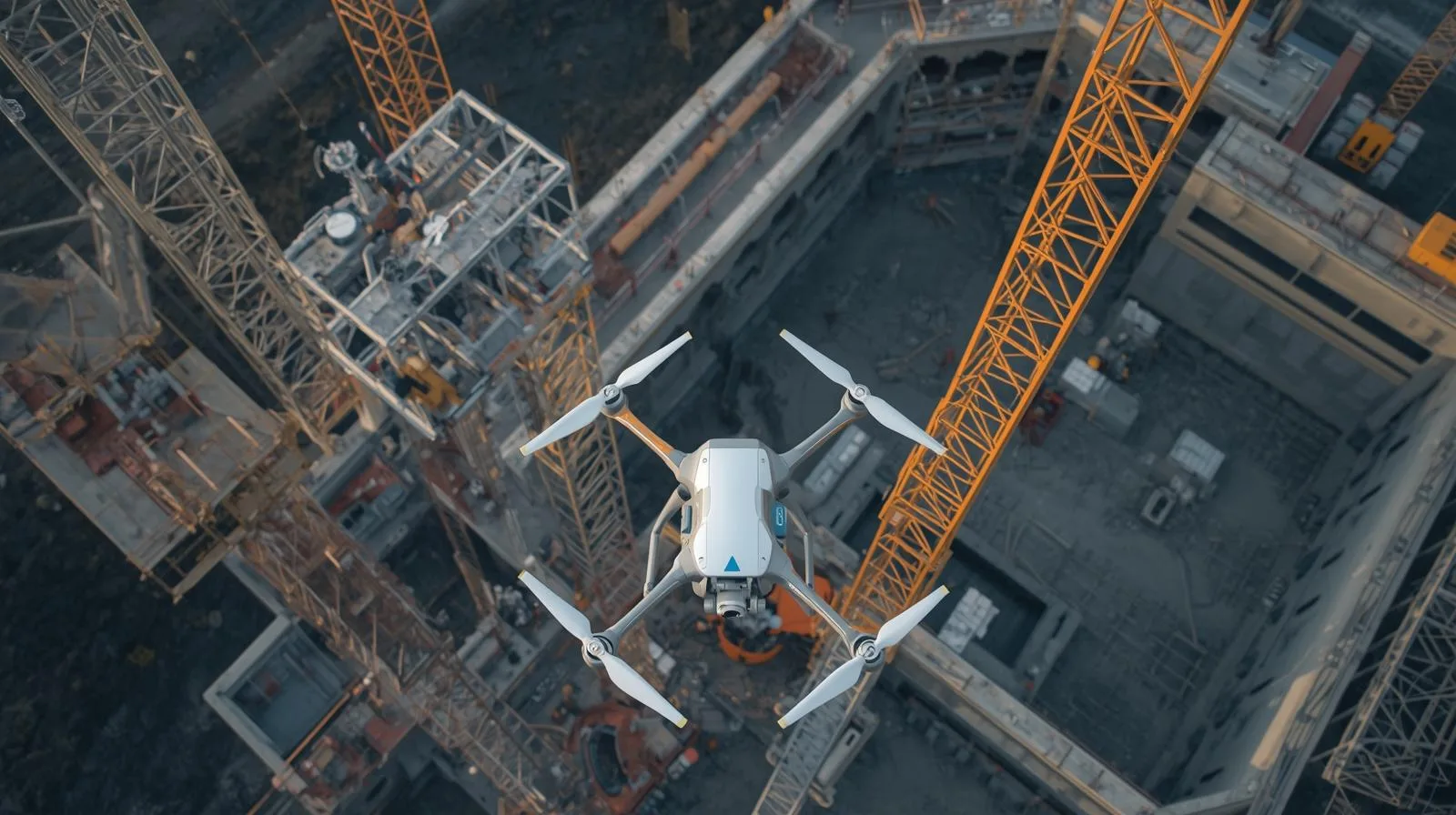
Surveyor’s Day with professional field support. DJI Matrice 4E and 4D Combo with Portal SkySnap package
|
Data accuracy in low-altitude photogrammetry: How drones are revolutionizing engineering measurements.
|
Scan to BIM in practice: How to go from point cloud to BIM model together with SkySnap?
Login / Registration
English (US)
English (GB)
German
Romanian
Login / Registration
English (US)
English (GB)
German
Romanian
Toggle Navigation
Industries
Drones in construction
Drones in building construction
Drones in real estate
Drones in Infrastructure
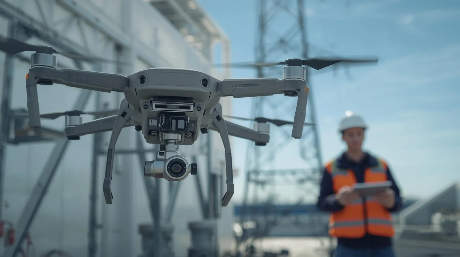
Drones in Energy
Drones in railways
Drones for Local Governments
SkySnap Portal
About Us
Contact
Order drone service
Try SkySnap
See articles: Datorobcy
How are drones changing property condition management? Diagnostics start with the roof.
Czytaj Dalej
Surveyor’s Day with professional field support. DJI Matrice 4E and 4D Combo with Portal SkySnap package
Czytaj Dalej
Data accuracy in low-altitude photogrammetry: How drones are revolutionizing engineering measurements.
Czytaj Dalej
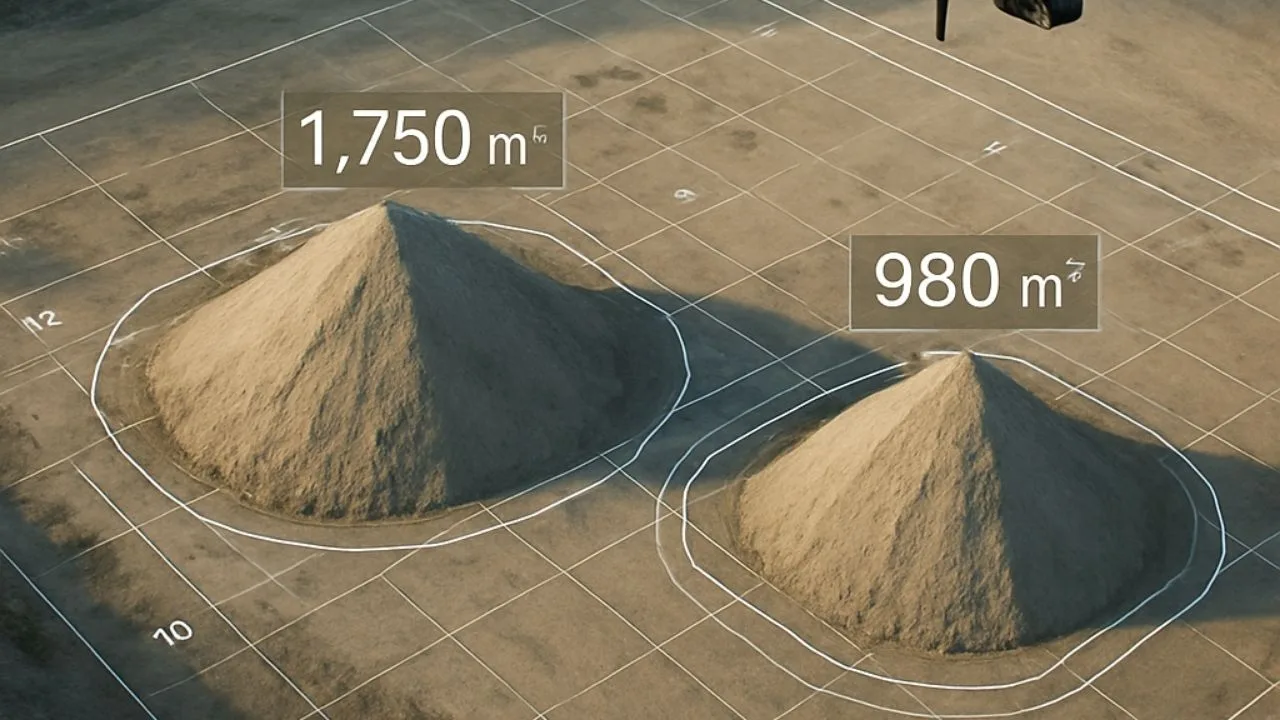
Volume analysis of earth materials from a drone – how to accurately measure masses?
Czytaj Dalej
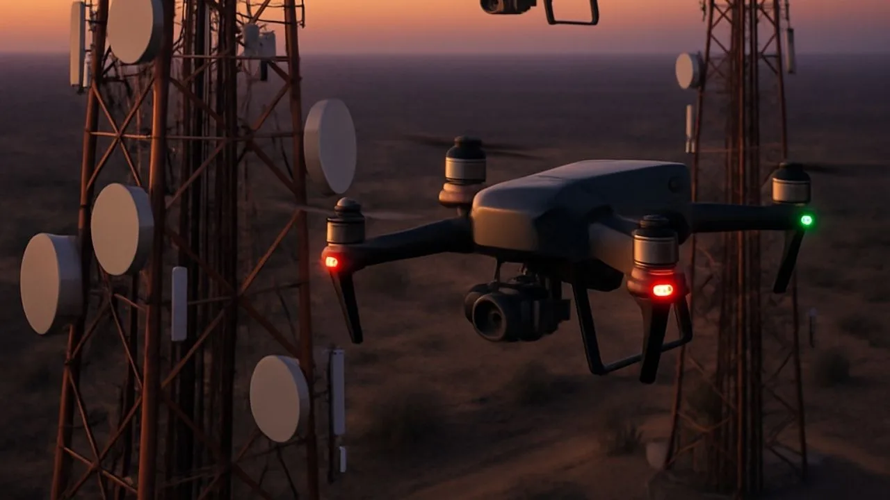
Drones in the telecommunications industry – inspection of towers, masts and installations
Czytaj Dalej
How to advertise drone services? A complete guide for the industry
Czytaj Dalej
Do you need a permit for a drone? A guide for beginners
Czytaj Dalej
What range does a drone have? Key information for future users
Czytaj Dalej
Is a drone an aircraft? Key information for beginners
Czytaj Dalej
How to price drone and photogrammetric services in Poland: a guide for operators
Czytaj Dalej
Roof and facade inspection by drone – faster, cheaper, more efficient
Czytaj Dalej
How can a surveyor use data from a drone and the SkySnap portal?
Czytaj Dalej
How to plan a drone mission to make the data suitable for photogrammetry?
Czytaj Dalej
Which drone for photogrammetry? A guide for UAV operators
Czytaj Dalej
How to effectively advertise and promote photogrammetry services? A practical guide for drone companies
Czytaj Dalej
How to price photogrammetric services from a drone? – SkySnap
Czytaj Dalej
How to make money with drones: part 2 – Dictionary of photogrammetry (RTK, PPK, LIDAR)
Czytaj Dalej
How to make money from drones: part 1 – Photogrammetry, or data that turns into profit
Czytaj Dalej
Drone mission planning: linear construction vs. 3D roof model
Czytaj Dalej
What does the quality of an orthophoto depend on?
Czytaj Dalej
How to fit a drone raid into a geodetic layout – a practical guide
Czytaj Dalej
How to plan a drone mission to make the data suitable for photogrammetry? [GUIDE]
Czytaj Dalej
2D measurements and reports vs. 3D models – when to use which form?
Czytaj Dalej
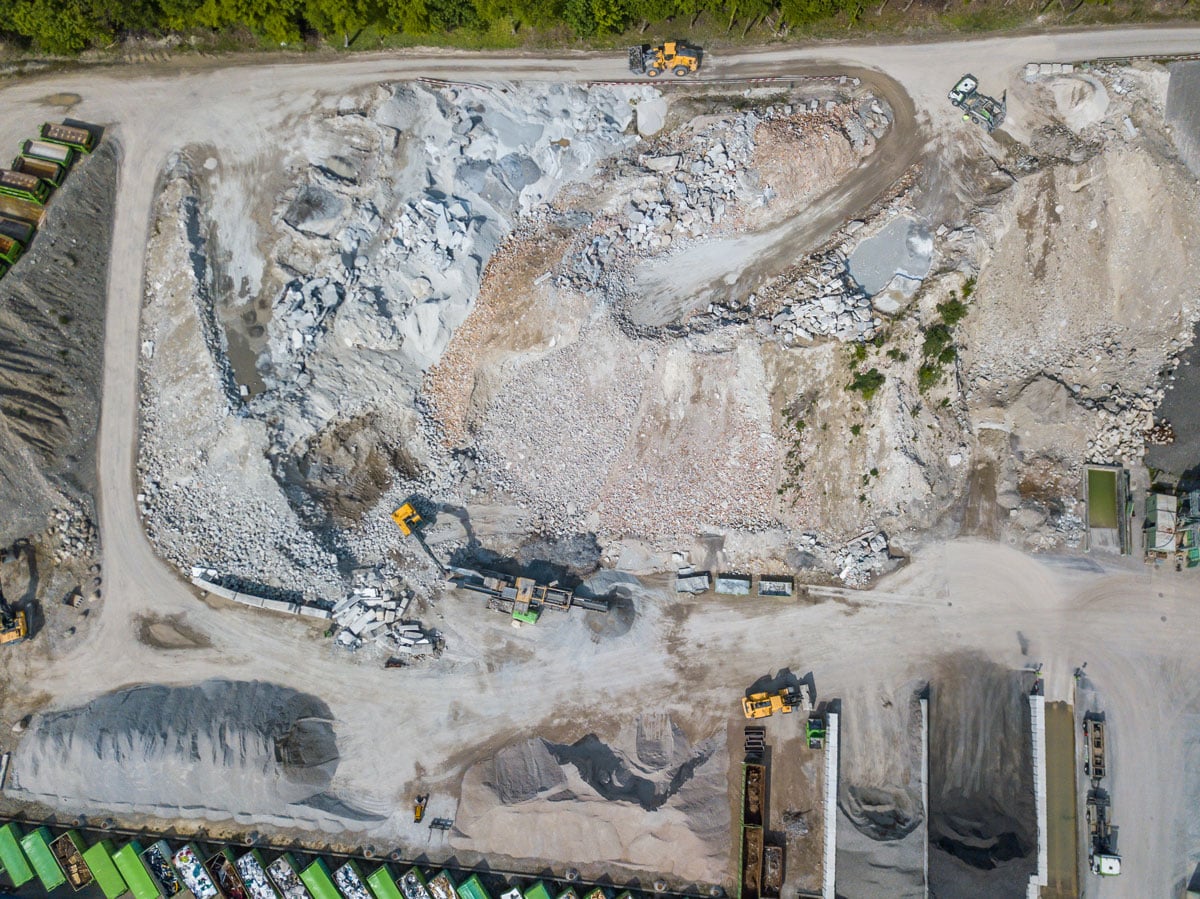
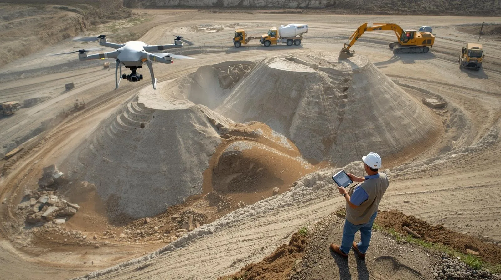
How drones are changing heap measurements – the technology’s edge in ground geometry
Czytaj Dalej
How to create a subscription service like Netflix in the drone industry? A guide for operators using the SkySnap platform
Czytaj Dalej
Laser drone scanning in surveying: modern surveying solutions
Czytaj Dalej
How to make money from drones? Find out how heap counting function can transform your business!
Czytaj Dalej
How can a drone company collect regular payments? A guide to Stripe in Polish conditions
Czytaj Dalej
Inspection drones: The best solutions for the engineering industry
Czytaj Dalej
Inspection drone job – how to start a career in a modern profession
Czytaj Dalej
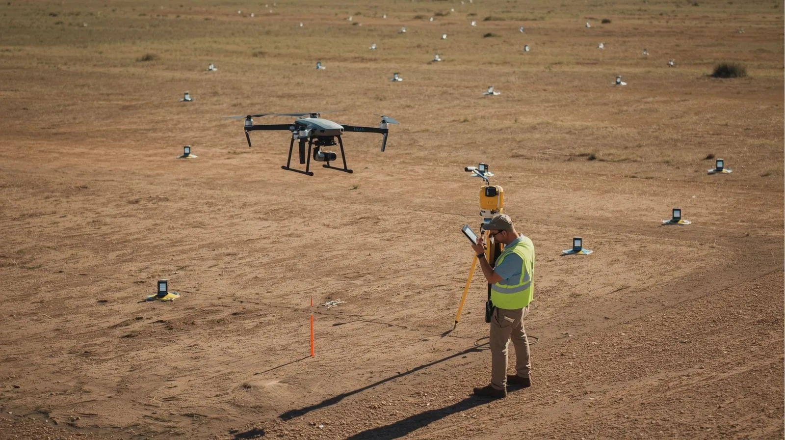
Surveying by drone – modern solutions for surveyors
Czytaj Dalej
Drone exam – best tips on how to pass the first time!
Czytaj Dalej
How to shoot with a drone – proven tips for every photographer
Czytaj Dalej
Methods of situational surveying by drone: Modern surveying solutions
Czytaj Dalej
How can drone companies increase their revenue?
Czytaj Dalej
Accuracy of drone measurements: Key aspects and practical applications
Czytaj Dalej
Weather conditions and drone flying – how to ensure safety?
Czytaj Dalej
Advanced drone survey techniques in construction – a guide
Czytaj Dalej
Practical applications of drones with lidar technology in various industries
Czytaj Dalej
Best practices for drone inspections in 2025
Czytaj Dalej
Drone with infrared camera: Applications, technologies and model reviews
Czytaj Dalej
UAV thermal imaging – a new era in thermal data analysis
Czytaj Dalej
Surveying error vs. drones: How to avoid the most common problems
Czytaj Dalej
Laser scanner surveying vs. drones: Modern solutions in surveying
Czytaj Dalej
Cartography by drone: How to use drones for precision mapping
Czytaj Dalej
Topography by drone: How to create accurate maps and surveying measurements
Czytaj Dalej
Jobs and assignments for surveyor and drone companies – opportunities and challenges
Czytaj Dalej
Making money with drones: Effective methods and tips for beginners
Czytaj Dalej
How to obtain a UAVO qualification certificate? A step-by-step guide
Czytaj Dalej
Pre-flight drone checklist: What you need to know before takeoff
Czytaj Dalej
Recreational drone flights – how to fly safely and legally?
Czytaj Dalej
Best drone with IR camera for professional use in 2025
Czytaj Dalej
Thermal imaging by drone – effective methods for thermal imaging analysis
Czytaj Dalej
3D drone filming – how to create breathtaking videos? – SkySnap
Czytaj Dalej
3D photogrammetry by drone: modern solutions for the surveying industry – SkySnap
Czytaj Dalej
Surveying accuracy – challenges and standards in practice – SkySnap
Czytaj Dalej
Lidar what it is – Key information and applications of LiDAR technology
Czytaj Dalej
RTK method: best practices in precision surveying – SkySnap
Czytaj Dalej
Modern thermal imaging measurements from a drone – effectiveness and applications
Czytaj Dalej
Flying a drone in Poland – a guide to regulations and safety
Czytaj Dalej
Flying a drone in Poland: A guide to regulations and safety
Czytaj Dalej
Drone in company costs – what do you need to know about billing?
Czytaj Dalej
A fine for flying a drone – what do you need to know about penalties and regulations?
Czytaj Dalej
Can a drone fly over a property? Regulations and rules you need to know
Czytaj Dalej
Professional drone services – The best solutions for your business
Czytaj Dalej
Process mapping detail by drone: how to achieve the best results
Czytaj Dalej
Is a drone an aircraft? An overview of regulations and definitions.
Czytaj Dalej
What is a gyroscope in a drone? Key information and applications
Czytaj Dalej
What kind of range do drones have? Key factors affecting their capabilities
Czytaj Dalej
How high can a drone fly? A practical guide for everyone
Czytaj Dalej
Can a drone fly over private property? Find out what the regulations say.
Czytaj Dalej
Do you need a permit to fly a drone? A practical guide for everyone
Czytaj Dalej
UAV what is it? Basic information about unmanned aerial vehicles
Czytaj Dalej
Drones construction flight regulations – A complete guide for beginners
Czytaj Dalej
Thermal imaging measurements from a drone – effective plant diagnostics
Czytaj Dalej
Is a drone certification necessary? Check before you take off!
Czytaj Dalej
How to pass the drone exam? Practical tips for future pilots.
Czytaj Dalej
Building a drone – A guide to the best materials and technologies – SkySnap
Czytaj Dalej
Drones in construction: Modern technology for better efficiency
Czytaj Dalej
The most common problems with orthophotos and how to solve them effectively
Czytaj Dalej
Photogrammetry by drone: How to use drones in surveying?
Czytaj Dalej
Construction surveying by drone – fast and precise solutions for investments
Czytaj Dalej
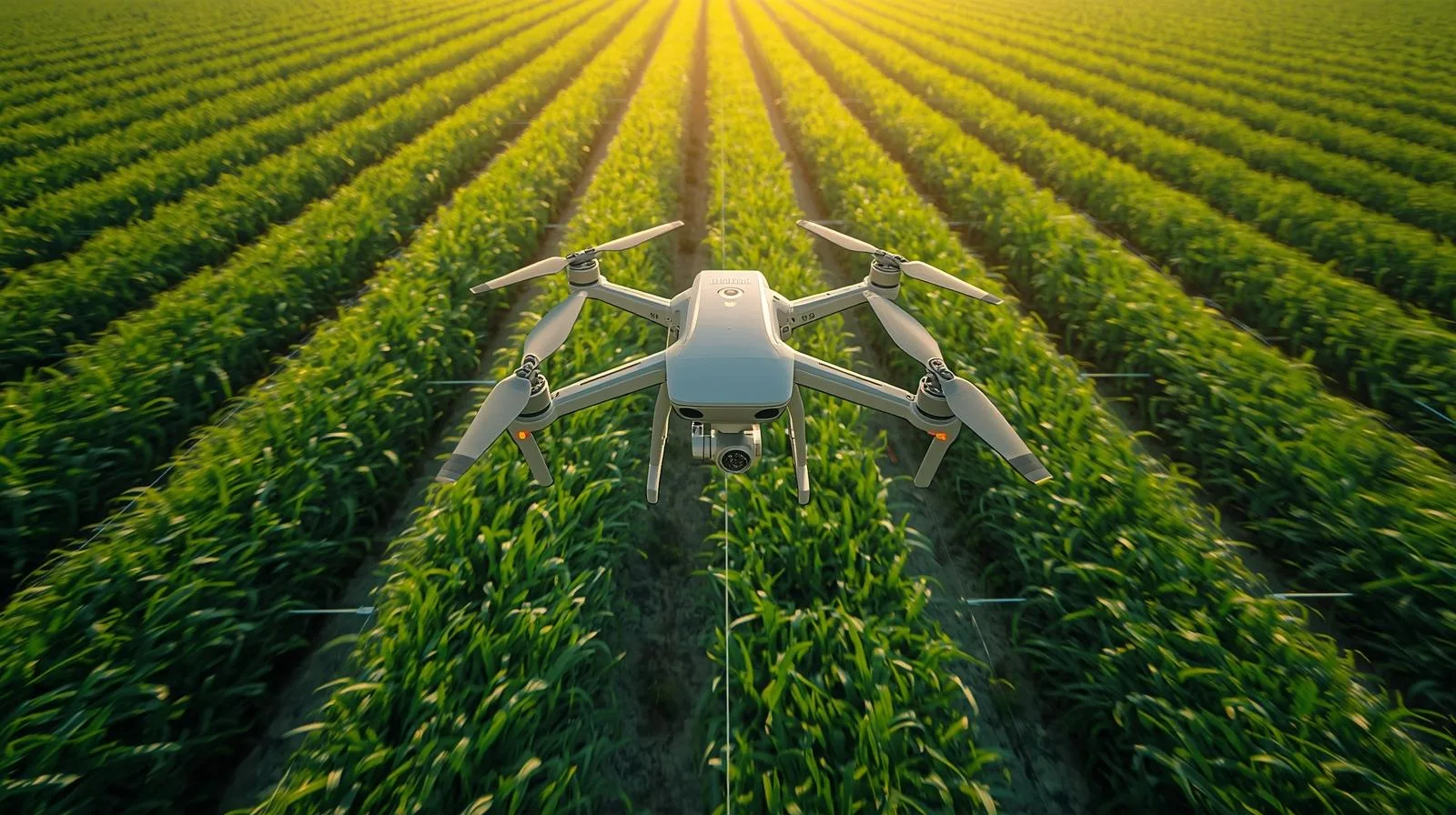
Real time kinematics and drones – A precise way to succeed in agriculture
Czytaj Dalej
Effective monitoring of construction progress: Steps and tools for monitoring
Czytaj Dalej
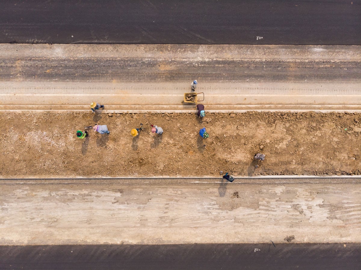
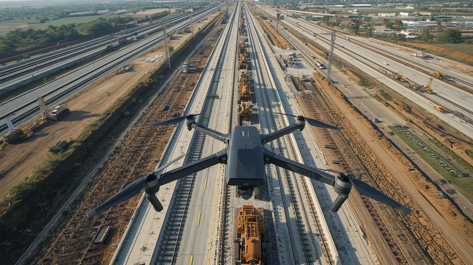
Drones in linear construction: modern solutions and applications
Czytaj Dalej
How to make money from a drone? Practical methods and tips for beginners – SkySnap
Czytaj Dalej
Lidar from a drone: modern solutions in mapping and terrain analysis
Czytaj Dalej
Innovative surveying maps from a drone – efficiency and time savings
Czytaj Dalej
Terrain Mapping: Best techniques and tools for professionals – SkySnap
Czytaj Dalej
Construction site inventory – a key step to effective management
Czytaj Dalej
Drone inspections: best practices and techniques for professionals
Czytaj Dalej
Drones in surveying – how to effectively use modern technology
Czytaj Dalej
Drone flyovers for construction – The key to effective construction site inspections
Czytaj Dalej
Effective drone flight planning: a practical guide for pilots
Czytaj Dalej
Measurement accuracy from a drone – key aspects and applications
Czytaj Dalej
Measurements of the volume of mixed masses of heaps – accurate methods and calculations
Czytaj Dalej
Drone land mapping price – what should you know before choosing a service?
Czytaj Dalej
Page load link
Go to Top


")
")

")
")