Webinars in series
Nothing Found
Related Articles
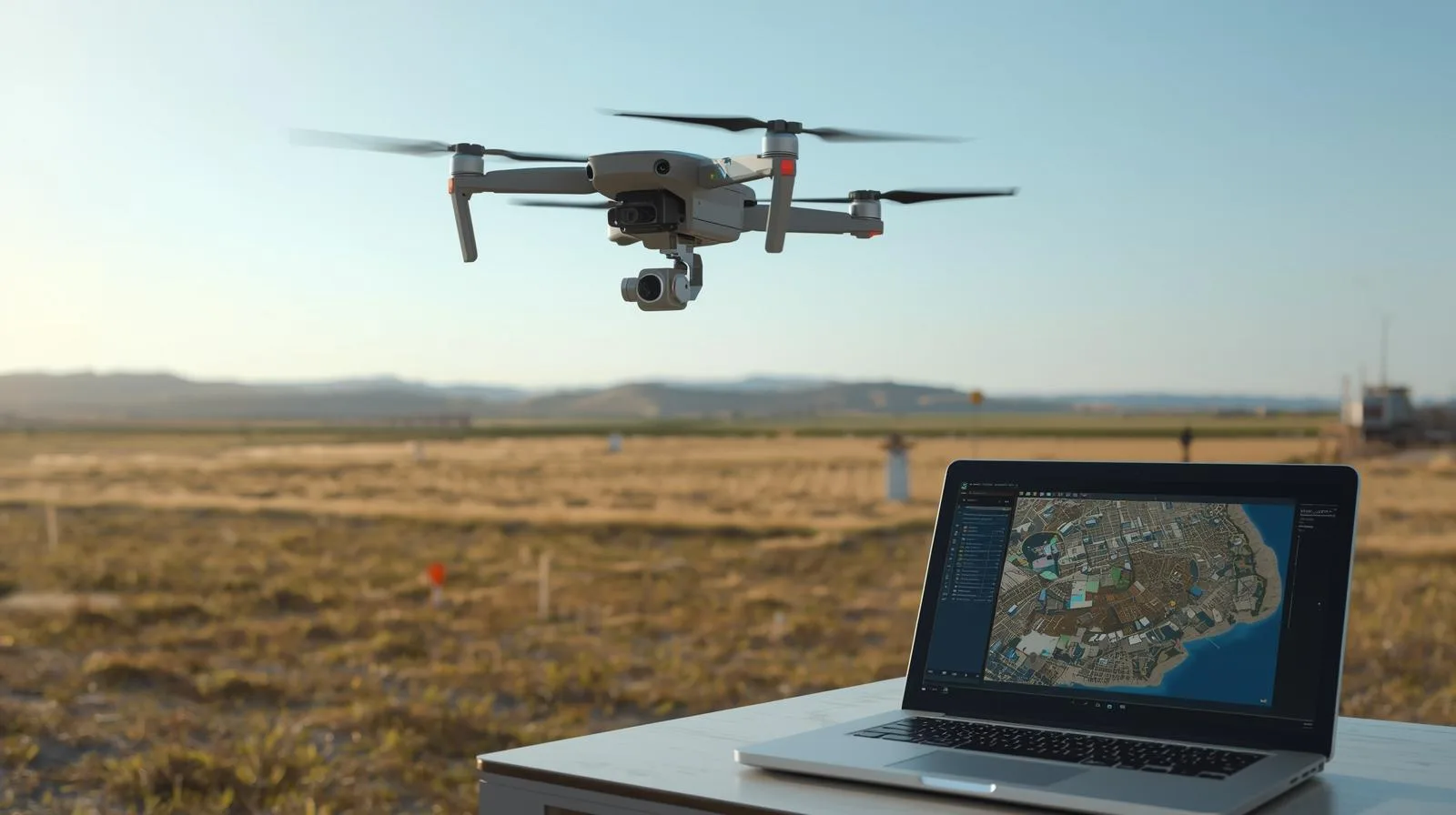
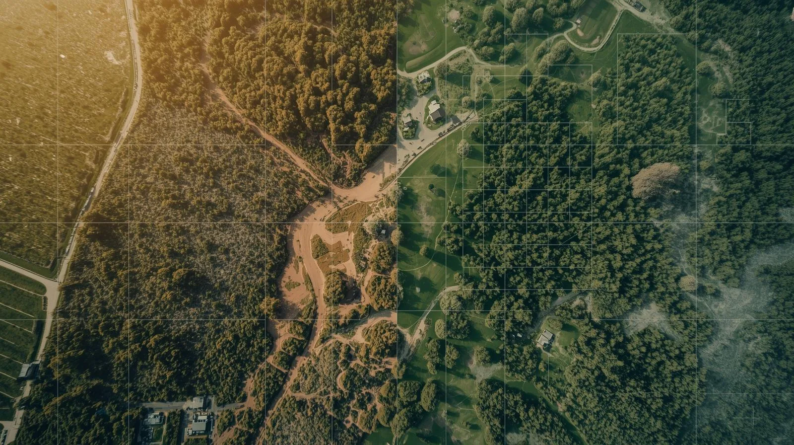
Photogrammetric air strikes and drones are a technological revolution that is changing the way maps and 3D models are created. Using precise aerial data, surveyors, urban planners and environmental specialists can analyze terrain faster and more accurately. Find out how these innovations are affecting modern cartography and the benefits they bring to various industries.
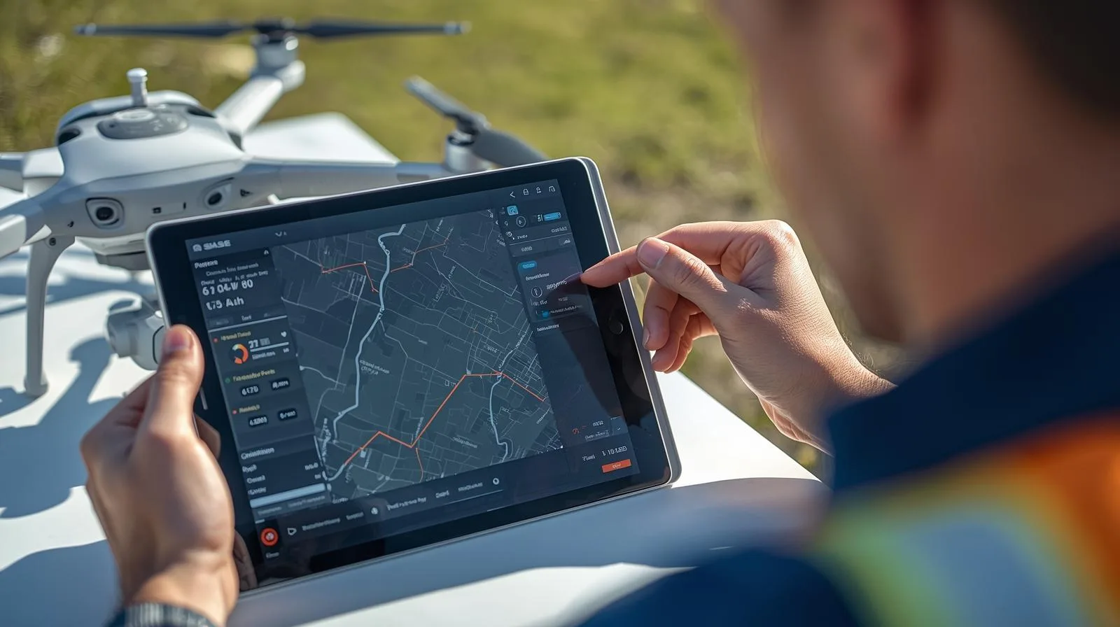
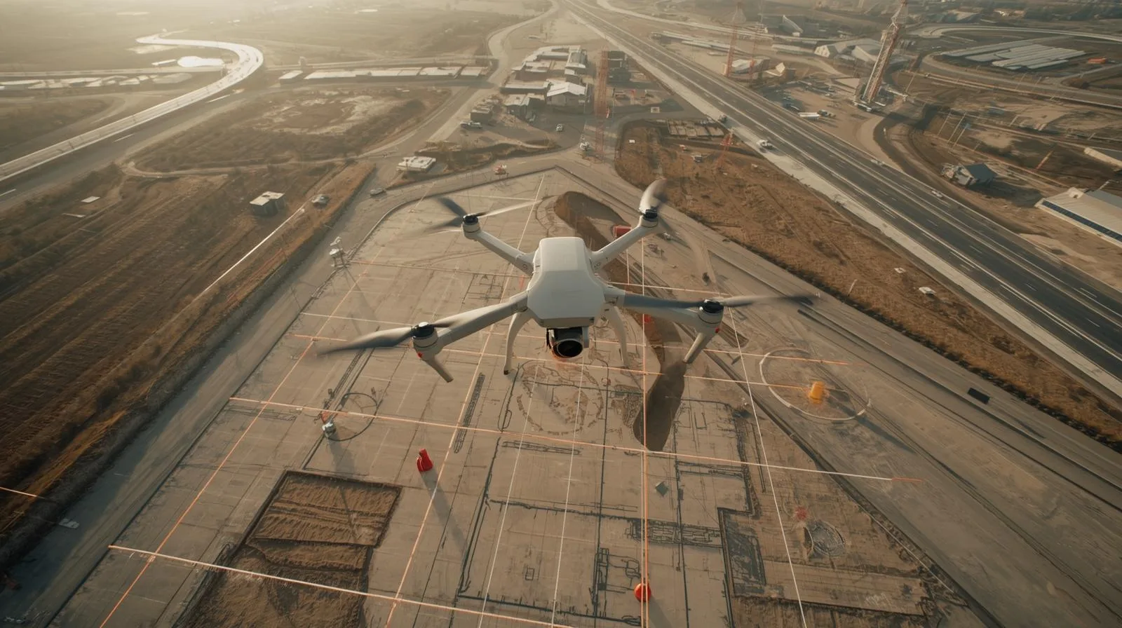
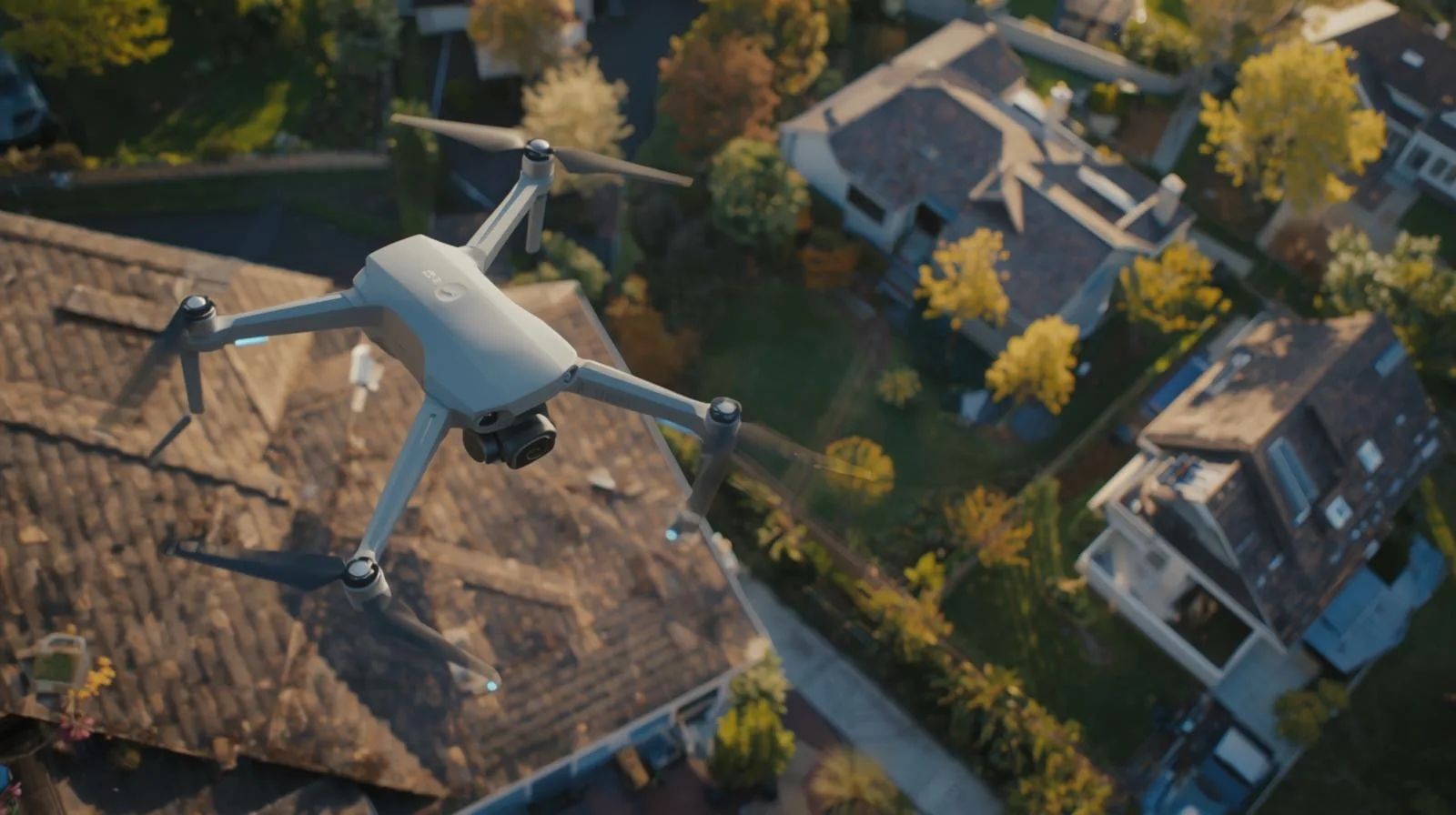
Orthophotos created by drone are a fast and accurate method of mapping terrain. In this step-by-step guide, we explain how to plan a flight, collect data and process it into accurate maps. Learn which drones and software will work best and how to avoid the most common mistakes!
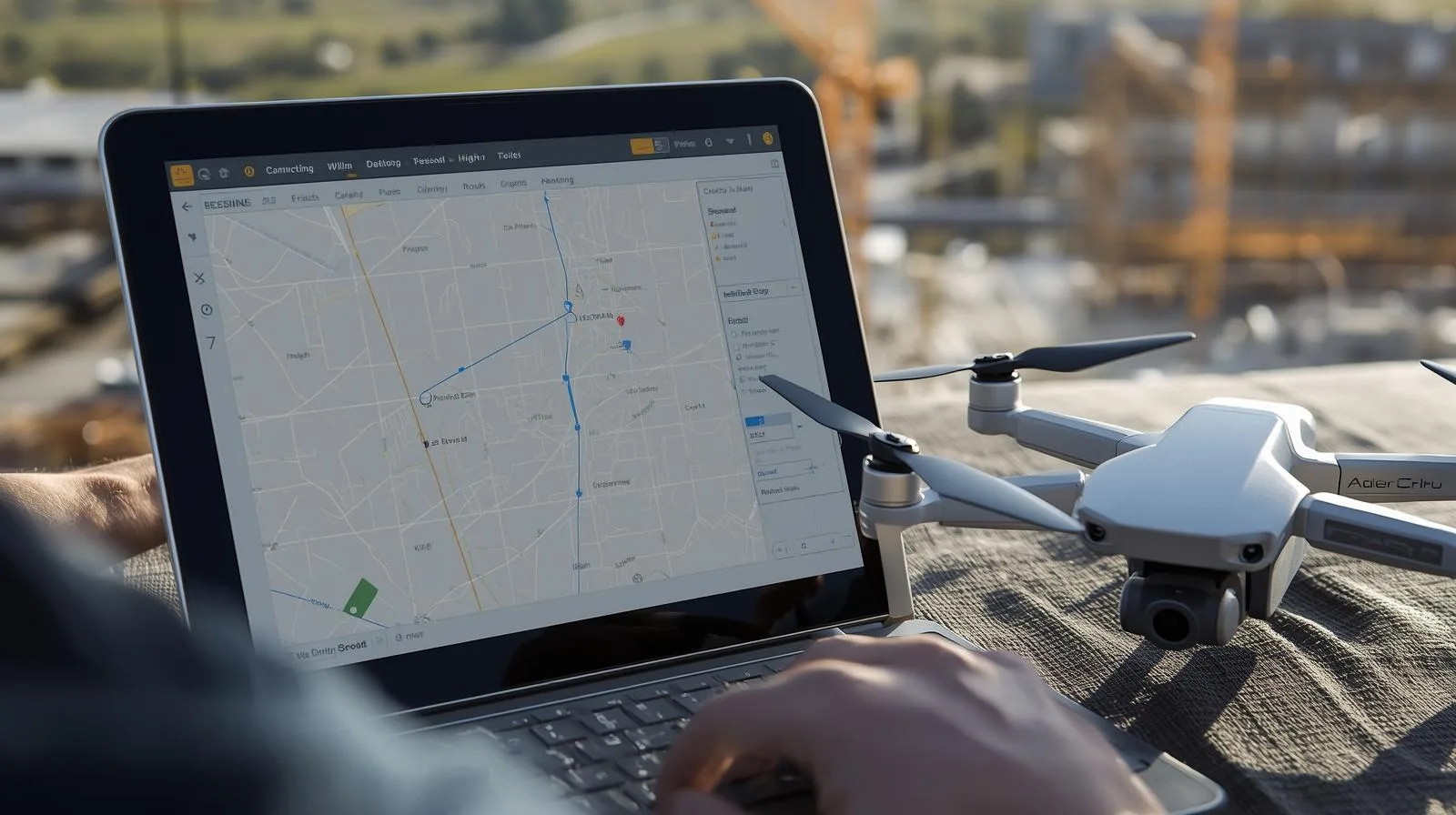
Drone flight mapping is a complicated process that becomes more manageable with the right approach. Explore our guide.
Drone flight mapping can be simple and effective! In this step-by-step guide, you'll learn the key principles of planning, choosing equipment, and using modern technology.
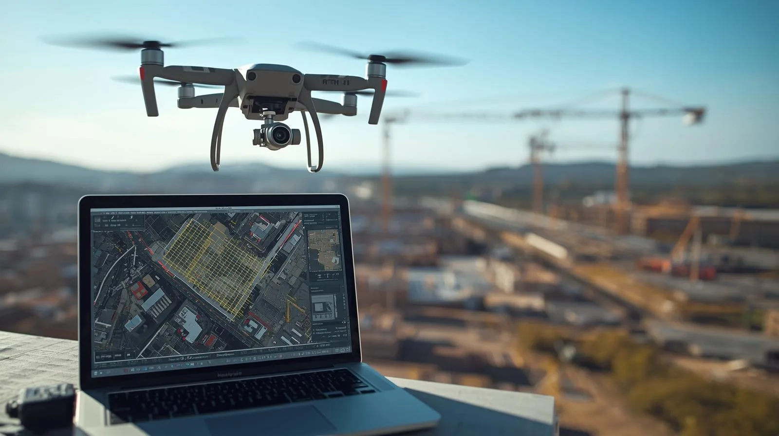
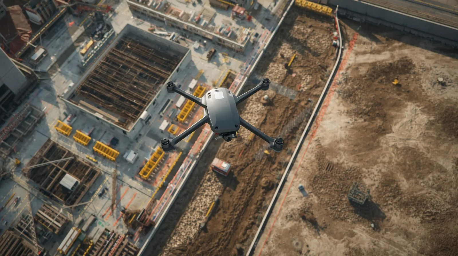
Drones are revolutionizing land mapping, offering fast and precise solutions for construction, agriculture and environmental monitoring. In this article, you will discover the key benefits of this technology and how to use it effectively.
Drones have made their home in surveying for good, changing the way land surveying and analysis is done. Learn how modern technology is speeding up surveyors' work, increasing data precision and opening up new opportunities in the industry.
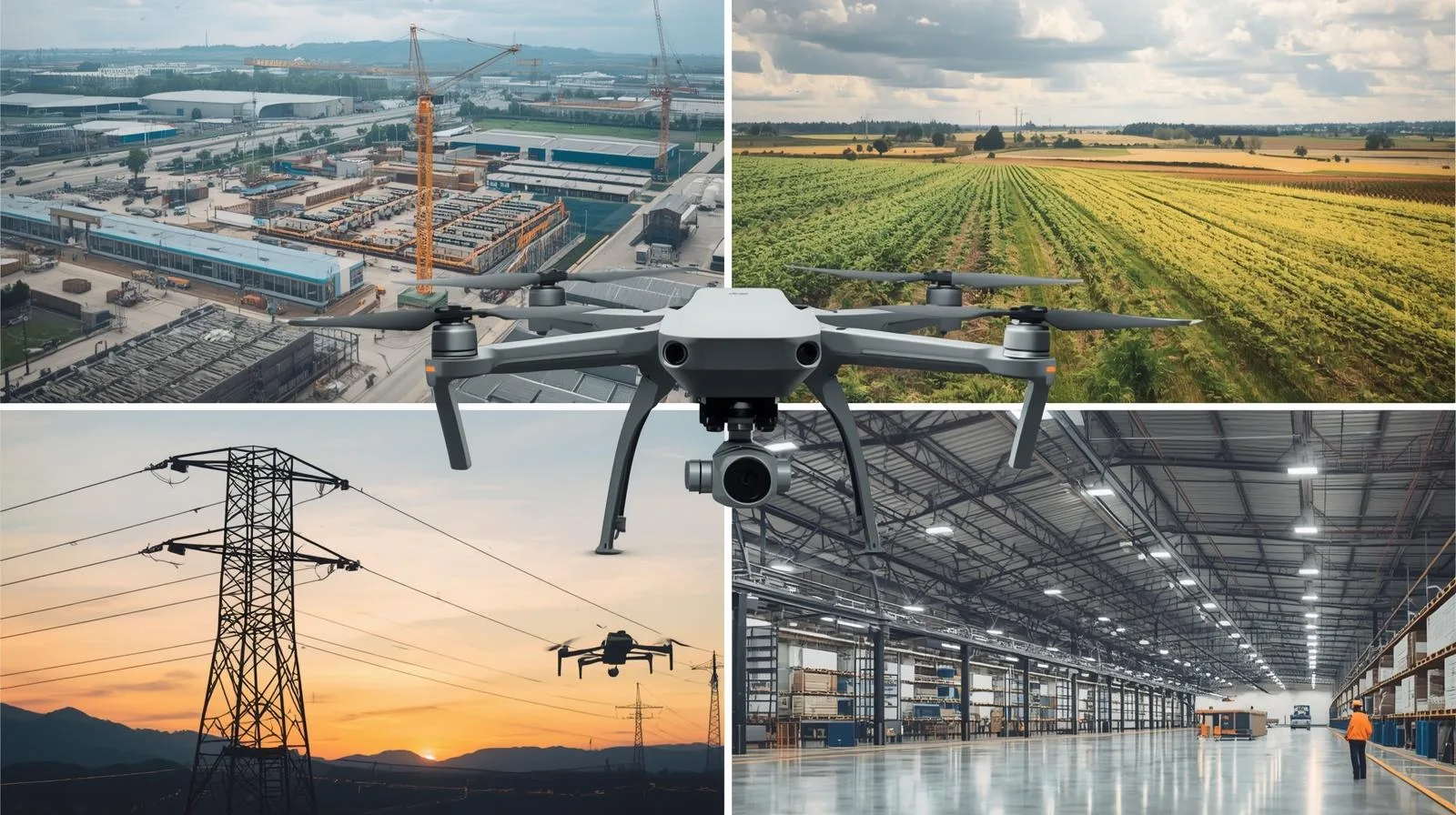
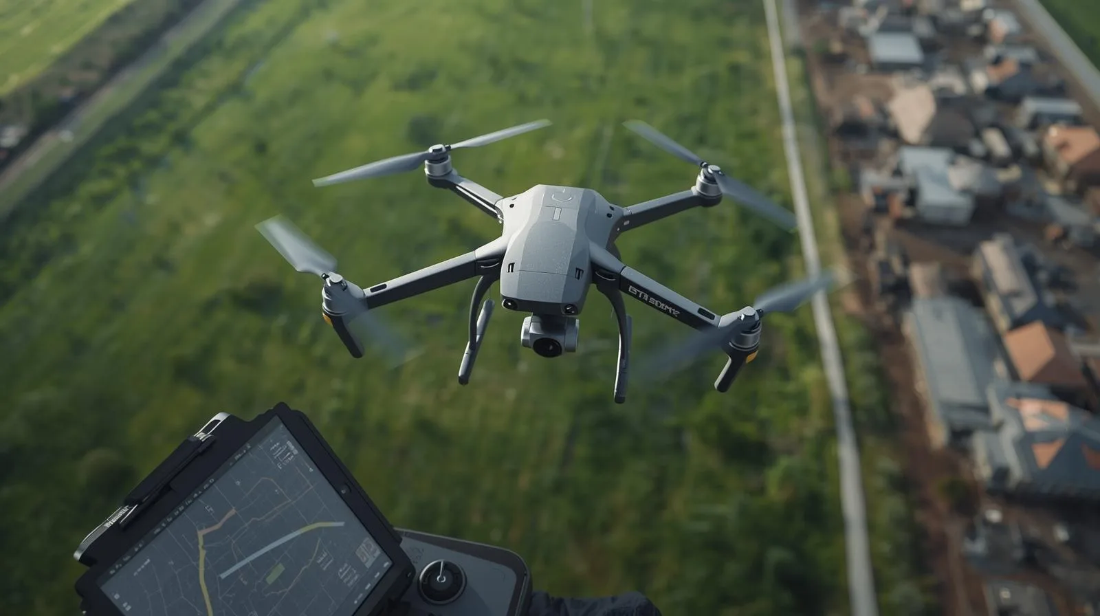
Drones are gaining popularity in many sectors - from agriculture and construction to logistics and medicine. Find out why demand for drone services is growing so rapidly and the benefits of these modern technologies.
Surveying drones are redefining land surveying, offering speed, precision and access to hard-to-reach areas. Find out how modern technology is changing the surveying industry and the benefits it brings to professionals and investors.
From this article you will learn what an orthophoto is, how it is created and what technologies are used to create it. Its key applications in urban planning, agriculture and environmental management will also be presented, as well as the future directions of this technology.
Drones are becoming an integral part of modern life, facilitating everyday tasks in a wide range of areas - from package delivery to crop monitoring to infrastructure inspection. Find out how modern drone services can affect your convenience, safety and efficiency in daily operations.

SkySnap
How can SkySnap help you with the topic of drone investment monitoring?
Accurate and Fast Inventory
Detailed data acquired from drones according to specifications for each identified object.
Reports
We perform analysis and measurements of infrastructure based on acquired data.
Dedicated Analysis and Measurement System
Online portal for easy data viewing, measurements, and collaboration among users.


")
")

")
")