



Webinars in series

Property managers, communities and insurers are looking for operators who provide a complete report - not just flight footage. Most operators don't know how to structure and price it. In this webinar, we will walk you through the entire process from A to Z.

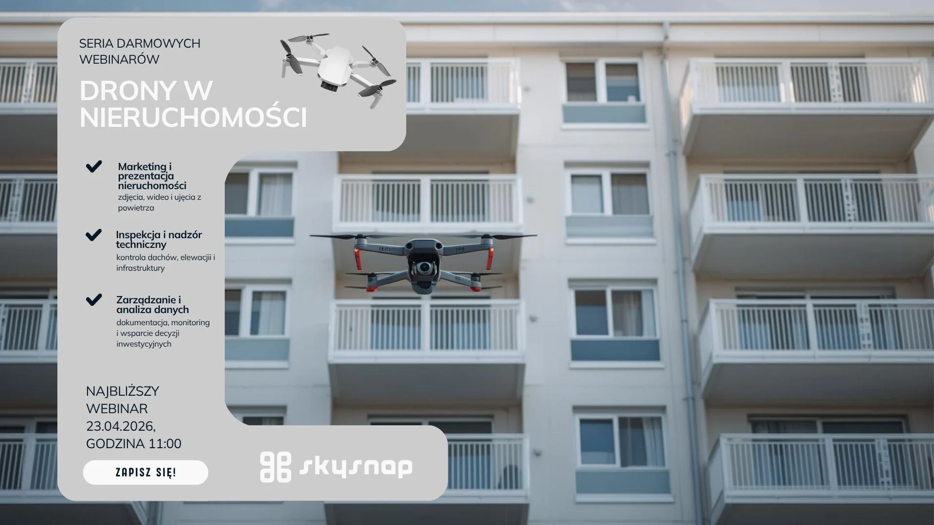
Free SkySnap webinar - 21.04.2026, at. 11:00. We will show a new inspection module for buildings and automatic data processing functions (3D models, orthophotos). Practical demo and implementation ideas for drone companies, surveyors and photogrammetrists.
Managing a modern building is a constant battle against the passage of time and the destructive influence of nature. Whether you're looking after an office building, an industrial hall or a housing development, the greatest dangers lurk where the eye can't see - in the highest parts of the structure and in hard-to-reach places. The roof, gutters, flashings and facade details are the front line in the clash with rain, frost and UV radiation.
The roof is one of the most expensive parts of a building... especially when problems are noticed too late. Leaks, damage or lingering water often remain invisible without an expensive and risky visual inspection.
What if you could check the condition of the roof quickly, accurately, and without climbing high?
During the webinar, we will show how to use roof inspection drones in practice - not just to take pictures, but to create real-world useful documentation that supports renovation decisions and conversations with contractors.

It used to be that inventories of waterfronts and reservoirs required difficult point measurements. Today, unmanned technology and the use of bathymetry make it possible to create a complete set of depth data. Having data from above and below the water yields a continuous terrain model which allows for earthwork measurements and spatial analysis.
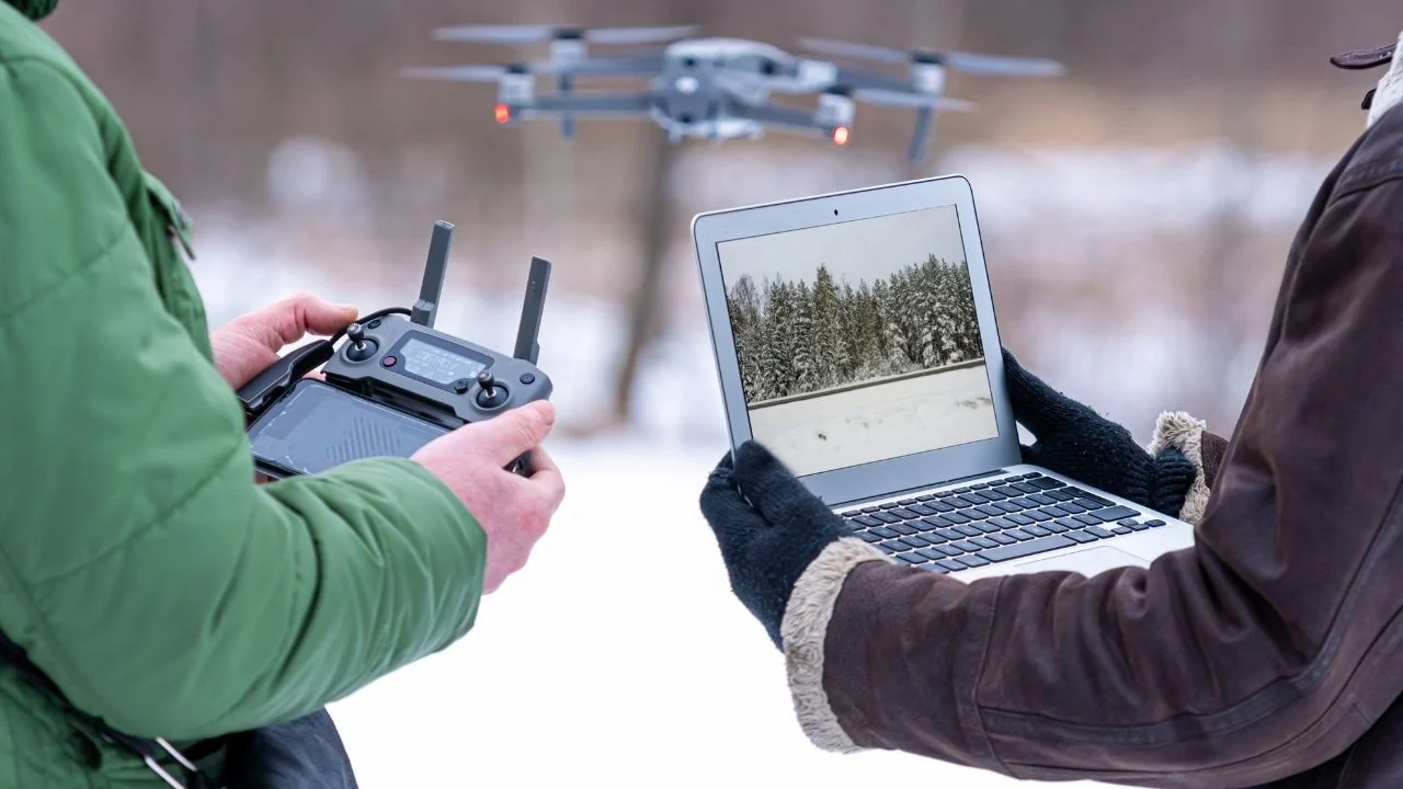
Measuring land and buildings, environmental monitoring, or use in the [...]
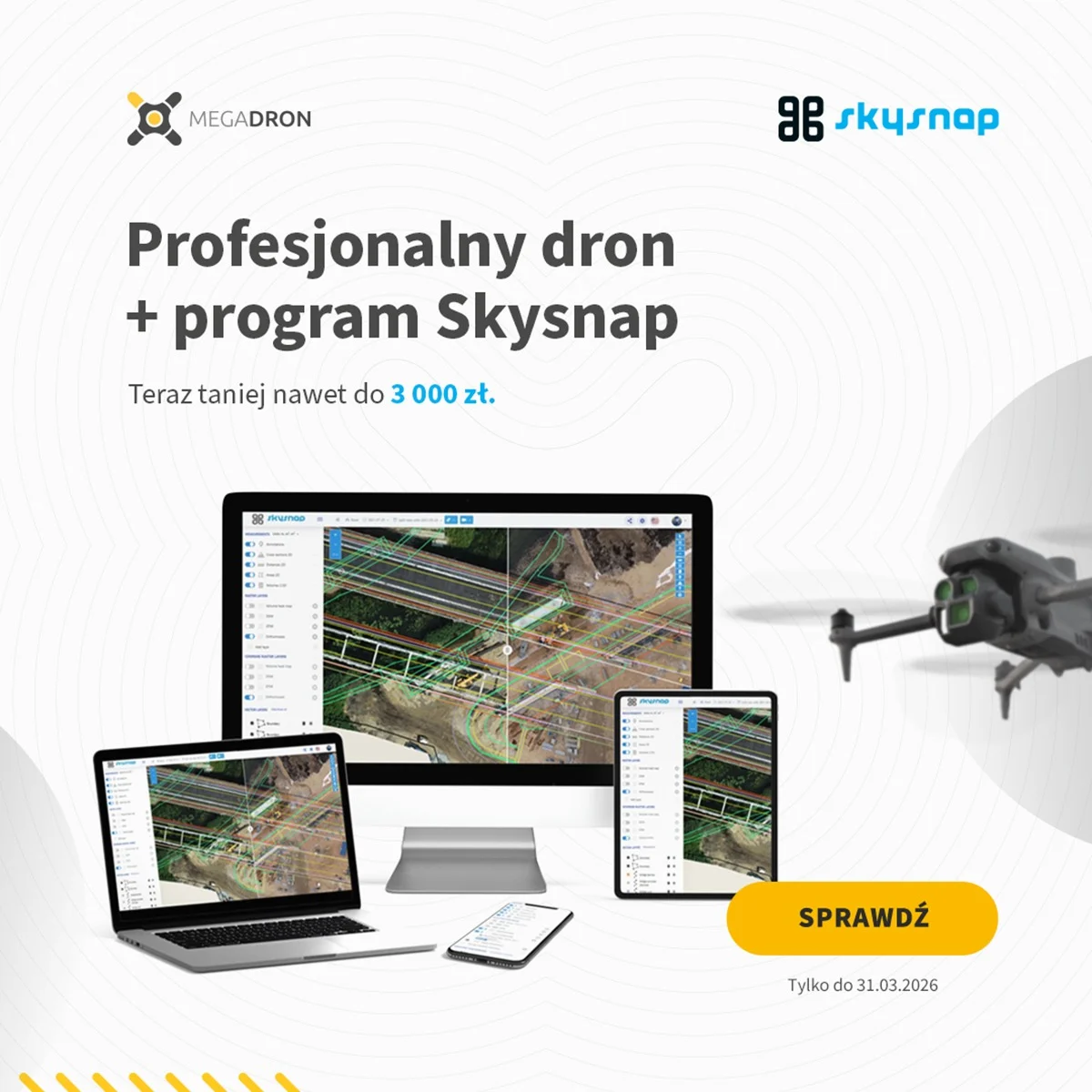
On the occasion of Surveyor's Day, Megadron and SkySnap have prepared a special promotional campaign for those who want to work faster, more convenient and more professionally. It's an offer aimed at surveyors, drone operators and companies carrying out measurements, documentation and field analysis using BSP technology.
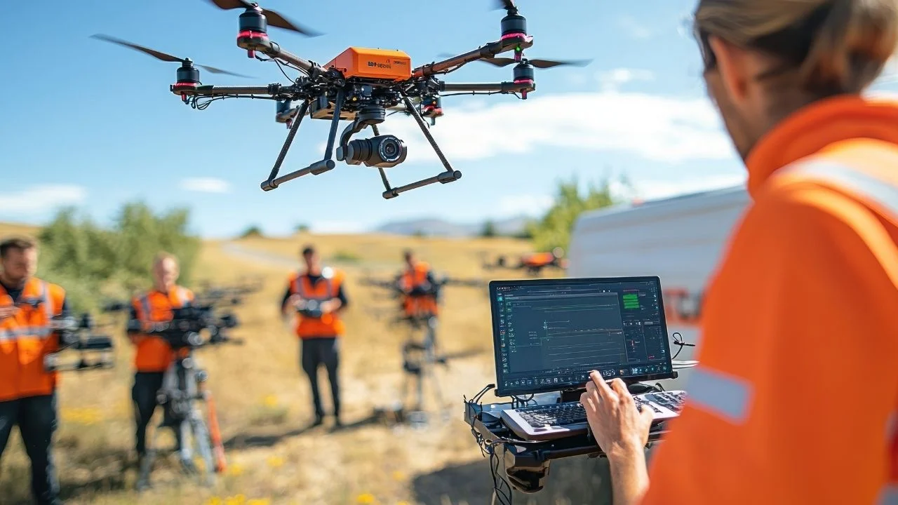
Structures, natural landscapes and even individual objects are not always [...]
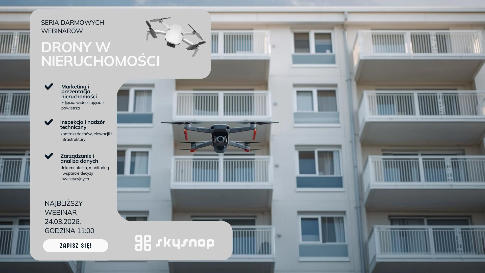
Learn how drones support property managers and housing communities in inspections and documentation. Webinar 24.03 at 11:00 a.m. Check out practical implementations.
Related Articles
Property managers, communities and insurers are looking for operators who provide a complete report - not just flight footage. Most operators don't know how to structure and price it. In this webinar, we will walk you through the entire process from A to Z.
Free SkySnap webinar - 21.04.2026, at. 11:00. We will show a new inspection module for buildings and automatic data processing functions (3D models, orthophotos). Practical demo and implementation ideas for drone companies, surveyors and photogrammetrists.
Managing a modern building is a constant battle against the passage of time and the destructive influence of nature. Whether you're looking after an office building, an industrial hall or a housing development, the greatest dangers lurk where the eye can't see - in the highest parts of the structure and in hard-to-reach places. The roof, gutters, flashings and facade details are the front line in the clash with rain, frost and UV radiation.
The roof is one of the most expensive parts of a building... especially when problems are noticed too late. Leaks, damage or lingering water often remain invisible without an expensive and risky visual inspection.
What if you could check the condition of the roof quickly, accurately, and without climbing high?
During the webinar, we will show how to use roof inspection drones in practice - not just to take pictures, but to create real-world useful documentation that supports renovation decisions and conversations with contractors.
It used to be that inventories of waterfronts and reservoirs required difficult point measurements. Today, unmanned technology and the use of bathymetry make it possible to create a complete set of depth data. Having data from above and below the water yields a continuous terrain model which allows for earthwork measurements and spatial analysis.
Measuring land and buildings, environmental monitoring, or use in the [...]
On the occasion of Surveyor's Day, Megadron and SkySnap have prepared a special promotional campaign for those who want to work faster, more convenient and more professionally. It's an offer aimed at surveyors, drone operators and companies carrying out measurements, documentation and field analysis using BSP technology.
Structures, natural landscapes and even individual objects are not always [...]
Learn how drones support property managers and housing communities in inspections and documentation. Webinar 24.03 at 11:00 a.m. Check out practical implementations.

SkySnap
How can SkySnap help you with the topic of drone investment monitoring?
Accurate and Fast Inventory
Detailed data acquired from drones according to specifications for each identified object.
Reports
We perform analysis and measurements of infrastructure based on acquired data.
Dedicated Analysis and Measurement System
Online portal for easy data viewing, measurements, and collaboration among users.













