Webinars in series
Nothing Found
Related Articles
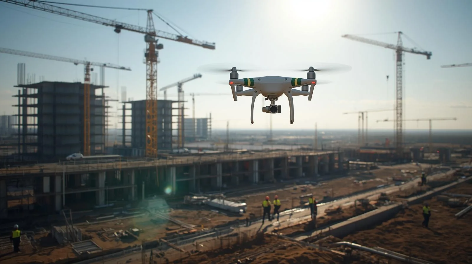
Drones have revolutionized the construction industry, offering precise monitoring, inspection and real-time data analysis. Their use increases project efficiency, improves worker safety and reduces operational costs. Find out how modern technology is influencing the development of the construction sector and what opportunities it opens up for engineers and investors.
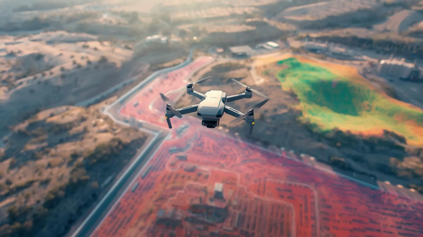
Modern topography is based on innovative technologies, and topographic drones play a key role in it. Thanks to their advanced sensors and GPS systems, they make it possible to map terrain quickly and accurately, making them indispensable in construction, agriculture or urban planning. In this article, we will take a look at how these modern devices work, their main advantages and how they can revolutionize the way geographic data is collected.
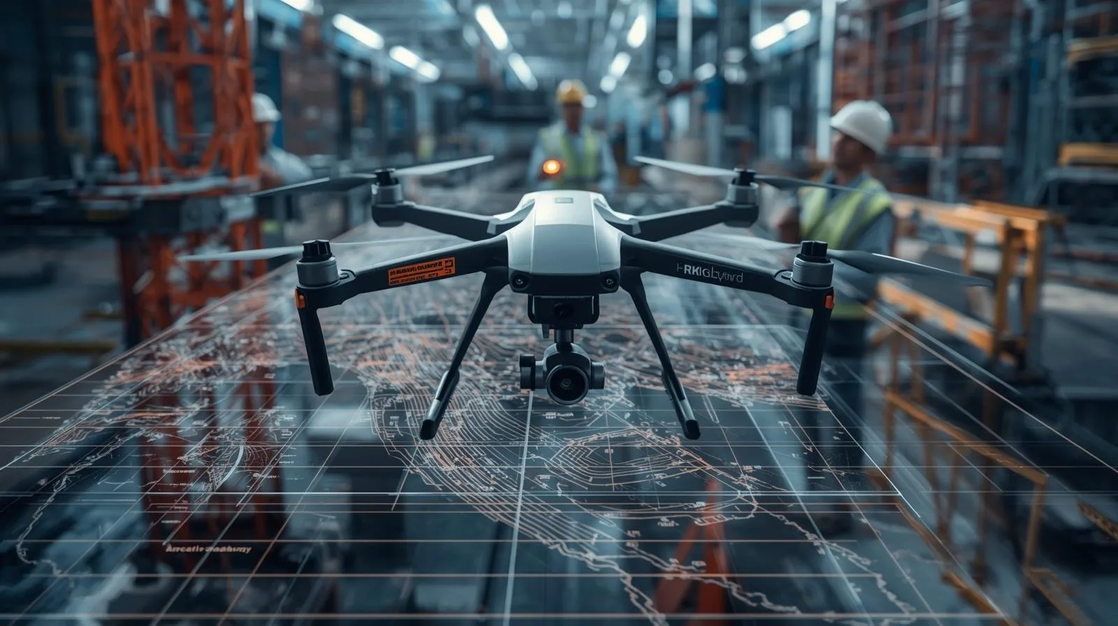
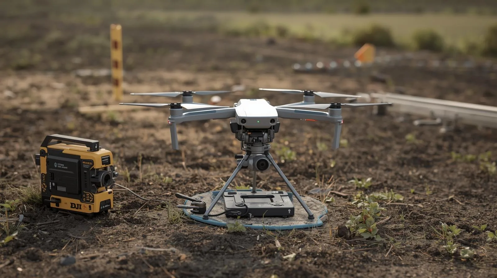
Modern drones equipped with advanced surveying technologies are revolutionizing the construction industry. With LiDAR systems, photogrammetry and 3D modeling, they enable fast, precise and efficient data collection, improving every stage of a project. In this article, we take a look at key drone surveying techniques and their application in construction projects. Find out how modern technologies can improve the accuracy and safety of construction site work.

UAVO training is the key to flying drones legally and professionally. Find out what certification entitles you to and how to get it!
UAVO training is the key to flying drones legally and professionally. Find out what certification entitles you to and how to get it!

Drones have come a long way - from the first concepts of unmanned flight to advanced systems used in various industries. Their development has affected industry, agriculture, logistics and many other sectors, revolutionizing the way data is collected and processes are managed. Thanks to modern technologies such as artificial intelligence and GPS, drones are becoming increasingly autonomous and precise. In this guide, we trace the key stages of their evolution and future directions.

Safety and regulation are key aspects in drone operations. The SORA (Specific Operations Risk Assessment) risk analysis is a tool that helps drone operators identify and minimize potential risks. What steps does this process include? Why is it essential for professionals and companies using drones? In this article, we take a look at the most important aspects of SORA and its role in ensuring safe drone operations.
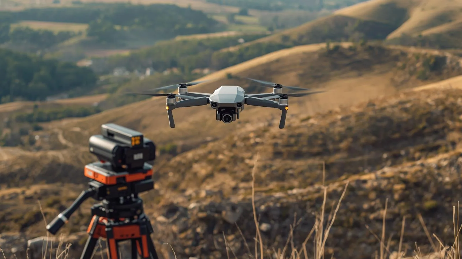
Drones have become an indispensable tool in modern surveying, offering precise measurements, fast mapping and time savings. In this guide, you'll learn which models work best for surveying - for both beginners and advanced users. You'll learn about key features, technologies and tips to help you choose the perfect drone for professional surveying applications.
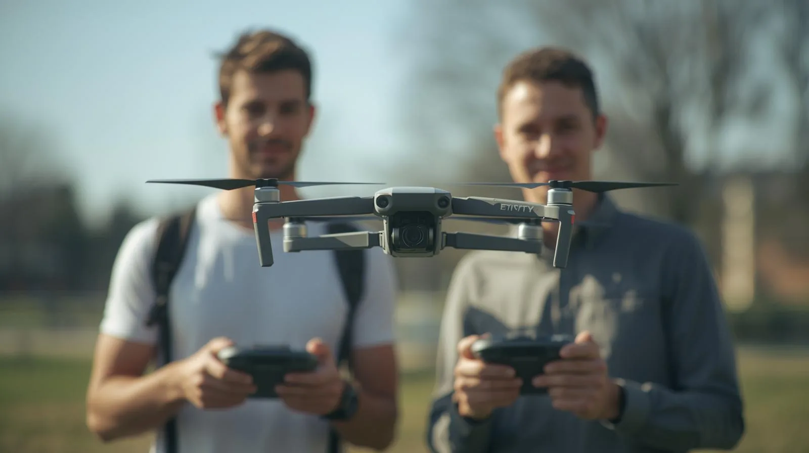
In this age of technological revolution, the ability to operate drones is becoming a core competency in many industries. Drone training not only enhances professional opportunities, but also opens the door to new career paths in construction, agriculture, logistics or filmmaking. Find out how drone courses can help you develop your skills and why they are an investment in your future!
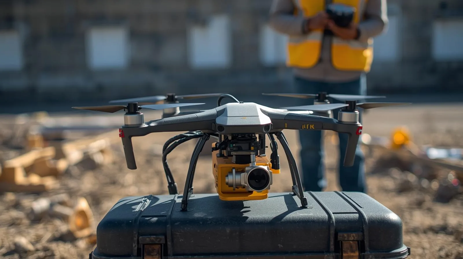
Survey drones have revolutionized the way spatial data is collected, offering precise, fast and efficient solutions for surveying, construction and infrastructure inspection. In our beginner's guide, you'll learn what survey drones are, their applications and what to look for when choosing one. Find out how modern technologies can improve your work and open up new opportunities!

SkySnap
How can SkySnap help you with the topic of drone investment monitoring?
Accurate and Fast Inventory
Detailed data acquired from drones according to specifications for each identified object.
Reports
We perform analysis and measurements of infrastructure based on acquired data.
Dedicated Analysis and Measurement System
Online portal for easy data viewing, measurements, and collaboration among users.


")
")

")
")