Webinars in series
Nothing Found
Related Articles
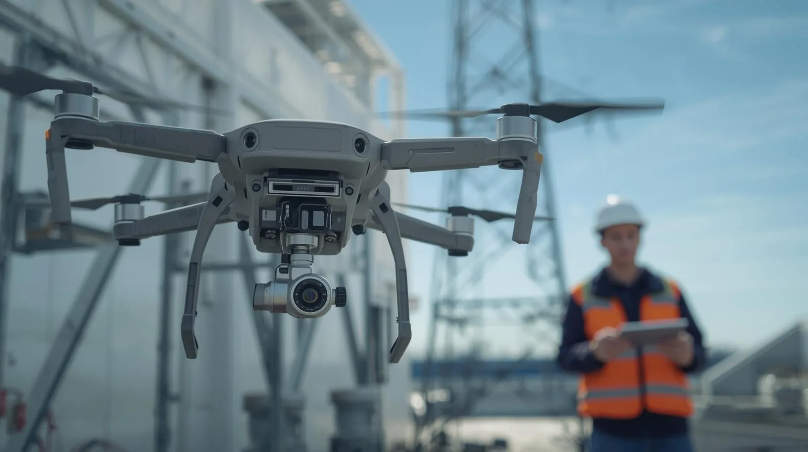
Inspections from a drone are becoming an indispensable part of modern construction, enabling quick and precise assessments of structural health. With advanced cameras and sensors, drones allow monitoring of hard-to-reach areas without the need for expensive scaffolding or inspection teams. Their use not only reduces inspection time, but also increases safety and minimizes risks to workers. In this article, we take a look at the best practices and techniques used in drone inspections and their impact on the efficiency and quality of construction processes.
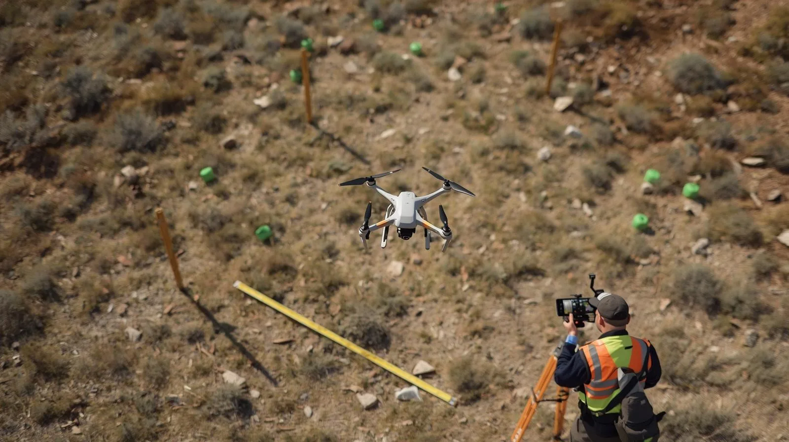
Drones in surveying are a breakthrough technology that significantly increases the precision and efficiency of land surveys. With advanced sensors and high-resolution cameras, they enable rapid mapping of hard-to-reach areas and eliminate the need for time-consuming traditional methods. Their use in surveying translates into time savings, reduced operating costs and improved work safety. In this article, we will look at how to effectively use drones in surveying and which technologies achieve the best results.

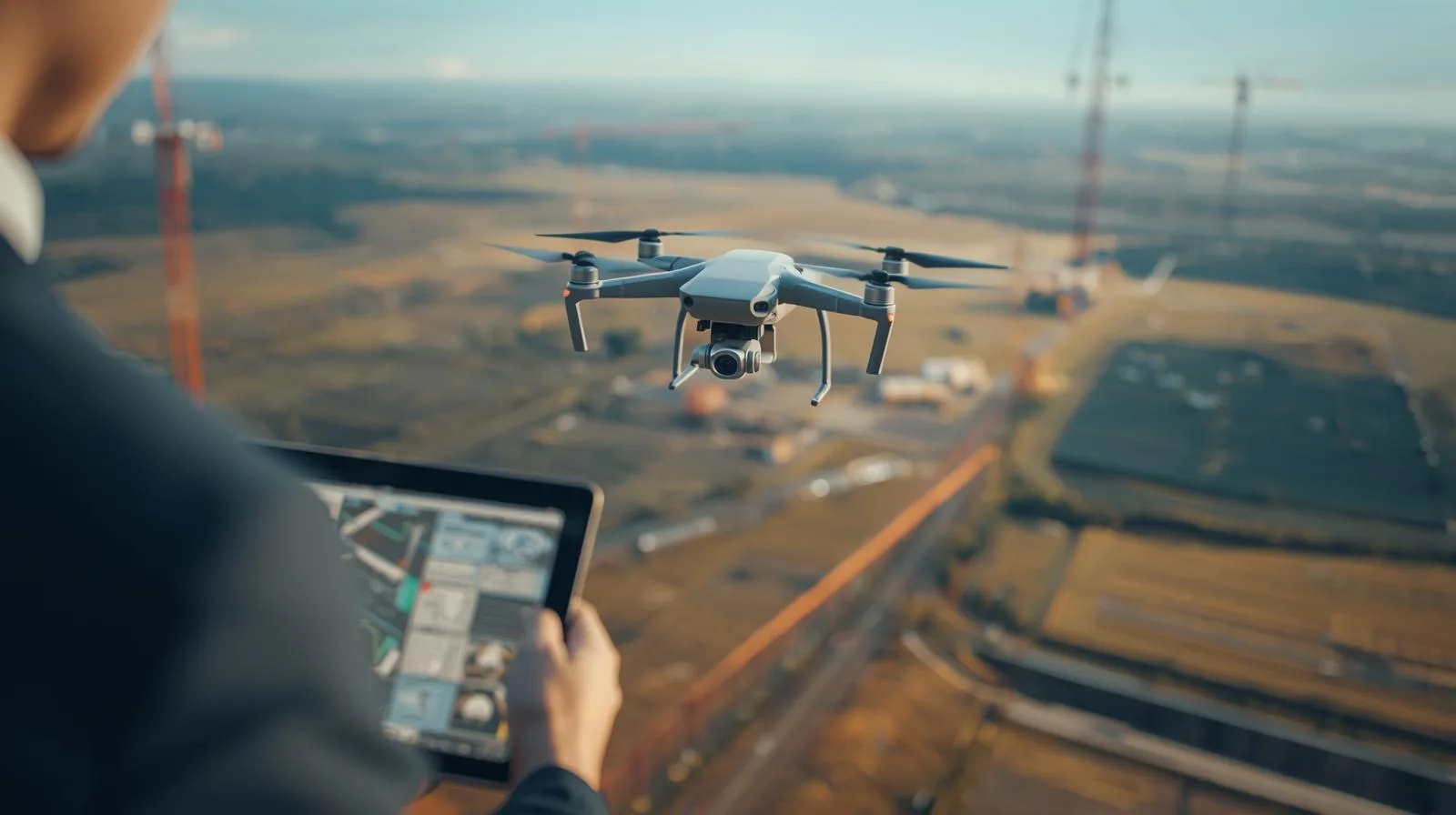
Drone flights are becoming an indispensable part of modern construction, enabling fast and precise inspections of construction sites. Thanks to advanced camera and sensor systems, drones make it possible to monitor the progress of work, analyze risks and optimize construction processes. This innovative solution not only increases safety and efficiency, but also reduces operational costs. In this article, we will discuss how drones are revolutionizing construction site inspections and what technologies are maximizing their potential.

Drone flight planning is a key element that determines the safety and effectiveness of a mission. Whether you're using a drone for inspection, mapping or photography, proper preparation helps avoid technical and legal issues. In this guide, we outline the most important principles, tools and strategies to help both beginners and advanced pilots optimize their flights. You'll learn how to analyze weather conditions, use supporting applications and manage risks during flight operations.
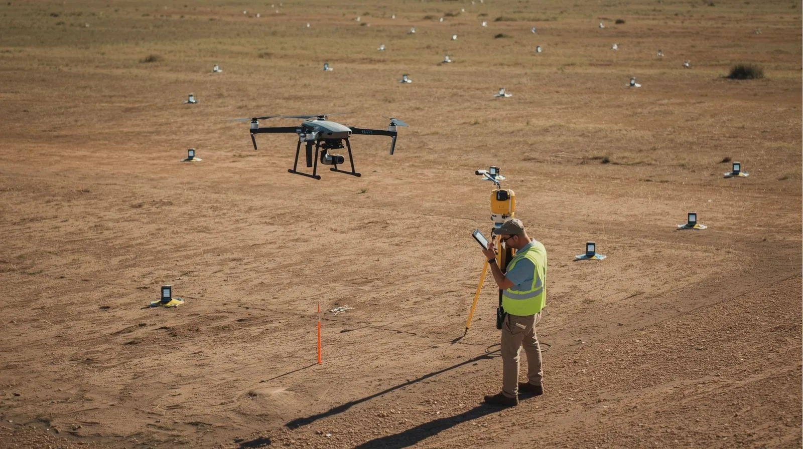
The measurement accuracy of drones is revolutionizing the way we collect data in surveying, construction and engineering. With state-of-the-art sensors such as LIDAR and photogrammetry, drones offer precise results, reducing survey time and operational costs. In this article, we'll discuss key aspects of survey accuracy, its impact on various industries, and best practices in using drones for precise terrain analysis. Learn how drone technology is changing accuracy standards and what tools are helping to achieve the best results.
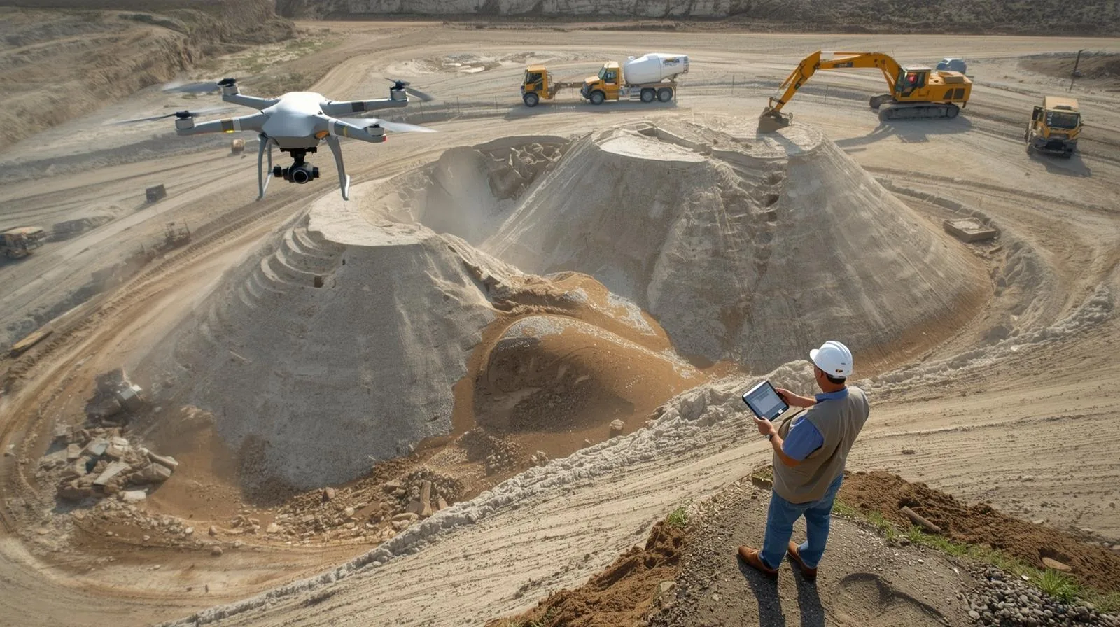
Measuring the volume of heap land masses plays a key role in construction, mining and bulk material logistics. Traditional methods are often labor-intensive and can be prone to error. The use of drones and modern measurement technologies allows for quick and accurate volume determination, resulting in time and cost savings. In this article, we will look at the calculation methods and tools used in modern surveying.
Drone land mapping is an innovative solution that offers high precision and efficiency in a variety of industries, from construction to agriculture. The cost of this service depends on a number of factors, such as the type of drone, the size of the area to be covered and the level of detail of the required data. This article discusses the key aspects that affect price, compares applications in different sectors, and provides strategies for optimizing costs. Learn what to look for before choosing a drone mapping service and how to maximize the potential of this technology.
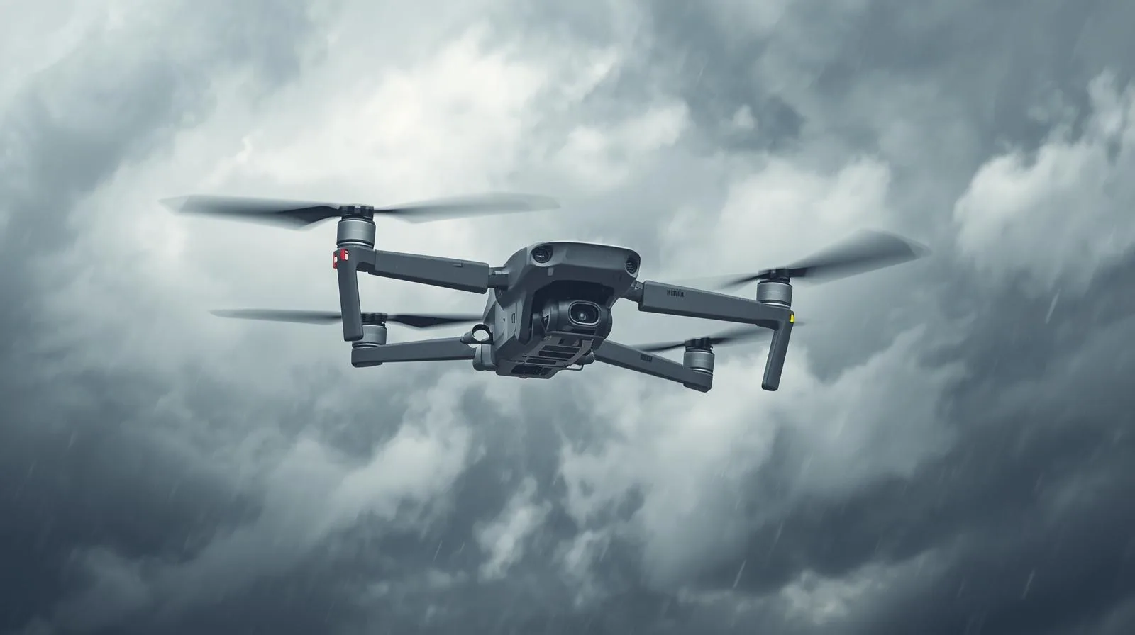
The stability of a drone's flight depends on many factors, such as aerodynamics, wind strength, temperature, as well as the quality of components such as engines, propellers and navigation systems. Proper flight preparation and operator skills are key to safe and precise drone operation. This article discusses the key aspects affecting flight stability, the importance of atmospheric conditions, as well as modern drone stabilization and autonomy technologies. Learn the principles that will help you improve your drone's control and avoid common problems during flight.
Drone photogrammetry is a modern method of acquiring spatial data that is used in construction, agriculture and surveying. By using drones equipped with advanced cameras and sensors, it is possible to quickly and accurately create maps and 3D models of the area. The technology offers time savings, cost reductions and increased accuracy of measurements compared to traditional methods. The article discusses the basic principles of drone photogrammetry, its key applications and the prospects for further development of this technology.

Training in UAV surveying technology is becoming a key element in the development of many industries. Thanks to modern training methods, professionals can effectively use drones for precise land surveying, infrastructure inspection or environmental monitoring. In this article, we outline the most important aspects of UAV training - from the technologies used to the benefits of implementing them in everyday work. Learn how to improve your skills and realize the potential of UAVs in your industry.

SkySnap
How can SkySnap help you with the topic of drone investment monitoring?
Accurate and Fast Inventory
Detailed data acquired from drones according to specifications for each identified object.
Reports
We perform analysis and measurements of infrastructure based on acquired data.
Dedicated Analysis and Measurement System
Online portal for easy data viewing, measurements, and collaboration among users.


")
")

")
")