Webinars in series
Nothing Found
Related Articles
Learn how to fit a drone raid into a geodetic layout: GCP, RTK, PPK, CRS and quality control. Step-by-step guide + checklists.
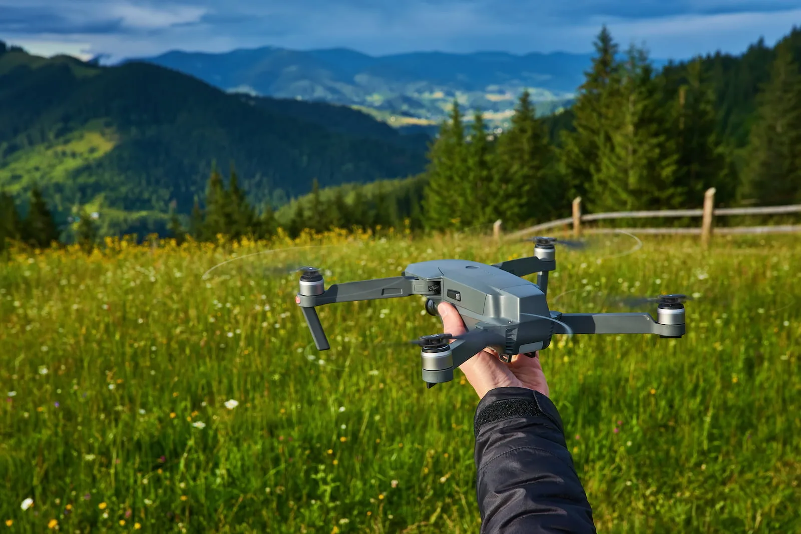
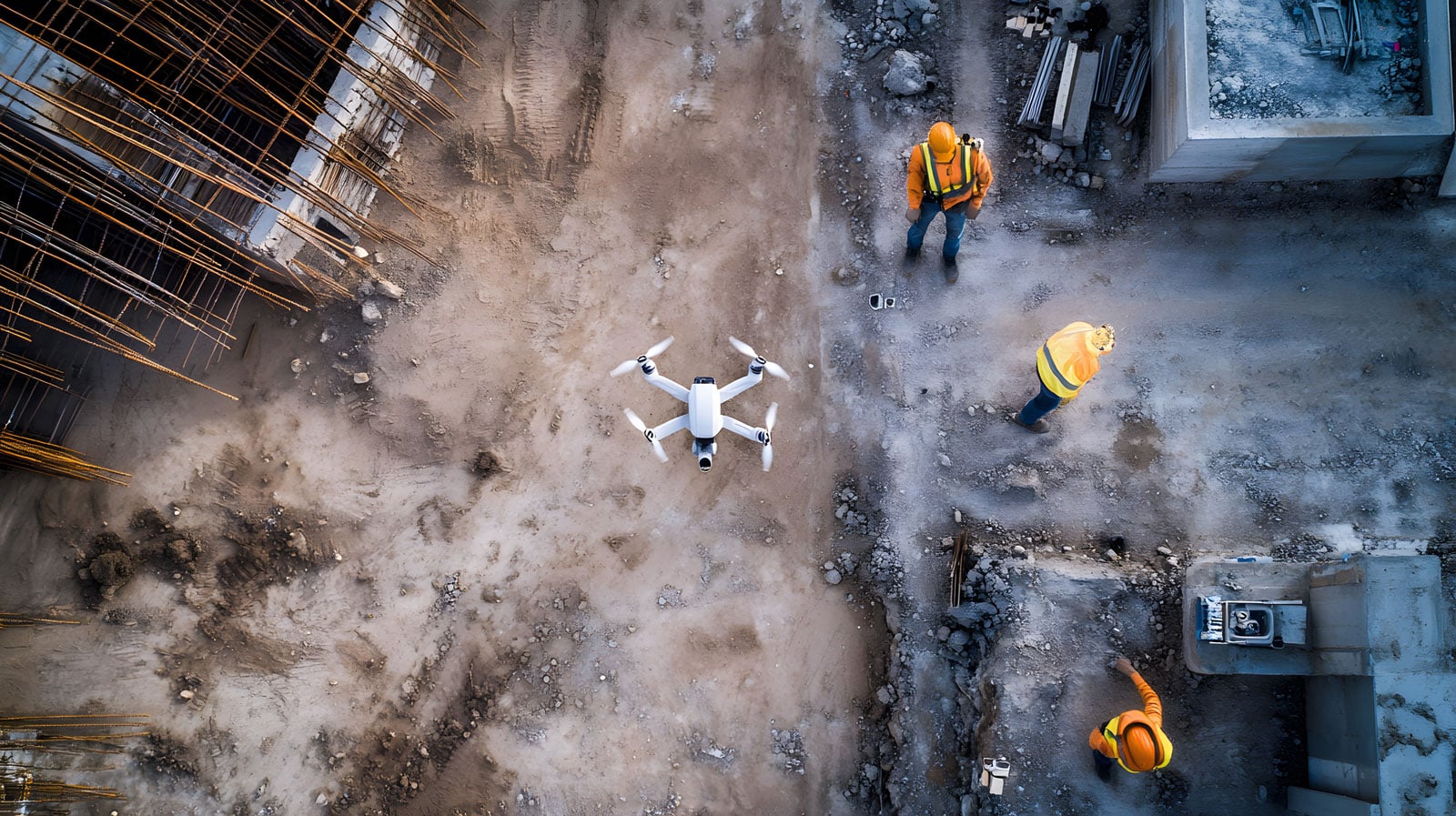
Planning a drone mission is the first and most important step if you want to obtain data that is suitable for photogrammetry. Even the best equipment and software won't guarantee high-quality orthophotos or 3D models if the raid is conducted haphazardly. That's why this guide was created to show you step-by-step how to prepare flights - both over linear developments and when creating models of buildings or roofs.
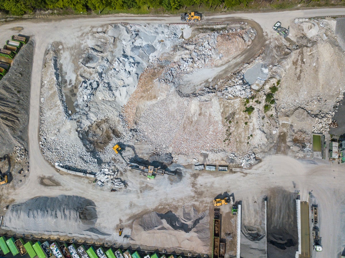
See how drones are revolutionizing heap measurements, offering greater accuracy and safety than traditional methods.
Discover how a subscription model in drone services - modeled after giants like Netflix - can transform an operator's offering. In this step-by-step guide, we'll show how to use the SkySnap platform to create compelling subscription packages, automate mission processes and build a loyal customer base.
Drones have gained immense popularity in recent years, and their use in various fields continues to expand. One area that particularly benefits from this technology is surveying, where drones are revolutionizing laser scanning. They make it possible to collect field data quickly and accurately, which significantly affects the efficiency and accuracy of surveys. In this article, we will take a look at how drones are changing the approach to laser scanning, what benefits they bring, and what challenges surveyors may face when using this modern technology. So let's explore how these flying devices are transforming traditional methods of working in this field.
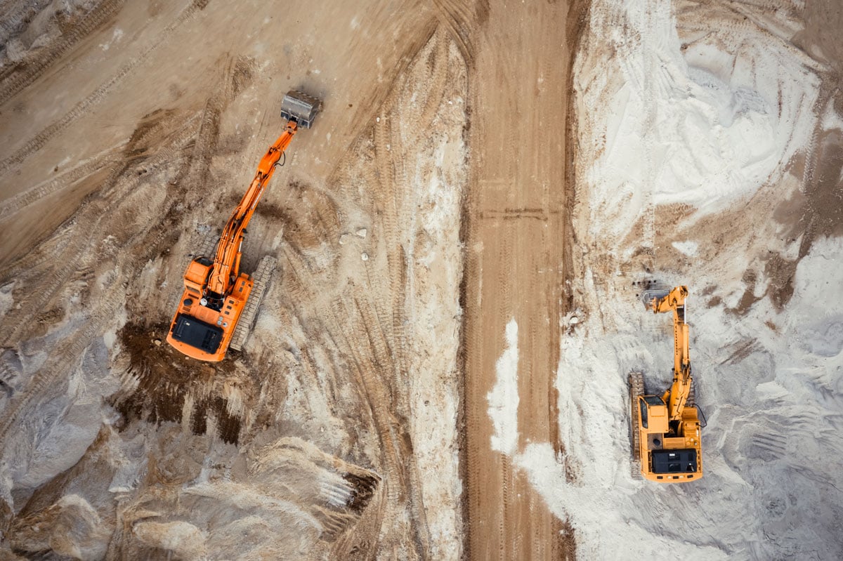
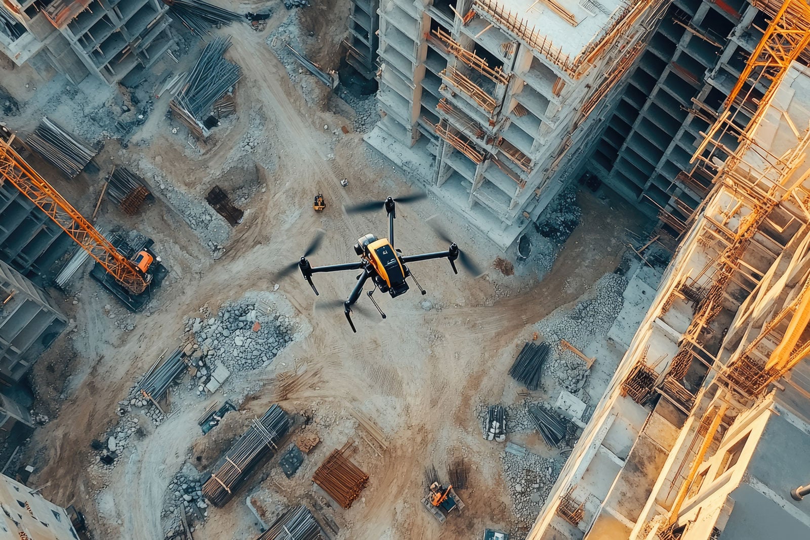
Do you own a drone and are wondering how to make money from it? Or are you already performing commercial flights, but want to expand your offerings to more profitable services? If so, you might be interested in heap counting - a service that opens up new opportunities for cooperation with the mining, construction or recycling industries.
Many drone operators provide services on a one-time basis. Meanwhile, services such as heap counting, monitoring of construction projects or cyclical inspection flights offer the possibility of steady income in a subscription model. But how to collect regular payments, issue invoices and automate the process - especially if you operate in Poland? Read our guide and learn an easy way to implement professional billing with the Stripe platform.

Discover how drones can revolutionize inspections in the engineering industry. Learn about the best solutions and their applications.
The profession of drone operator is gaining ground. Find out how to start a career in drone inspection and what steps are worth taking.

SkySnap
How can SkySnap help you with the topic of drone investment monitoring?
Accurate and Fast Inventory
Detailed data acquired from drones according to specifications for each identified object.
Reports
We perform analysis and measurements of infrastructure based on acquired data.
Dedicated Analysis and Measurement System
Online portal for easy data viewing, measurements, and collaboration among users.


")
")

")
")