Webinars in series
Nothing Found
Related Articles
Drones in surveying are a breakthrough - faster, cheaper and more accurate land surveys. Check out how they work and what they offer.
Prepare for your drone exam like a pro! Learn effective tips and pass the first time without stress.

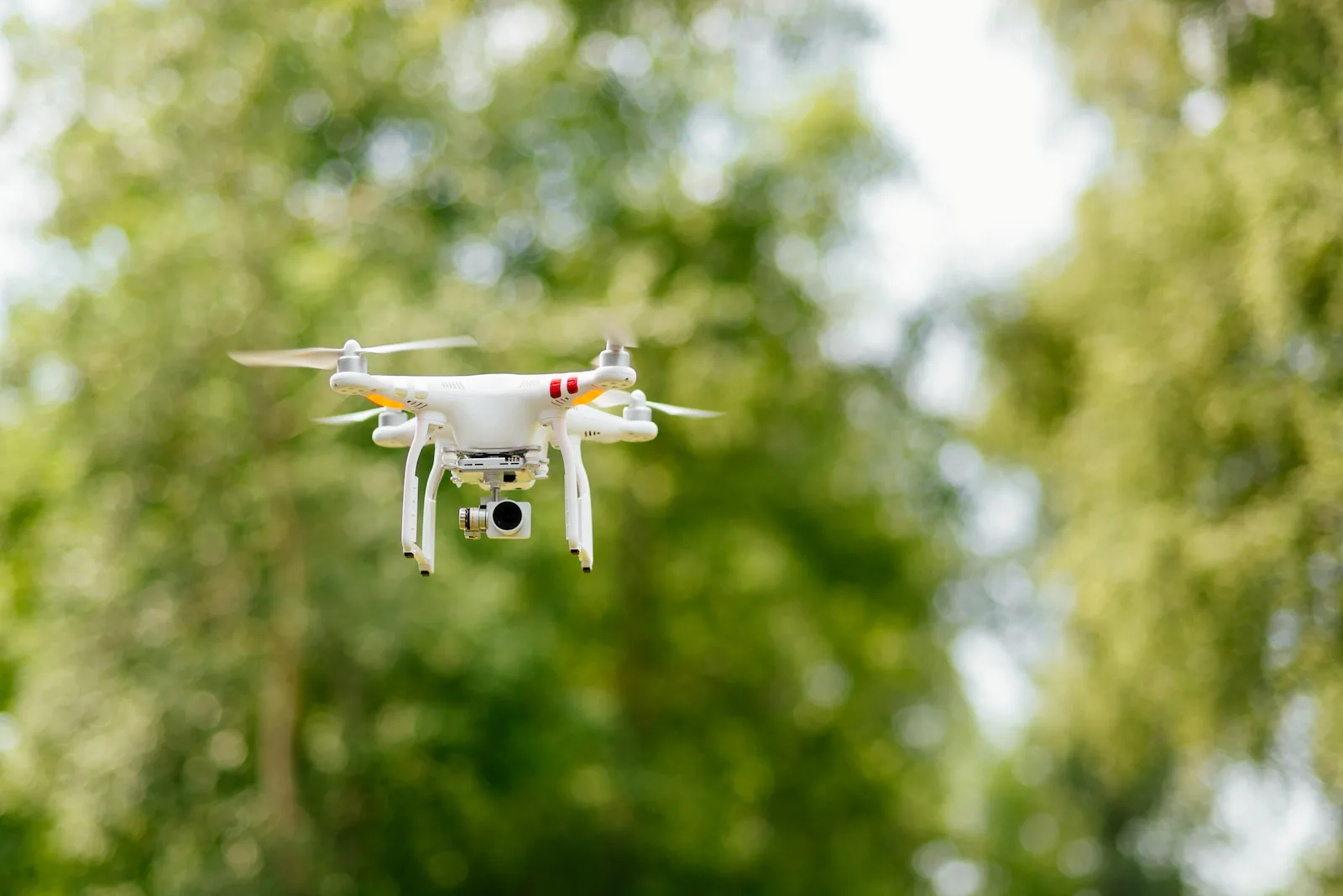
Learn proven tips on how to take great photos with a drone. From flight planning to editing, a guide for every photographer.
Drones are revolutionizing situational surveying - faster, more precise and safer. Learn about modern methods and their applications.
Filming 3D with a drone opens up a new dimension of video creation - capturing depth and realism unavailable in traditional shots. Learn how 3D technology works, what equipment you'll need, and how to harness the potential of a drone for 3D filming.
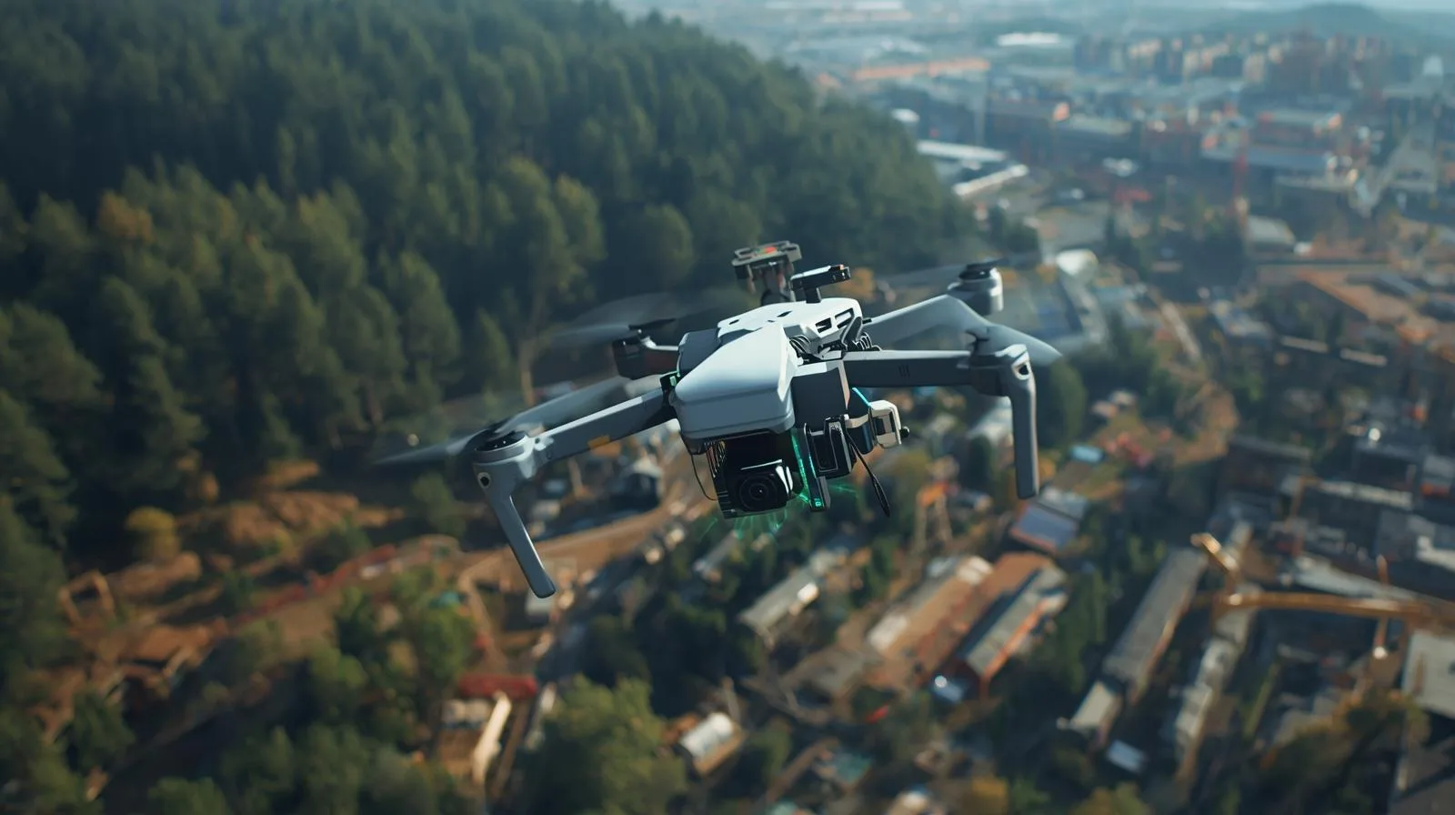
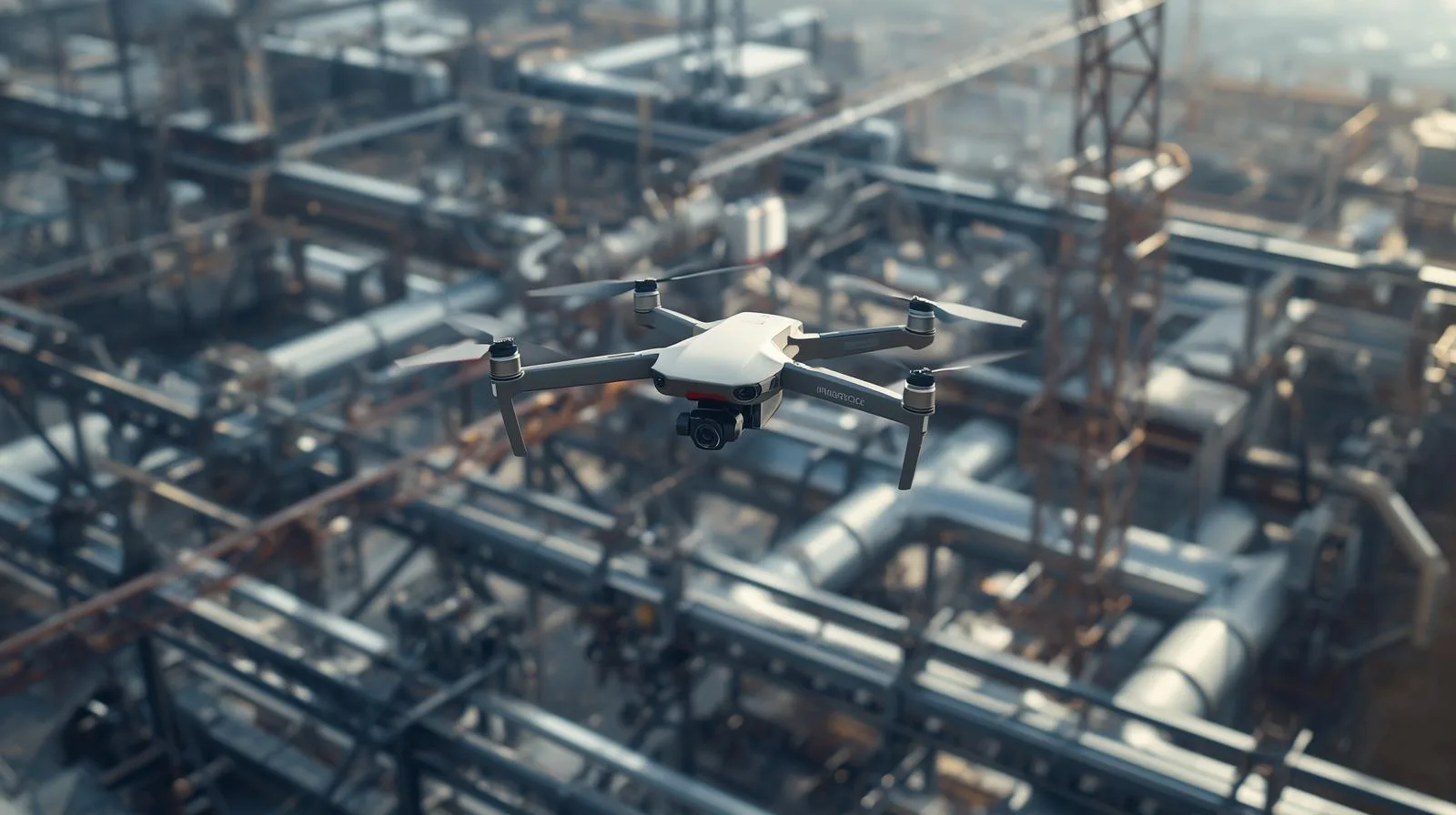
In today's fast-paced world, technology is constantly redefining the limits of human capabilities, and one of the most fascinating tools in this revolution is drones. These unmanned aerial vehicles have revolutionized the way we take measurements, offering unprecedented precision and efficiency.
From agriculture to construction to surveying and environmental protection, drones are not only speeding up processes, but increasing the accuracy of the data they collect.
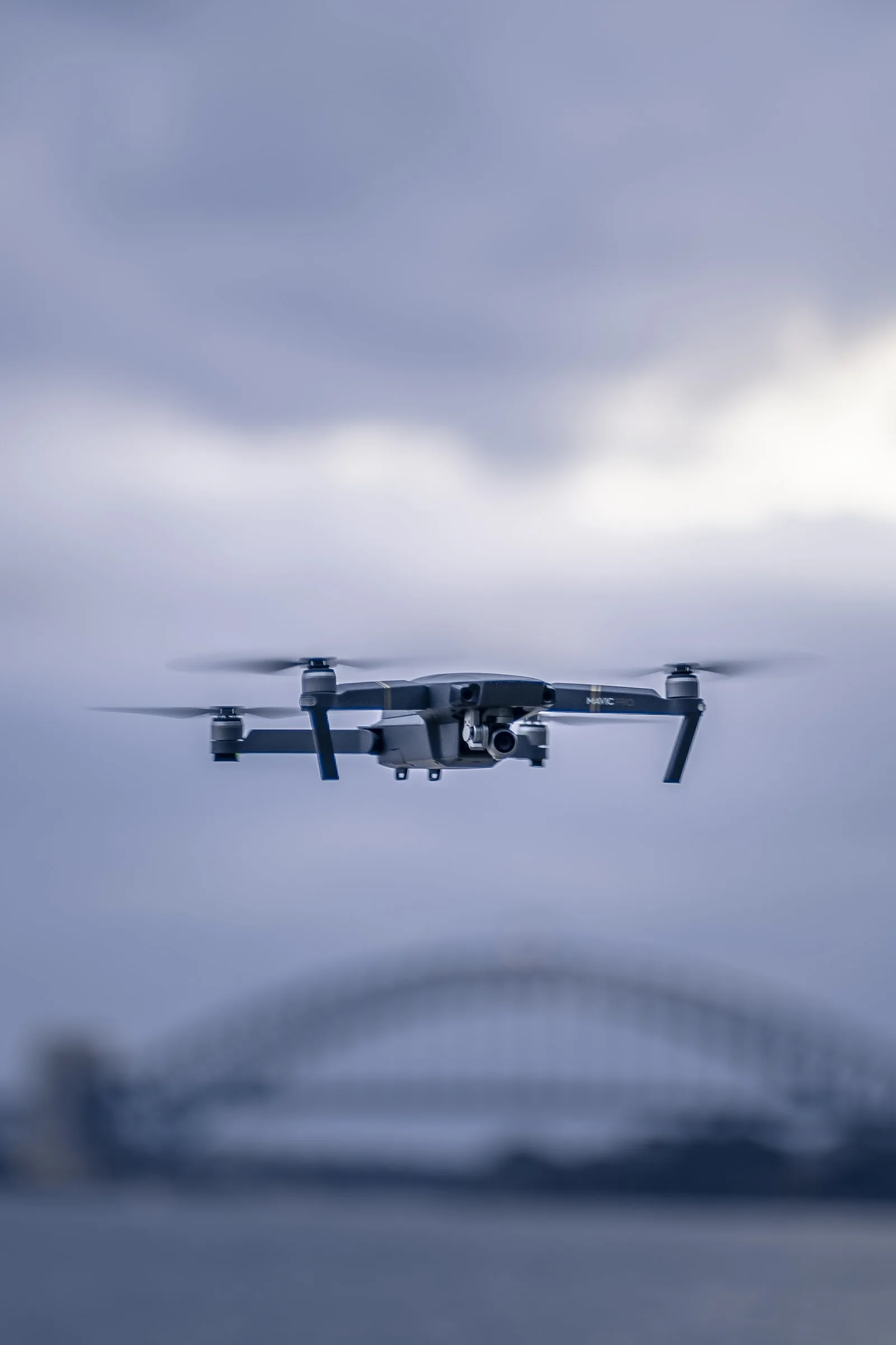
Drone flying is gaining popularity for both recreational and professional applications. However, a key aspect that every drone operator should keep in mind is weather conditions, which can significantly affect flight safety and efficiency. Variable weather, including high winds, rainfall or fog, can pose serious challenges to drone stability and navigation. In this article, we'll take a look at how various weather phenomena can affect the performance of these modern devices, as well as what precautions can be taken to minimize the risks associated with harsh weather conditions. We invite you to discover the secrets of safe flying in all weather conditions.
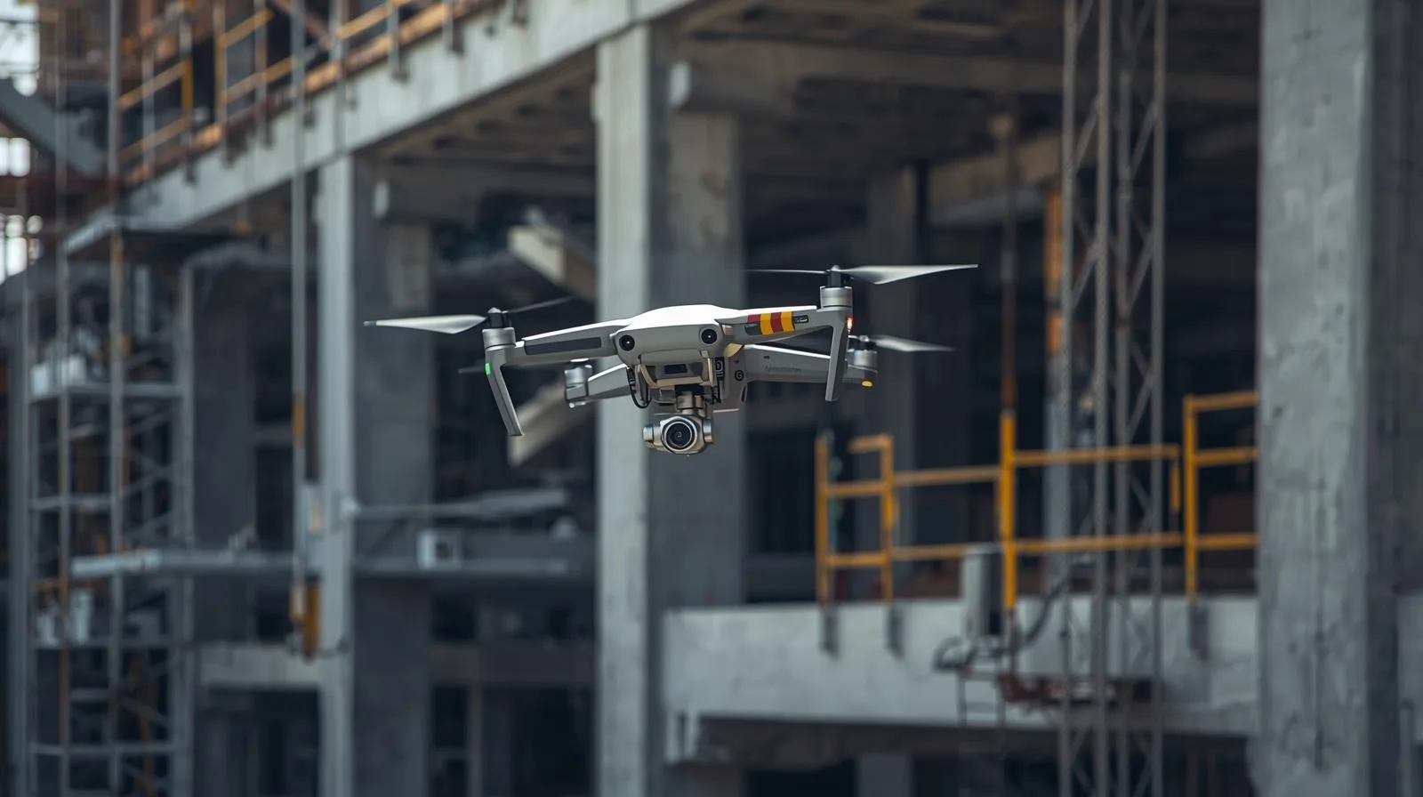
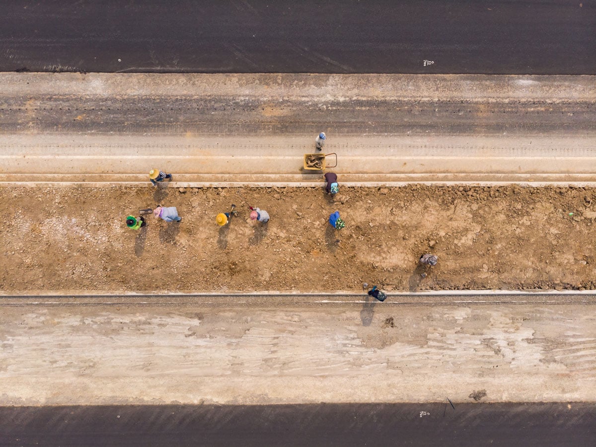
In today's fast-paced world of technology, the construction revolution is taking on a whole new dimension thanks to advanced drones. These high-tech devices are becoming an invaluable tool that is changing the rules of the game in the construction industry by introducing innovative survey and monitoring techniques. With the help of drones, it is possible to carry out precise inspections that allow faster detection of potential problems and increase the safety of workers on construction sites. In our article, we take a look at how these flying machines are affecting the efficiency of construction projects, their cost and the way we see the future of construction. We invite you to discover how drones are transforming traditional approaches to construction and project management.
Learn how drones with LiDAR technology are revolutionizing surveying, construction and other industries by offering fast and precise measurements.
Learn the 5 key principles of a successful drone inspection - from equipment selection to mission planning to data analysis. Learn how to conduct safe, legal and accurate inspections using UAVs in 2025.

SkySnap
How can SkySnap help you with the topic of drone investment monitoring?
Accurate and Fast Inventory
Detailed data acquired from drones according to specifications for each identified object.
Reports
We perform analysis and measurements of infrastructure based on acquired data.
Dedicated Analysis and Measurement System
Online portal for easy data viewing, measurements, and collaboration among users.


")
")

")
")