Webinars in series
Nothing Found
Related Articles
Find out how drone inspection allows you to assess the condition of roofs and facades quickly, safely and at low cost.
Drones have permanently entered the business world - supporting construction, agriculture, energy or property management. But one thing is certain: without proper mission planning, even the best drone will not provide useful data. Inappropriate flight altitude, too little coverage of images or failure to take into account weather conditions can render the material useless. That's why we have prepared for you a practical e-book that explains step by step how to plan flights for photogrammetry and how to avoid common mistakes.
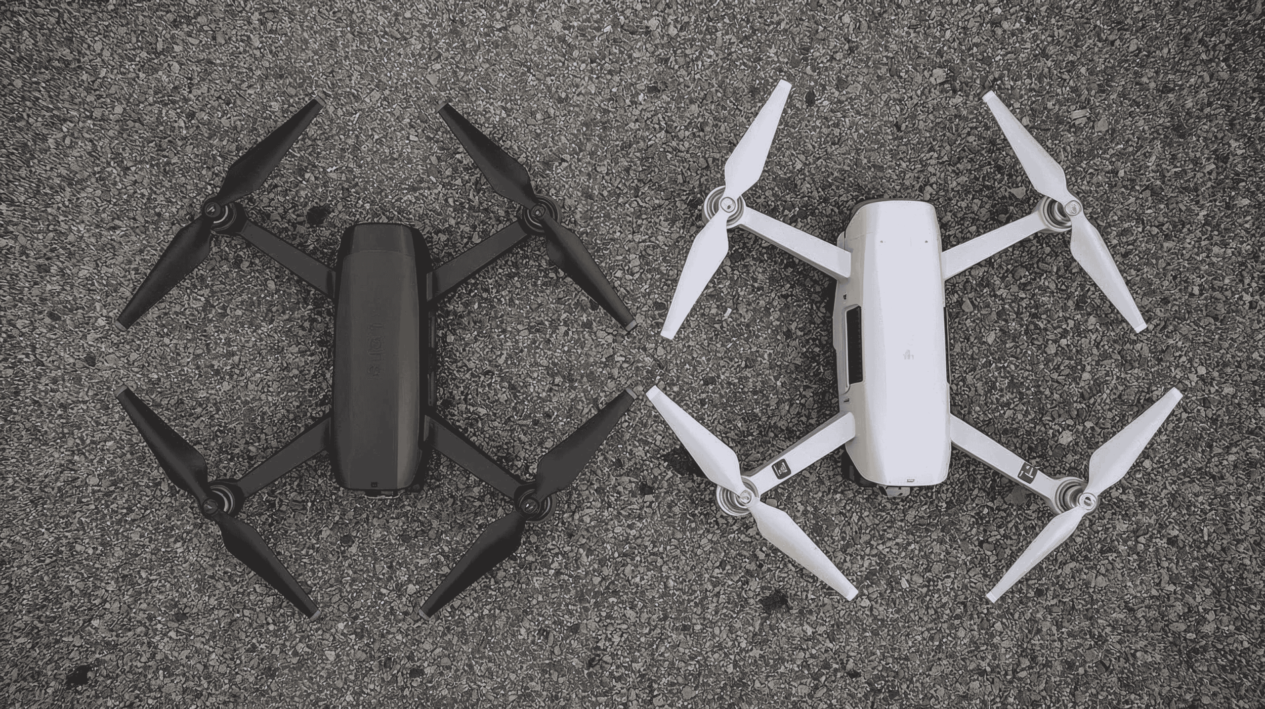
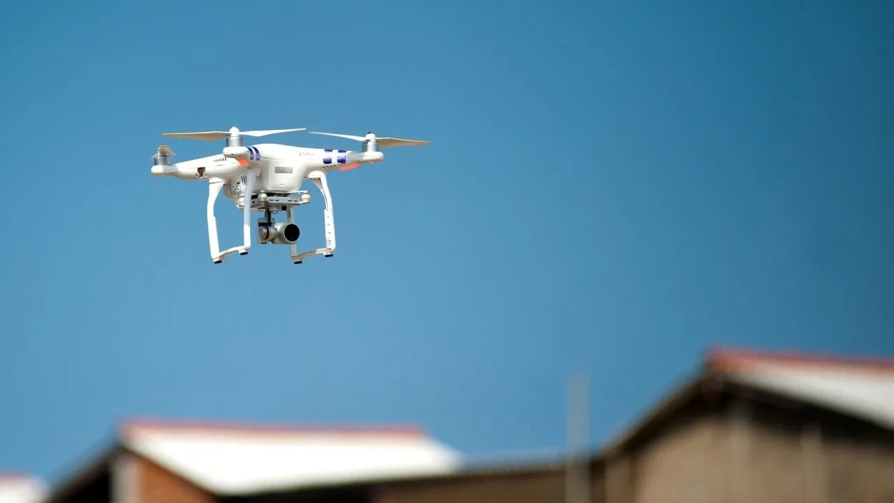
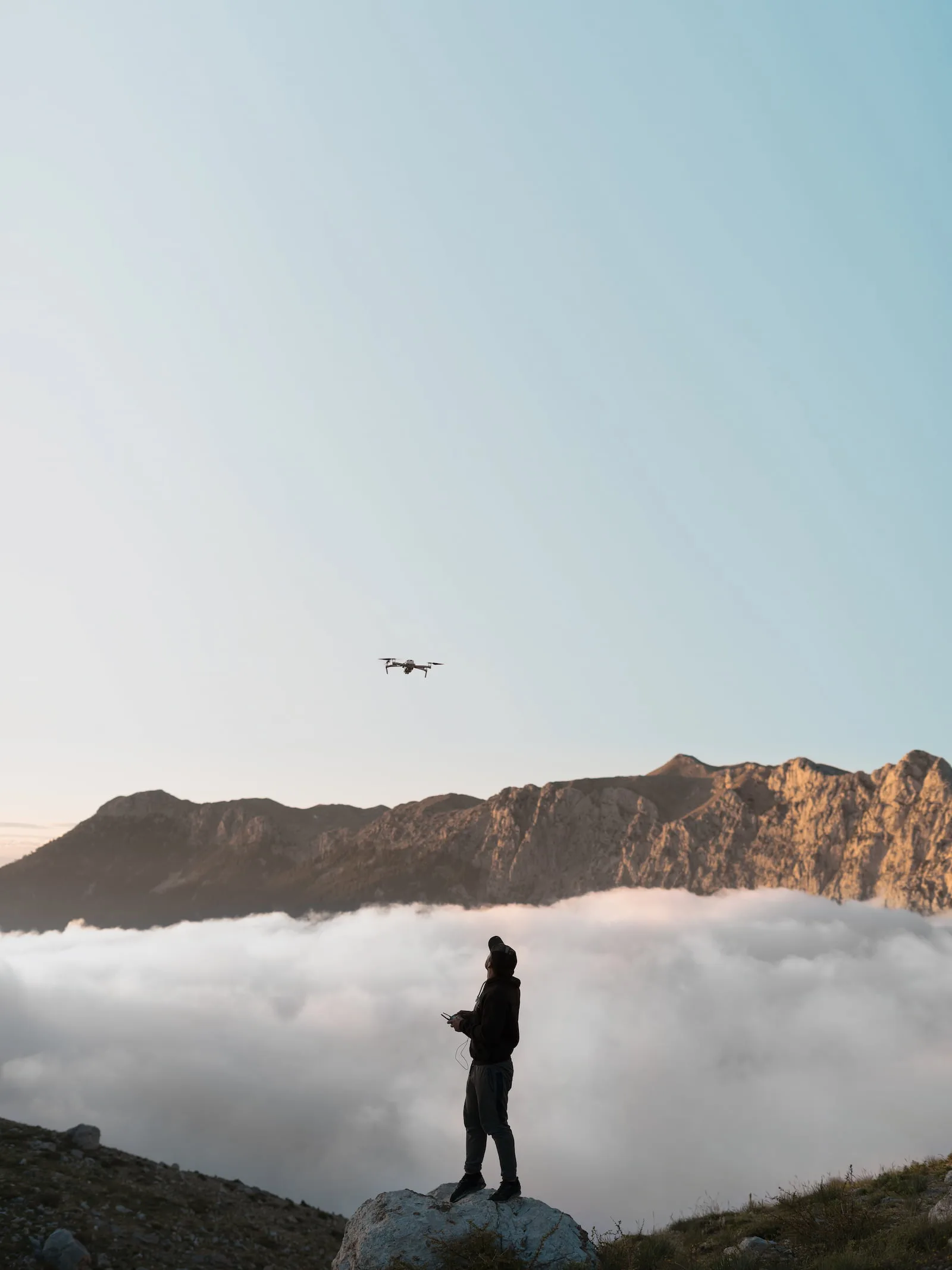
Choosing the right drone is a crucial step for any operator planning to carry out photogrammetric tasks. Even the best software or data processing (such as SkySnap) will not ensure quality if the source data - the images - are not taken with the right equipment.
In this article, we provide recommendations from SkySnap experts, backed by practical experience from projects in construction, agriculture and field inventory.
The increasing number of UAV operators means that competition in the photogrammetric industry is growing every month. Whether you offer orthophotos, roof inspections or heap volume calculations, how you communicate your offerings and reach the right customers is crucial. SkySnap's E-book "Service Examples and Marketing and Sales Tools" helps drone and surveying companies not only sell more effectively, but also understand the language of the customer and select the right promotional channels.
How to price photogrammetry services from a drone? Learn about factors affecting pricing, examples of billing models and download SkySnap's free e-book on pricing drone services. Keywords: drone services pricing, photogrammetry pricing, drone pricing, photogrammetry pricing, drone services calculator, SkySnap.
If you're just getting started with photogrammetry, you've probably come across abbreviations and terms that sound technical: RTK, PPK, GSD, LIDAR, DSM, DTM... In this article, we explain what they really mean - and which ones are worth knowing if you want to professionally monetize your drone data. Because a good knowledge of the basics will allow you to understand your customers' needs, choose the right equipment and create higher value-added services.

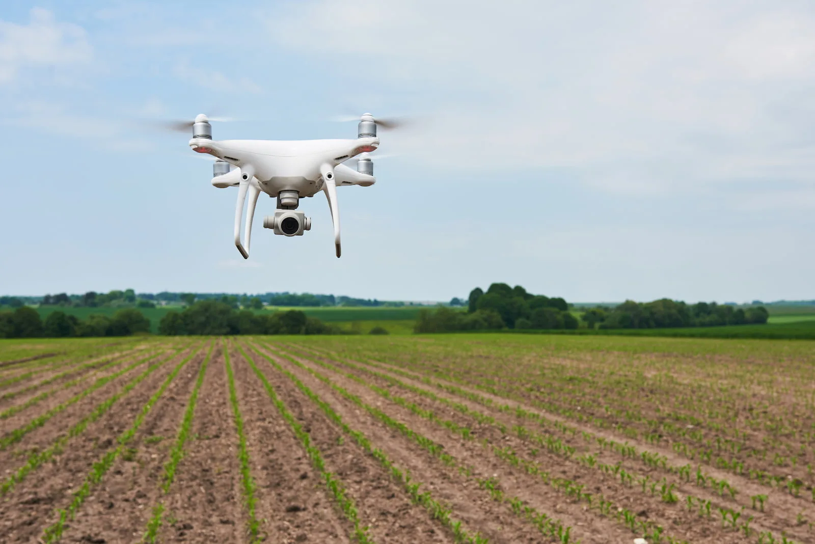
Learn how to make money from drones through photogrammetry. Check out the business potential in construction, surveying and agriculture. See what services you can offer today.

Learn how to properly plan a drone mission for a linear construction site and a 3D model of a roof. We compare principles, techniques and the most common mistakes.
Drone × Mission × Processing - the three pillars of accurate terrain mapping Orthophotomap is one of the most accurate terrain mapping available to construction, surveying and agricultural companies. It is created from photos taken from a drone, which are then processed in specialized photogrammetric software. But what exactly determines its quality?


SkySnap
How can SkySnap help you with the topic of drone investment monitoring?
Accurate and Fast Inventory
Detailed data acquired from drones according to specifications for each identified object.
Reports
We perform analysis and measurements of infrastructure based on acquired data.
Dedicated Analysis and Measurement System
Online portal for easy data viewing, measurements, and collaboration among users.


")
")

")
")