Webinars in series
Nothing Found
Related Articles
Surveying drones are revolutionizing the way field data is collected and analyzed. With precise aerial measurements, surveyors can create maps faster and more accurately, monitor changes in the field, and optimize construction processes. In this guide, we present key information for beginners and advanced users - from choosing the right equipment to best practices in aerial surveying.
Modern drones equipped with advanced sensors and cameras are becoming a key tool in surveying, construction and agricultural measurements. Find out how these innovative devices are improving data collection and why you should use them in your daily work.
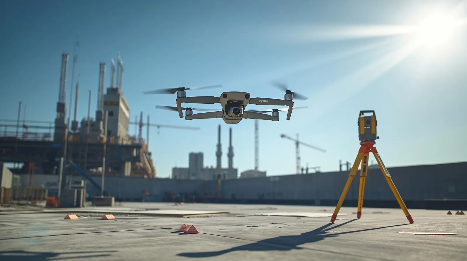
Drones in surveying are not the future - they are the present! Thanks to modern technologies such as lidar, photogrammetry and multispectral cameras, surveyors can take field measurements faster, more accurately and more safely. In this article, we discuss the key applications of drones in surveying, their advantages over traditional methods, and the challenges facing this rapidly developing technology.
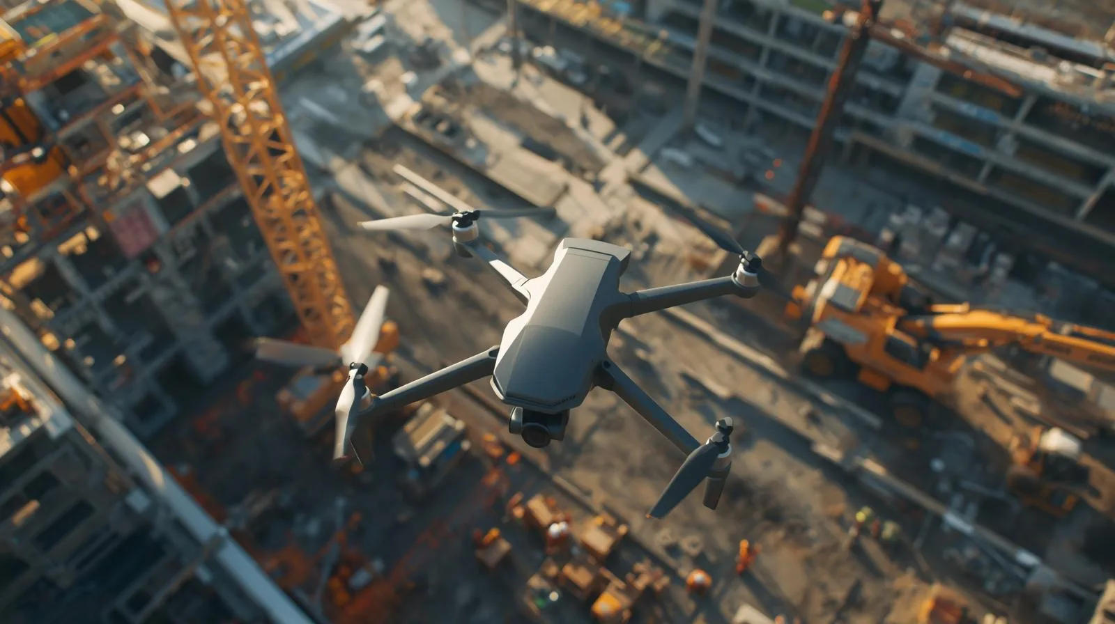
Drones are revolutionizing the construction industry with cutting-edge solutions that increase efficiency, improve safety and reduce costs. In this article, we discuss the key applications of drones in the construction industry - from monitoring the progress of work to precise infrastructure inspections. Learn how UAV technology can streamline construction processes and bring real benefits to your business.
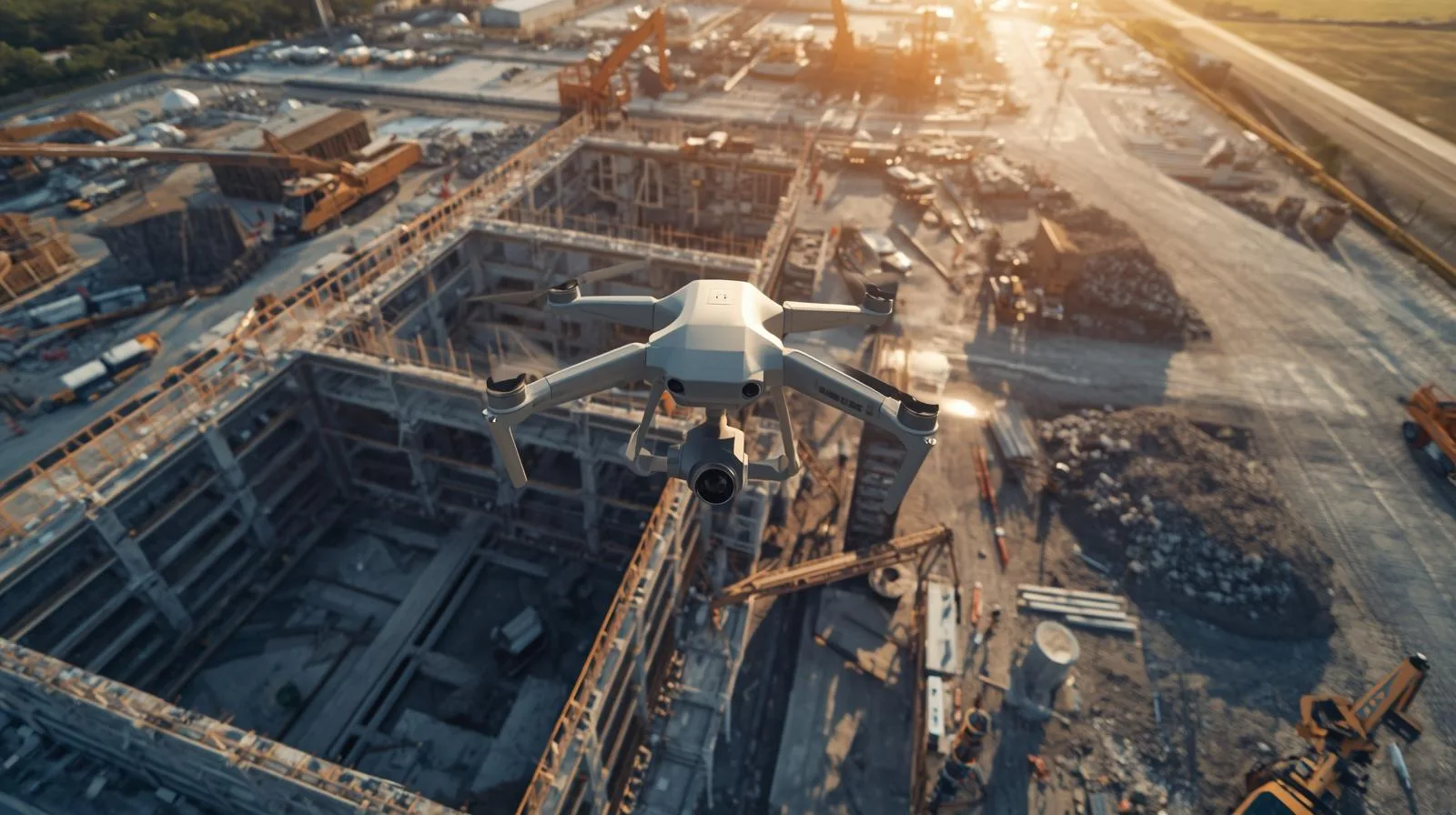
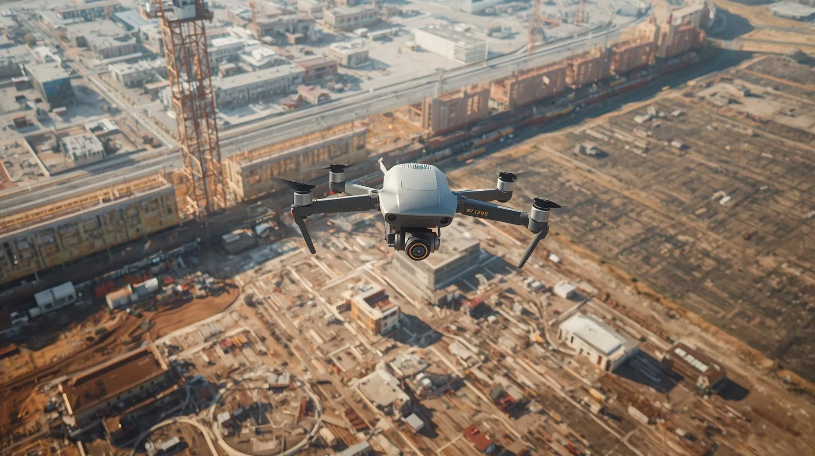
Today's construction industry is increasingly turning to modern technology, and drones are playing a key role in the inventory of construction sites. With precise measurements, rapid data collection and automated analysis, they allow for better project management and cost reduction. In this article, we'll take a look at how drones are streamlining the monitoring of work progress, improving safety and changing the way inventory is conducted in the construction industry.
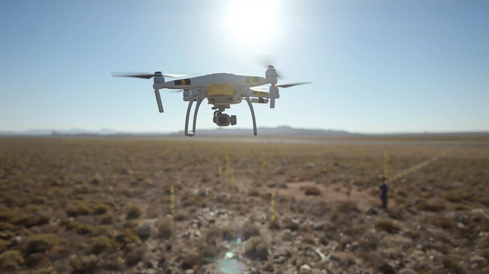
Drones are revolutionizing land mapping, offering fast and precise data collection. In this guide, you'll learn the basics, key applications and benefits of this technology.
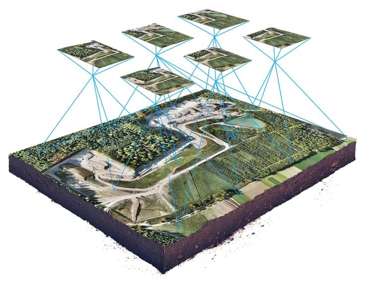
Surveying maps from a drone makes measurements faster and more precise, revolutionizing surveying. Thanks to modern technology, they allow for faster, more accurate and more efficient creation of terrain models.
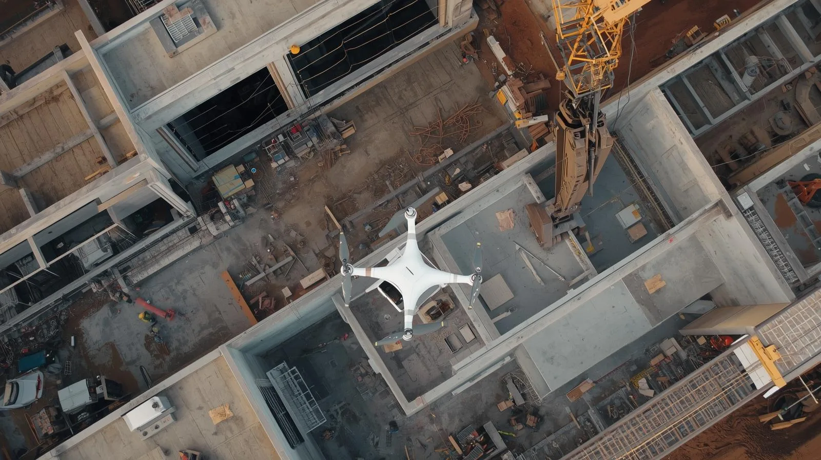
Monitoring construction with a drone allows you to track the progress of work quickly, accurately and efficiently. With precise aerial imagery and data analysis, you can better manage your project and avoid costly delays.

Drones are revolutionizing warehouse management, enabling fast and precise inventory monitoring. By automating inventory, reducing operational costs and minimizing human error, they are becoming a key tool in logistics. In this article, we will discuss how drones work in warehouses, the benefits they bring, and the challenges of implementing them.
Drone photogrammetry is a breakthrough technology that allows for quick and precise creation of maps and 3D models. In this article, you'll learn the basics of photogrammetry, key applications, and how to start your adventure with modern measurements. Check out the benefits of this method and how it can improve work in your industry

SkySnap
How can SkySnap help you with the topic of drone investment monitoring?
Accurate and Fast Inventory
Detailed data acquired from drones according to specifications for each identified object.
Reports
We perform analysis and measurements of infrastructure based on acquired data.
Dedicated Analysis and Measurement System
Online portal for easy data viewing, measurements, and collaboration among users.


")
")

")
")