Webinars in series
Property managers, communities and insurers are looking for operators who provide a complete report - not just flight footage. Most operators don't know how to structure and price it. In this webinar, we will walk you through the entire process from A to Z.

Free SkySnap webinar: learn how to get funding and grow your drone business - April 14, 2026

Do you feel that pricing drone services is a "shot in the dark"? In an episode of the series "Earning with a Drone: Photogrammetry" we'll show how to approach pricing realistically and marginally: from costs, to risks and scope, to a bid that defends itself against clients and competitors. Together we'll walk through the key factors of valuation and the typical pitfalls (underestimation, gratuitous "giveaways," overly broad scope).
Free SkySnap webinar: find out what drone to buy for professional tasks in 2026! - February 3, 2026
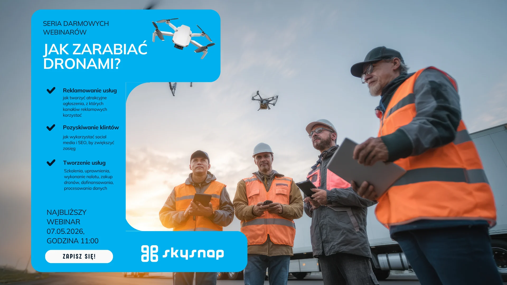
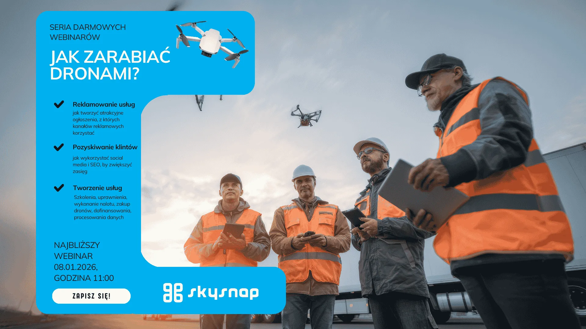
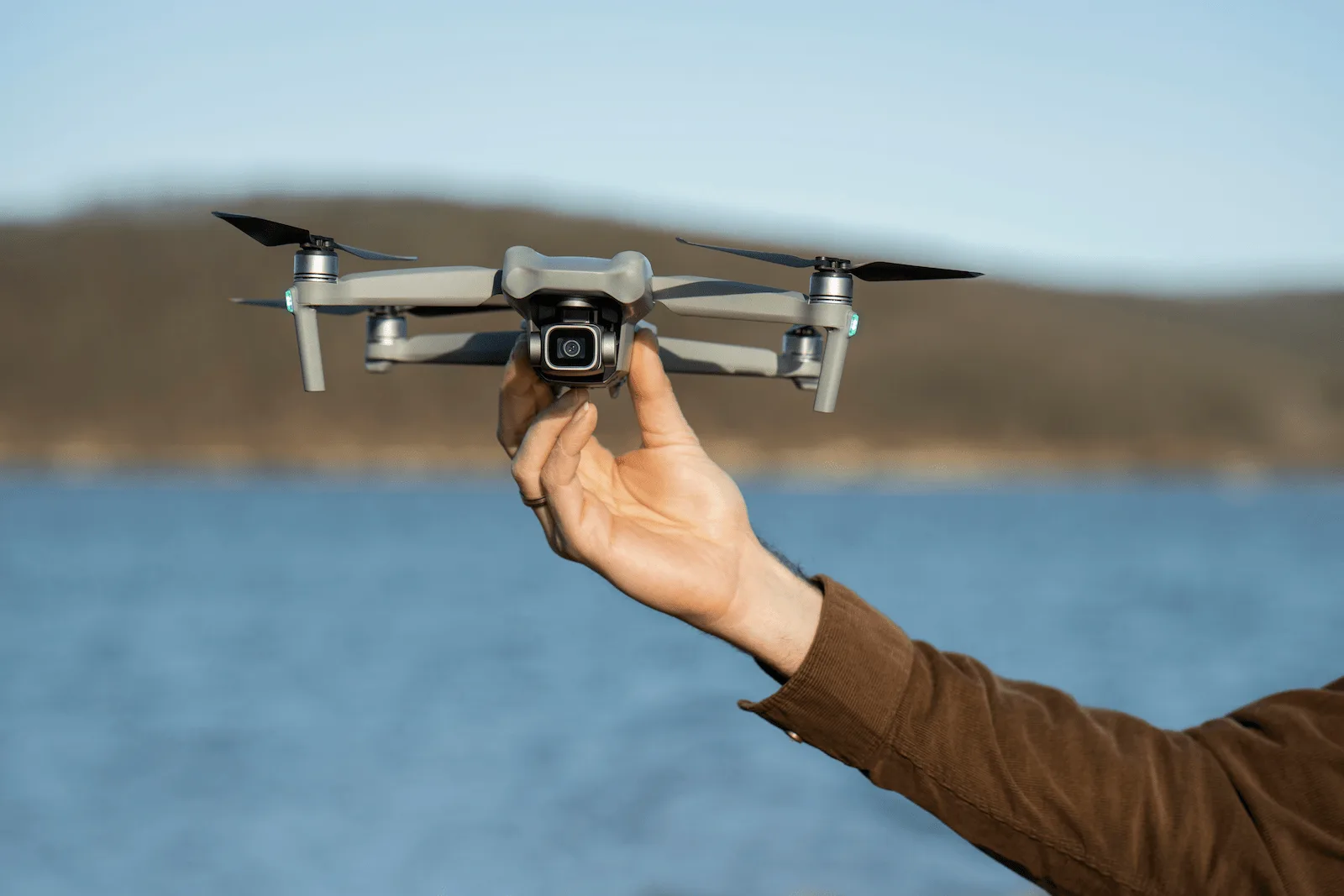
Free SkySnap webinar: learn how to perform a photogrammetric raid with a small drone - January 8, 2026

Free SkySnap webinar: learn how to plan and execute photogrammetric raids, create orthophotos, 3D models and reports. December 2, 2025 - sign up today.
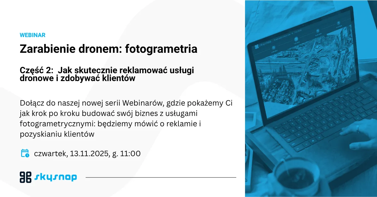
EARNING DRONES: Photogrammetry Episode 2 📸 How to effectively advertise drone services and gain customers 📅 Thursday, November 13 | 🕚 Time: 11:00 | 💻 Format: online
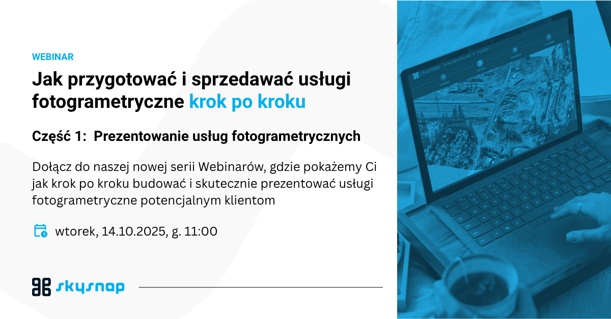
How to prepare and sell photogrammetric services step by step.
Related Articles
Managing a modern building is a constant battle against the passage of time and the destructive influence of nature. Whether you're looking after an office building, an industrial hall or a housing development, the greatest dangers lurk where the eye can't see - in the highest parts of the structure and in hard-to-reach places. The roof, gutters, flashings and facade details are the front line in the clash with rain, frost and UV radiation.

On the occasion of Surveyor's Day, Megadron and SkySnap have prepared a special promotional campaign for those who want to work faster, more convenient and more professionally. It's an offer aimed at surveyors, drone operators and companies carrying out measurements, documentation and field analysis using BSP technology.

In modern construction and surveying, data has become the new currency, whose real value depends on one uncompromising factor - accuracy. While traditional field surveying has for years been regarded as synonymous with reliability, drone photogrammetry is still sometimes seen by some as a glamorous but risky gadget. This is misguided thinking, as a properly designed raid process and professional processing can achieve geodetic precision of 1-5 cm, saving hundreds of hours of work. Therefore, it is worth considering how to move from the stage of taking aesthetically pleasing photos to creating full-fledged engineering documentation that will pass any inspection.
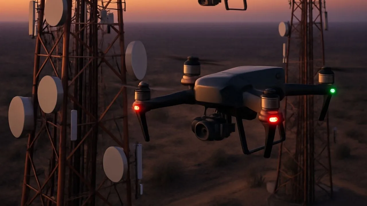
See how drones are improving the inspection of telecommunications infrastructure - faster, safer and cheaper.

Effective advertising of drone services requires showing real benefits, not just technical parameters. In this article, we discuss how to promote orthophotos, 3D models, construction site monitoring, inspections, land mass analysis and precision agriculture. Learn about target industries, ready-made sales messages and application examples from SkySnap's 13.11 webinar.
The drone pilot exam is a crucial step for anyone who wants to legally and professionally operate these devices. The certification process involves both theory and practice, so proper preparation is essential for success. In this article, you'll find practical tips for learning, techniques for effective memorization and how to avoid the most common mistakes. You will also learn what skills are worth mastering before the exam and what to do on the day of the test to increase your chances of a positive result.
The drone pilot exam is a crucial step for anyone who wants to legally and professionally operate these devices. The certification process involves both theory and practice, so proper preparation is essential for success. In this article, you'll find practical tips for learning, techniques for effective memorization and how to avoid the most common mistakes. You will also learn what skills are worth mastering before the exam and what to do on the day of the test to increase your chances of a positive result.
The drone pilot exam is a crucial step for anyone who wants to legally and professionally operate these devices. The certification process involves both theory and practice, so proper preparation is essential for success. In this article, you'll find practical tips for learning, techniques for effective memorization and how to avoid the most common mistakes. You will also learn what skills are worth mastering before the exam and what to do on the day of the test to increase your chances of a positive result.
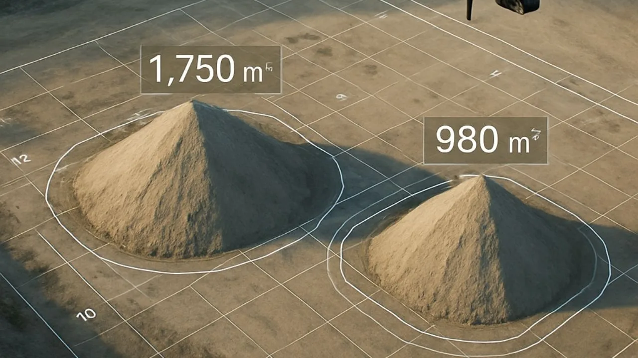
In the construction and investment sector, inspection of earth masses, including heaps, is a key component of project management. Traditional surveying methods are time-consuming, costly and prone to human error. That's why more and more companies are choosing to digitize the process using drone technology and tools such as SkySnap Portal. Up until now, due to the time-consuming and complicated nature of traditional methods, and thus the cost of the service, they have taken place much less frequently than they should. Thanks to new technologies, today it is much easier and more accessible than before.

SkySnap
How can SkySnap help you with the topic of drone investment monitoring?
Accurate and Fast Inventory
Detailed data acquired from drones according to specifications for each identified object.
Reports
We perform analysis and measurements of infrastructure based on acquired data.
Dedicated Analysis and Measurement System
Online portal for easy data viewing, measurements, and collaboration among users.


")
")

")
")