Webinars in series

It used to be that inventories of waterfronts and reservoirs required difficult point measurements. Today, unmanned technology and the use of bathymetry make it possible to create a complete set of depth data. Having data from above and below the water yields a continuous terrain model which allows for earthwork measurements and spatial analysis.

An expert panel on what's really working on construction sites today: from AI trends, SkySnap and R&D approaches, to practical Q&A in three areas: automation and reporting, detection/classification, and as-built vs. as-designed (BIM/IFC) comparison.

Drones today provide a huge amount of data useful for construction supervision, inventories and monitoring. However, the usefulness of this data depends directly on its quality and on understanding the limitations of measurement methods. During the webinar, we explain the difference between precision and accuracy, what elements affect the results of photogrammetric measurements, and how to interpret and validate portal and report data. We will show practical examples comparing surveyor's measurements with results from drone studies, and present best practices and procedures to guarantee acceptable results in engineering work.

Digital twin at every stage of the investment process - for existing and planned infrastructure. During the webinar, we will show how SCAN-to-BIM technology together with AI solutions integrate the investment process: from precise bidding, to automatic generation of BIM models, to image analysis used for monitoring the progress of work and infrastructure maintenance. We will present practical implementations and an end-to-end demonstration using SkySnap tools.

Free webinar: integration of SGPR GPR data with orthophotos and 3D models from a drone. Practical applications in construction and geotechnics.
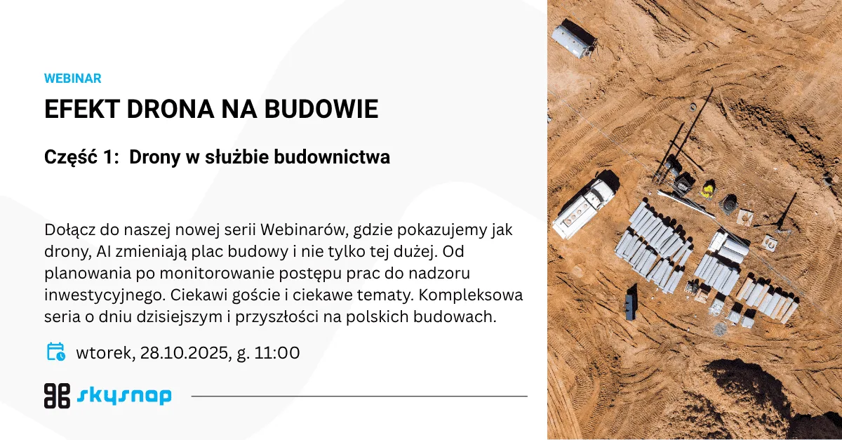
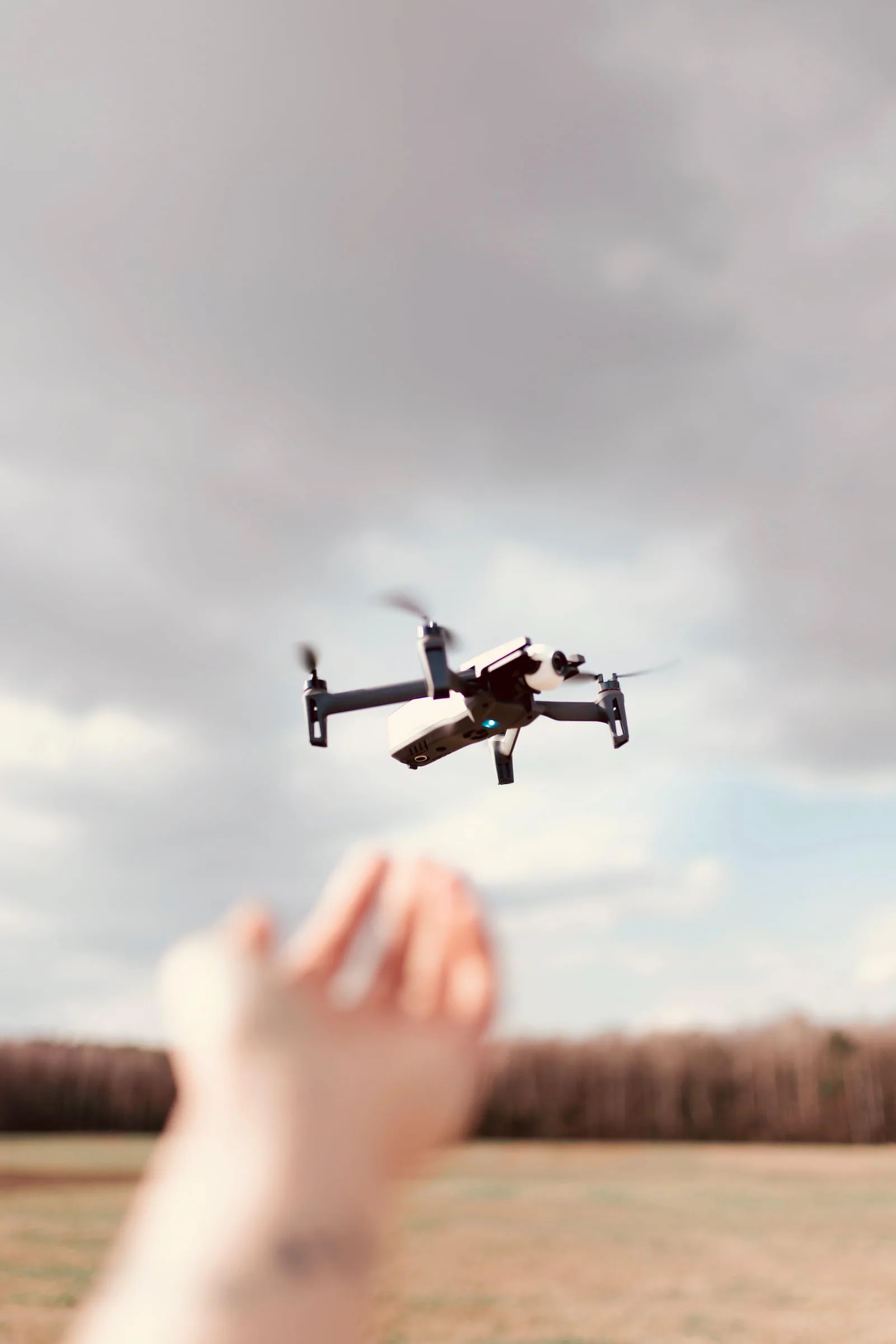
New Series: Drone EFFECT ON CONSTRUCTION 📸 Construction Planning and Monitoring - Drones Not Only on Large Projects 📅 Tuesday, October 28 | 🕚 Time: 11:00 | 💻 Format: online
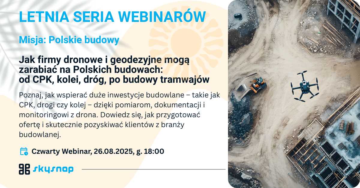
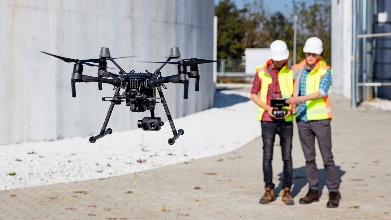
Learn how to support major construction projects - such as CPK, roads and railroads - with measurement, documentation and monitoring from a drone. Learn how to prepare a bid and effectively attract construction clients.

The construction industry is facing further challenges. Investors are announcing an increase in the number of orders, but contractors are concerned about the lack of adequately qualified workers while wages and raw material prices are rising. How, then, to improve the efficiency of construction projects?
Related articles
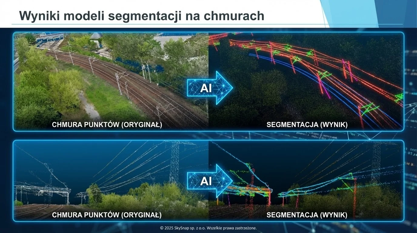
Scan to BIM technology addresses one of the key challenges in construction and infrastructure - the lack of up-to-date, accurate and reliable documentation of existing facilities. In practice, design and construction decisions are often made on the basis of incomplete or outdated data, which generates the risk of errors and costly corrections.
BIM is increasingly moving beyond the design office and directly into the construction site. In this article, we show how, by integrating BIM (IFC) models with drone and AI data in SkySnap, you can compare the design with the actual state of the work, control the progress of the work and build a digital construction site in practice - from the design to the operation stage.
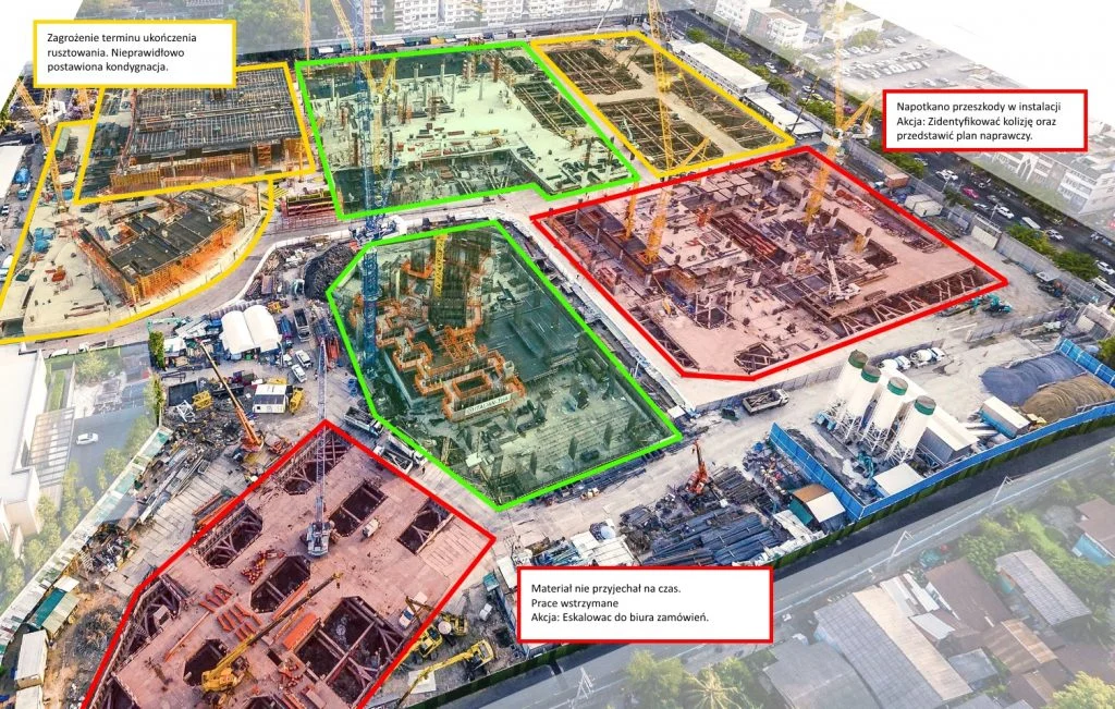
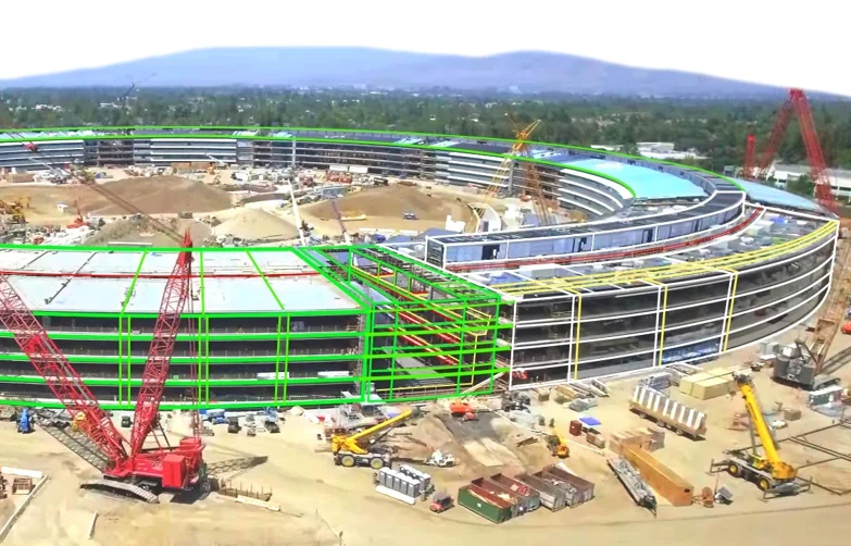
Monitoring construction progress by drone is one of the most effective investment control tools today. In this article, we show you how to plan a photogrammetric raid step-by-step, process the data and use it in the SkySnap Portal for progress analysis, design comparisons and BIM. Find out how to work with up-to-date aerial data and make decisions based on the actual status of construction.
Drones are changing the way we monitor cities, infrastructure and the environment. With their high-speed data collection, autonomy and advanced sensors, they are becoming a key component of modern surveillance. Find out how drones are revolutionizing the future of surveillance and the benefits they offer.
Drones are changing the way surveillance is conducted, from cities to agriculture to infrastructure. Thanks to cutting-edge technology, they offer fast, precise and secure monitoring, opening up new opportunities for many industries.

Discover the best drones for surveillance in 2025. See their applications and choose the perfect model for your needs.
Unmanned aerial vehicles are changing the rules of the game in aviation. Discover how UAV and BVLOS technology is impacting transportation, logistics and the future of the entire industry.
Learn a simple surveying dictionary: as-built map, base map, boundary erection, plot division, drone orthomosaic and many other terms. Practical definitions, application examples and help with formalities.
Drones in logistics enable accurate volume monitoring and better management of warehouse space.
The SkySnap portal supports general contractors and investors with 3D visualization and ongoing monitoring of investments.

SkySnap
How can SkySnap help you with the topic of drone investment monitoring?
Accurate and Fast Inventory
Detailed data acquired from drones according to specifications for each identified object.
Reports
We perform analysis and measurements of infrastructure based on acquired data.
Dedicated Analysis and Measurement System
Online portal for easy data viewing, measurements, and collaboration among users.


")
")

")
")