Webinars in series
Nothing Found
Related articles
Automated reports and heap volume analysis enable accurate monitoring of materials in mining and logistics.
Check out how SkySnap Portal 2.0 allows you to detect changes and analyze progress in one place.
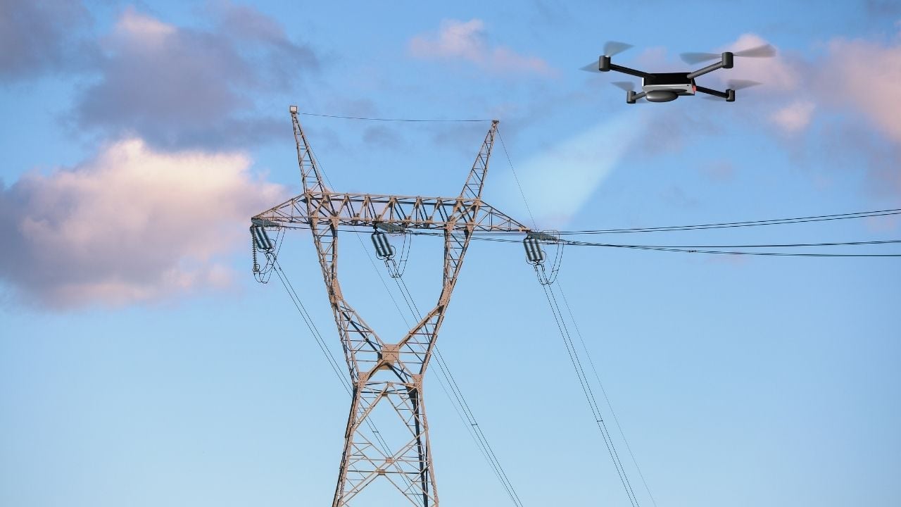
Inspection of power lines using drones allows for faster, safer and more accurate monitoring of infrastructure.
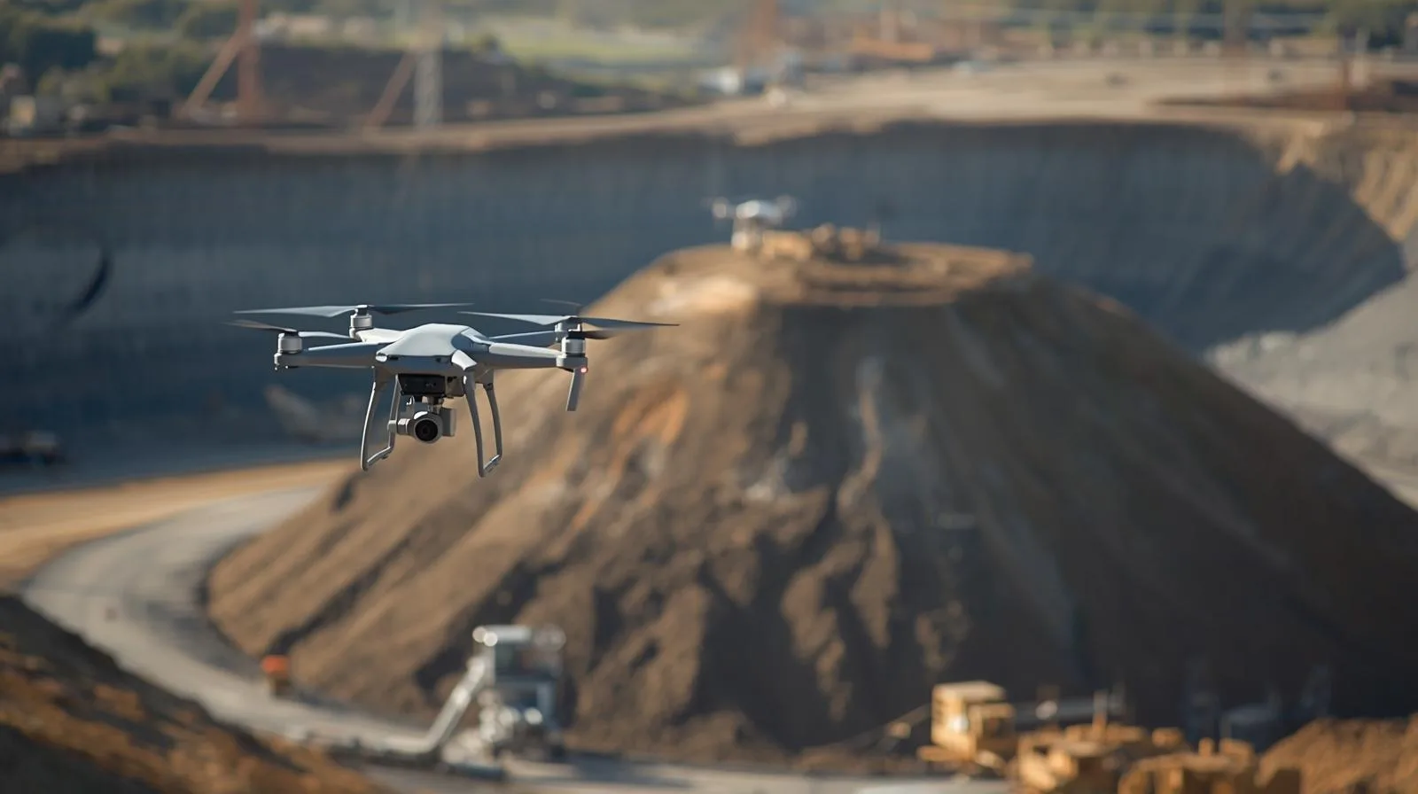
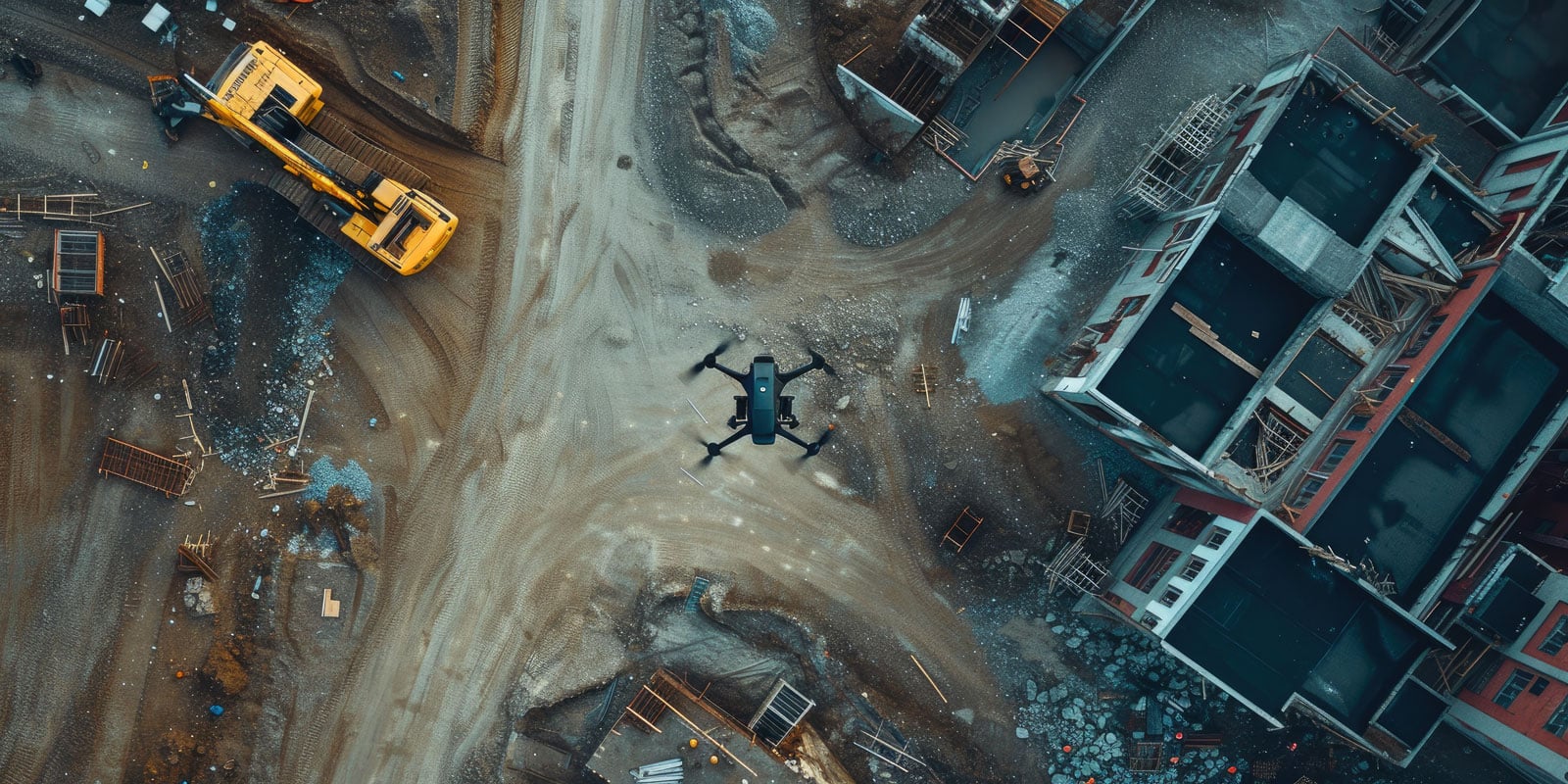
In the construction and investment sector, inspection of earth masses, including heaps, is a key component of project management. Traditional surveying methods are time-consuming, costly and prone to human error. That's why more and more companies are choosing to digitize the process using drone technology and tools such as SkySnap Portal. Up until now, due to the time-consuming and complicated nature of traditional methods, and thus the cost of the service, they have taken place much less frequently than they should. Thanks to new technologies, today it is much easier and more accessible than before.

Drones are changing inspection - faster, safer and more precise. See how they support infrastructure monitoring.
Create maps for design purposes faster and more precisely with drones. Check out our step-by-step guide!

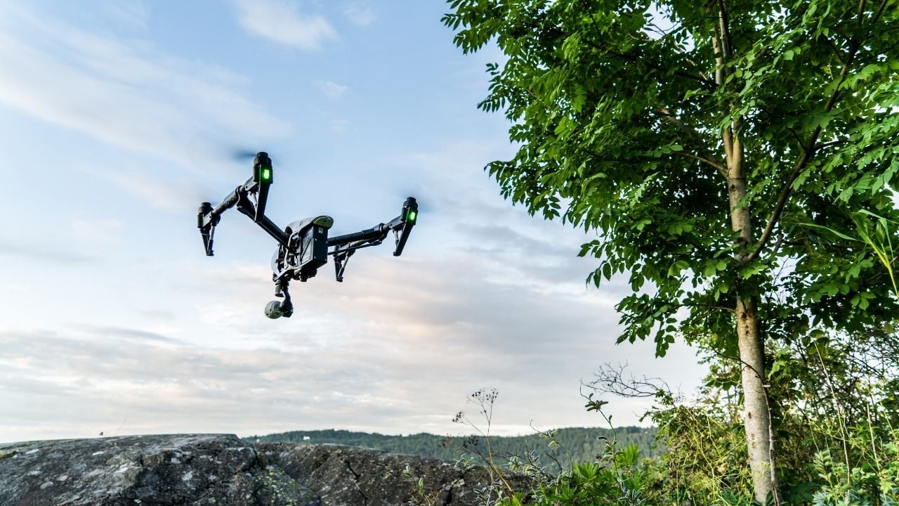
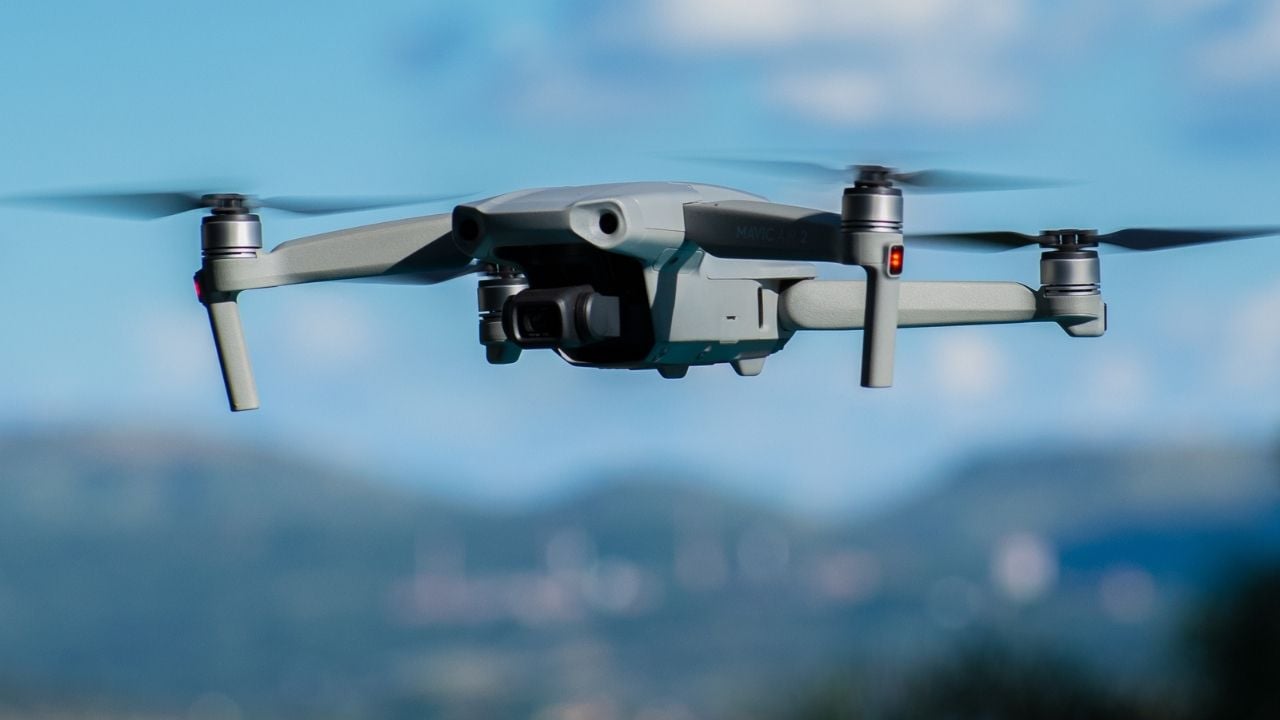
Explore user reviews of the latest 2025 drones. See which model to choose and what to look for before buying.
Wondering which drone to buy? Find out what to look for and choose the perfect model for your needs. A guide for everyone!
Today, technology plays a key role in optimizing business processes, and one of the latest trends is the use of drones in inventory management. As companies strive to increase operational efficiency, drones are becoming an invaluable tool to quickly and accurately monitor inventory. With remote control capabilities and advanced camera systems, drones can reduce inventory time and minimize the risk of human error. In this article, we will look at how this modern technology is changing the approach to traditional inventory management, offering new perspectives on efficiency and savings.

Drones are changing the face of surveying, offering fast, precise and safe field measurements. Learn how modern technology is supporting mapping, infrastructure inspection and data analysis in engineering and construction projects.

SkySnap
How can SkySnap help you with the topic of drone investment monitoring?
Accurate and Fast Inventory
Detailed data acquired from drones according to specifications for each identified object.
Reports
We perform analysis and measurements of infrastructure based on acquired data.
Dedicated Analysis and Measurement System
Online portal for easy data viewing, measurements, and collaboration among users.


")
")

")
")