Webinars in series
Nothing Found
Related articles
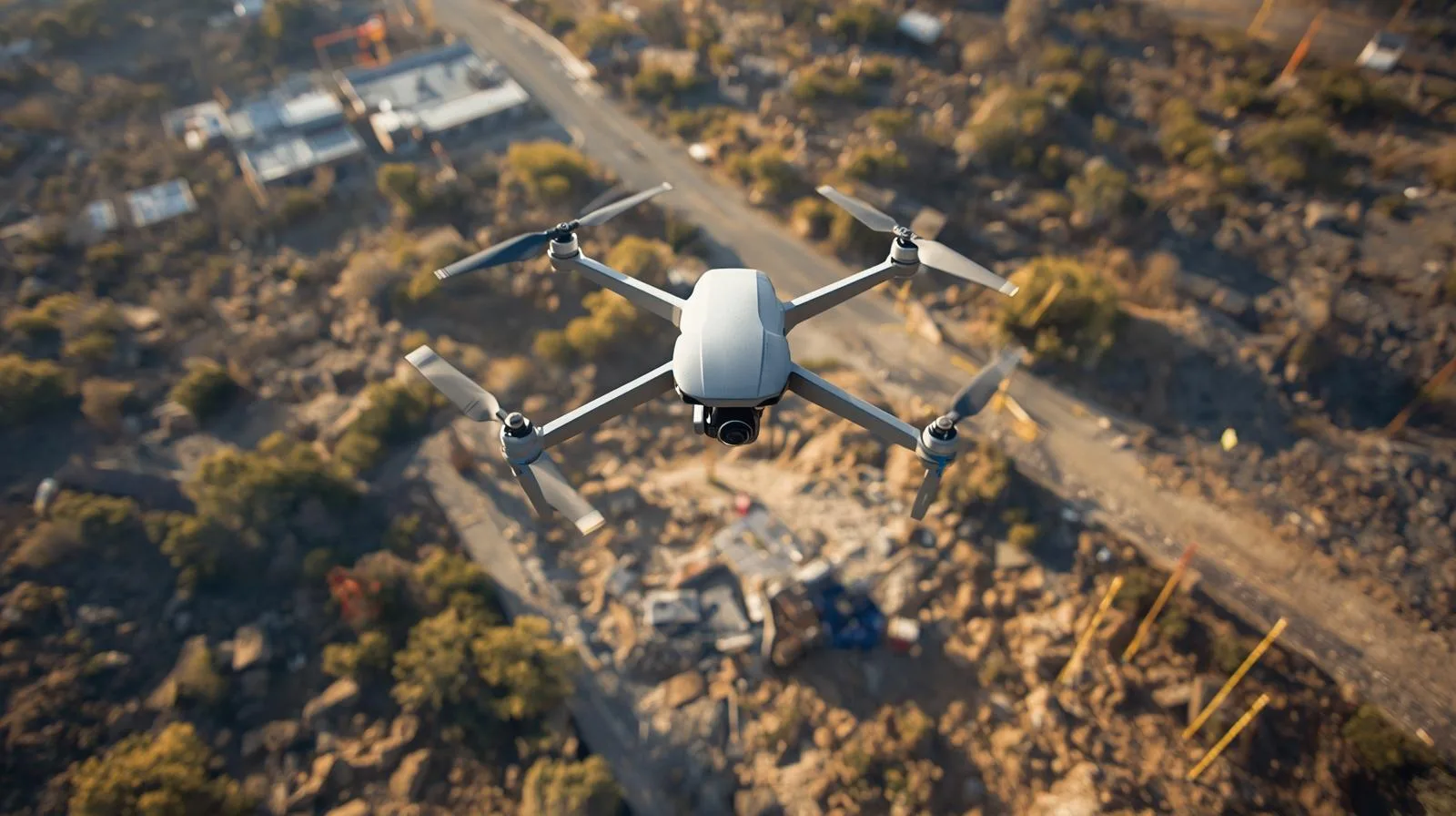
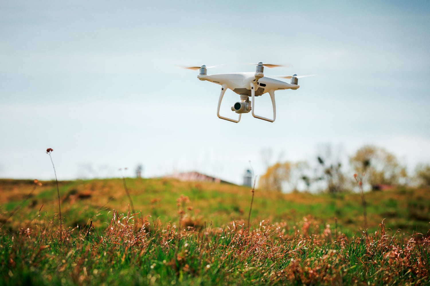
Drones are transforming land surveying, offering speed, precision and access to hard-to-reach places. Learn about the latest technologies, applications in surveying, engineering and environmental protection, and the prospects for their development.
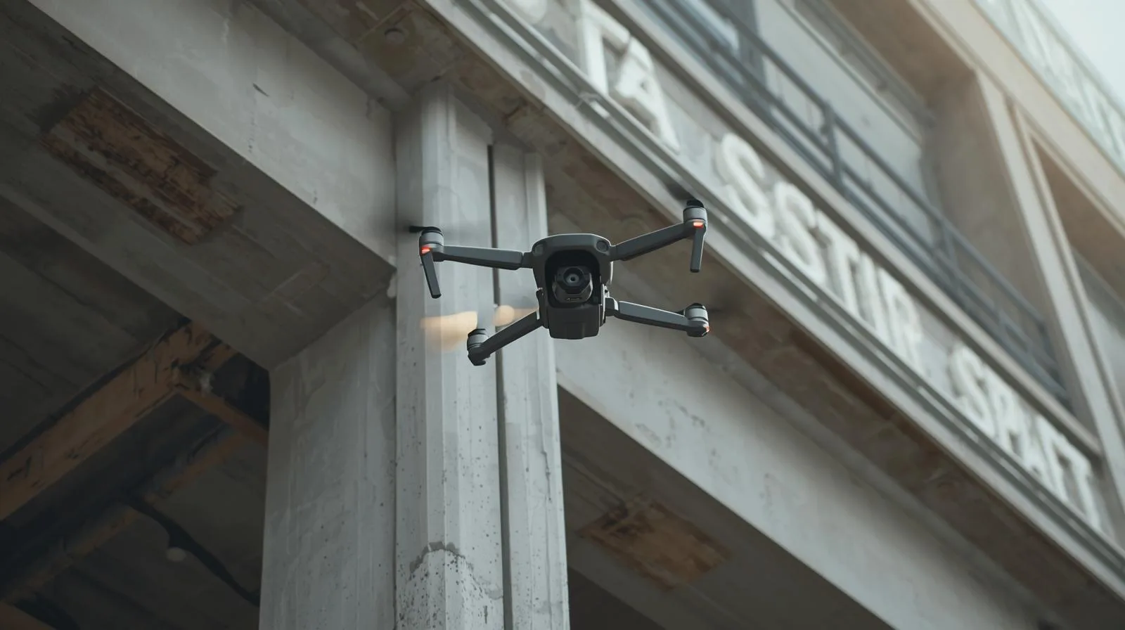
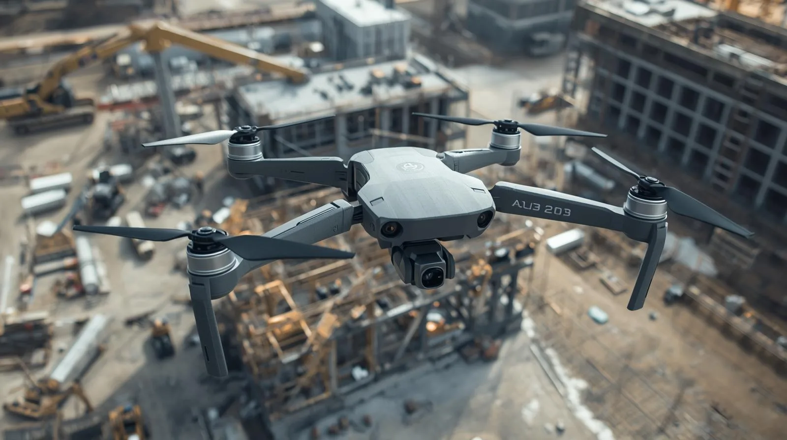
Drone design research is revolutionizing construction inspections. Find out how new materials, propulsion and autonomous systems are making UAVs more efficient and precise.
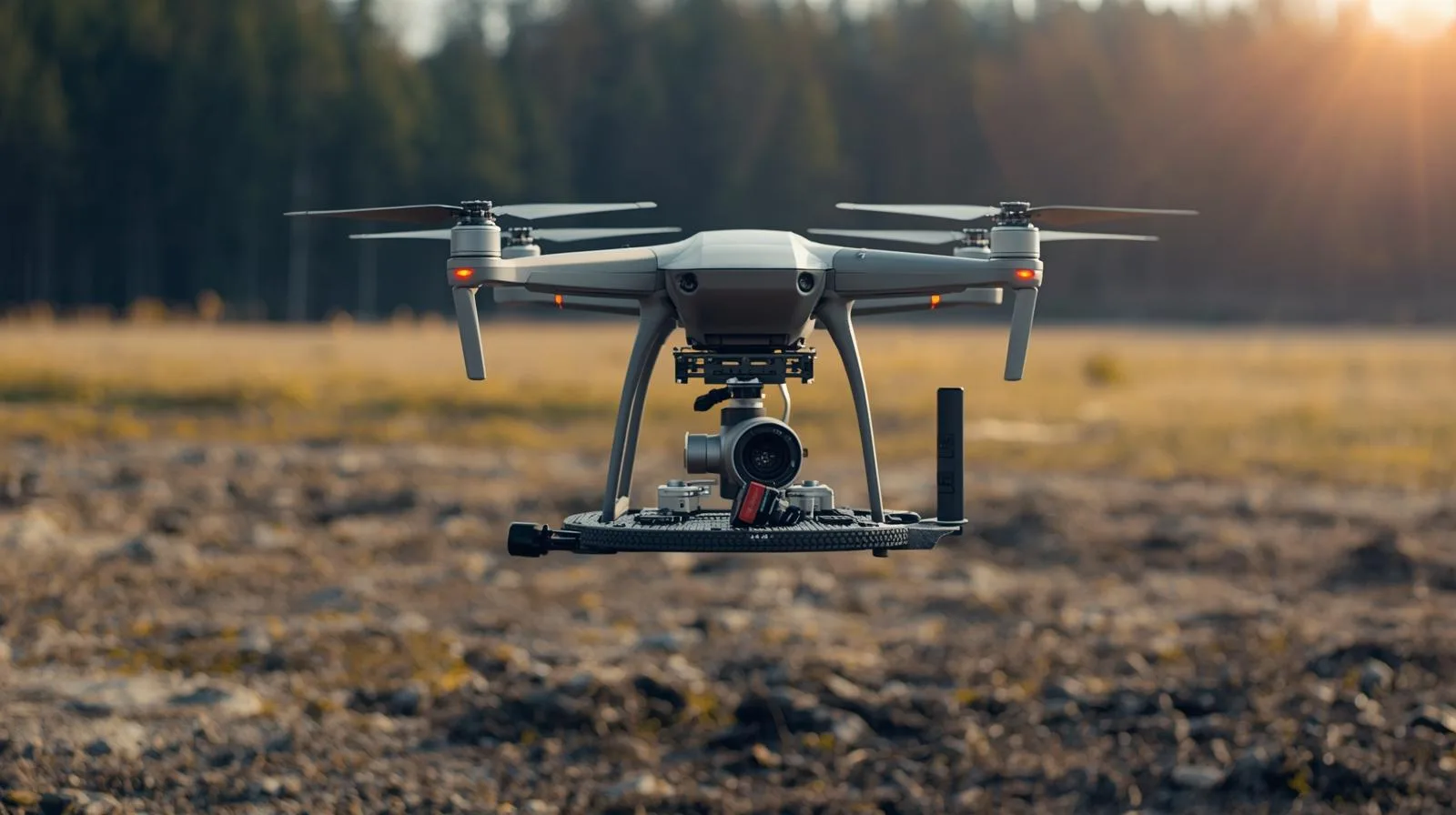
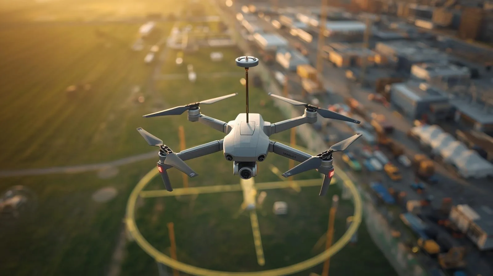
Discover how drone lidar imagery is changing surveying. Learn how LiDAR technology works, its benefits and why it is becoming a key tool for modern land mapping.
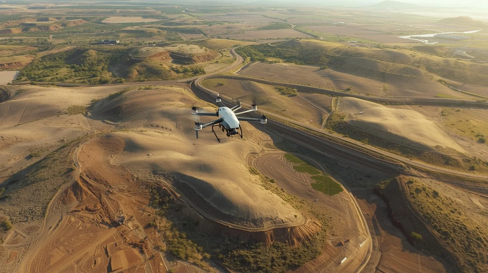
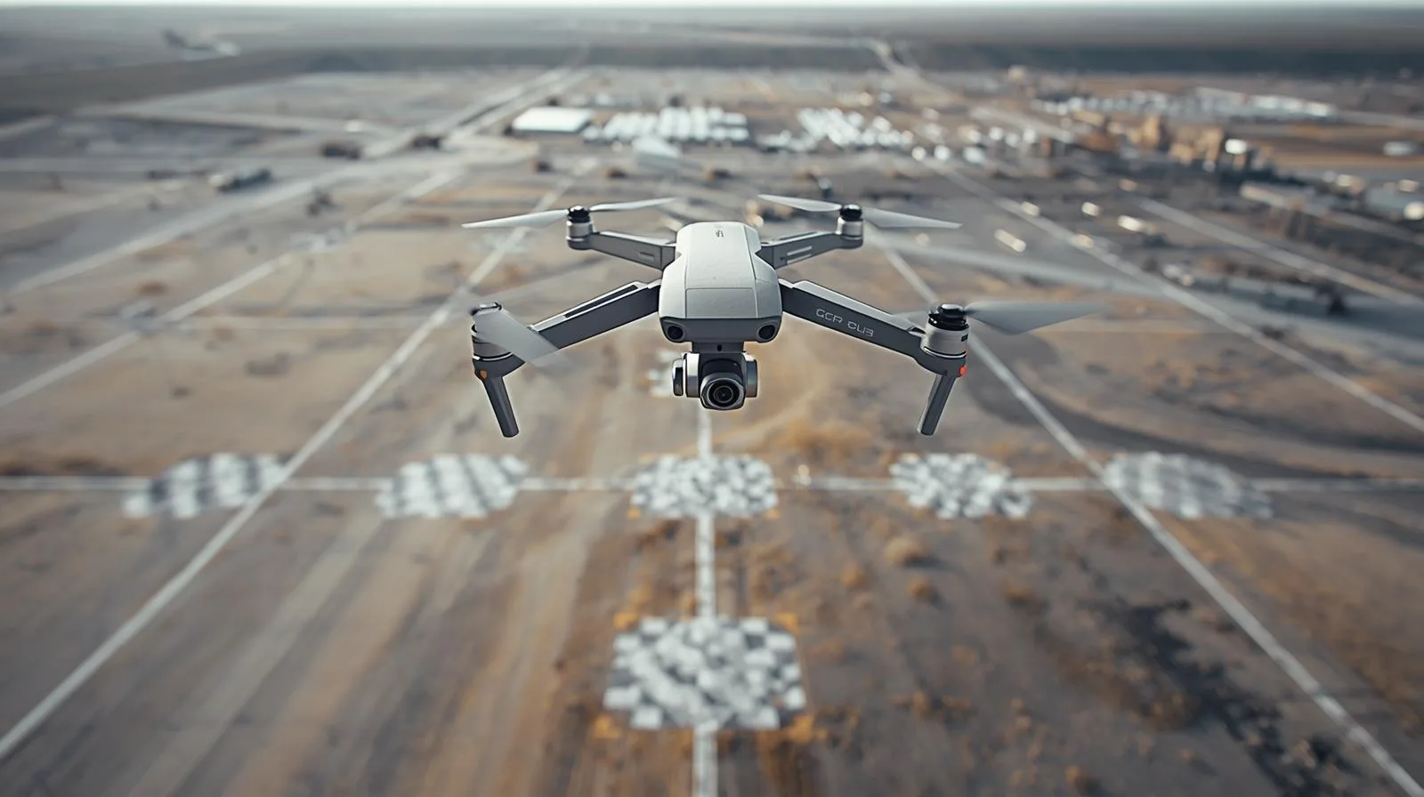
Drones are improving the creation of digital terrain models, offering fast, precise and cost-effective measurements. See how UAVs are supporting surveying, construction and environmental monitoring.
Filming 3D with a drone opens up a new dimension of video creation - capturing depth and realism unavailable in traditional shots. Learn how 3D technology works, what equipment you'll need, and how to harness the potential of a drone for 3D filming.
LiDAR technology is opening a new chapter in archaeological research - including in Poland. Thanks to lidar images, it is possible to discover the remains of ancient settlements and structures hidden under dense vegetation, without the need for invasive excavations. The article explains how LiDAR works, what benefits it brings to archaeologists and why it is becoming an indispensable tool in modern exploration of the past.
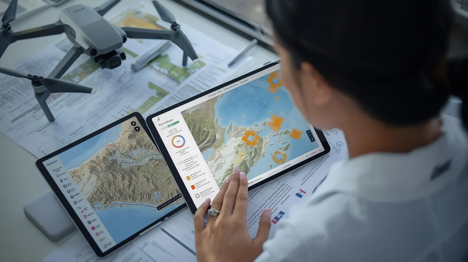
Accuracy in surveying is not a luxury, but a necessity. Accurate measurements are the foundation for safe construction, effective urban planning and sustainable urban development. Learn how modern technologies are affecting the quality of surveying data.
LiDAR technology is opening a new chapter in archaeological research - including in Poland. Thanks to lidar images, it is possible to discover the remains of ancient settlements and structures hidden under dense vegetation, without the need for invasive excavations. The article explains how LiDAR works, what benefits it brings to archaeologists and why it is becoming an indispensable tool in modern exploration of the past.
Accuracy in surveying is not a luxury, but a necessity. Accurate measurements are the foundation for safe construction, effective urban planning and sustainable urban development. Learn how modern technologies are affecting the quality of surveying data.
Filming 3D with a drone opens up a new dimension of video creation - capturing depth and realism unavailable in traditional shots. Learn how 3D technology works, what equipment you'll need, and how to harness the potential of a drone for 3D filming.

SkySnap
How can SkySnap help you with the topic of drone investment monitoring?
Accurate and Fast Inventory
Detailed data acquired from drones according to specifications for each identified object.
Reports
We perform analysis and measurements of infrastructure based on acquired data.
Dedicated Analysis and Measurement System
Online portal for easy data viewing, measurements, and collaboration among users.


")
")

")
")