Skip to content
Najnowsze wpisy:
How are drones changing property condition management? Diagnostics start with the roof.
Surveyor’s Day with professional field support. DJI Matrice 4E and 4D Combo with Portal SkySnap package
Data accuracy in low-altitude photogrammetry: How drones are revolutionizing engineering measurements.
Scan to BIM in practice: How to go from point cloud to BIM model together with SkySnap?
Login / Registration
  • English (US)
    • English (GB)
    • German
    • Romanian
Login / Registration
  • English (US)
    • English (GB)
    • German
    • Romanian
SkySnap Logo
  • Industries
    • Drones in construction
    • Drones in building construction
    • Drones in real estate
    • Drones in Infrastructure
    • Drones in Energy
    • Drones in railways
    • Drones for Local Governments
  • SkySnap Portal
  • About Us
  • Contact
Order drone service
Try SkySnap

See articles: regularne przychody dronem

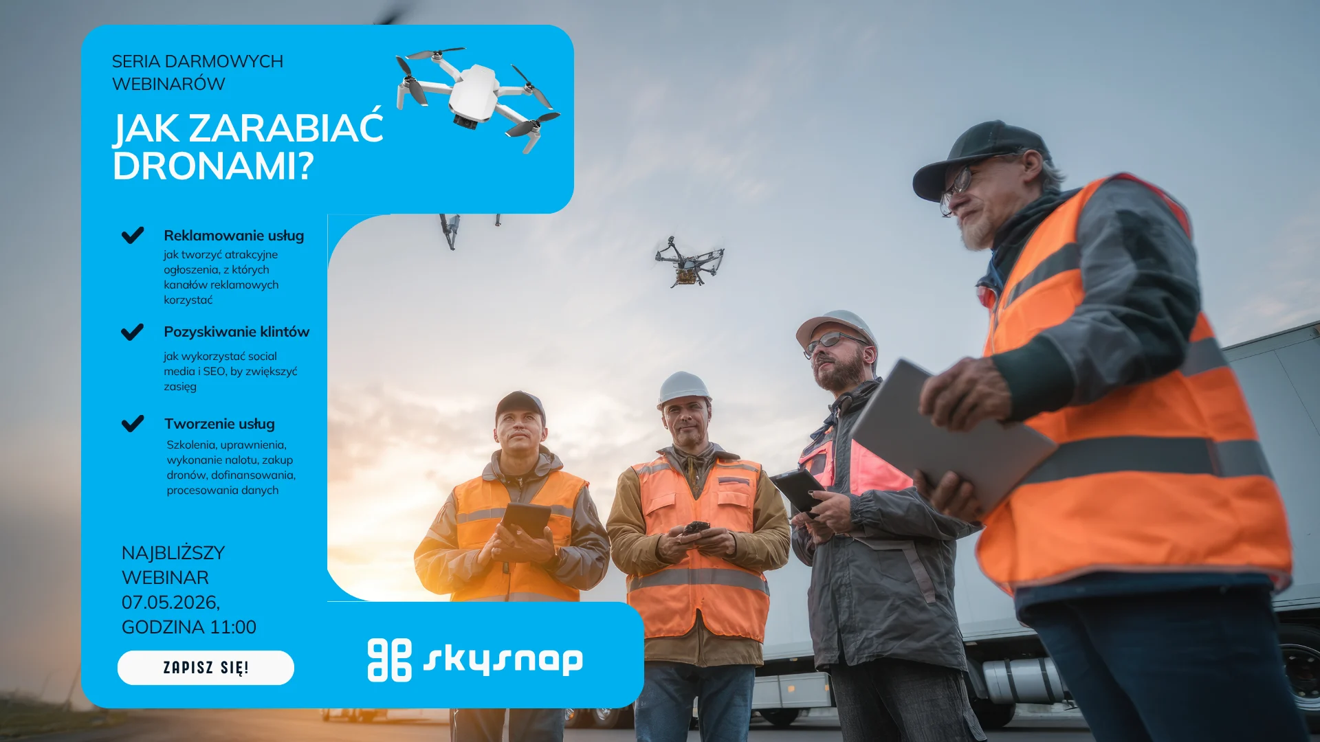
  • Webinar 07.05 SkySnap: Earning with a Drone: Building Inspections

    Czytaj Dalej
  • Webinar 21.04 SkySnap Product Updates: building inspections and automatic data processing

    Czytaj Dalej
  • Webinar: 23.04 Drones in Real Estate: Roof Inspections

    Czytaj Dalej
  • Webinar 28.04 DRON EFFECT ON CONSTRUCTION: Integrating data from above and below the water

    Czytaj Dalej
  • Learn how drones support property managers and housing communities in inspections and documentation. Webinar 24.04 at 11:00 a.m. Check out practical implementations.

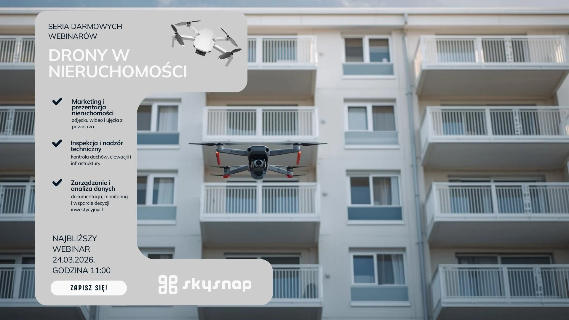
    Drones in real estate: Practical Applications for Housing Managers and Communities

    Czytaj Dalej
  • AI in SkySnap

    Webinar 24.02 SkySnap: The Drone Effect on Construction: AI at SkySnap: from research to implementation- Ask the Experts

    Czytaj Dalej
  • Drone training and funding. How to get funding and grow your drone business SkySnap X 4Tech

    Czytaj Dalej
  • Webinar 03.03 SkySnap: Earning with a Drone – Valuing drone services. Backstage of Drone World EXPO. Previewing inspection features

    Czytaj Dalej
  • Webinar how to rob with drones?

    Webinar 03.02 SkySnap: What drone to buy for professional tasks in 2026? Skysnap + Megadrone

    Czytaj Dalej
  • Webinar 20.01 SkySnap: The Drone Effect on Construction: Accuracy of Drone Data – What Should You Know?

    Czytaj Dalej
  • Webinar how to rob with drones?

    Webinar 08.01 SkySnap: How to perform a photogrammetric raid with a small drone

    Czytaj Dalej
  • Drone effect on construction site

    Webinar 16.12 SkySnap: The Drone Effect on Construction: From Data to Digital Twin: How SCAN-to-BIM and AI are revolutionizing bidding and project lifecycle management

    Czytaj Dalej
  • How to plan and create a photogrammetric raid

    Webinar 02.12 SkySnap: How to prepare and execute a photogrammetric raid

    Czytaj Dalej
  • SkySnap Webinar: The Drone Effect on Construction Sites: Integrating Data from Below the Ground and From the Air

    Czytaj Dalej
  • drone photogrammetry pricing guide

    How to price drone and photogrammetric services in Poland: a guide for operators

    Czytaj Dalej
  • New features in SkySnap portal – November ’25

    Czytaj Dalej
  • Free training, webinar on how to effectively advertise drone services and gain customers

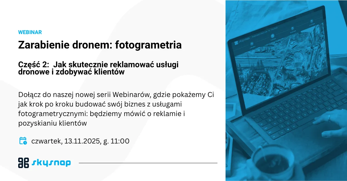
    SkySnap webinar: How to effectively advertise drone services and gain customers

    Czytaj Dalej
  • Drones in the service of construction

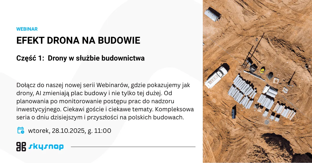
    🚀 SkySnap webinar: drone in the service of construction

    Czytaj Dalej
  • Earning with Drones - Webinar: Photogrammetric Products Preparation and Sales

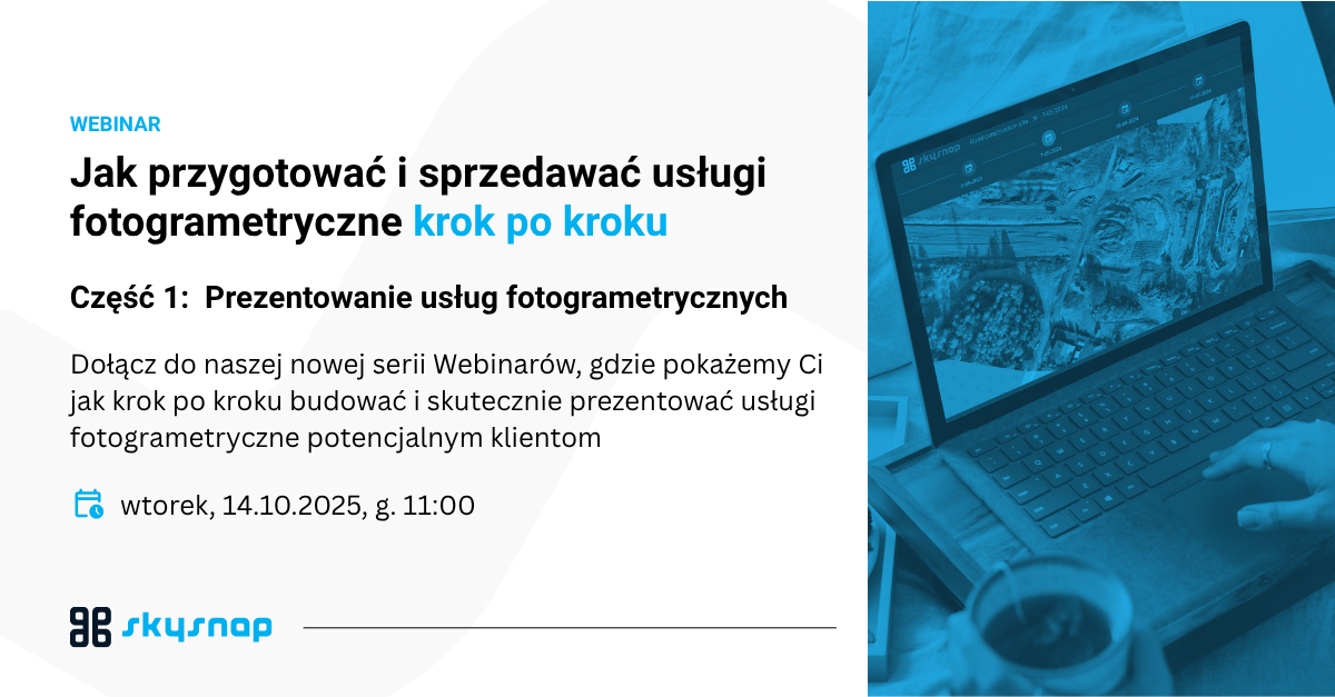
    How to make money with drones? How to prepare and sell photogrammetric services step by step.

    Czytaj Dalej
  • How to plan a drone mission to make the data suitable for photogrammetry?

    How to plan a drone mission to make the data suitable for photogrammetry? [GUIDE]

    Czytaj Dalej
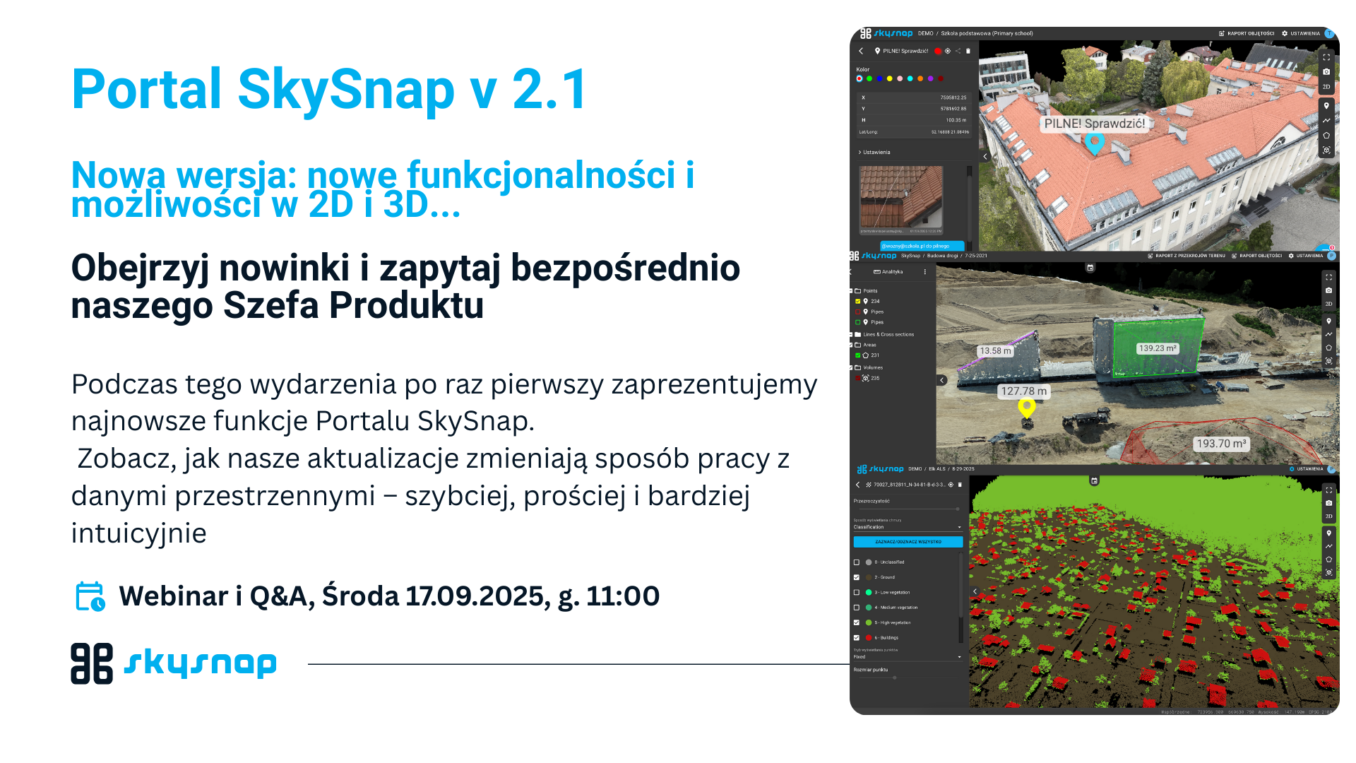
  • Webinar Portal New Features

    Czytaj Dalej
  • Invitation to the fourth webinar "Mission: Polish Construction" - SkySnap

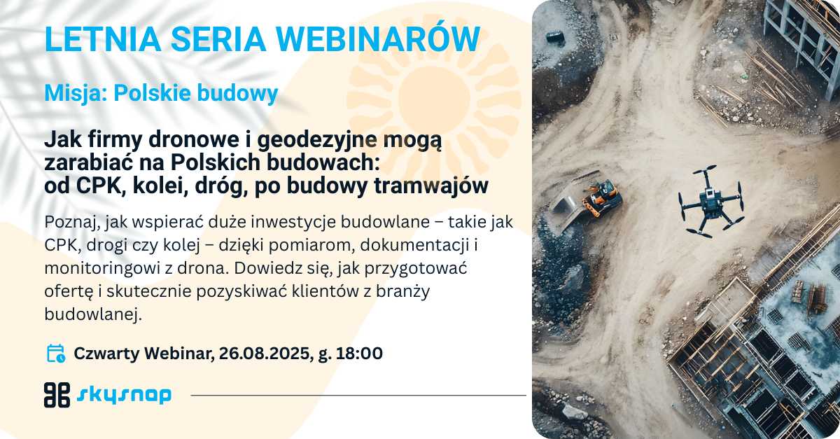
    Mission: Polish construction – how drone and surveying companies can make money from investments in Poland: from CPK, railroads and roads, to streetcar line construction.

    Czytaj Dalej
  • Invitation to webinar "Mission: heaps and volume calculation" - SkySnap

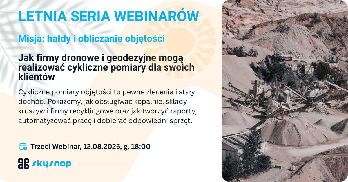
    Mission: heaps and volume calculations – how drone and surveying companies can perform cyclic measurements for their clients

    Czytaj Dalej
  • Webinar Earning with Drones, Photogrammetry Mission, photogrammetric services

    Mission: Photogrammetry. How to earn more from photogrammetric products – application examples

    Czytaj Dalej
  • How to start making money with a drone - webinar

    Mission: profit. How to start making money with a drone? Profit Map: Learn the best paths to monetize your drone and geospatial data

    Czytaj Dalej
  • drone hald measurements construction

    How construction companies can speed up heap surveys with SkySnap

    Czytaj Dalej
  • How to create a subscription service like Netflix in the drone industry? A guide for operators using the SkySnap platform

    Czytaj Dalej
  • How to make money from drones? Find out how heap counting function can transform your business!

    Czytaj Dalej
  • regular payments drone company stripe

    How can a drone company collect regular payments? A guide to Stripe in Polish conditions

    Czytaj Dalej
European Funds - Intelligent Development
Republic of Poland - the flag of Poland
Polish Investment and Trade Agency - PFR Group
European Union - European Regional Development Fund

Subscribe to our newsletter!
Latest news from the world of technology and drones!

Subscribe to newsletter

Subscribe to our newsletter!
Latest news from the world of technology and drones!

Subscribe to newsletter

Contact us!

Phone:

+44 7575 900165

e-mail:

tom@skysnap.com

Social media:

SKYSNAP

About the company

Events and news

Press center

Cooperation for companies and institutions

Recommend us! Ambassador Program

Career

Contact

Solutions

SkySnap Portal

Data Processing Service

SkySnap Ltd. – drone services

Research and development projects

Resources

Blog

Customer Service

Webinars

Industries

Roads / infrastructure

Railroad

Energy

Telecommunications

Logistics and cubatrua

Real estate

Insurance

Local governments

© 2026 SkySnap | All rights reserved.

Privacy policy | Cookie policy | Terms of service | Processing service terms

Made with love by dukatastudio.pl

© 2026 SkySnap | All rights reserved.

Privacy policy | Cookie policy | Terms of service | Processing service terms

Made with love by dukatastudio.pl

Page load link

Order an automated service

Note when you click this button you will be taken to our SkySnap application. To order automatic service you must have an account and be logged in.

Go on

Credits

Credits are an internal billing unit for which you buy data processing services in two options, automatic and expert. Depending on the package, you get a certain number of credits, which expire at the end of the billing period. You can also buy an additional pool of credits, in multiples of 100, 1 credit = PLN 1 + VAT, these credits do not expire. Read more about the drone data processing service here.

Viewing inspection annotations

Access inspection annotations from the browser and SkySnap portal. Easy review of identified issues.

Creating inspection reports

Generate inspection reports in your company colors, with your logo, export them to PDF and CSV to easily communicate the results to your client or team.

Annotation management (optional)

Ability to cumulatively review and manage created annotations Review and navigate among identified issues.

Markings for thermal imaging inspections

Easy and quick marking of identified problems through annotation. Ability to classify, determine relevance and accurately describe.

Markers for inspection of roofs, balconies, facades, among others

Easy and quick marking of identified problems through annotation. Ability to classify, determine relevance and accurately describe.

Earth mass balance report

Ability to generate reports with earth mass balance.

Volume measurement report

Ability to generate volume measurement reports.

Raport 2 Strony
Porownanie Hald 3D

Map annotations

Ability to add annotations on the project.

2D and 3D measurements

Ability to add measurements on the project in 2D and 3D views.

Wymiary 2D i 3D 3
Osiedle - porownanie

BIM: *.ifc files

Ability to support IFC files, used in BIM models.

Model BIM (pl)
Sorry, your browser doesn't support embedded videos.

CAD: *.dwg, *.dxf files

The ability to handle CAD files.

Obsługa plików dxf w 3D (pl)

Integration with WMS/WMTS services

Ability to connect WMS or WMTS to the project/investment.

Obsługa WMS (pl)

Export measurements

Ability to export measurement data.

Eksport danych pomiarowych (pl)

2D and 3D comparison view

Ability to select 2D and 3D comparison view.

Sorry, your browser doesn't support embedded videos.

Photos and 360° panoramas

Capable of handling 360° photos and panoramas.

Sorry, your browser doesn't support embedded videos.

Spatial data import

Ability to upload data differentiated by project and by investment.

Sorry, your browser doesn't support embedded videos.

Tooltip Title

Text to tooltip

Sorry, your browser doesn't support embedded videos.

BIM: .jfc files

Ability to upload jfc files. BIM model available in your browser – unlicensed.

Sorry, your browser doesn't support embedded videos.

2D and 3D measurements

Ability to measure roofs, elevations, on a 3D model or on an orotofotomap.

Sorry, your browser doesn't support embedded videos.
This site is registered on wpml.org as a development site. Switch to a production site key to remove this banner.
Go to Top