Skip to content
Blog:
How are drones changing property condition management? Diagnostics start with the roof.
|
Surveyor’s Day with professional field support. DJI Matrice 4E and 4D Combo with Portal SkySnap package
|
Data accuracy in low-altitude photogrammetry: How drones are revolutionizing engineering measurements.
|
Scan to BIM in practice: How to go from point cloud to BIM model together with SkySnap?
Login / Registration
English (US)
English (GB)
German
Romanian
Login / Registration
English (US)
English (GB)
German
Romanian
Toggle Navigation
Industries
Drones in construction
Drones in building construction
Drones in real estate
Drones in Infrastructure
Drones in Energy
Drones in railways
Drones for Local Governments
SkySnap Portal
About Us
Contact
Order drone service
Try SkySnap
See articles: Datobiorcy
Scan to BIM in practice: How to go from point cloud to BIM model together with SkySnap?
Czytaj Dalej
BIM on site: from theory to practice. How does SkySnap connect the model to reality?
Czytaj Dalej
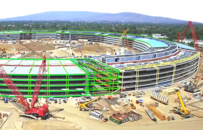
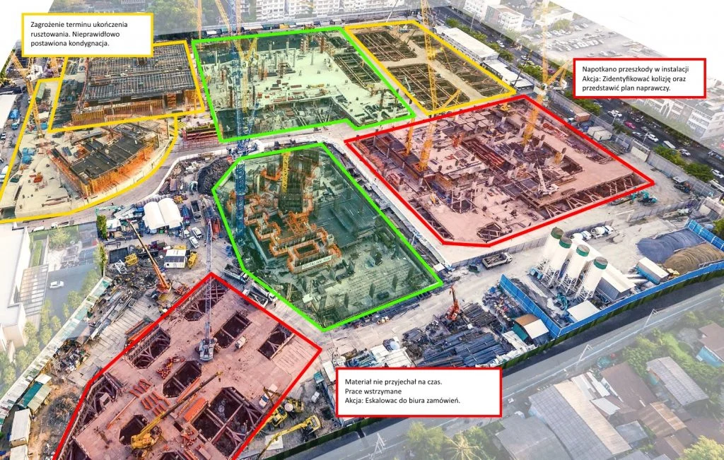
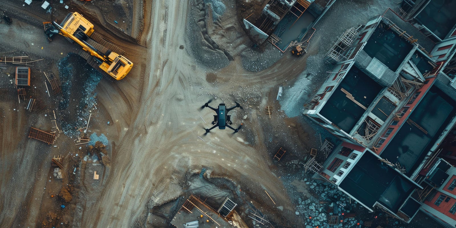
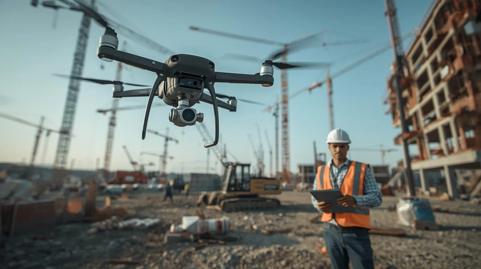
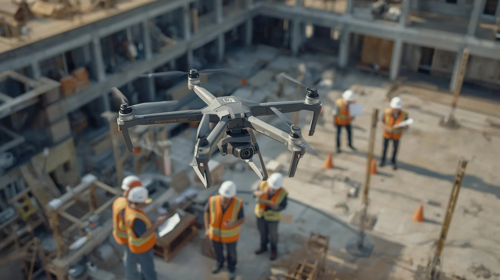
How to effectively monitor construction progress with a drone?
Czytaj Dalej
Innovative surveillance systems with drones for enhanced security
Czytaj Dalej
Surveillance drones: Modern technology for secure surveillance
Czytaj Dalej
Best surveillance drones: Overview and Applications in 2025
Czytaj Dalej
Revolution in aviation: Unmanned aerial vehicles and BVLOS technology
Czytaj Dalej
Surveying Dictionary
Czytaj Dalej
Logistics and cubic capacity – how drones help monitor warehouse spaces
Czytaj Dalej
How SkySnap Portal supports general contractors and investment supervision
Czytaj Dalej
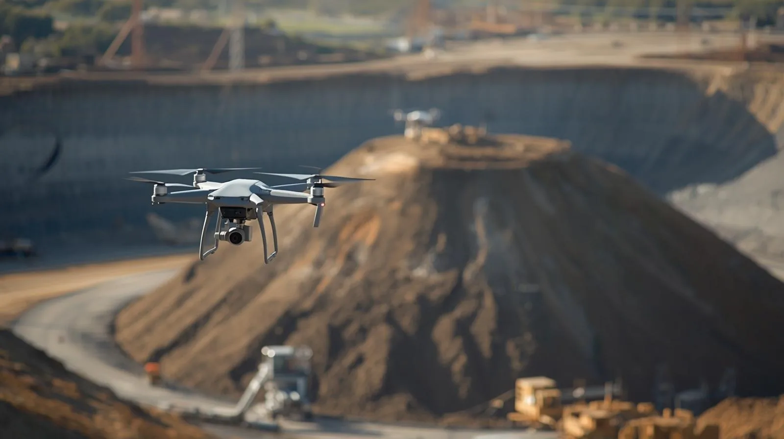
Automatic reports and heap volume analysis in the mining and logistics industry
Czytaj Dalej
SkySnap 2.0 portal – how to detect changes and analyze progress in one place
Czytaj Dalej
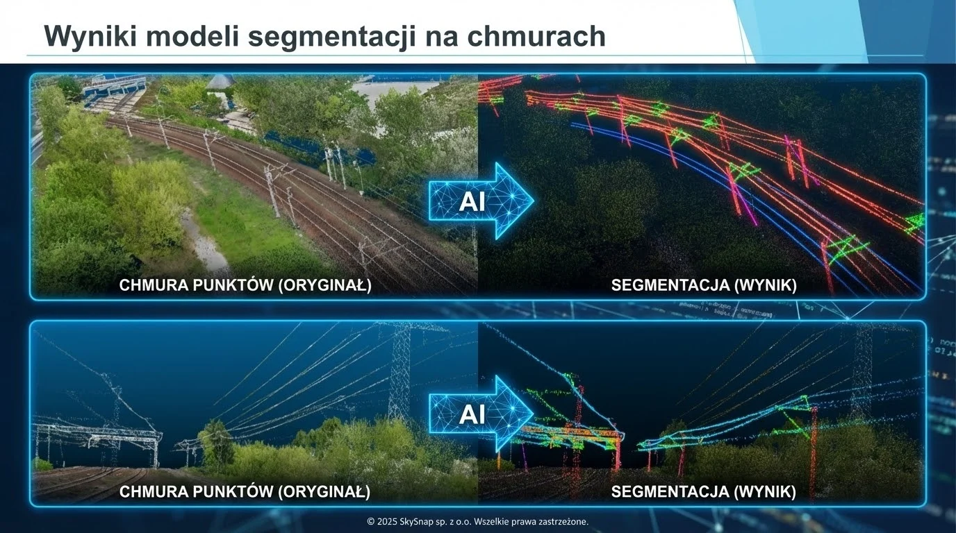
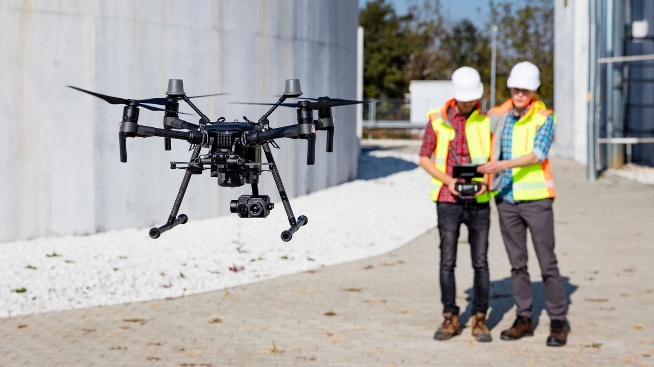
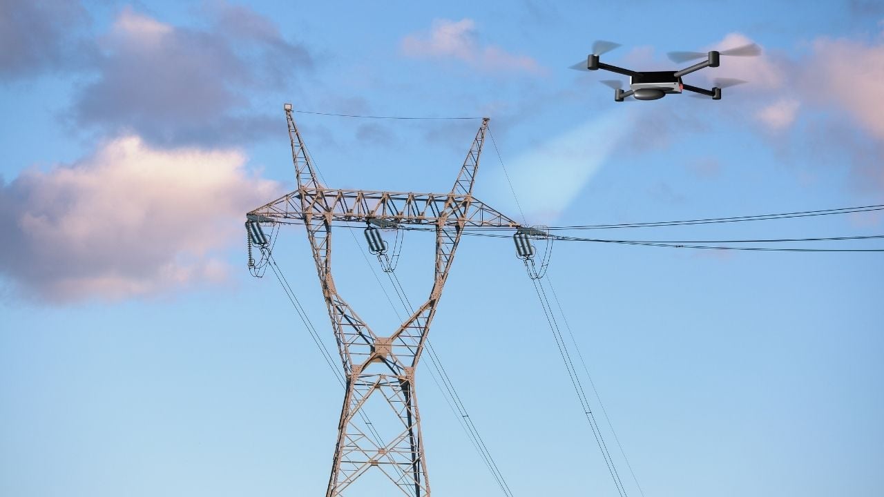
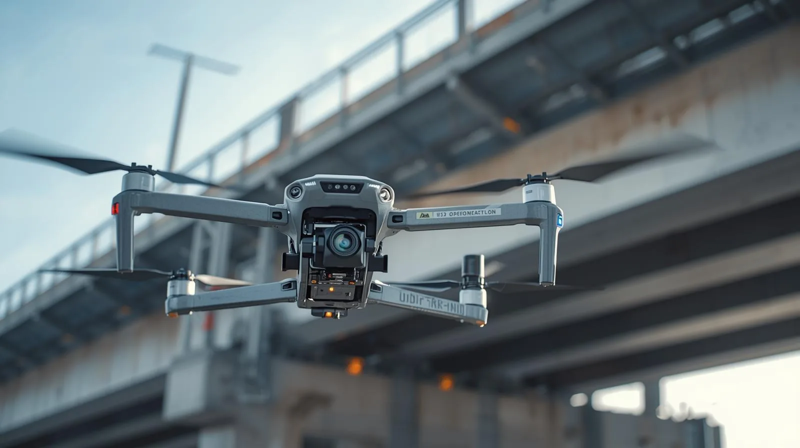
Inspection of power lines from a drone – faster and safer
Czytaj Dalej
How construction companies can speed up heap surveys with SkySnap
Czytaj Dalej
Drone inspections – A modern approach to monitoring infrastructures
Czytaj Dalej
The best map for design purposes by drone – A step-by-step guide
Czytaj Dalej
Best 2025 drone reviews: What should you know before buying one?
Czytaj Dalej
What to look for when buying a drone? A practical guide.
Czytaj Dalej
Effective inventory management methods using a drone
Czytaj Dalej
Modern field measurements with drones – efficiency and precision
Czytaj Dalej
Field measurements by drone: Modern methods and their application
Czytaj Dalej
Innovative drone construction research in construction inspections
Czytaj Dalej
Lidar imagery vs. drones: New opportunities in surveying
Czytaj Dalej
Digital terrain model vs. drones: How to use the technology effectively
Czytaj Dalej
Operation risk assessment: specific operation risk assessment in practice
Czytaj Dalej
NSTS 05 entitlement and drones – your path to advanced flying
Czytaj Dalej
What is kinematics? Real-time kinematics and drones: New application possibilities
Czytaj Dalej
Ground checkpoints and drones: how they work together for precise measurement
Czytaj Dalej
Drones in construction: Modern solutions for more efficient work
Czytaj Dalej
UAV thermal imaging – the key to effective site monitoring
Czytaj Dalej
How are lidar images changing archaeological research in Poland?
Czytaj Dalej
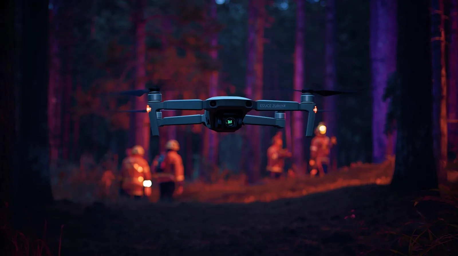
Thermal imaging drone – a key tool for rescuers and professionals
Czytaj Dalej
Best thermal imaging camera on a drone for professional use
Czytaj Dalej
Advanced drone software for effective fleet management
Czytaj Dalej
Innovative technical inspection by drone – safety and efficiency
Czytaj Dalej
Roof inspections by drone – A modern approach to building inspection
Czytaj Dalej
Drone data processing and RODO regulations: What you need to know
Czytaj Dalej
Inventory analysis – the key to efficient company logistics
Czytaj Dalej
Drone filming for construction projects – Modern Solutions – SkySnap
Czytaj Dalej
Professional photogrammetry services for the construction industry: What you should know
Czytaj Dalej
Page load link
Go to Top


")
")

")
")