What awaits participants at Drone World Expo 2026?
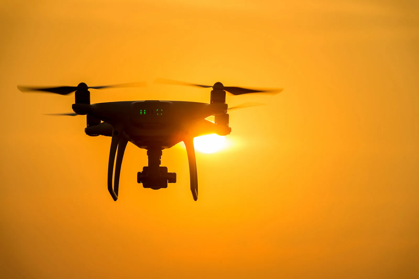
The inaugural edition of Drone World Expo is a new trade event dedicated to drone technologies and unmanned systems, bringing together market leaders, innovators, and practitioners from Poland and abroad. In March 2026, the Expo will combine a trade show, conference, and presentations of future technologies.
During Drone World Expo 2026, participants will be able to:
- 🚀 Discover the latest drone and unmanned system technologies
Modern UAVs, Urban Air Mobility (UAM) solutions, AI, Big Data, and Unmanned Traffic Management (UTM) systems. - 🧭 Participate in the SkyTech Intelligence Summit conference
Presentations and expert panels on civil aviation, autonomy, security, data analytics, and the future of air mobility. - 🤝 Meet industry leaders and establish B2B contacts
A space for business discussions, collaboration, and building relationships between technology and real-world implementations. - 🛰️ See technologies in practice
Solutions that are already revolutionizing technical inspections, logistics, environmental monitoring, and air mobility.
👉 More information about the event can be found on the organizer’s website.
SkySnap at DroneTech World Expo 2026
During the inaugural edition of Drone World Expo, SkySnap will be present as an exhibitor. At our booth, we will demonstrate how drone data and advanced spatial analysis support decision-making and operational processes across various sectors of the economy.
We will present practical applications of our solutions in areas such as:
- construction and investments,
- surveying and measurements,
- infrastructure management,
- spatial data analysis and visualization.
What will you see at the SkySnap booth?
🔍 SkySnap Platform in action
Photogrammetric project management, data analysis, and 3D visualizations.
💬 Conversations with the SkySnap team
About real-world applications of drones and aerial data in commercial projects.
🧩 Implementation examples and case studies
Specific use cases showing how clients utilize SkySnap in practice.
Join us in Warsaw
 Where: Warsaw (Nadarzyn), Poland
 When: March 3–5, 2026
 Meet: the SkySnap team and Drone World Expo participants
Visit the SkySnap booth and see what the future of working with drone data looks like.
See you at Drone World Expo 2026 – Inaugural Edition.
Tips, news, insights
Related articles
Check out our articles and get the latest industry news.


")
")

")
")