



Webinars in series

Warsaw, February 2, 2026 SkySnap provides two key functionalities in the SkySnap Portal: support for BIM files in IFC format and visualization and analysis of 3D mesh models directly in the browser. Users can work in a single environment with the full range of spatial data: from orthophotos and point clouds, to DTM/DSM, to 3D (mesh) and BIM (IFC) models. According to SkySnap, it is one of the few solutions on the market that combines these types of data in a single online portal.

In the age of new technologies, we are able to [...]
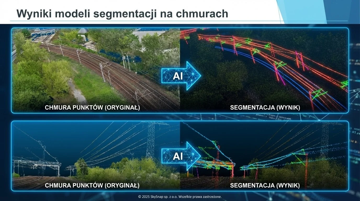
Scan to BIM technology addresses one of the key challenges in construction and infrastructure - the lack of up-to-date, accurate and reliable documentation of existing facilities. In practice, design and construction decisions are often made on the basis of incomplete or outdated data, which generates the risk of errors and costly corrections.
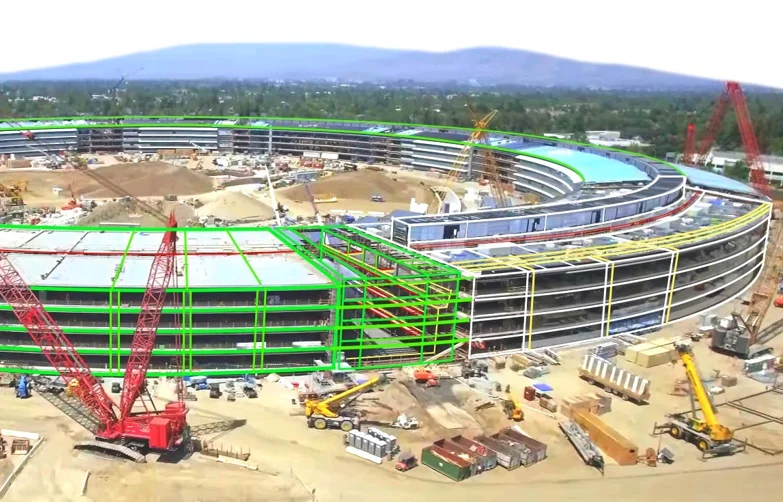
BIM is increasingly moving beyond the design office and directly into the construction site. In this article, we show how, by integrating BIM (IFC) models with drone and AI data in SkySnap, you can compare the design with the actual state of the work, control the progress of the work and build a digital construction site in practice - from the design to the operation stage.
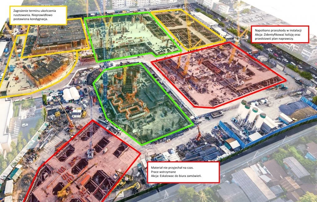
Monitoring construction progress by drone is one of the most effective investment control tools today. In this article, we show you how to plan a photogrammetric raid step-by-step, process the data and use it in the SkySnap Portal for progress analysis, design comparisons and BIM. Find out how to work with up-to-date aerial data and make decisions based on the actual status of construction.

Free SkySnap webinar: find out what drone to buy for professional tasks in 2026! - February 3, 2026
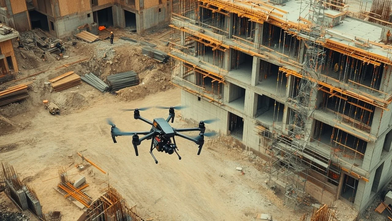
Modern construction is transforming in many ways, but one of [...]

An orthophoto map is a type of map that is [...]

We are proud to announce that SkySnap will be present as an exhibitor at the inaugural edition of Drone World Expo, a new event dedicated to drone technologies and unmanned systems. We invite you to visit the SkySnap booth and discuss the practical use of drone data. See you in Warsaw, March 3–5, 2026.

We are proud to announce that SkySnap will be present as an exhibitor at the 11th edition of DroneTech World Meeting - one of the key events dedicated to unmanned and autonomous technologies. DroneTech has been bringing together industry leaders, innovators and practitioners for years, creating a space for knowledge sharing, technology presentations and networking. The 11th edition of the event is another installment of meetings that are really shaping the future of drones. We invite you to visit the SkySnap booth and talk about practical applications of drone data. See you at DroneTech World Meeting - 11th edition.
Related Articles
Warsaw, February 2, 2026 SkySnap provides two key functionalities in the SkySnap Portal: support for BIM files in IFC format and visualization and analysis of 3D mesh models directly in the browser. Users can work in a single environment with the full range of spatial data: from orthophotos and point clouds, to DTM/DSM, to 3D (mesh) and BIM (IFC) models. According to SkySnap, it is one of the few solutions on the market that combines these types of data in a single online portal.
In the age of new technologies, we are able to [...]
Scan to BIM technology addresses one of the key challenges in construction and infrastructure - the lack of up-to-date, accurate and reliable documentation of existing facilities. In practice, design and construction decisions are often made on the basis of incomplete or outdated data, which generates the risk of errors and costly corrections.
BIM is increasingly moving beyond the design office and directly into the construction site. In this article, we show how, by integrating BIM (IFC) models with drone and AI data in SkySnap, you can compare the design with the actual state of the work, control the progress of the work and build a digital construction site in practice - from the design to the operation stage.
Monitoring construction progress by drone is one of the most effective investment control tools today. In this article, we show you how to plan a photogrammetric raid step-by-step, process the data and use it in the SkySnap Portal for progress analysis, design comparisons and BIM. Find out how to work with up-to-date aerial data and make decisions based on the actual status of construction.
Free SkySnap webinar: find out what drone to buy for professional tasks in 2026! - February 3, 2026
Modern construction is transforming in many ways, but one of [...]
An orthophoto map is a type of map that is [...]
We are proud to announce that SkySnap will be present as an exhibitor at the inaugural edition of Drone World Expo, a new event dedicated to drone technologies and unmanned systems. We invite you to visit the SkySnap booth and discuss the practical use of drone data. See you in Warsaw, March 3–5, 2026.
We are proud to announce that SkySnap will be present as an exhibitor at the 11th edition of DroneTech World Meeting - one of the key events dedicated to unmanned and autonomous technologies. DroneTech has been bringing together industry leaders, innovators and practitioners for years, creating a space for knowledge sharing, technology presentations and networking. The 11th edition of the event is another installment of meetings that are really shaping the future of drones. We invite you to visit the SkySnap booth and talk about practical applications of drone data. See you at DroneTech World Meeting - 11th edition.
Need more information?
Take a look at our Help Center – there you will find instructions, answers to the most common questions and guides to new features.

SkySnap
How can SkySnap help you with the topic of drone investment monitoring?
Accurate and Fast Inventory
Detailed data acquired from drones according to specifications for each identified object.
Reports
We perform analysis and measurements of infrastructure based on acquired data.
Dedicated Analysis and Measurement System
Online portal for easy data viewing, measurements, and collaboration among users.













