Webinars in series
Nothing Found
Related articles
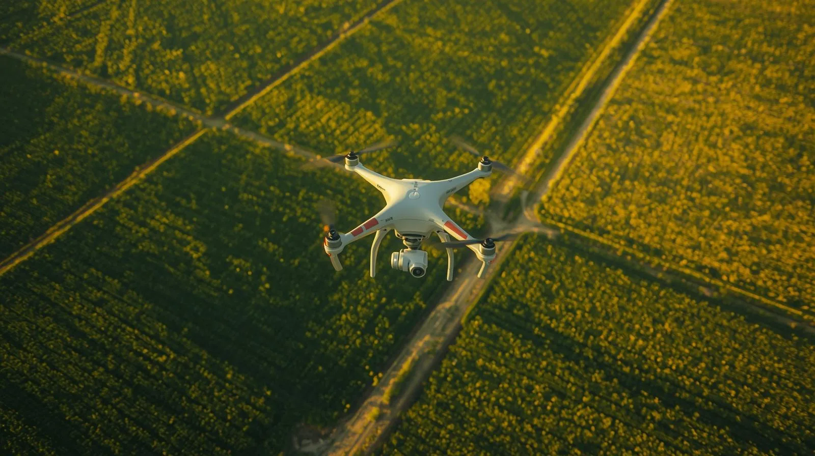
Drones are revolutionizing the mapping of agricultural fields, allowing precise monitoring of crops, optimization of yields and better management of resources. In this guide, you'll learn how to effectively use drones in agriculture and the benefits they can bring to your farm.
Land denivelization plays a key role in construction and urban planning, affecting structural stability and efficient land use. Find out what the process entails, what technologies are used and why it is so important for the environment and infrastructure.
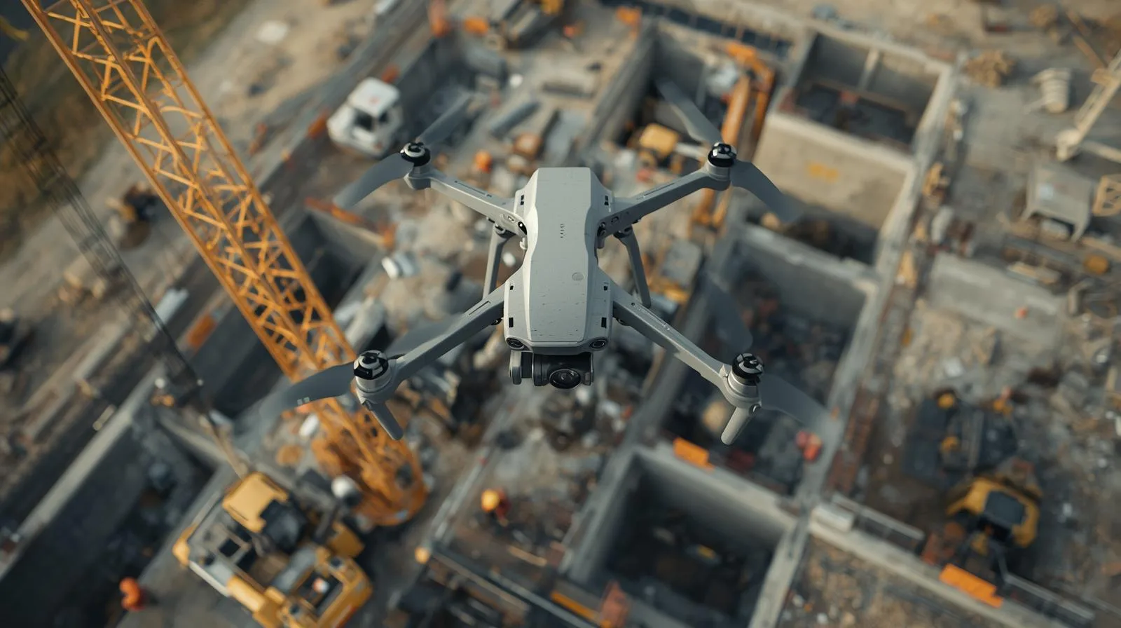
Drones are revolutionizing construction monitoring, providing rapid data collection, better progress control and improved safety. They enable accurate documentation, cost reduction and more effective project management, becoming a key tool in modern construction.
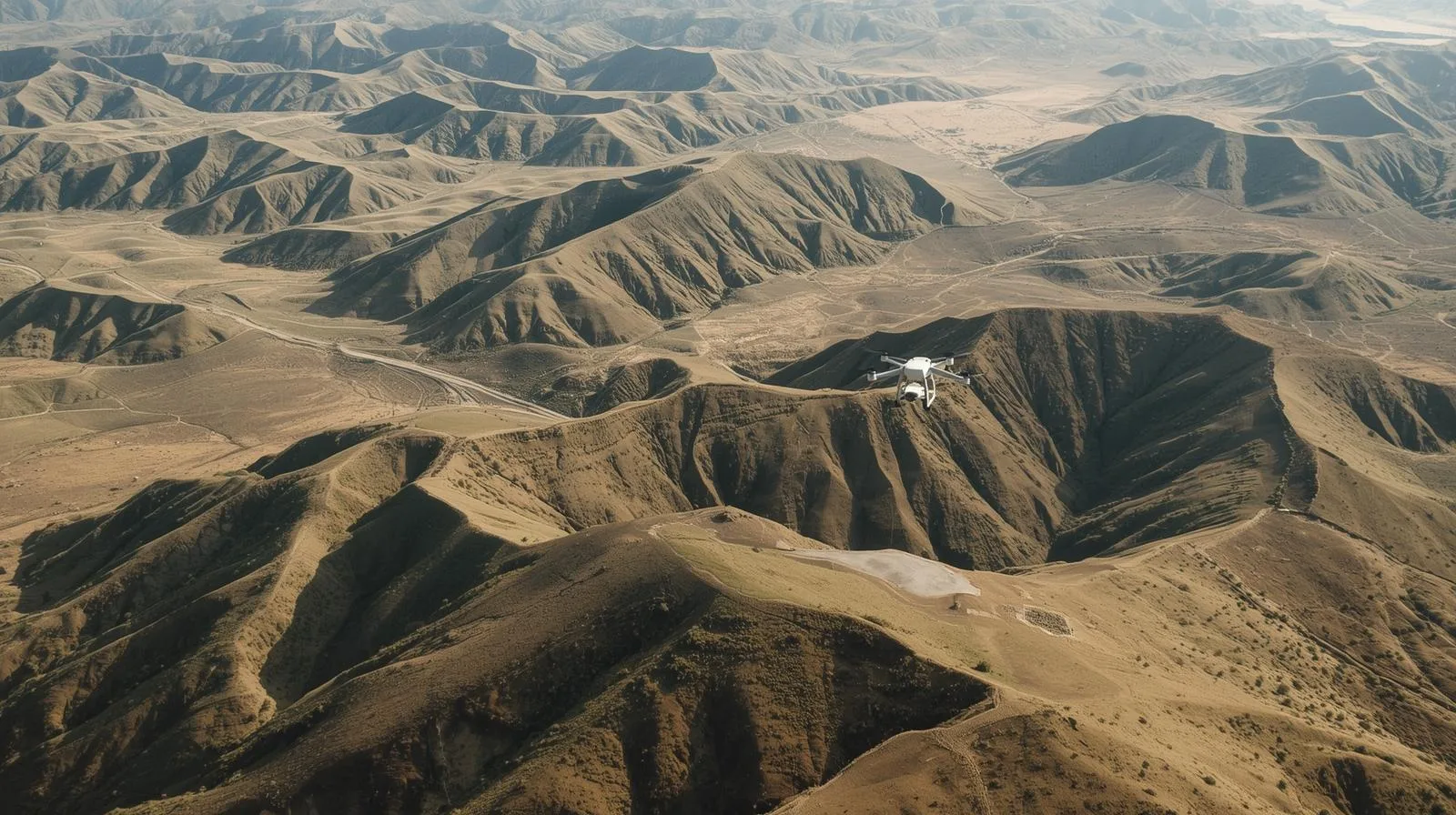
Drones are revolutionizing surveying by providing fast, precise and safe data collection. They make it possible to create orthophotos, 3D models and monitor terrain changes. Compared to traditional methods, they offer greater efficiency, cost savings and better accessibility to hard-to-reach areas.
Drone data sharing is revolutionizing technology, enabling faster analysis and better decision-making. The use of drones in agriculture, infrastructure and monitoring allows for more efficient data management, supporting the development of smart systems and process automation.
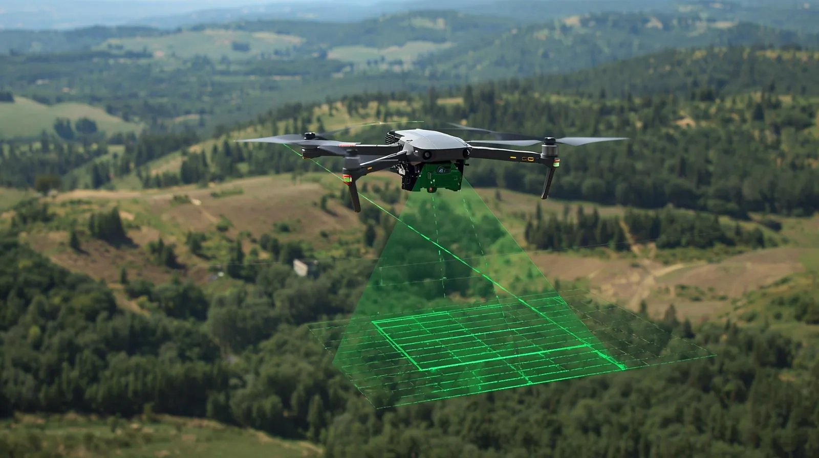
LiDAR from a drone is a precision land mapping technology that creates accurate 3D models. Thanks to the drone's mobility, it enables fast and efficient data collection in surveying, construction and agriculture. Ideal for analyzing hard-to-reach areas.
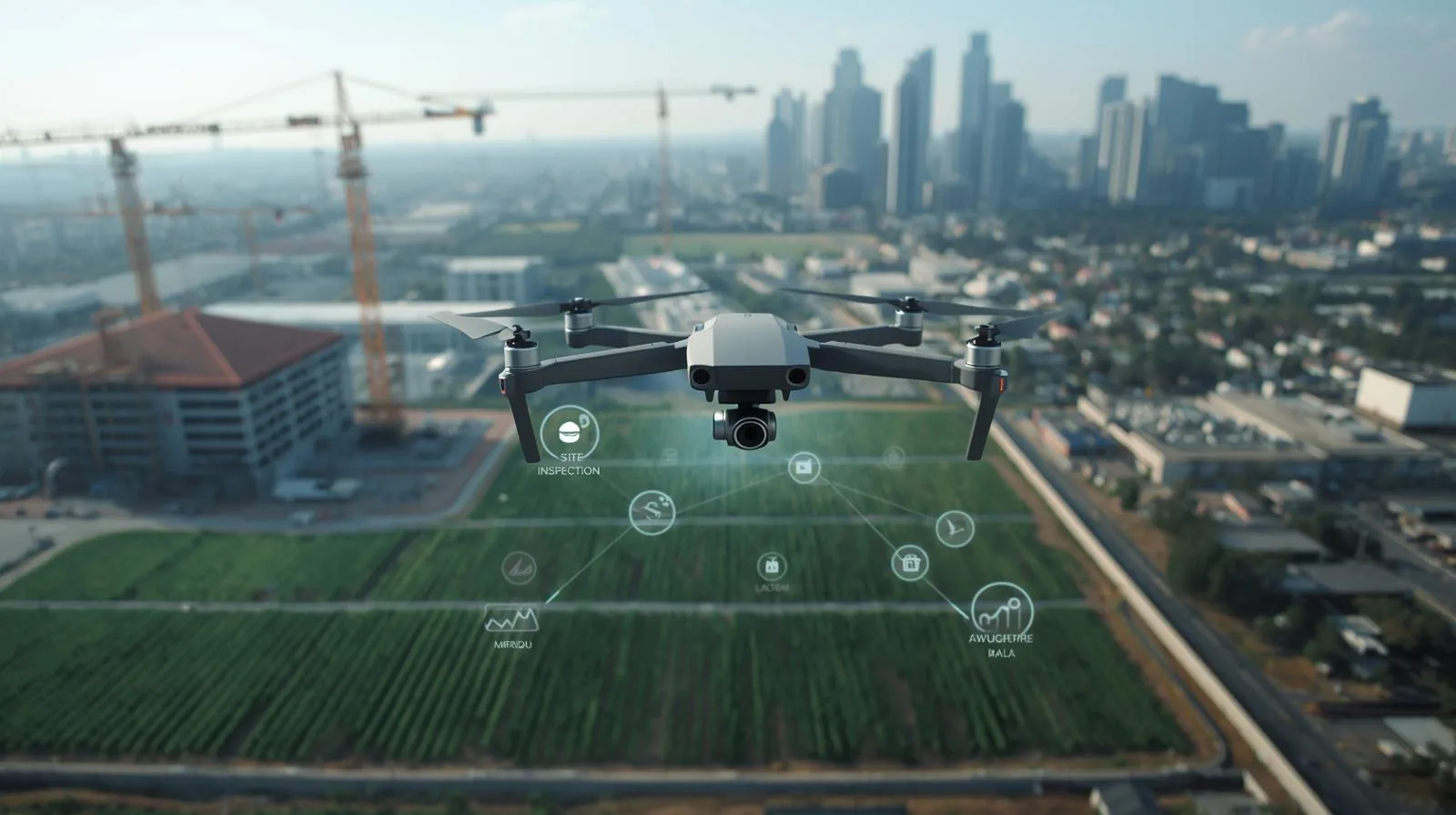
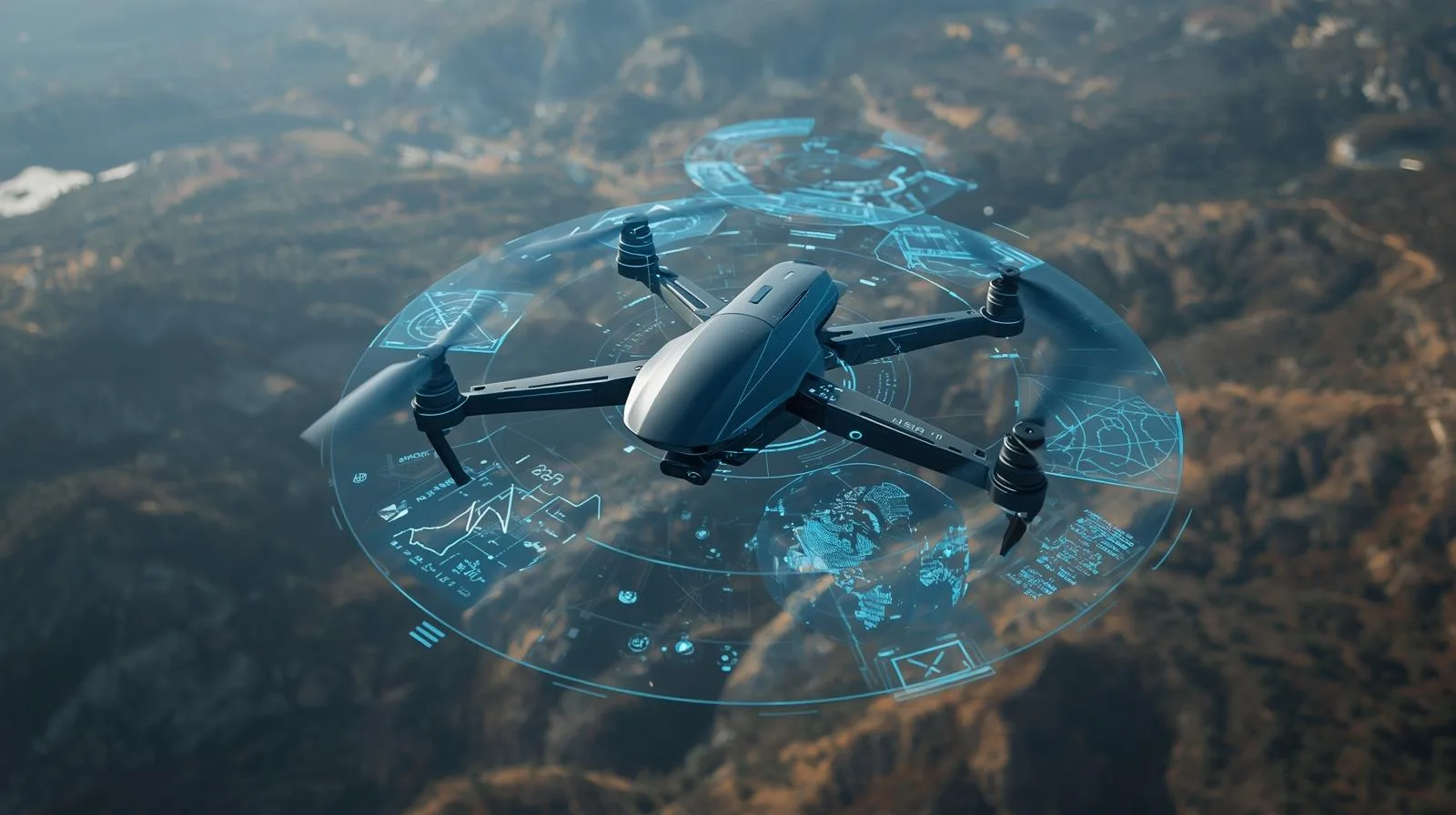
Drone services are changing the way many industries, from agriculture to logistics, operate. They are making precise inspections, efficient resource management and fast deliveries possible. Check out how drones are revolutionizing business and the benefits they can bring to your industry!
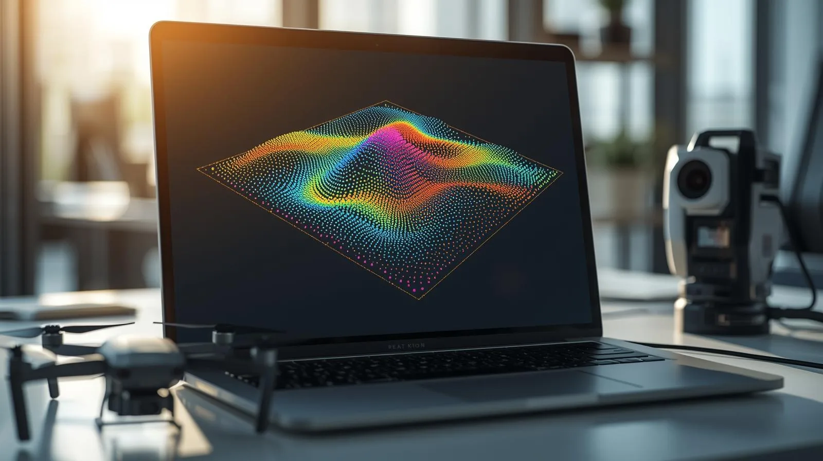
Online point cloud is an innovative solution that is revolutionizing the engineering, architectural and surveying industries. By accurately mapping objects in 3D, it enables accurate analysis, modeling and visualization. Learn how this technology works and the benefits it can bring to your industry!
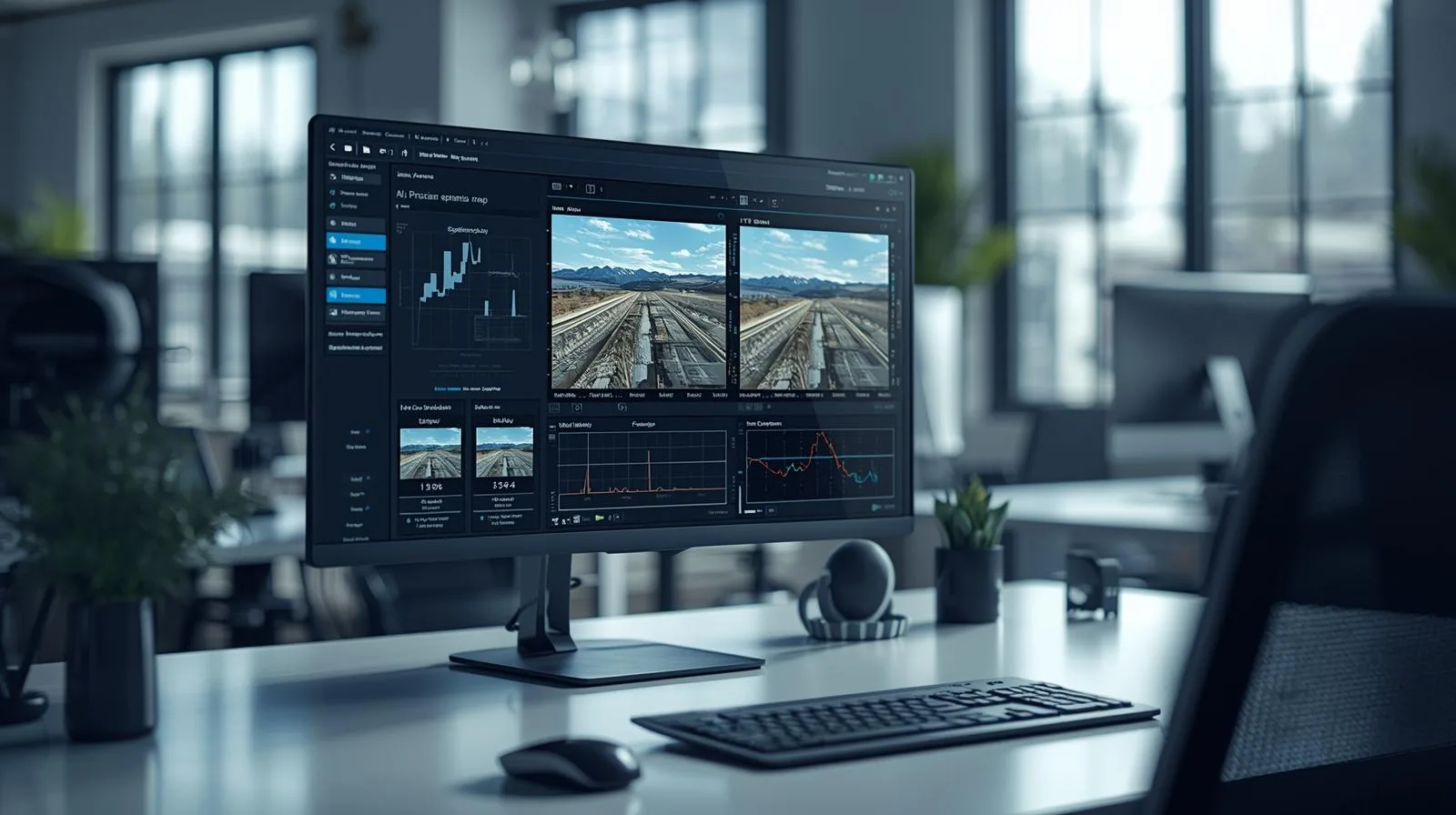
Image processing is more than just photo editing - it is a technology that is driving the development of artificial intelligence, medicine and security. Learn about the latest developments in this field and see how they are changing our digital reality.

SkySnap
How can SkySnap help you with the topic of drone investment monitoring?
Accurate and Fast Inventory
Detailed data acquired from drones according to specifications for each identified object.
Reports
We perform analysis and measurements of infrastructure based on acquired data.
Dedicated Analysis and Measurement System
Online portal for easy data viewing, measurements, and collaboration among users.


")
")

")
")