Of the many applications of drone technology – from delivering products to collecting top-quality images – one of the most fascinating is drone measurements. In this post, we’ll give you a hint on how drone measurements work and how they can serve various fields of science and industry.
Precision measurements from drones
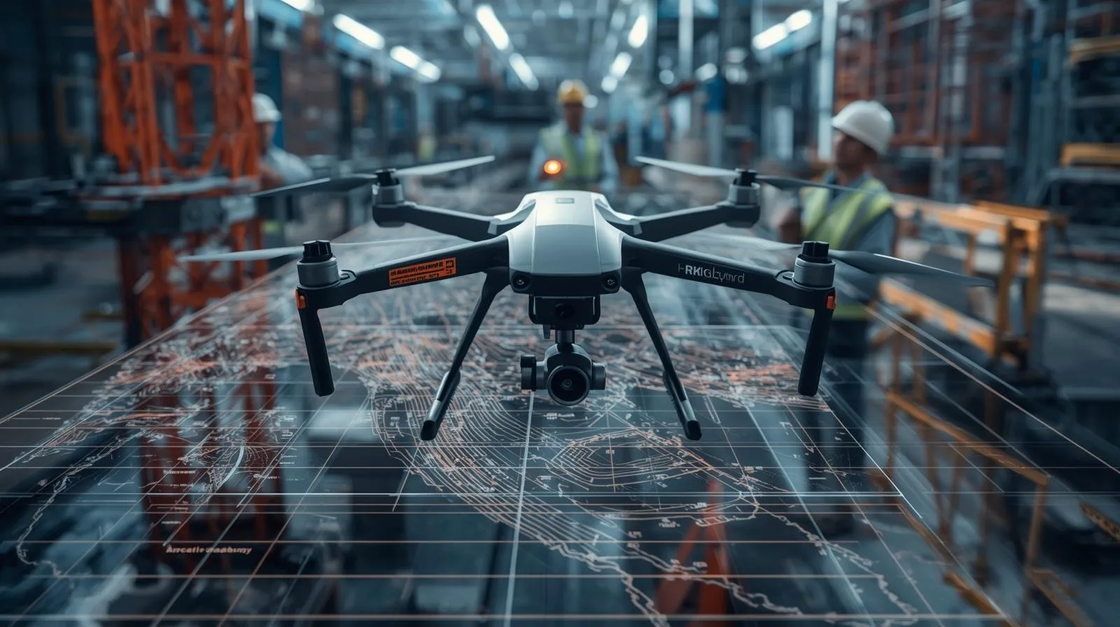
Most drones used for surveying are equipped with a set of special sensors that collect data about the environment. These sensors can include cameras, temperature sensors, humidity sensors and even specialized measuring devices such as lidars. The drones’ small size enables precise and accurate measurements in hard-to-reach areas.
Method of operation of drone measurements
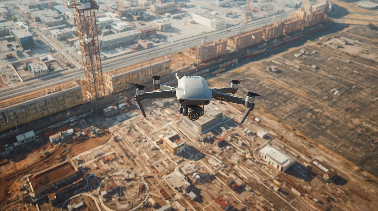
Drone surveys are most often based on the idea of photogrammetry, which involves creating maps and 3D models based on data collected by drones. A drone with a camera takes photos from different angles, which are then pieced together using specialized software. This process, known as photogrammetry, makes it possible to create accurate 3D models of areas, buildings or structures.
Applications of drone measurements
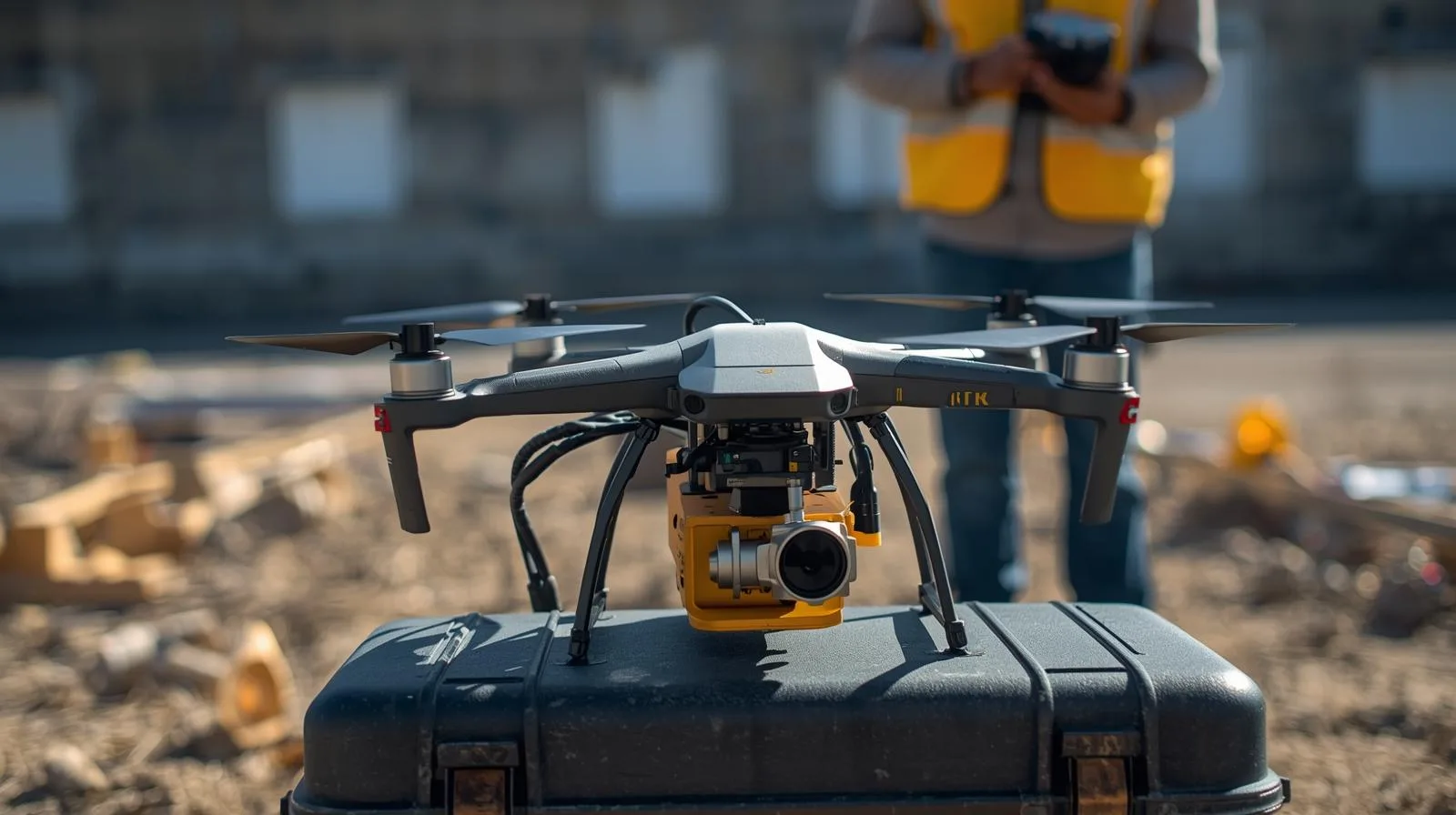
The possibilities for drone surveying applications are vast and transcend the surveying sector. From archaeology, where they help discover and document ancient sites, to agriculture, where they allow farmers to monitor crop growth and large-scale pest control. In the construction industry, drones are used to inspect buildings and structures, helping engineers and architects monitor progress and identify potential problems.
Benefits of drone measurements
The main benefit of drone measurements is the accuracy of the data. The ability to collect precise data from within a few centimeters means that measurements from drones are often more accurate than traditional surveying methods. In addition, drones are able to reach areas that are difficult for humans to reach, making it possible to collect data from within arm’s reach.
The second benefit is cost effectiveness. Drones are able to cover large areas in a short period of time, making them much more cost-effective than traditional surveying methods. In addition, because of their portability and ease of use, drones are an excellent tool for regular monitoring and creating cyclical reports.
Summary
The measurements from drones are serving the development of many sectors and bringing enormous benefits to science and industry. Precise and cost-effective, drone measurements are an advanced technology that is changing the way we collect and analyze data about our world.
Tips, news, insights
Related articles
Check out our articles and get the latest industry news.


")
")

")
")