



Webinars in series
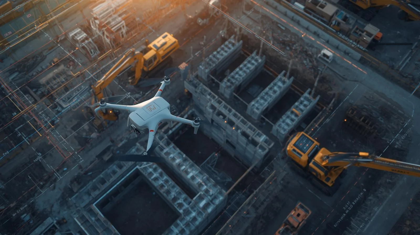
Drones are revolutionizing the construction sector, enabling fast, accurate and safe site surveys and monitoring the progress of work. The use of modern technologies, such as LiDAR and RTK, allows precise mapping and optimization of investment processes. In this article, we analyze the benefits of drones on construction sites, their use in various stages of projects, and their impact on reducing costs and increasing work efficiency.
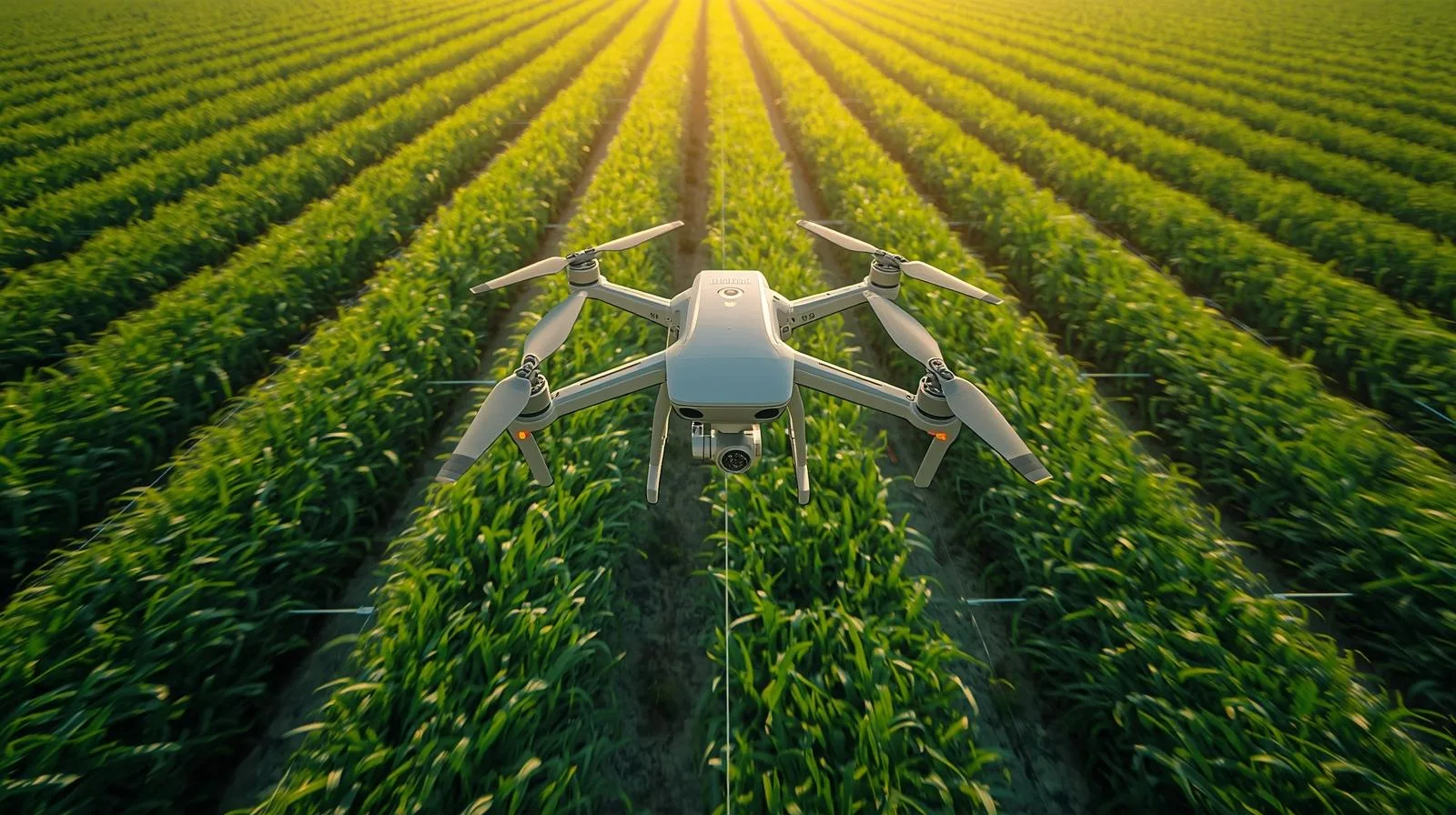
RTK (Real-Time Kinematic) technology is revolutionizing the way we use drones in agriculture, surveying and other industries requiring precise measurements. It provides accurate real-time data, resulting in greater efficiency and optimized operational costs. In this article, we look at how RTK improves the accuracy of mapping, crop monitoring and spatial analysis, helping farmers and engineers make more accurate decisions.
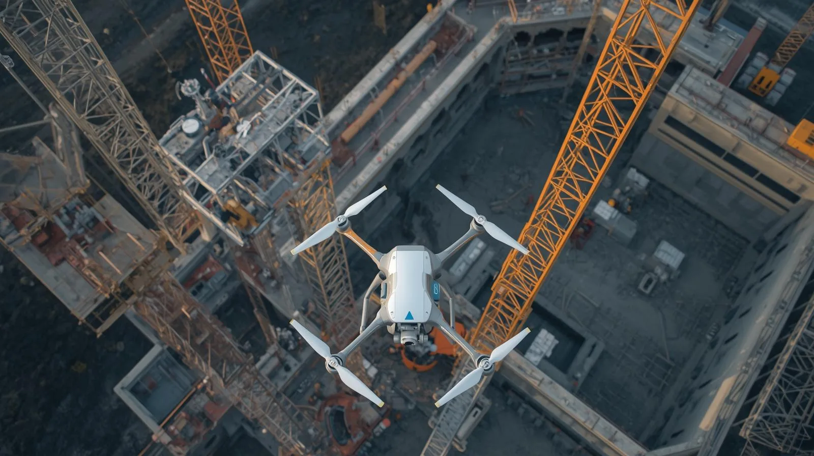
Monitoring construction progress is an essential part of effective project management. Thanks to modern technologies such as drones, image analysis systems and IoT monitoring, it is possible to accurately track work at every stage. In this article, we discuss the key tools, the stages of monitoring implementation and its impact on construction safety and efficiency. Learn how effective monitoring can prevent delays and increase the quality of an ongoing project.

Effective inventory analysis is a key element of efficient logistics and supply chain management. Adequate monitoring and optimization of inventory avoid both shortages of goods and excessive storage costs. Modern technologies, such as ERP systems and process automation, enable precise, real-time inventory management. In this article, we will look at methods, tools and strategies that help companies increase operational efficiency.
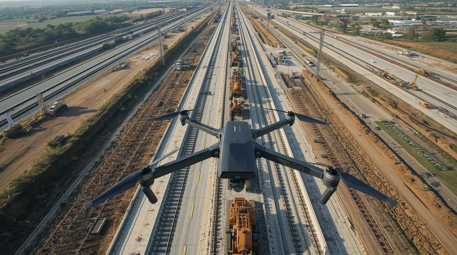
Drones are playing an increasingly important role in linear construction, offering cutting-edge solutions for project monitoring, planning and supervision. With precise terrain mapping and rapid data collection, they can significantly increase the efficiency of infrastructure projects. Their use helps improve safety and reduce operating costs, minimizing the risk of errors and delays. In this article, we take a look at how drone technology is revolutionizing linear construction and the benefits it brings to the industry as a whole.

Modern technologies enable precise monitoring of work progress, accurate site mapping and improved safety on construction sites. With drones, investors and engineers can quickly identify potential problems and optimize construction processes. In the article, we look at how aerial filming is revolutionizing the industry and the benefits it brings.
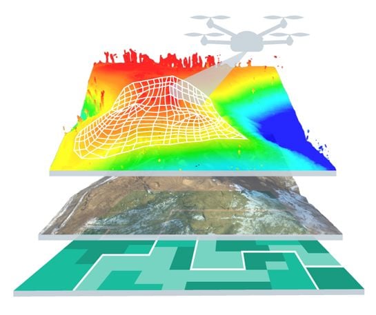
LiDAR technology from a drone is revolutionizing the way land is mapped and analyzed, providing precise data in less time. Thanks to its ability to scan even hard-to-reach areas, it is widely used in surveying, construction or environmental protection. The use of drones equipped with LiDAR allows to increase the accuracy of measurements and optimize operational costs. In the article, we will look at how this technology is changing the approach to spatial data collection and what benefits it brings to various industries.
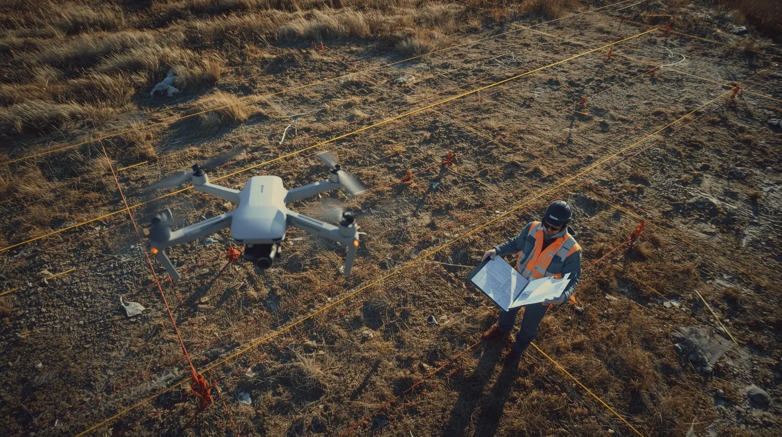
Drones are changing the way we create surveying maps, offering faster, more accurate and more efficient surveying methods. Thanks to modern aerial technologies and advanced sensors, they enable precise mapping of terrain even in hard-to-reach areas. The use of drones in surveying allows for significant time and cost savings, while increasing the quality of the data collected. In this article, we will look at how drones are revolutionizing cartography and the benefits they bring to the surveying industry.
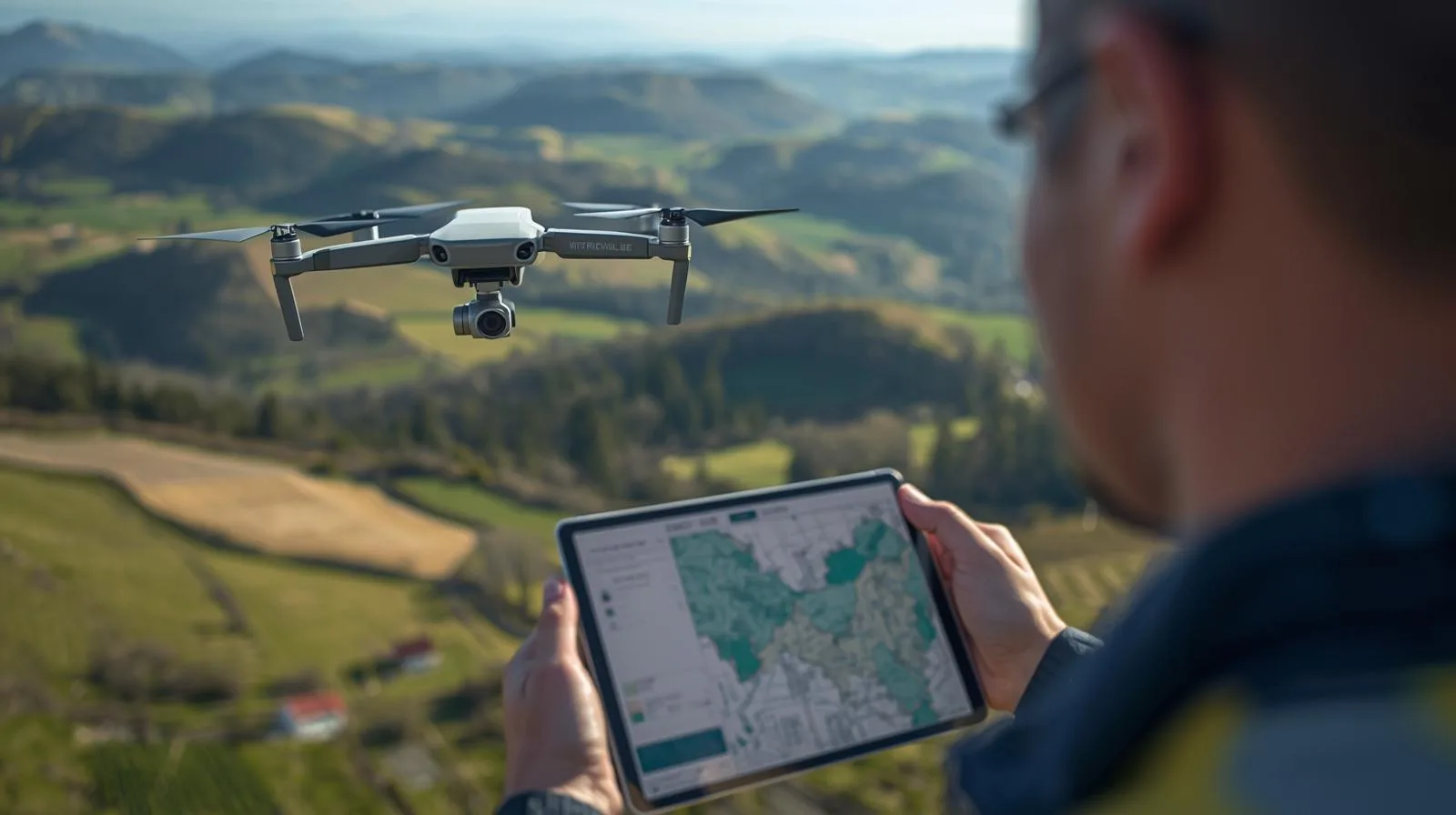
Land mapping is a key process in surveying, construction and urban planning, which is becoming increasingly precise and efficient thanks to modern technologies. The use of drones and advanced data analysis systems allows the rapid collection of information from large areas, while minimizing costs and work time. Professional tools, such as photogrammetry and LiDAR, make it possible to create accurate 3D models and analyze terrain structure. In this article, we will discuss the best techniques and tools used in mapping, which help professionals achieve the highest quality and precision of measurements.
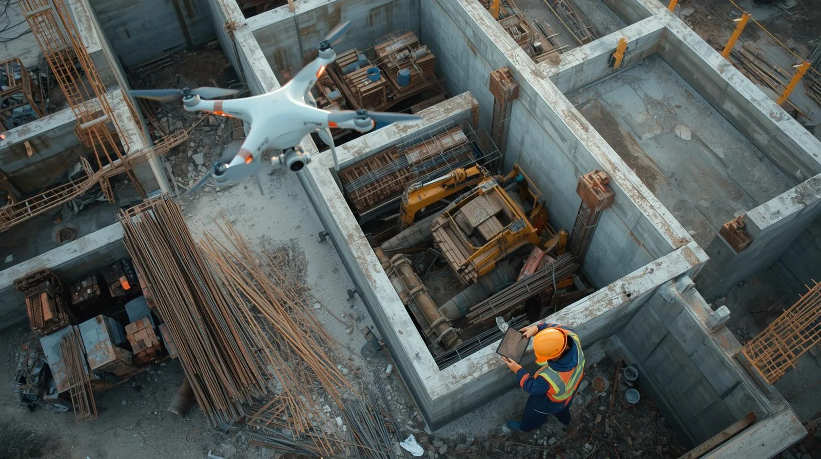
Construction site inventory is a key process that allows for effective project management, cost control and monitoring of work progress. Thanks to modern technologies, such as drones and 3D modeling, it is possible to quickly and accurately collect data on the status of construction. Automating the process increases safety, reduces errors and allows better planning of the next stages of implementation. In this article, we'll take a look at why construction site inventory is essential, and what tools can help make it effective.
Related Articles
Drones are revolutionizing the construction sector, enabling fast, accurate and safe site surveys and monitoring the progress of work. The use of modern technologies, such as LiDAR and RTK, allows precise mapping and optimization of investment processes. In this article, we analyze the benefits of drones on construction sites, their use in various stages of projects, and their impact on reducing costs and increasing work efficiency.
RTK (Real-Time Kinematic) technology is revolutionizing the way we use drones in agriculture, surveying and other industries requiring precise measurements. It provides accurate real-time data, resulting in greater efficiency and optimized operational costs. In this article, we look at how RTK improves the accuracy of mapping, crop monitoring and spatial analysis, helping farmers and engineers make more accurate decisions.
Monitoring construction progress is an essential part of effective project management. Thanks to modern technologies such as drones, image analysis systems and IoT monitoring, it is possible to accurately track work at every stage. In this article, we discuss the key tools, the stages of monitoring implementation and its impact on construction safety and efficiency. Learn how effective monitoring can prevent delays and increase the quality of an ongoing project.
Effective inventory analysis is a key element of efficient logistics and supply chain management. Adequate monitoring and optimization of inventory avoid both shortages of goods and excessive storage costs. Modern technologies, such as ERP systems and process automation, enable precise, real-time inventory management. In this article, we will look at methods, tools and strategies that help companies increase operational efficiency.
Drones are playing an increasingly important role in linear construction, offering cutting-edge solutions for project monitoring, planning and supervision. With precise terrain mapping and rapid data collection, they can significantly increase the efficiency of infrastructure projects. Their use helps improve safety and reduce operating costs, minimizing the risk of errors and delays. In this article, we take a look at how drone technology is revolutionizing linear construction and the benefits it brings to the industry as a whole.
Modern technologies enable precise monitoring of work progress, accurate site mapping and improved safety on construction sites. With drones, investors and engineers can quickly identify potential problems and optimize construction processes. In the article, we look at how aerial filming is revolutionizing the industry and the benefits it brings.
LiDAR technology from a drone is revolutionizing the way land is mapped and analyzed, providing precise data in less time. Thanks to its ability to scan even hard-to-reach areas, it is widely used in surveying, construction or environmental protection. The use of drones equipped with LiDAR allows to increase the accuracy of measurements and optimize operational costs. In the article, we will look at how this technology is changing the approach to spatial data collection and what benefits it brings to various industries.
Drones are changing the way we create surveying maps, offering faster, more accurate and more efficient surveying methods. Thanks to modern aerial technologies and advanced sensors, they enable precise mapping of terrain even in hard-to-reach areas. The use of drones in surveying allows for significant time and cost savings, while increasing the quality of the data collected. In this article, we will look at how drones are revolutionizing cartography and the benefits they bring to the surveying industry.
Land mapping is a key process in surveying, construction and urban planning, which is becoming increasingly precise and efficient thanks to modern technologies. The use of drones and advanced data analysis systems allows the rapid collection of information from large areas, while minimizing costs and work time. Professional tools, such as photogrammetry and LiDAR, make it possible to create accurate 3D models and analyze terrain structure. In this article, we will discuss the best techniques and tools used in mapping, which help professionals achieve the highest quality and precision of measurements.
Construction site inventory is a key process that allows for effective project management, cost control and monitoring of work progress. Thanks to modern technologies, such as drones and 3D modeling, it is possible to quickly and accurately collect data on the status of construction. Automating the process increases safety, reduces errors and allows better planning of the next stages of implementation. In this article, we'll take a look at why construction site inventory is essential, and what tools can help make it effective.
Need more information?
Take a look at our Help Center – there you will find instructions, answers to the most common questions and guides to new features.
SkySnap
How can SkySnap help you with the topic of drone investment monitoring?
Accurate and Fast Inventory
Detailed data acquired from drones according to specifications for each identified object.
Reports
We perform analysis and measurements of infrastructure based on acquired data.
Dedicated Analysis and Measurement System
Online portal for easy data viewing, measurements, and collaboration among users.













