



Webinars in series
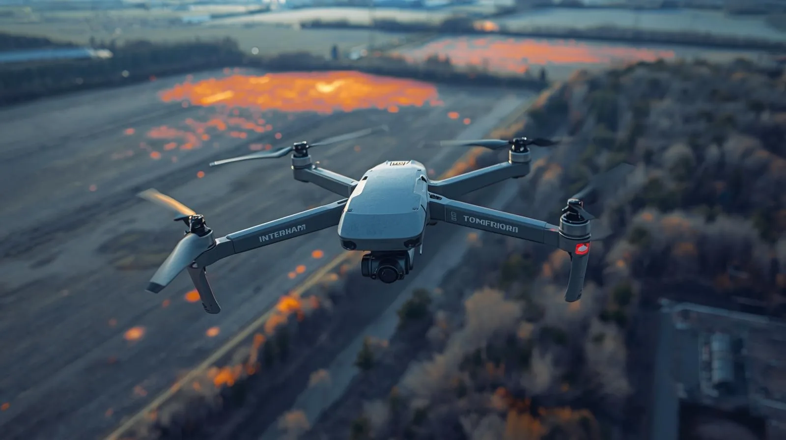
Filming 3D with a drone opens up a new dimension of video creation - capturing depth and realism unavailable in traditional shots. Learn how 3D technology works, what equipment you'll need, and how to harness the potential of a drone for 3D filming.
LiDAR technology is opening a new chapter in archaeological research - including in Poland. Thanks to lidar images, it is possible to discover the remains of ancient settlements and structures hidden under dense vegetation, without the need for invasive excavations. The article explains how LiDAR works, what benefits it brings to archaeologists and why it is becoming an indispensable tool in modern exploration of the past.
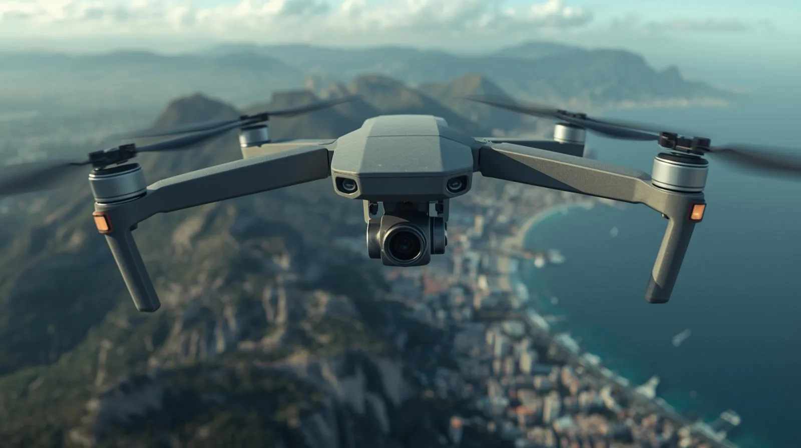
Filming 3D with a drone opens up a new dimension of video creation - capturing depth and realism unavailable in traditional shots. Learn how 3D technology works, what equipment you'll need, and how to harness the potential of a drone for 3D filming.
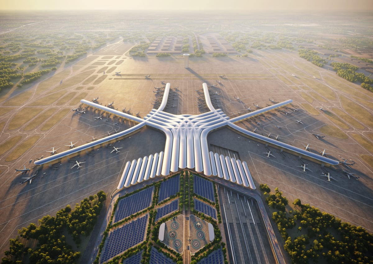
Warsaw, 2025 - SkySnap has been selected to carry out a key project for the Central Communication Port (CPK). Under the contract, SkySnap will develop a digital orthophotomap and 3D models for the areas located in the municipalities of Baranów, Teresin, Wiskitki and Grodzisk Mazowiecki. The project is an important part of preparations for the construction of a new airport and associated infrastructure.
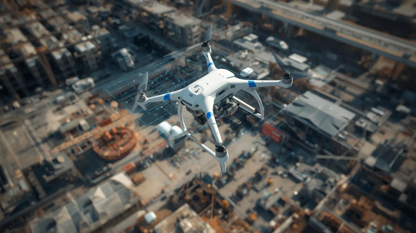
3D photogrammetry using drones is a breakthrough in surveying, architecture and urban planning. Learn how precise terrain models are being created, the technologies behind the process and in which industries they are becoming increasingly important.
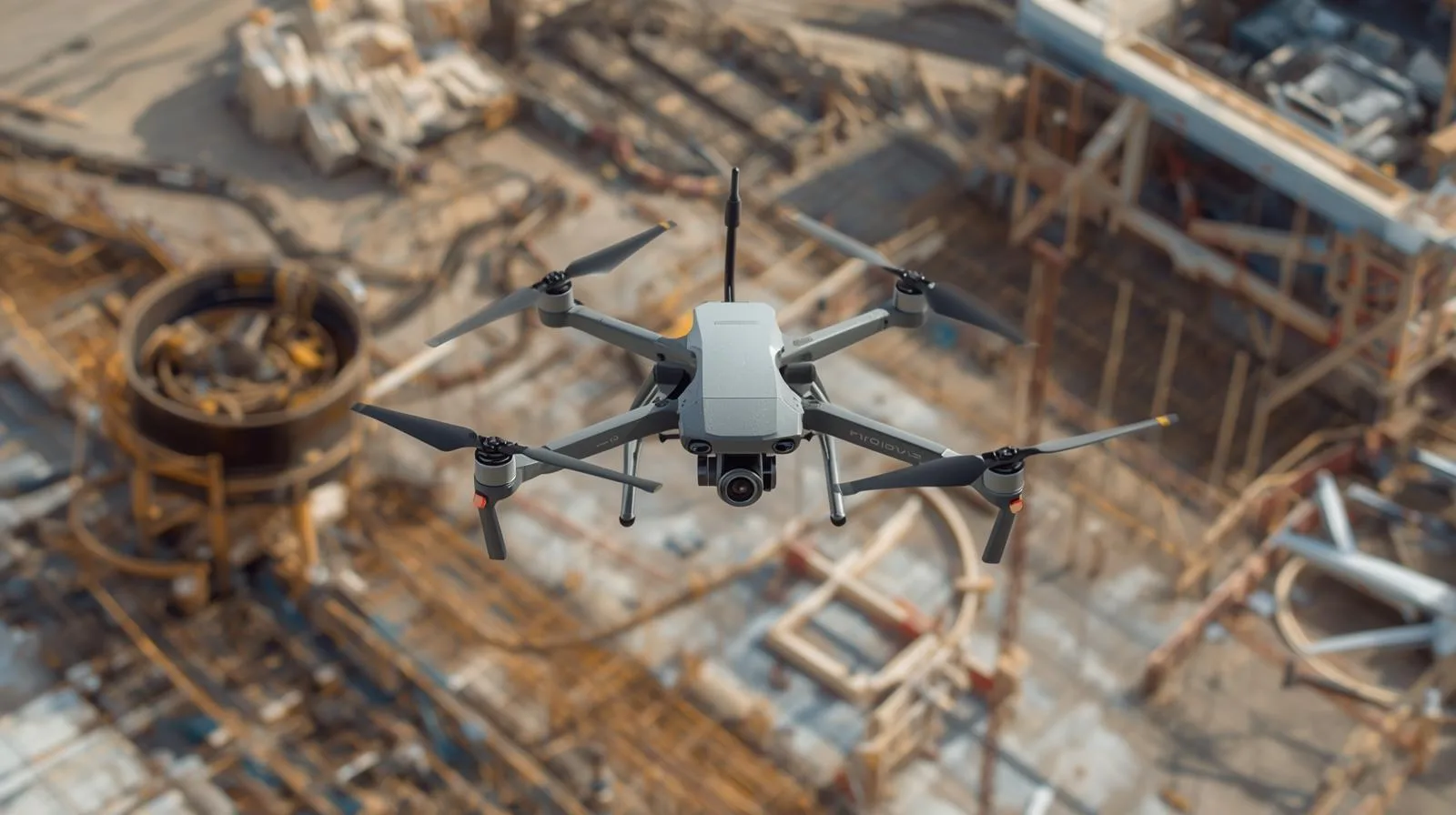
Accuracy in surveying is not a luxury, but a necessity. Accurate measurements are the foundation for safe construction, effective urban planning and sustainable urban development. Learn how modern technologies are affecting the quality of surveying data.
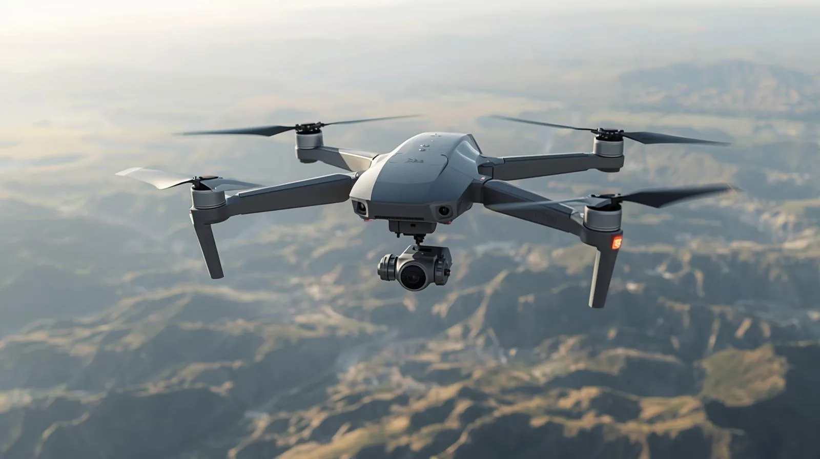
LiDAR technology is revolutionizing the way we measure and analyze the world around us. From terrain mapping to autonomous vehicles to archaeology, the technology's precision and versatility are making it applicable to a growing number of industries. Learn about the principle of LiDAR, its key components, practical applications and the developments that are shaping the future of this innovative technology.
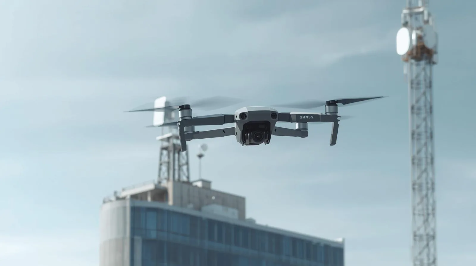
Precision matters - especially in surveying, construction and precision agriculture. The RTK (Real-Time Kinematic) method allows measurements to be taken with centimeter accuracy in real time, making it one of the most important solutions in modern satellite positioning. In this article we explain what RTK technology is, how it works, where it is used and why it is worth investing in its implementation. This is a practical guide for beginners and professionals alike.
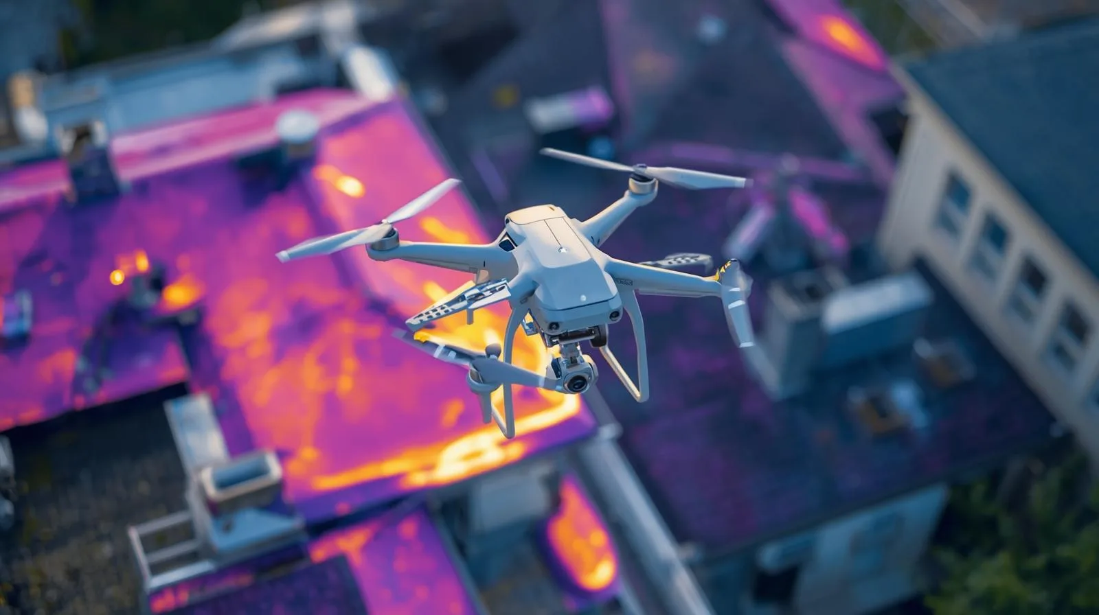
Thermal imaging using drones is a revolution in real-time diagnostics, monitoring and data analysis. It makes it possible to quickly detect leaks, overheating installations or problems in crops - and without the need for large teams or getting into hard-to-reach places. In this article, we explain what thermal imaging technology is, how drone-mounted cameras work, and in which industries it brings the greatest benefits. Learn about the potential of this technology and see how it can improve your business operations.
LiDAR technology is opening a new chapter in archaeological research - including in Poland. Thanks to lidar images, it is possible to discover the remains of ancient settlements and structures hidden under dense vegetation, without the need for invasive excavations. The article explains how LiDAR works, what benefits it brings to archaeologists and why it is becoming an indispensable tool in modern exploration of the past.
Related Articles
Filming 3D with a drone opens up a new dimension of video creation - capturing depth and realism unavailable in traditional shots. Learn how 3D technology works, what equipment you'll need, and how to harness the potential of a drone for 3D filming.
LiDAR technology is opening a new chapter in archaeological research - including in Poland. Thanks to lidar images, it is possible to discover the remains of ancient settlements and structures hidden under dense vegetation, without the need for invasive excavations. The article explains how LiDAR works, what benefits it brings to archaeologists and why it is becoming an indispensable tool in modern exploration of the past.
Filming 3D with a drone opens up a new dimension of video creation - capturing depth and realism unavailable in traditional shots. Learn how 3D technology works, what equipment you'll need, and how to harness the potential of a drone for 3D filming.
Warsaw, 2025 - SkySnap has been selected to carry out a key project for the Central Communication Port (CPK). Under the contract, SkySnap will develop a digital orthophotomap and 3D models for the areas located in the municipalities of Baranów, Teresin, Wiskitki and Grodzisk Mazowiecki. The project is an important part of preparations for the construction of a new airport and associated infrastructure.
3D photogrammetry using drones is a breakthrough in surveying, architecture and urban planning. Learn how precise terrain models are being created, the technologies behind the process and in which industries they are becoming increasingly important.
Accuracy in surveying is not a luxury, but a necessity. Accurate measurements are the foundation for safe construction, effective urban planning and sustainable urban development. Learn how modern technologies are affecting the quality of surveying data.
LiDAR technology is revolutionizing the way we measure and analyze the world around us. From terrain mapping to autonomous vehicles to archaeology, the technology's precision and versatility are making it applicable to a growing number of industries. Learn about the principle of LiDAR, its key components, practical applications and the developments that are shaping the future of this innovative technology.
Precision matters - especially in surveying, construction and precision agriculture. The RTK (Real-Time Kinematic) method allows measurements to be taken with centimeter accuracy in real time, making it one of the most important solutions in modern satellite positioning. In this article we explain what RTK technology is, how it works, where it is used and why it is worth investing in its implementation. This is a practical guide for beginners and professionals alike.
Thermal imaging using drones is a revolution in real-time diagnostics, monitoring and data analysis. It makes it possible to quickly detect leaks, overheating installations or problems in crops - and without the need for large teams or getting into hard-to-reach places. In this article, we explain what thermal imaging technology is, how drone-mounted cameras work, and in which industries it brings the greatest benefits. Learn about the potential of this technology and see how it can improve your business operations.
LiDAR technology is opening a new chapter in archaeological research - including in Poland. Thanks to lidar images, it is possible to discover the remains of ancient settlements and structures hidden under dense vegetation, without the need for invasive excavations. The article explains how LiDAR works, what benefits it brings to archaeologists and why it is becoming an indispensable tool in modern exploration of the past.
Need more information?
Take a look at our Help Center – there you will find instructions, answers to the most common questions and guides to new features.
SkySnap
How can SkySnap help you with the topic of drone investment monitoring?
Accurate and Fast Inventory
Detailed data acquired from drones according to specifications for each identified object.
Reports
We perform analysis and measurements of infrastructure based on acquired data.
Dedicated Analysis and Measurement System
Online portal for easy data viewing, measurements, and collaboration among users.













