



Webinars in series

More and more industries are using drone data. Properly processed into, for example, a 3D model of an object, they become an ideal data set for generating and updating so-called digital twins.
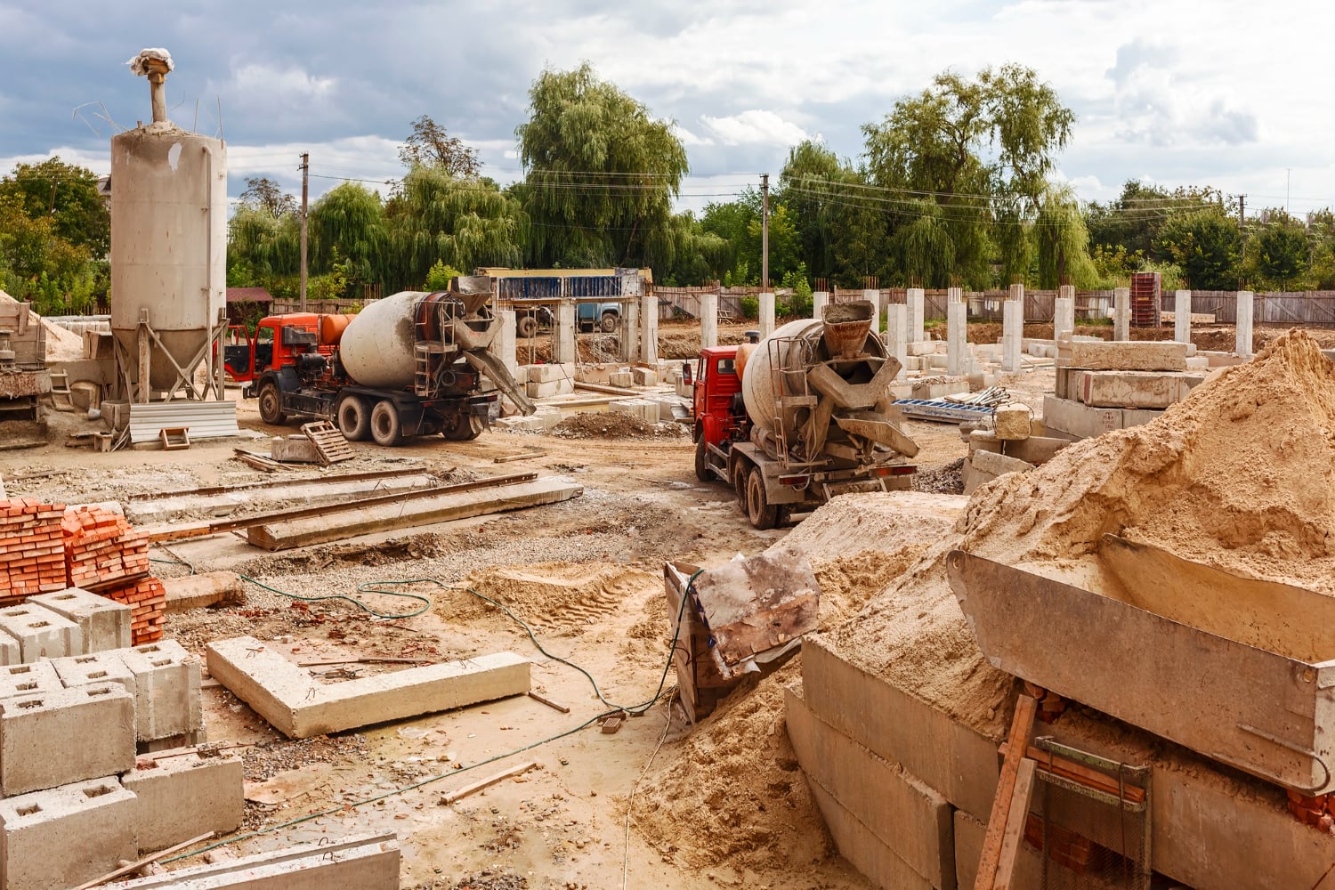
On the one hand, as many as 280 construction companies went bankrupt or initiated restructuring proceedings in 2022. On the other hand, it is an opportunity to introduce new tools and technologies to improve decision-making processes. It is in the digitization of construction that many companies see opportunities to increase project profitability, optimization and savings.

Pawel Wojcik, CMO of SkySnap, gave an interview to Geoinformation Magazine Geodet. We talked about whether the combination of drones and artificial intelligence algorithms is a threat or an opportunity for geodesy.
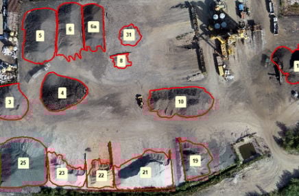
Measuring the volume of aggregates - whether heaps of aggregate, sand, ballast or other bulk materials - is an essential part of inventory management in many industries, including construction, mining and logistics. Traditional methods (such as surveying with a total station or GPS receiver) are time-consuming, expensive, error-prone and dangerous. That's why more and more companies are opting for drone-based volume measurement, which is fast, precise and safe.

Already at the bidding stage, cost estimators face the challenge of correctly pricing a given investment at the various stages: design, preparation of the land for the construction site, and implementation of the investment.
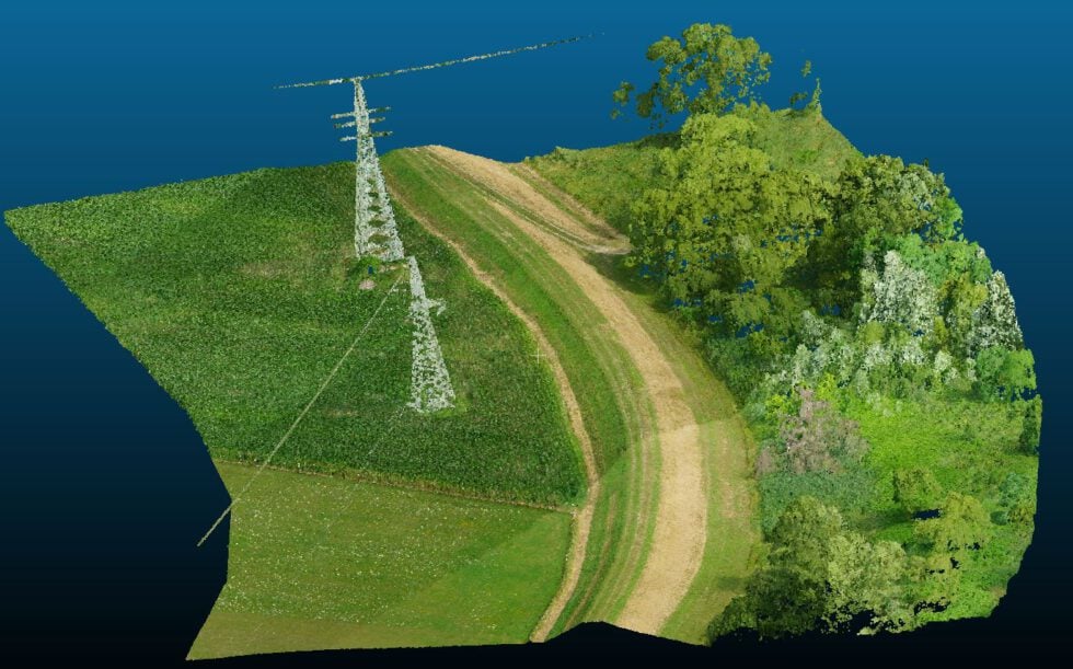
Our client, HydroBIM, specializes in the use of BIM methodology in hydraulic engineering projects. Traditional surveying for such an extensive structure can take a long time. Fortunately, drones can be used!
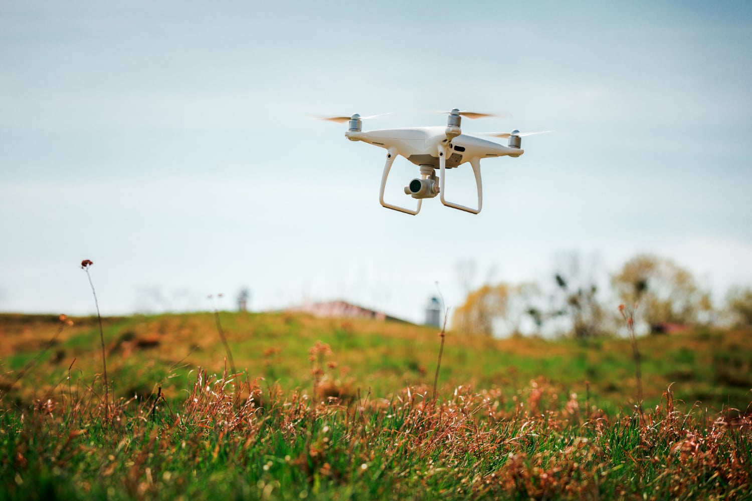
Our client, HydroBIM, specializes in the use of BIM methodology in hydraulic engineering projects. Traditional surveying for such an extensive structure can take a long time. Fortunately, drones can be used!
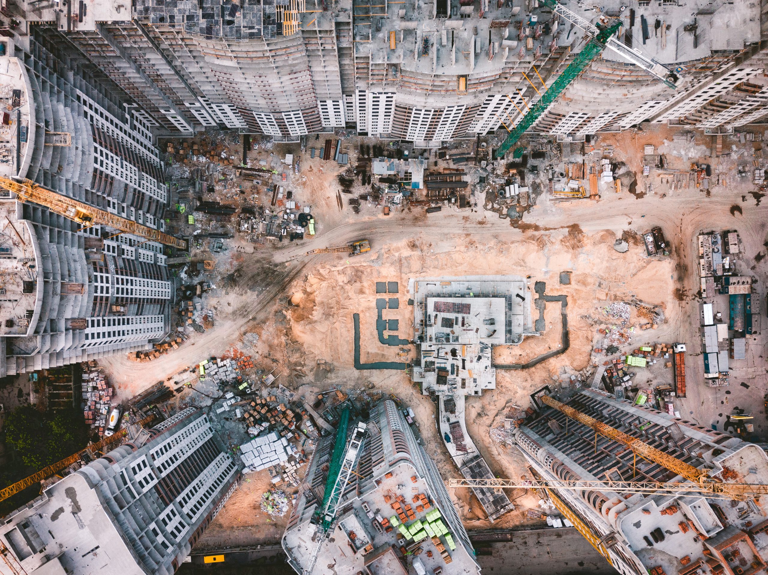
The construction industry is the largest market in the world. It generates an annual turnover of $10 trillion, or about 13% of the world's GDP. It is also the industry with the lowest productivity right next to agriculture.
Related Articles
More and more industries are using drone data. Properly processed into, for example, a 3D model of an object, they become an ideal data set for generating and updating so-called digital twins.
On the one hand, as many as 280 construction companies went bankrupt or initiated restructuring proceedings in 2022. On the other hand, it is an opportunity to introduce new tools and technologies to improve decision-making processes. It is in the digitization of construction that many companies see opportunities to increase project profitability, optimization and savings.
Pawel Wojcik, CMO of SkySnap, gave an interview to Geoinformation Magazine Geodet. We talked about whether the combination of drones and artificial intelligence algorithms is a threat or an opportunity for geodesy.
Measuring the volume of aggregates - whether heaps of aggregate, sand, ballast or other bulk materials - is an essential part of inventory management in many industries, including construction, mining and logistics. Traditional methods (such as surveying with a total station or GPS receiver) are time-consuming, expensive, error-prone and dangerous. That's why more and more companies are opting for drone-based volume measurement, which is fast, precise and safe.
Already at the bidding stage, cost estimators face the challenge of correctly pricing a given investment at the various stages: design, preparation of the land for the construction site, and implementation of the investment.
Our client, HydroBIM, specializes in the use of BIM methodology in hydraulic engineering projects. Traditional surveying for such an extensive structure can take a long time. Fortunately, drones can be used!
Our client, HydroBIM, specializes in the use of BIM methodology in hydraulic engineering projects. Traditional surveying for such an extensive structure can take a long time. Fortunately, drones can be used!
The construction industry is the largest market in the world. It generates an annual turnover of $10 trillion, or about 13% of the world's GDP. It is also the industry with the lowest productivity right next to agriculture.
Need more information?
Take a look at our Help Center – there you will find instructions, answers to the most common questions and guides to new features.

SkySnap
How can SkySnap help you with the topic of drone investment monitoring?
Accurate and Fast Inventory
Detailed data acquired from drones according to specifications for each identified object.
Reports
We perform analysis and measurements of infrastructure based on acquired data.
Dedicated Analysis and Measurement System
Online portal for easy data viewing, measurements, and collaboration among users.













