Webinars in series
Nothing Found
Related Articles
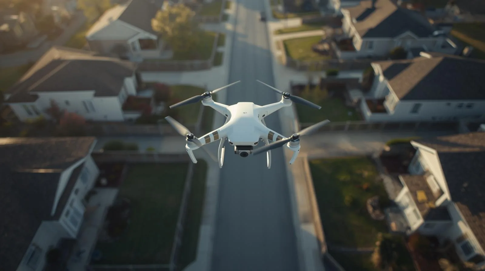
Can a drone fly over private property? This question raises many privacy and regulatory concerns. In this article we discuss current regulations, the rights of property owners and the responsibilities of drone operators. Find out what the rules are for flying over private property and how to effectively protect your space from unauthorized flights.
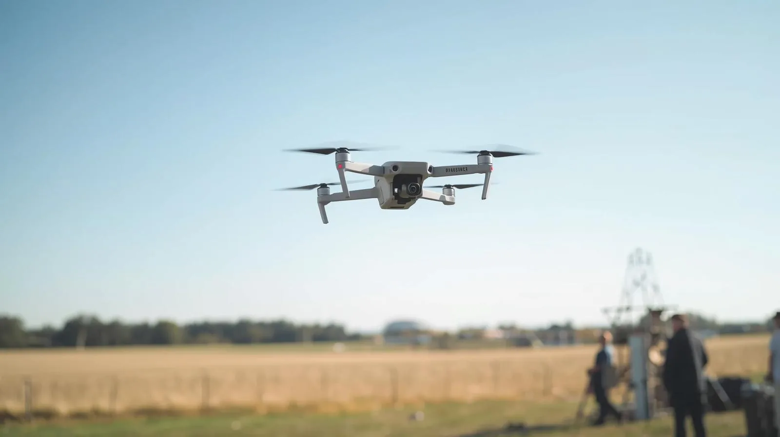
Do you need a permit to fly a drone? Regulations vary from country to country, as well as the purpose of the flight - recreational or commercial. In this article we explain when licenses are required, what the process of obtaining a permit looks like, and what rules apply in Poland. Find out how to fly a drone legally and safely!
Unmanned aerial vehicles (UAVs) are high-tech devices used in military, industry and everyday life. In this article, we explain what UAVs are, their applications and how they affect the development of modern technology. Learn about their history, operation and future!
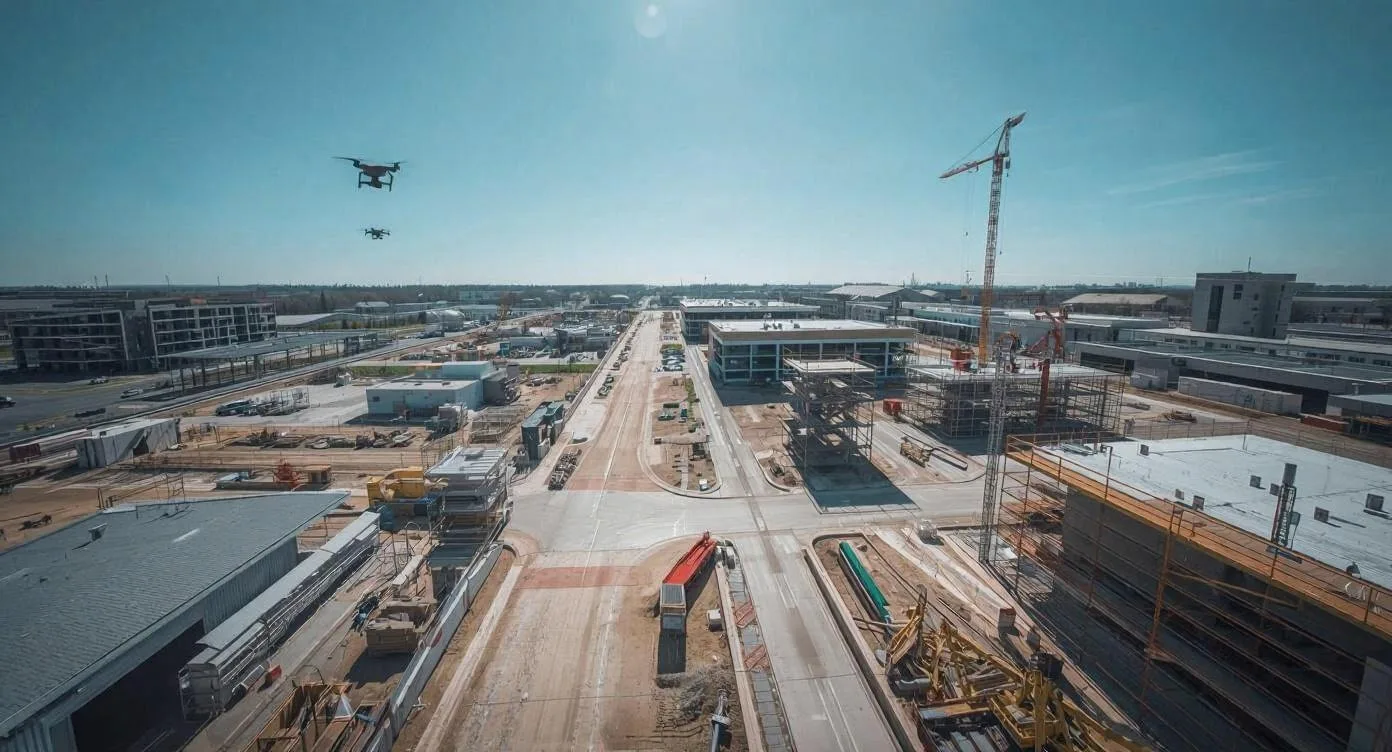
Drones are revolutionizing the construction industry, enabling precise inspections, monitoring the progress of work, and increasing safety on construction sites. In this guide, we discuss how modern drone technologies are impacting the construction sector, the benefits they bring, and the regulations that govern their use.
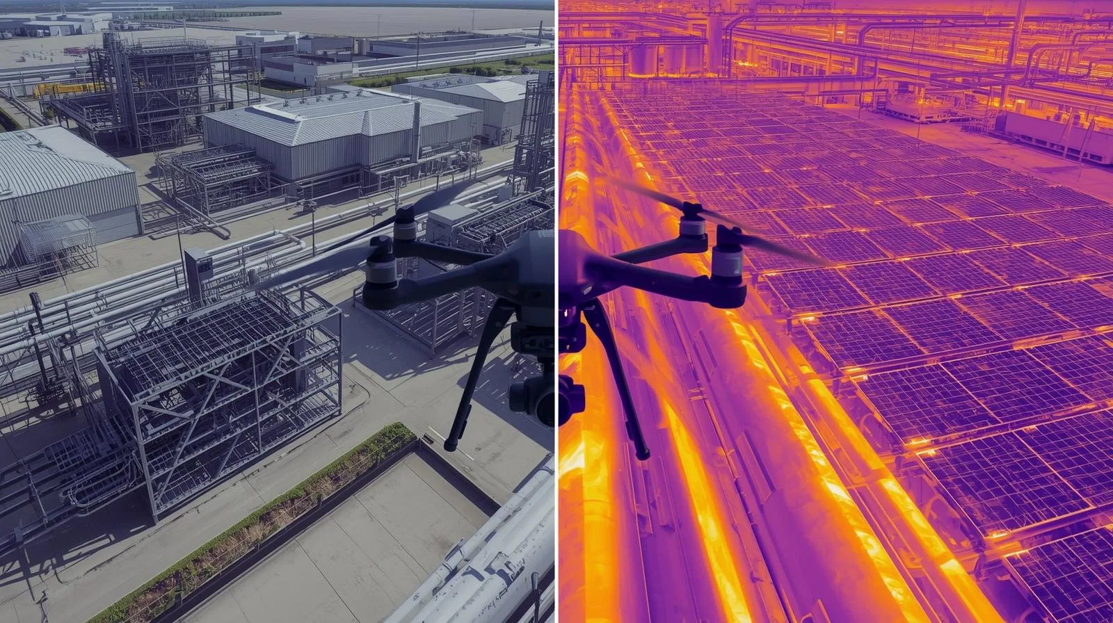
Thermal imaging measurements from a drone are an innovative diagnostic tool used in the construction, energy and environmental fields. Thanks to infrared technology, heat loss, installation damage and other anomalies invisible to the naked eye can be quickly detected. Find out how thermal drone cameras work and their practical applications.
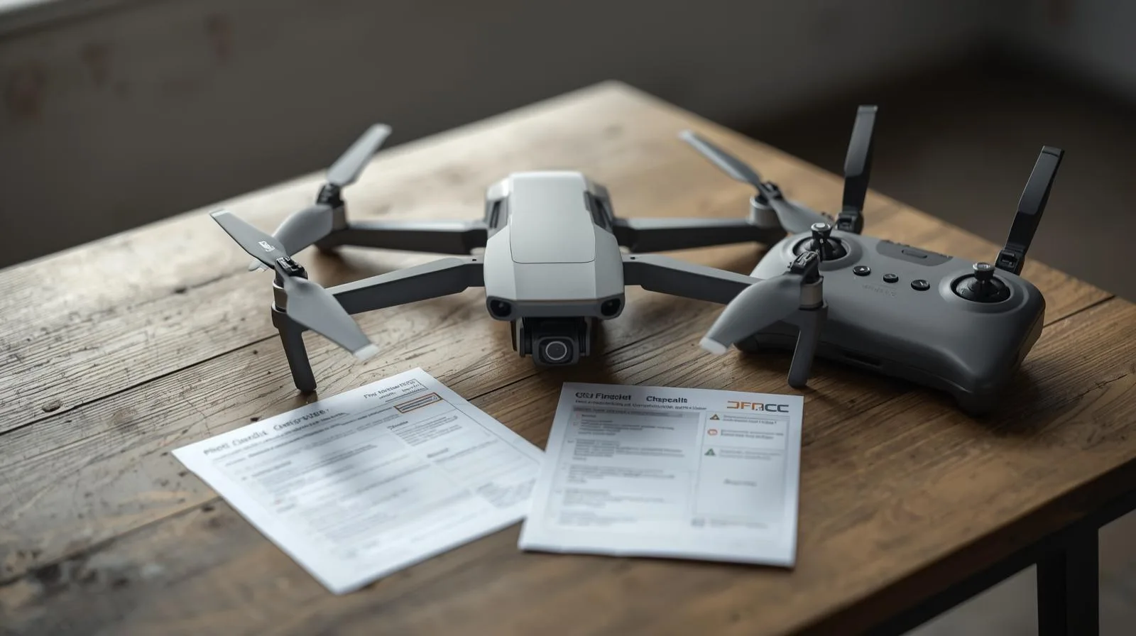
Drones have become an integral part of modern technology - they are used for both recreational and professional purposes. However, before you take to the air, it's worth checking whether you need a drone certification. In this article, we explain what regulations apply to drone operators, when registration is required, and what training and exams you need to pass. Learn about the legal requirements and how to avoid unpleasant consequences by flying under the current regulations.
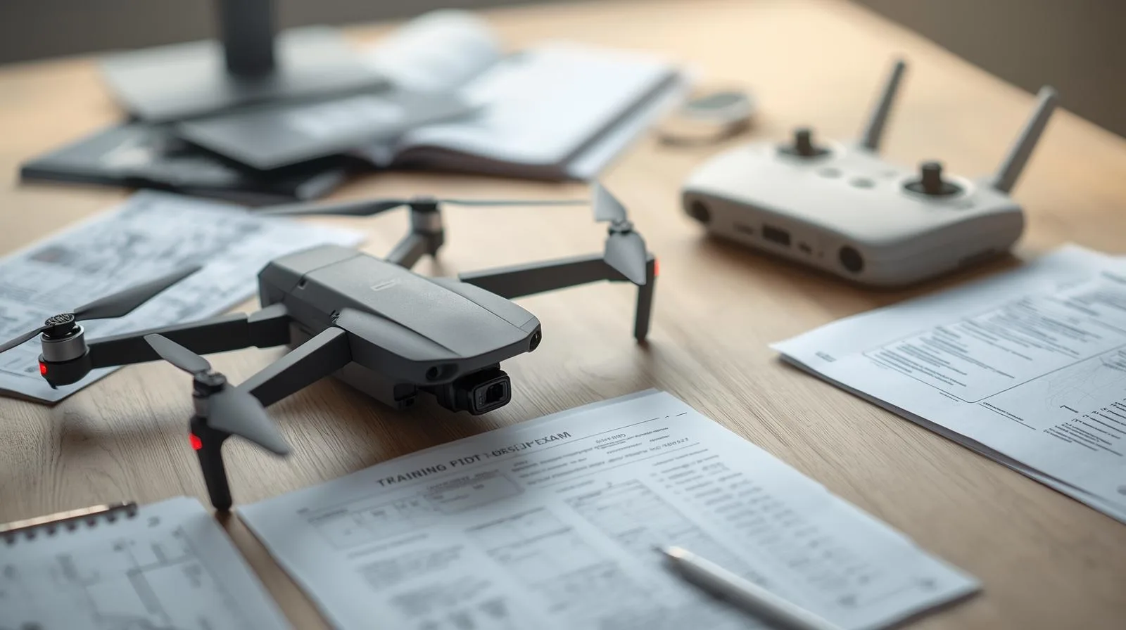
The drone pilot exam is a crucial step for anyone who wants to legally and professionally operate these devices. The certification process involves both theory and practice, so proper preparation is essential for success. In this article, you'll find practical tips for learning, techniques for effective memorization and how to avoid the most common mistakes. You will also learn what skills are worth mastering before the exam and what to do on the day of the test to increase your chances of a positive result.
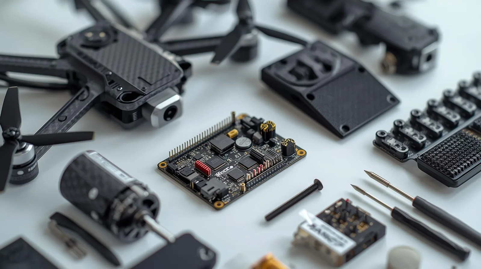
Building your own drone is an exciting challenge that allows you not only to better understand aviation technology, but also to customize the device. Choosing the right components - from the frame and motors to the flight controller - is crucial to the drone's performance and functionality. In this guide, we discuss the most important materials and technologies to consider during construction. You'll learn step-by-step how to assemble and configure your drone for stability, durability and optimal performance.
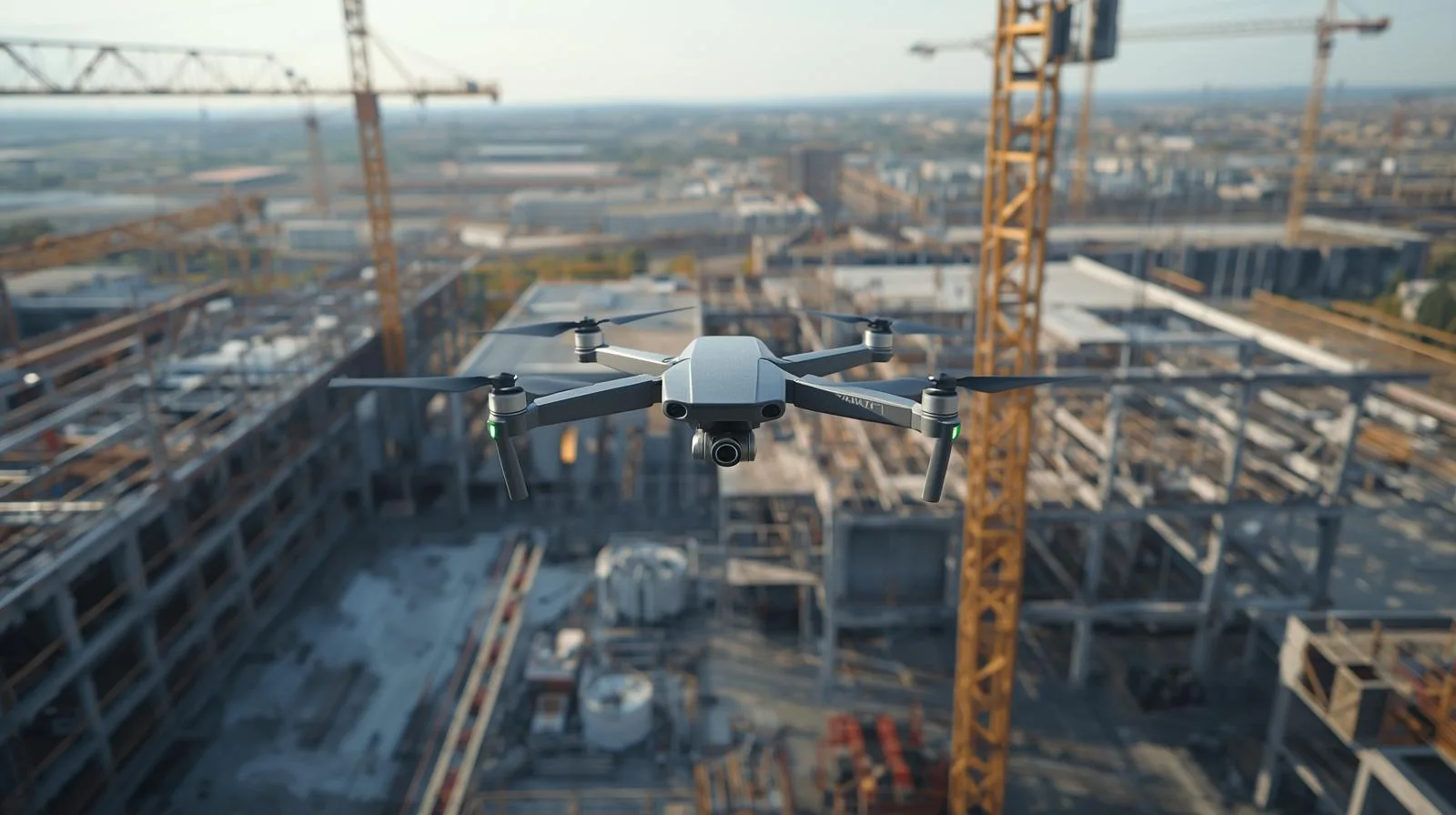
Drones are increasingly becoming an indispensable tool in the construction industry, streamlining progress monitoring, inspections and investment management. With precise site mapping, process automation and quick access to key data, construction companies can reduce costs and minimize the risk of errors. In the article, we look at how drones are revolutionizing the industry, what technologies are currently being used and how they could impact the future of the construction sector.
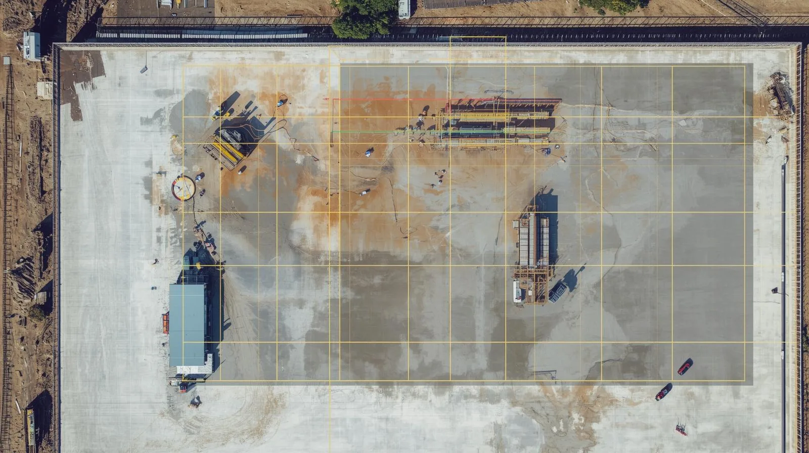
Orthophotos are a key tool in surveying, construction and urban planning, but their quality and accuracy can be compromised by various errors. Geolocation problems, low image resolution or terrain mapping errors can lead to inaccurate analyses. In this article, we discuss the most common challenges associated with orthophotos and proven methods to successfully resolve them. Learn how to improve data quality, optimize processing, and take full advantage of the potential of orthophotos in your work.

SkySnap
How can SkySnap help you with the topic of drone investment monitoring?
Accurate and Fast Inventory
Detailed data acquired from drones according to specifications for each identified object.
Reports
We perform analysis and measurements of infrastructure based on acquired data.
Dedicated Analysis and Measurement System
Online portal for easy data viewing, measurements, and collaboration among users.


")
")

")
")