Traditional inspection methods versus drone inspection
Building inspection is an essential part of maintaining building safety and efficiency. Traditionally, this process has been costly and time-consuming, requiring the hiring of a specialized company or specialists to check the condition of a building. But fortunately, technology is advancing and now drone roof and facade inspection offers a much faster, cheaper and more effective solution.
What is a drone inspection?
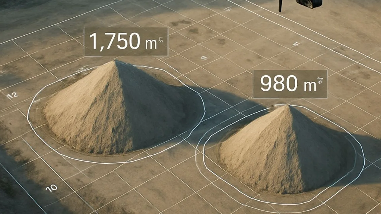
Drone inspection is a technique that uses remotely operated drones to thoroughly inspect the condition of buildings. Drones are equipped with high-resolution cameras and can reach areas that are difficult or impossible to inspect from ground level. This not only speeds up the inspection process, but also greatly simplifies it, giving an accurate assessment of the condition of items such as the roof, facade, chimney or gutters.
What are the advantages of drone inspection?
The advantage of drone roof and facade inspection over traditional methods is obvious. First of all, it is a fast method. A drone can traverse the entire surface of a roof and facade in a matter of minutes. Other advantages include:
- Safety – drone inspection eliminates the height-related risks inherent in traditional inspection.
- Accuracy – the drone’s camera is capable of capturing the smallest details that inspectors on the ground may miss.
- Inexpensive – the cost of a drone inspection is much lower than a traditional inspection, and does not require hiring specialized equipment or a team.
Who should be interested in a drone inspection?
Roof and facade inspection by drone is an ideal solution for property owners, building managers, construction companies, insurance companies and many others. It’s also a great tool for cities and municipalities that are looking for effective and low-cost solutions to monitor the condition of their infrastructure.
Where to find a drone inspection service?
Roof and facade inspection by drone is available from many suppliers, but before choosing one, it is worth doing some research and choosing a company with experience and a good reputation. One such supplier is SkySnap, which offers professional services in this field.

Free E-book
Learn how to prepare a mission step-by-step, avoid raid mistakes and create accurate orthophotos and 3D models. The perfect guide before your first commercial assignments.
Table of contents
Tips, news, insights
Related articles
Check out our articles and get the latest industry news.


")
")

")
")