Solutions

Using drones and artificial intelligence to modernize telecommunications infrastructure

We help Designers, Contractors, and Investors make better decisions based on accurate data acquired from drones.

Our services

Solutions for Monitoring Telecommunications Infrastructure

SkySnap offers a new solution for inventory, inspection, and measurement of telecommunications infrastructure. We provide high-resolution aerial imagery, a data analysis system, modeling tools, and measurement reports for any objects nationwide. Infrastructure measurements enable effective assessment of object condition, identification and tracking of defects, and design based on BIM models.

Accurate and Fast Inventory

Detailed data acquired from drones according to specifications for each identified object.

Reports

We perform analysis and measurements of infrastructure based on acquired data.

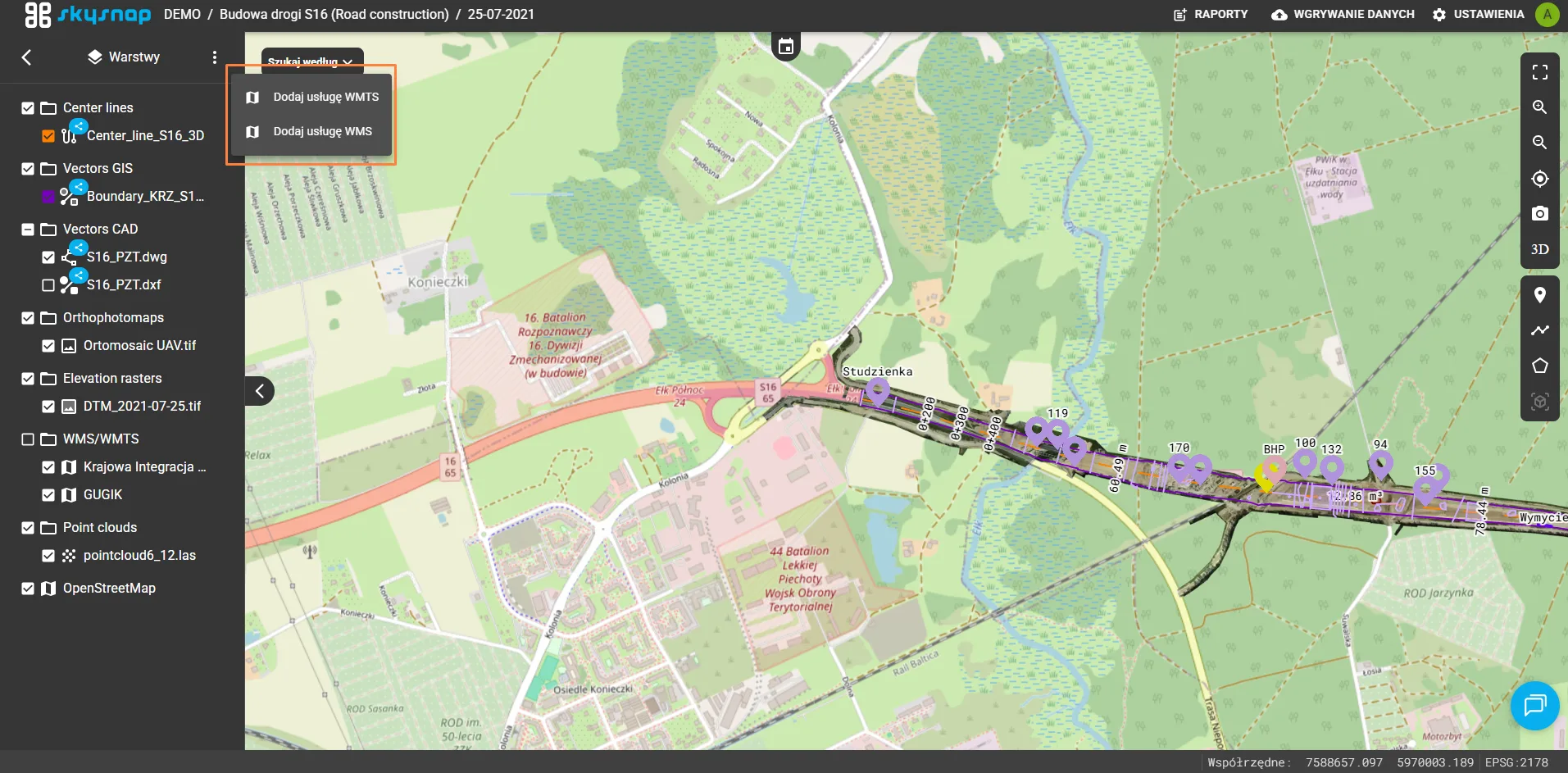
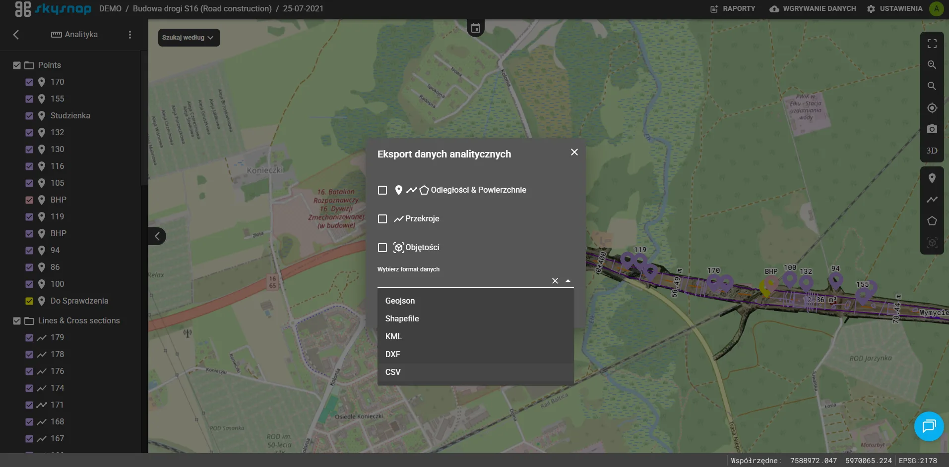
Dedicated Analysis and Measurement System

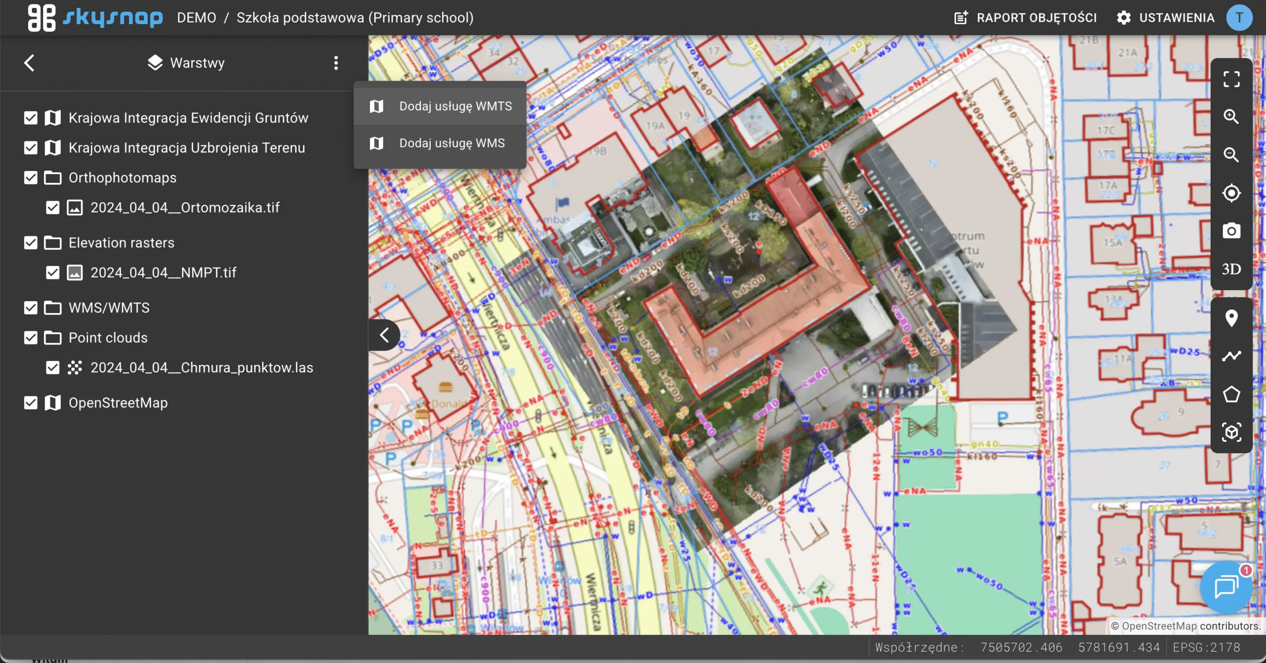
Online portal for easy data viewing, measurements, and collaboration among users.

Infrastructure Solutions

Available Services

We offer a range of services that allow monitoring infrastructure using aerial imagery and automated measurements.

Model 3D drogi i otoczenia wykonany dronem – inwentaryzacja i modelowanie terenu

Network Condition Inspection

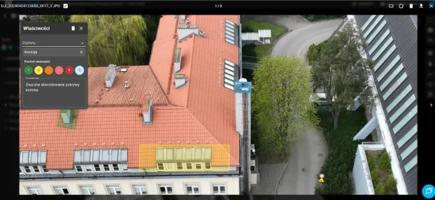
Utilize drones to acquire data on hard-to-reach objects and effectively assess their wear and tear.

Zdjęcie z drona przedstawiające inspekcję wnętrza i otoczenia zakładu przemysłowego

Spatial Analysis and Planning

Increase your tender chances by analyzing ranges for project or offer preparation using 3D models.

Analiza kolizji zieleni z infrastrukturą przesyłową na obrazie 3D z drona

Network Asset Management

Utilize drones and artificial intelligence to automate and accelerate network asset management.

Termowizyjna inspekcja stanu sieci przesyłowej z wykorzystaniem drona

Design and Expert Opinions

Reduce time and costs by using BIM models and artificial intelligence to create designs, expert opinions, and documentation.

Available Products

Drones are not just about photos. Inventory and measurements of large areas can be performed using various materials depending on needs. One can use only basic material, such as photos, or aim for detailed measurements with orthophotos / orthoimages and 3D models.

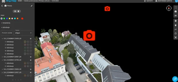
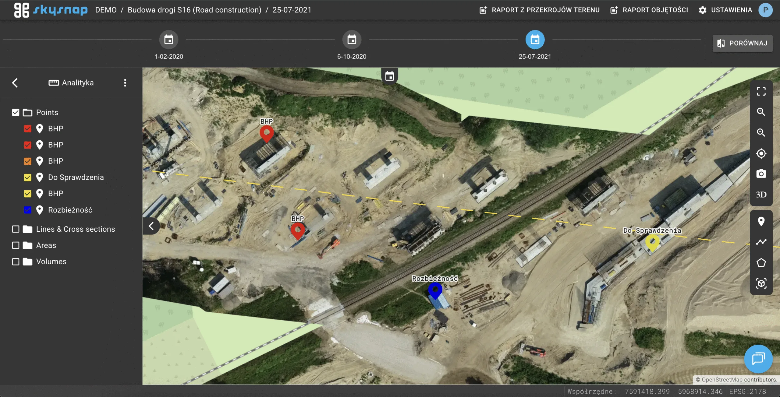
Podgląd zdjęcia lotniczego inwestycji wykonany dronem na platformie SkySnap

Photos / Videos
/ Orthophotos

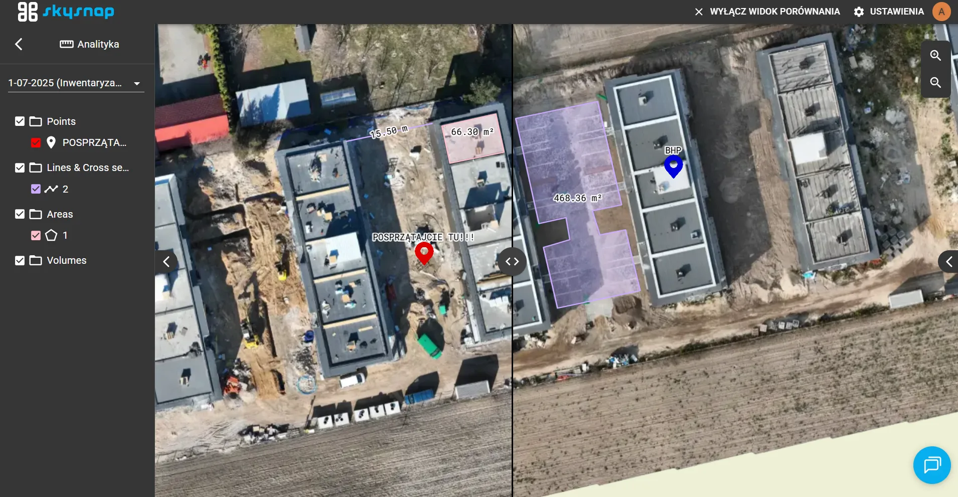
Overview material of an investment from a drone. Allows for a detailed assessment of infrastructure condition. Combined with a good viewing tool, it is an effective way to control and measure.

Ortofotomapa obiektu z możliwością pomiarów odległości na platformie SkySnap

3D Models / BIM

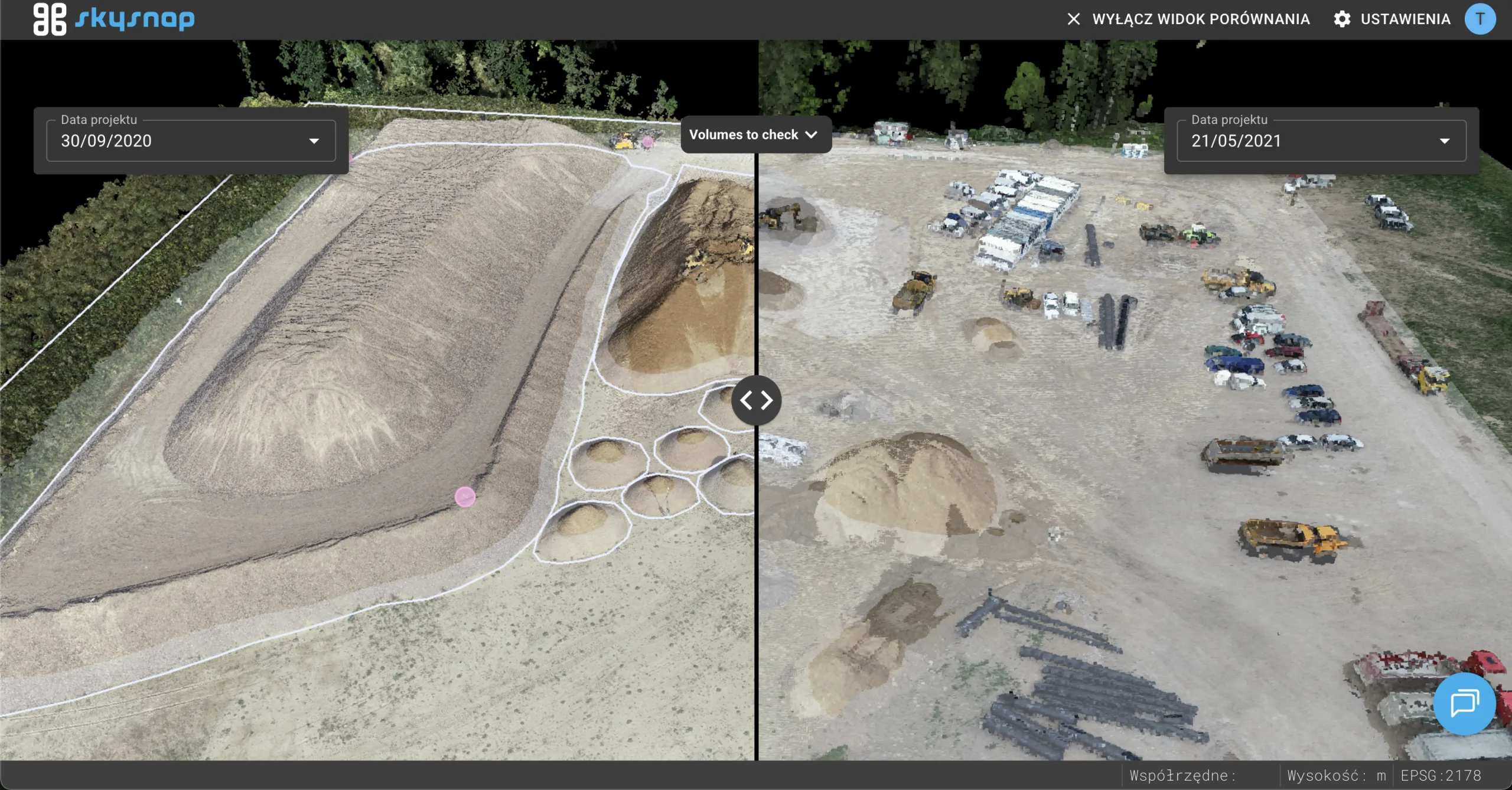
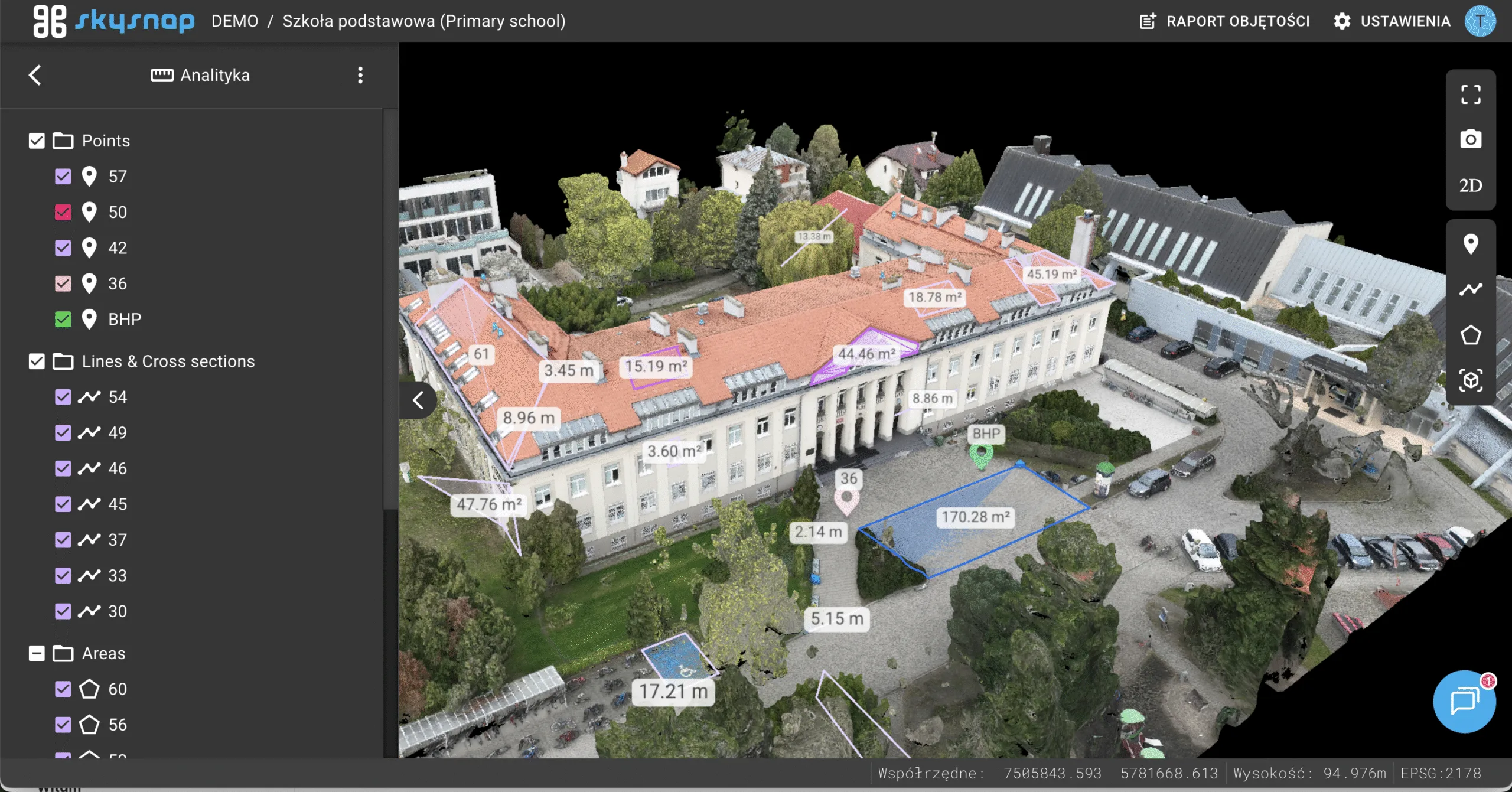
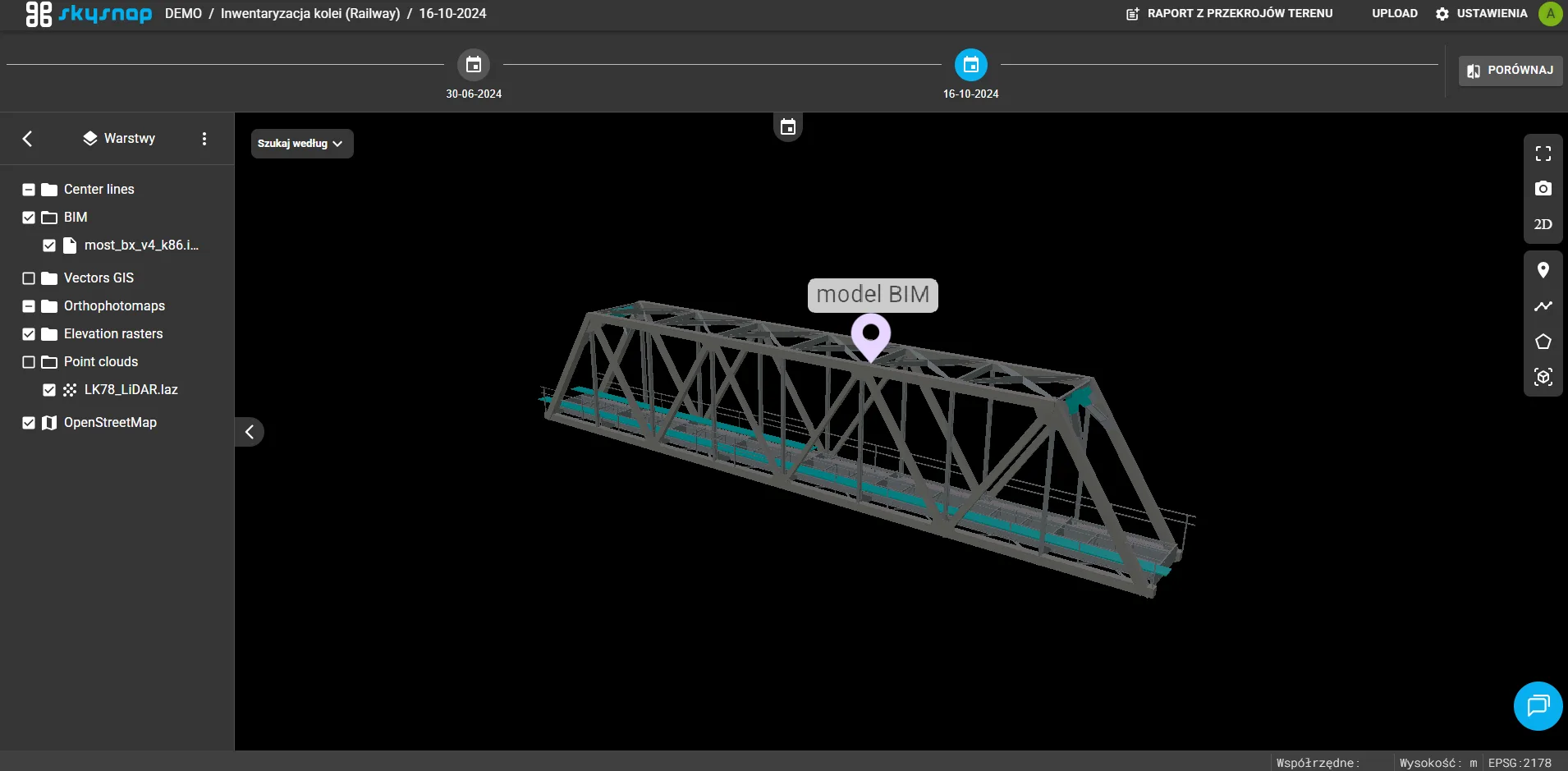
An accurate representation of an object from all sides, enabling precise inspection and measurements or asset management. Combined with a project, it is an excellent tool for controlling completed works and making quick decisions.

Model 3D terenu i infrastruktury z widokiem przekroju na platformie SkySnap

GIS DATABASES (spatial)

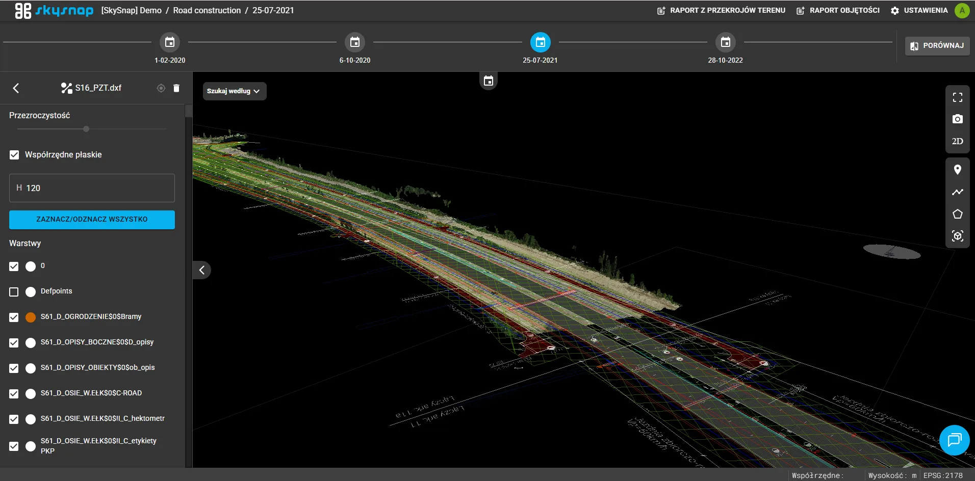
A digital database of selected objects allows for spatial analysis and measurements. A complete GIS database is the basis for infrastructure asset management.

Online data analysis portal

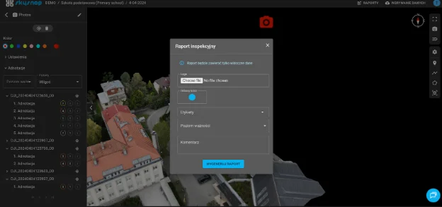
The dedicated system allows easy data access for all users, conducting detailed inspections from the office, and building knowledge about the facility. The greatest benefits for all parties are:

  • Better communication – common operational picture accessible in one place via web browser
  • Accurate decisions – information enabling quick identification and measurement of necessary elements

  • Lower costs – reduces data acquisition costs, facilitates design, and enables accurate modernization cost estimates

  • Safety – reduction of inspection work in hazardous locations

  • Building a knowledge base about the property – documentation in various locations over time

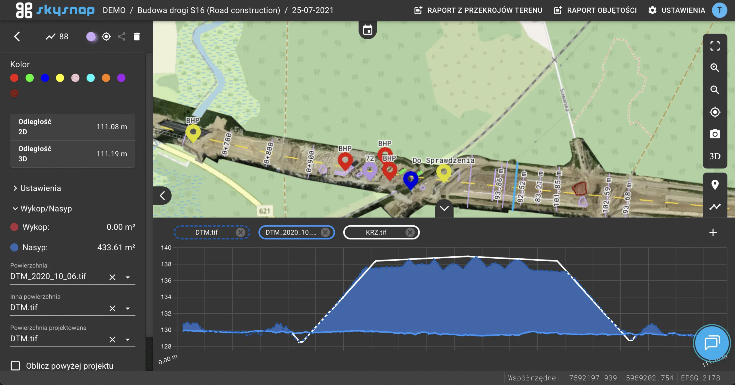
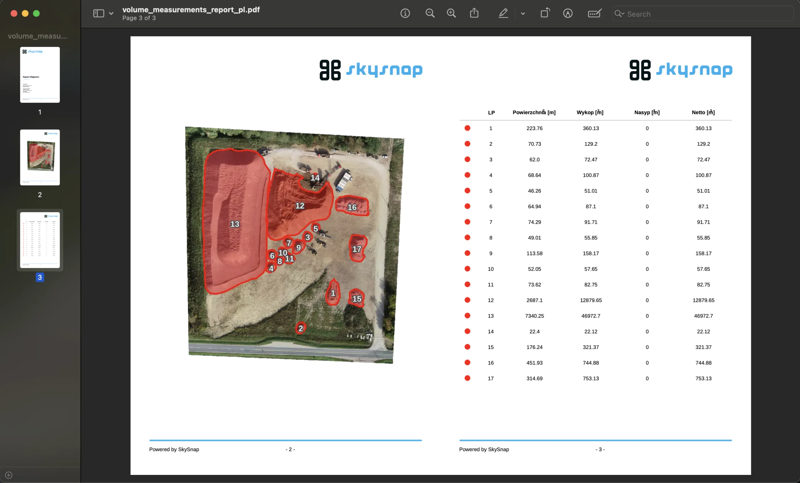
Raport pomiarowy SkySnap – wizualizacja 3D objętości ziemi i postępu prac budowlanych z drona

Construction Progress Reports

Based on drone data, our experts will conduct a detailed analysis and measurement of areas or elements selected by you. A detailed report summarizes terrain or facility measurements and detected faults. The greatest benefits are:

  • Effective communication at all project levels thanks to accurate and objective measurements

  • Ability to take quick corrective actions before they become costly, thanks to detailed summaries of infrastructure condition from the start of construction

  • Ability to generate automatic reports after conducting preliminary analysis on the online portal.

Download drone report

See how new technologies are entering the construction industry and changing the approach to daily tasks. From site inspection and measurements to team support and communication on the implemented project.

You will learn:

  • What tasks drones can be used for,
  • How to properly select services and products,
  • What benefits teams that already use this technology experience.

Online data analysis portal

A dedicated system allows easy access to data
for all users, conducting detailed inspection
from the office and building a knowledge base about the investment.
The greatest benefits for all involved parties are:

  • Better communication – shared view of the field situation, available in one place through a web browser
  • Accurate decisions – information enabling quick identification and measurement of necessary elements
  • Lower costs – reduction of data acquisition costs,
    facilitation of discussions between parties through constant online access and enabling precise work planning
  • Safety – reduction of inspection work in the field and at heights
  • Building investment knowledge base – documentation created at different times, with the ability to recreate historical states

Contact

Fill out the form and arrange a presentation of our solutions.

Write or call us if you have any questions or need advice.